

Abbey Craig
Good walks are even better shared.
NS8095 : Wallace Monument
G Laird Photo source
Overview
Abbey Craig
Nestled comfortably in Central Scotland, Abbey Craig stands at a height of 251 meters, offering a mere flick of a challenge for seasoned walkers, yet being a delightful jaunt for families and new hikers.
Geology
Abbey Craig's landscape is primarily carved from Old Red Sandstone, which graces the area with its characteristic reddish tint. The cliffs on the Craig present a splendid showcase of sedimentary rock formations, allowing geologists and curious minds alike to ponder the geological narrative of the region. So don’t forget to admire the rocks—after all, they’ve been around longer than any of us!
Routes
The most popular route to the summit is The Abbey Walk. This scenic loop provides an enjoyable trek through lush greenery, with well-marked paths leading upwards. The round trip is an easy 3.5 km, typically taking around 1.5 hours depending on your pace (and how often you stop for photos!).
Summit Features
At the summit, you'll be greeted by a trusty trig point which is not only a navigation aid but also a prime photo op! From here, the views extend outwards, inviting you to reflect on the stunning panorama encompassing the Forth River and the historical Stirling Castle.
Terrain
The terrain is mostly grassy, with some rocky outcrops that add a little spice to the journey. Do keep an eye on the weather; parts can get a bit boggy after a decent rain shower, just to keep your footwear on its toes!
Views
Take your time at the top: The best views can be found in Spring and Autumn, where the air is crisp and clear, ideal for spying distant landmarks stretching across the horizon.
Hazards
While Abbey Craig is relatively friendly, the sheer cliff edges can tempt adventure. Do exercise care, particularly in wet weather, as the footing can become slippery and precarious. Safety first, selfies second!
Nearby Summits
A short trek can lead you to nearby notable summits like Wallace Monument and Bannockburn Hill, adding variety to your hiking adventures while you’re in the area.
Access
For those driving, there’s a small parking area located at the base of the Craig on the A872. If you’re relying on public transport, the nearest bus stop is just a short walk away in the bustling village of Bridge of Allan. The village itself offers numerous amenities to hikers, including delightful cafes and necessary comforts like restrooms.
History
The mountain gets its name from the nearby Cambuskenneth Abbey, giving a nod to its historical significance. Not just a pretty face, Abbey Craig is entwined with epic tales of Scottish history, compelling walkers to tread carefully and enjoy the echoes of the past.
Happy hiking, and don't forget to leave no trace!
Explore routes near Abbey Craig
Walks starting near this hill. Open a route to check its map, distance and full itinerary.
Strathallan Court Strollers and Stragglers
View route
Fallin Bing Wednesday Walk
View route
King's Park and the Golf Course
View route
King's Park to Cambusbarron
View route
Route planning notes
These notes describe possible approaches. Check a route's map and access information when planning your walk.
The Abbey Walk
A scenic loop that begins at the base of the Craig and leads to the summit with stunning views along the way.
Make a day of it, together
Find someone to share the walk with, or organise a day out along a route you like.
Photo Gallery
View all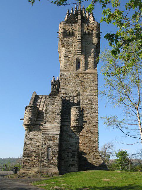 Photo could not load
NS8095 : Wallace Monument
G Laird
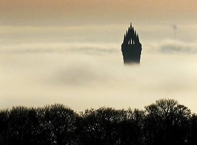 Photo could not load
NS8095 : Wallace Monument and cloud inversion
William Starkey
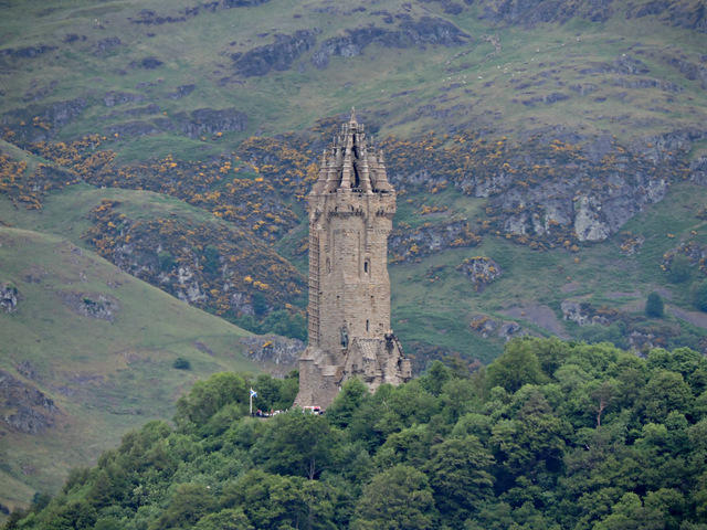 Photo could not load
NS8095 : The National Wallace Monument
Thomas Nugent
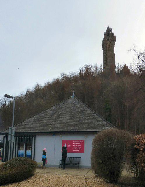 Photo could not load
NS8095 : Wallace Monument
Gerald England
 Photo could not load
NS8095 : The entrance to the National Wallace Monument
Gerald England
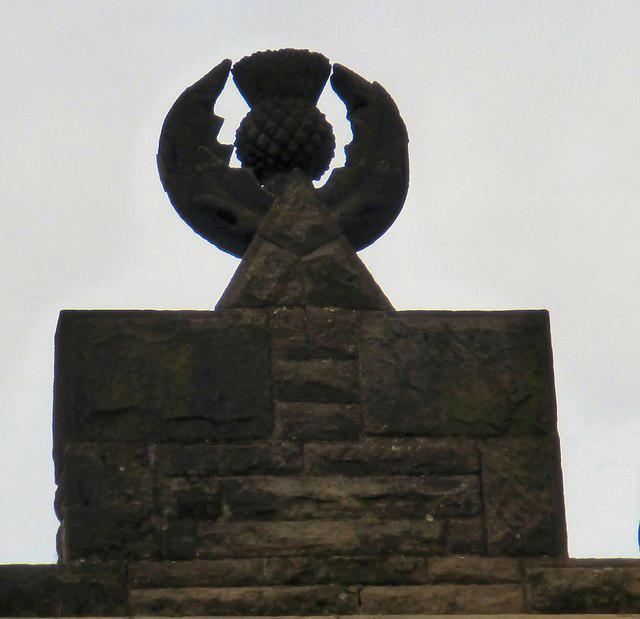 Photo could not load
NS8095 : A thistle made of stone
Gerald England
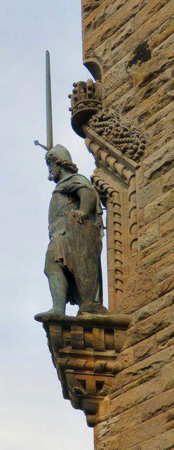 Photo could not load
NS8095 : Stevenson's Wallace
Gerald England
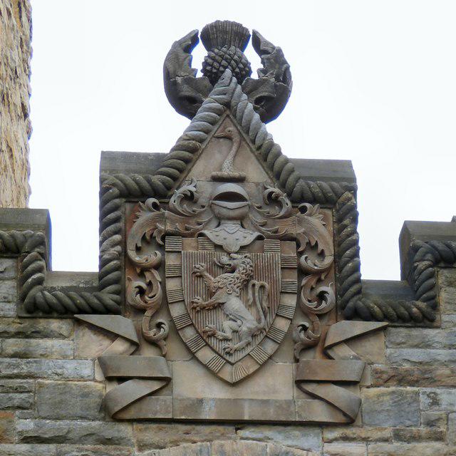 Photo could not load
NS8095 : Wallace coat of arms
Gerald England
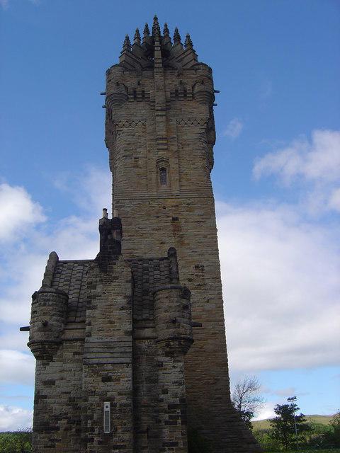 Photo could not load
NS8095 : Wallace Monument
James Hearton
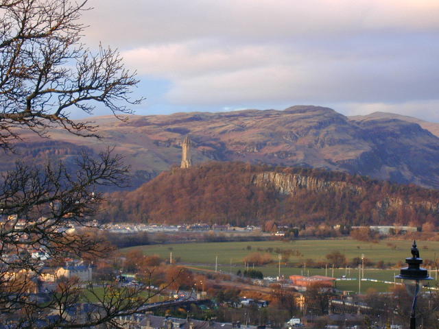
NS8095 : The Wallace Monument
Chris Gunns
Hill facts and local notes
Classifications
Elevation
111m
364 ft
Prominence
83m
Coordinates
56.1390, -3.9176
NS809956
OS Map
57
Explorer: 366E 366W
At the Summit
The summit features a prominent trig point which is a favourite spot for photographs, plus stunning panoramic views across the surrounding landscape.
Terrain & Geology
Abbey Craig is composed mainly of Old Red Sandstone, giving it a distinctive reddish hue. The cliff faces present an interesting showcase of sedimentary rock formations, which provide insights into the geological history of the area.
Views & Scenery
Clear views of the Forth River, Stirling Castle, and the Central Highlands in the distance.
History & Heritage
Name Origin
The name 'Abbey Craig' comes from the nearby ruins of the 12th-century Cambuskenneth Abbey, reflecting its historical roots.
Historical Significance
The area is steeped in history, being close to significant battle sites and royal connections from Scotland’s tumultuous past.
Getting There & Facilities
Parking
There is a small car park at the base of Abbey Craig on the A872, which accommodates around a dozen cars.
Public Transport
The nearest bus stop is a short walk away in the village of Bridge of Allan, with service from Stirling.
Nearby Facilities
There are several cafes and restaurants in Bridge of Allan, as well as public toilets available near the park.
Safety Information
Known Hazards
- Avoid walking near the cliff edges, especially in wet conditions. The terrain can be slippery and uneven.
General Safety Tips
- Check weather conditions before setting out
- Carry appropriate clothing and equipment
- Let someone know your planned route
- Take a map, compass, and GPS device
- Carry emergency supplies: food, water, first aid kit, torch
Hills
Some common questions about the hills answered
Are there group walks up Abbey Craig?
Many walkers use Walkmates to join or organise walks with others. You can check for group walks around Abbey Craig through the maps
Are there other walkers around Abbey Craig?
Activity varies by location and time, but Walkmates lets you see whether others have shared walks or shown interest in this area. Find other people through the walking friends search walking friends for Abbey Craig search or of course create your own walk for Abbey Craig
Can I organise a walk to Abbey Craig?
Yes. If there aren’t any walks listed already, you can create a walk and make it available for others to join.
If you're signed up to Walkmates, you can create a walk to Abbey Craig.
How do I find a walk up this hill?
There are often multiple ways to walk this hill, depending on experience and route preference. Walkmates helps you explore walks and routes that others have shared.
Can I suggest a new route up Abbey Craig?
Yes. You can suggest or create routes to share with others. Walkmates focuses on the social side of walking, so routes are used to help people organise walks and explore areas together, rather than as detailed navigation tools or route libraries.
Other uses really appreciate knowledgeable walkers sharing their routes. Share your favourite route to Abbey Craig here
The is an error or something incorrect about this hill. How do I let you know?
We always strive to keep the information on Walkmates as accurate as possible. If you find an error, please let us know through the contact form and we'll aim to correct it as quickly as possible
Community Discussion
Comments
Location
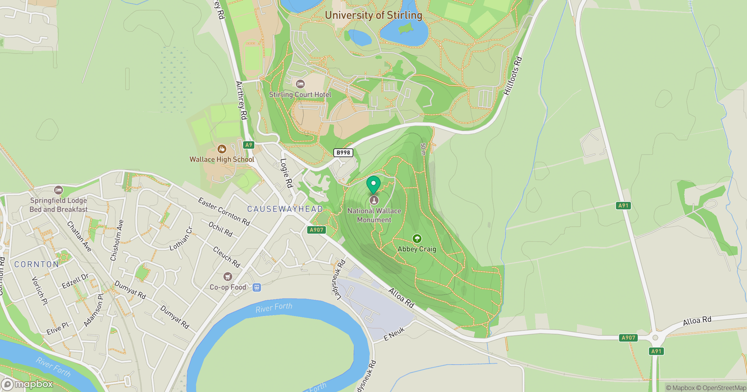
Grid reference: NS809956
View on OpenStreetMapOpens a map in a new tab, centred on the hill.


No comments yet. Be the first.