

Wigmore Rolls
Good walks are even better shared.
Overview
Exploring Wigmore Rolls
Nestled in the heart of Herefordshire, Wigmore Rolls offers a delightful escape for hikers eager to embrace the tranquility of the countryside. With an elevation of 262 meters, it’s not going to make you break a sweat too much, but it still provides ample rewards for your efforts.
Geology
Primarily composed of limestone and some sandstone, the geology of Wigmore Rolls sets the stage for a rich tapestry of flora and fauna. The diverse soil types around the hill ensure that the landscape is lively, especially in spring when the wildflowers bloom. Keep an eye out for the odd limestone outcrop, they can feel like nature's version of a real estate agent's portfolio!
Access and Parking
Accessing Wigmore Rolls is a piece of cake. The nearest parking is located at Wigmore Castle, making it easy to begin your adventure with half a cup of coffee in hand (we won’t judge). The castle ruins themselves are worth a wander before or after your hike.
For those without wheels, the local buses from Leominster will get you to the village in no time. It’s around 8 km from Leominster, but walking can be a good warm-up for the summit!
Routes
Among the routes available, the Wigmore Castle Trail is a favourite. At about 4.5 km in length and taking roughly 1.5 hours, it’s perfect for a brisk stroll or a more leisurely hike while enjoying the scenic views. If you’re up for a bit of a challenge, you can tackle a portion of The Herefordshire Trail, which, at 20 km, can be a hefty task but the views will keep you motivated.
Summit Features
As you reach the top, you’ll find a small grassy area — the perfect picnic spot. You might even make a new friend or two with the local sheep. After all, what’s a hike without some company?
Views
The vistas from the summit are truly a treat. On a clear day, the rolling hills of Herefordshire spread out beneath you, and if you squint hard enough, you can catch a glimpse of the Black Mountains looming in the distance. The best times to visit for views that’ll take your breath away (in a good way, not like running up the hill) are during spring and autumn.
Hazards
While Wigmore Rolls isn’t known for being dangerous, be mindful of the occasional boggy patch and the uneven terrain, especially after rain. Low-lying sheep granules also make up the trail, so do be watchful for that aspect too.
Nearby Summits
For those wanting to explore more, nearby Wigmore Hill rises to about 320 meters and is a charming addition to your hiking itinerary.
Final Thoughts
Wigmore Rolls is a hidden treasure that invites you to explore its pastoral beauty, rich history, and serene landscape. Whether you’re an experienced hiker or a casual walker, you’ll find plenty to admire here in the heart of Herefordshire. Pack your sandwiches, lace up those boots, and step into nature! Don’t forget to save some crumbs for the sheep!
Explore routes near Wigmore Rolls
Public walks starting within 80 km of this hill. Nearby does not mean a route reaches the summit; check its map and access before setting out.
Croft Castle: Fishpool Valley and the Gothic pumphouse
View route
Mortimer Forest Lower Evens Circuit
View route
Ludlow Town Walls and Castle Walk
View route
Berrington Hall: woodland, lake and Windmill Hill
View route
Route planning notes
These notes describe possible approaches, not verified navigable routes or permission to cross land. Check current paths, local access rules and conditions before setting out.
Wigmore Castle Trail
A scenic route that starts at Wigmore Castle and winds its way through lush countryside to the summit of Wigmore Rolls.
The Herefordshire Trail
Part of a longer trail that includes a detour to Wigmore Rolls, offering a mix of beautiful landscapes and local history.
Make a day of it, together
Find someone to share the walk with, or organise a day out along a route you like.
Photo Gallery
View all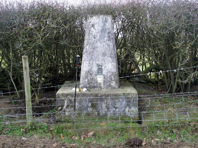 Photo could not load
SO3969 : Wigmore Rolls Trig Point S7901
Rude Health
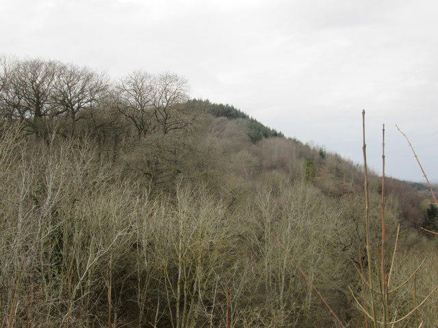 Photo could not load
SO4069 : Wigmore Rolls (Viewed from Wigmore Castle)
Fabian Musto
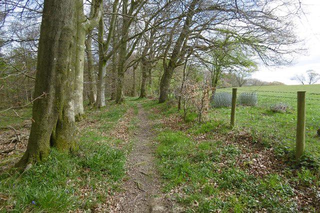 Photo could not load
SO3969 : Path, Wigmore Rolls
Richard Webb
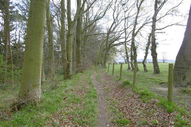 Photo could not load
SO4069 : Path, Lawn Bank Coppice
Richard Webb
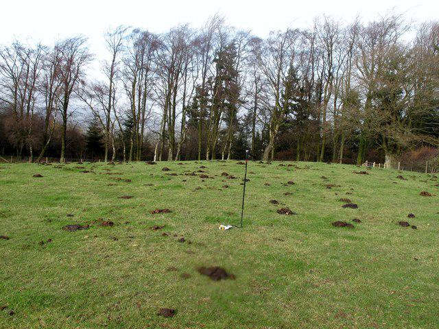 Photo could not load
SO4069 : Wigmore Rolls
Rude Health
Hill facts and local notes
Classifications
Elevation
288m
945 ft
Prominence
114m
Coordinates
52.3224, -2.8808
SO400697
OS Map
137 148
Explorer: 203
At the Summit
The summit is crowned with a small grassy area that offers a great spot to enjoy a packed lunch, along with a few friendly sheep who might share the view with you.
Terrain & Geology
Primarily composed of limestone with some sandstone elements, Wigmore Rolls is a splendid example of the underlying geology of the Herefordshire region. The surrounding countryside also features intriguing mixed soils that support diverse flora.
Views & Scenery
From the summit, hikers can enjoy sweeping views of the Herefordshire countryside, with the distant Black Mountains peeking through the landscape.
History & Heritage
Name Origin
The name 'Wigmore' is thought to derive from Old English, meaning 'Wicga's moor' – a fitting name for the serene landscape.
Historical Significance
Wigmore Rolls is steeped in local history, with proximity to the ruined Wigmore Castle, once a significant stronghold in medieval times.
Getting There & Facilities
Check current local access restrictions, parking rules and transport timetables before travelling. These notes do not confirm public access to the summit.
Parking
There is a small car park at Wigmore Castle, which provides access to the trailhead for the Wigmore Castle Trail.
Public Transport
Regular bus services from Leominster connect to the village of Wigmore. Check local schedules for precise timings.
Nearby Facilities
The village of Wigmore has a small convenience store, and there are public toilets available near the castle.
Safety Information
Known Hazards
- Occasional boggy patches after rain, uneven terrain, and livestock on the paths require attention and caution.
General Safety Tips
- Check weather conditions before setting out
- Carry appropriate clothing and equipment
- Let someone know your planned route
- Take a map, compass, and GPS device
- Carry emergency supplies: food, water, first aid kit, torch
Hills
Some common questions about the hills answered
Are there group walks up Wigmore Rolls?
Many walkers use Walkmates to join or organise walks with others. You can check for group walks around Wigmore Rolls through the maps
Are there other walkers around Wigmore Rolls?
Activity varies by location and time, but Walkmates lets you see whether others have shared walks or shown interest in this area. Find other people through the walking friends search walking friends for Wigmore Rolls search or of course create your own walk for Wigmore Rolls
Can I organise a walk to Wigmore Rolls?
Yes. If there aren’t any walks listed already, you can create a walk and make it available for others to join.
If you're signed up to Walkmates, you can create a walk to Wigmore Rolls.
How do I find a walk up this hill?
There are often multiple ways to walk this hill, depending on experience and route preference. Walkmates helps you explore walks and routes that others have shared.
Can I suggest a new route up Wigmore Rolls?
Yes. You can suggest or create routes to share with others. Walkmates focuses on the social side of walking, so routes are used to help people organise walks and explore areas together, rather than as detailed navigation tools or route libraries.
Other uses really appreciate knowledgeable walkers sharing their routes. Share your favourite route to Wigmore Rolls here
The is an error or something incorrect about this hill. How do I let you know?
We always strive to keep the information on Walkmates as accurate as possible. If you find an error, please let us know through the contact form and we'll aim to correct it as quickly as possible
Community Discussion
Comments
Location
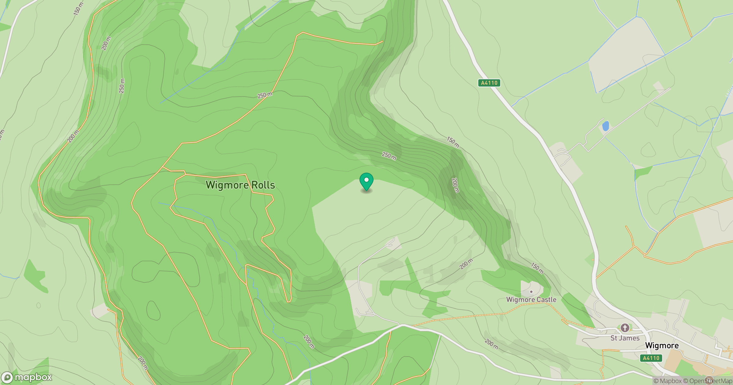
Grid reference: SO400697
View on OpenStreetMapOpens a map in a new tab, centred on the hill.
Hills within 30 km
Straight-line distance, not a walking route or confirmation of access.
Long Mynd - Pole Bank
517m
Stiperstones
537m
Titterstone Clee Hill
533m
The Camp
286m
Coxall Knoll
262m
No comments yet. Be the first.