

Bringewood
Good walks are even better shared.
Overview
Bringewood: A Hiker's Delight
Nestled in the beautiful Shropshire Hills, Bringewood stands proudly at an elevation of 382 meters, offering both history and stunning vistas. This ancient hill fort reveals layers of geological intrigue formed from Silurian sandstone, making it a fine example of the region's rugged beauty.
Routes
One popular trail is the Bringewood Hill Trail, a 5.0 km loop that takes about 2 hours to complete. It's classified as moderate, ensuring that while it may raise your heartbeat slightly, it’s not likely to raise your blood pressure too much! The trail weaves through wooded areas and grassy knolls, enticing those with a sense for adventure.
Summit Features
When you reach the summit, you’re greeted by a rocky outcrop, perfect for a rest stop and a cheeky selfie against the backdrop of the beautiful countryside.
Views
The views from Bringewood's summit are nothing short of spectacular. You can see the Malvern Hills to the south, the Wrekin, and the lush landscapes that stretch across Shropshire. In spring and autumn, when the scenery is particularly vibrant, it's like nature's own version of Instagram.
Hazards
As with any outdoor adventure, a few hazards lurk about. Be cautious of slippery paths following rainfall, and keep your eyes peeled for local wildlife that may pop out when you least expect it. No one likes a surprise squirrel on their hike!
Nearby Summits
For those looking to extend their adventure, nearby summits like Bury Ditches and Walbury Hill offer additional opportunities for exploration and fine views.
Access
Access is facilitated by a nearby Bringewood Picnic Area, which provides ample parking. If you're counting on public transport, local buses from Ludlow or Knighton may get you somewhat close, so do check those schedules before planning your expedition. Ludlow, about 8 km to the south, has all the amenities a hiker could ask for.
Facilities
Facilities are quite limited around Bringewood, but the charming town of Ludlow is stocked with cafes, restaurants, and facilities that won't let you ‘go’ when nature calls.
History
Interestingly, the name 'Bringewood' evokes imagery of its wooded past, hinting at an era when nature flourished unfettered here. Historically, this location has significance, with traces of ancient settlements that speak volumes of the area’s rich heritage.
In conclusion, Bringewood is a delightful destination for hikers and outdoor enthusiasts alike, promising rewarding views and a sprinkle of history. Whether you’re in it for the exercise, the scenery, or the experience, this little gem in the Shropshire Hills won’t disappoint.
Happy hiking!
Explore routes near Bringewood
Public walks starting within 80 km of this hill. Nearby does not mean a route reaches the summit; check its map and access before setting out.
Mortimer Forest Lower Evens Circuit
View route
Ludlow Town Walls and Castle Walk
View route
Croft Castle: Fishpool Valley and the Gothic pumphouse
View route
Berrington Hall: woodland, lake and Windmill Hill
View route
Route planning notes
These notes describe possible approaches, not verified navigable routes or permission to cross land. Check current paths, local access rules and conditions before setting out.
Bringewood Hill Trail
A scenic loop that takes you around Bringewood Hill, offering varied terrain and stunning views.
Make a day of it, together
Find someone to share the walk with, or organise a day out along a route you like.
Photo Gallery
View all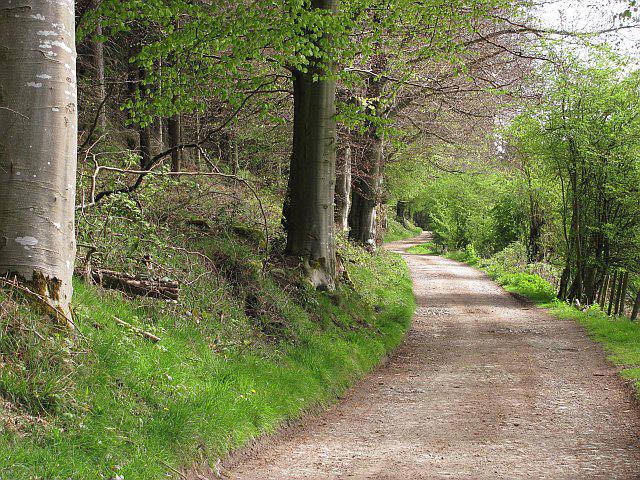 Photo could not load
SO4673 : Forest road above Monstay
Richard Webb
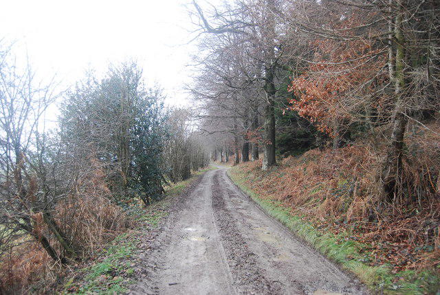 Photo could not load
SO4673 : Forest track, Mortimer (Bringewood ) Forest
N Chadwick
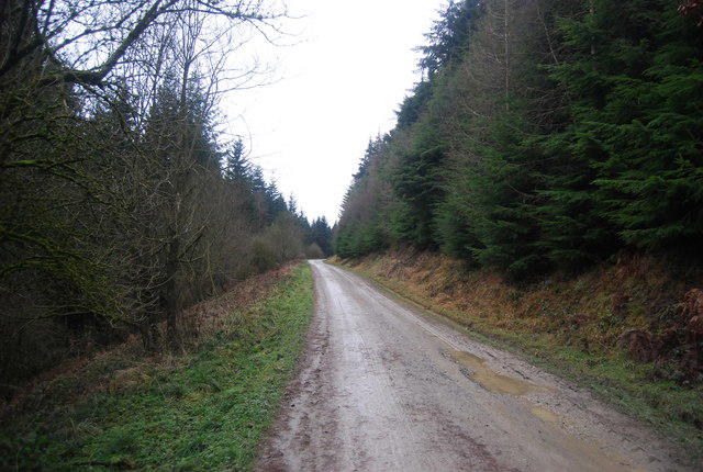 Photo could not load
SO4773 : Forest Track, Mortimer Forest
N Chadwick
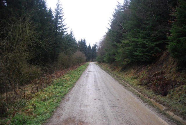 Photo could not load
SO4773 : Forestry Track, Mortimer Forest
N Chadwick
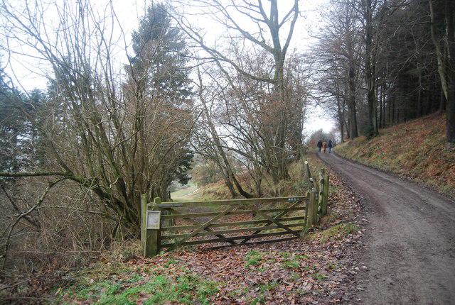 Photo could not load
SO4673 : Footpath to Monstay
N Chadwick
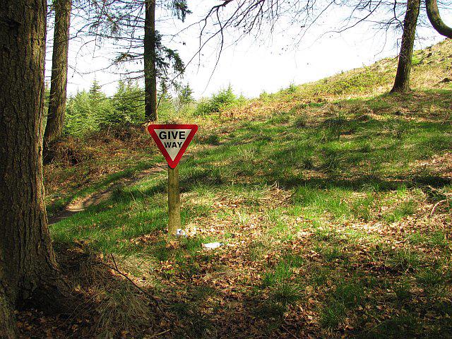 Photo could not load
SO4673 : Give Way sign
Richard Webb
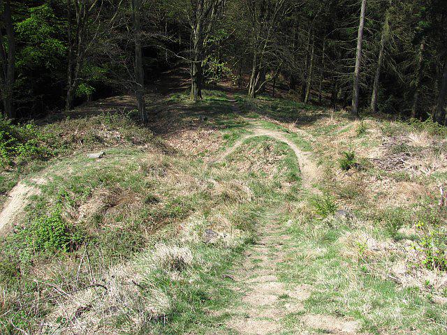 Photo could not load
SO4673 : Downhill course, Bringewood
Richard Webb
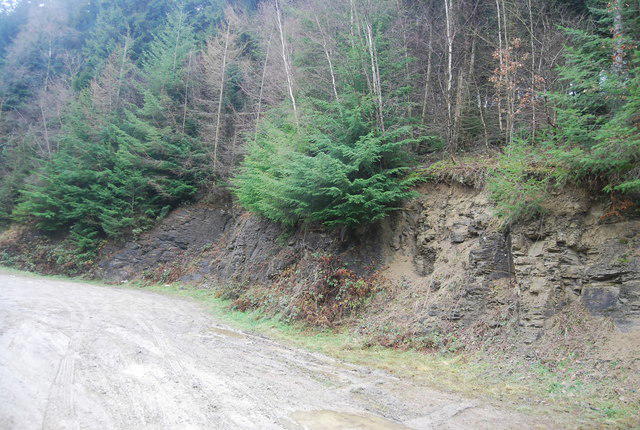 Photo could not load
SO4773 : Small disused quarry, Mortimer Forest
N Chadwick
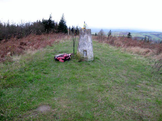 Photo could not load
SO4673 : Bringewood
Rude Health
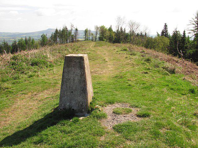 Photo could not load
SO4673 : Bringewood trig point
Richard Webb
Hill facts and local notes
Classifications
Elevation
363m
1,191 ft
Prominence
120m
Coordinates
52.3568, -2.7811
SO469734
OS Map
137 138 148
Explorer: 203
At the Summit
The summit is marked by a stone outcrop and a picturesque view east towards the River Teme and the surrounding hills.
Terrain & Geology
Primarily composed of Silurian sandstone, the rock formations are ancient and display typical features of erosion, adding a rugged charm to the area.
Views & Scenery
From the summit, hikers can see the Malvern Hills, the Wrekin, and the sprawling landscapes of the Shropshire countryside.
History & Heritage
Name Origin
The name 'Bringewood' is derived from the Old English 'bring,' meaning 'to bring' and 'wudu' for 'wood,' hinting at the area's wooded past.
Historical Significance
The area is steeped in local history, with evidence of ancient settlements and hill forts, showcasing its importance in historical stratagem.
Getting There & Facilities
Check current local access restrictions, parking rules and transport timetables before travelling. These notes do not confirm public access to the summit.
Parking
The nearest parking area is at the Bringewood Picnic Area, located off the A4110, which provides ample space for vehicles.
Public Transport
Public transport options are limited, but local buses run from Ludlow and Knighton to nearby villages; check local schedules.
Nearby Facilities
Facilities are limited in the immediate area, but Ludlow offers a variety of cafes, restaurants, and public toilets.
Safety Information
Known Hazards
- Be aware of slippery paths after rain and watch out for wildlife that may make a surprise appearance.
General Safety Tips
- Check weather conditions before setting out
- Carry appropriate clothing and equipment
- Let someone know your planned route
- Take a map, compass, and GPS device
- Carry emergency supplies: food, water, first aid kit, torch
Hills
Some common questions about the hills answered
Are there group walks up Bringewood?
Many walkers use Walkmates to join or organise walks with others. You can check for group walks around Bringewood through the maps
Are there other walkers around Bringewood?
Activity varies by location and time, but Walkmates lets you see whether others have shared walks or shown interest in this area. Find other people through the walking friends search walking friends for Bringewood search or of course create your own walk for Bringewood
Can I organise a walk to Bringewood?
Yes. If there aren’t any walks listed already, you can create a walk and make it available for others to join.
If you're signed up to Walkmates, you can create a walk to Bringewood.
How do I find a walk up this hill?
There are often multiple ways to walk this hill, depending on experience and route preference. Walkmates helps you explore walks and routes that others have shared.
Can I suggest a new route up Bringewood?
Yes. You can suggest or create routes to share with others. Walkmates focuses on the social side of walking, so routes are used to help people organise walks and explore areas together, rather than as detailed navigation tools or route libraries.
Other uses really appreciate knowledgeable walkers sharing their routes. Share your favourite route to Bringewood here
The is an error or something incorrect about this hill. How do I let you know?
We always strive to keep the information on Walkmates as accurate as possible. If you find an error, please let us know through the contact form and we'll aim to correct it as quickly as possible
Community Discussion
Comments
Location
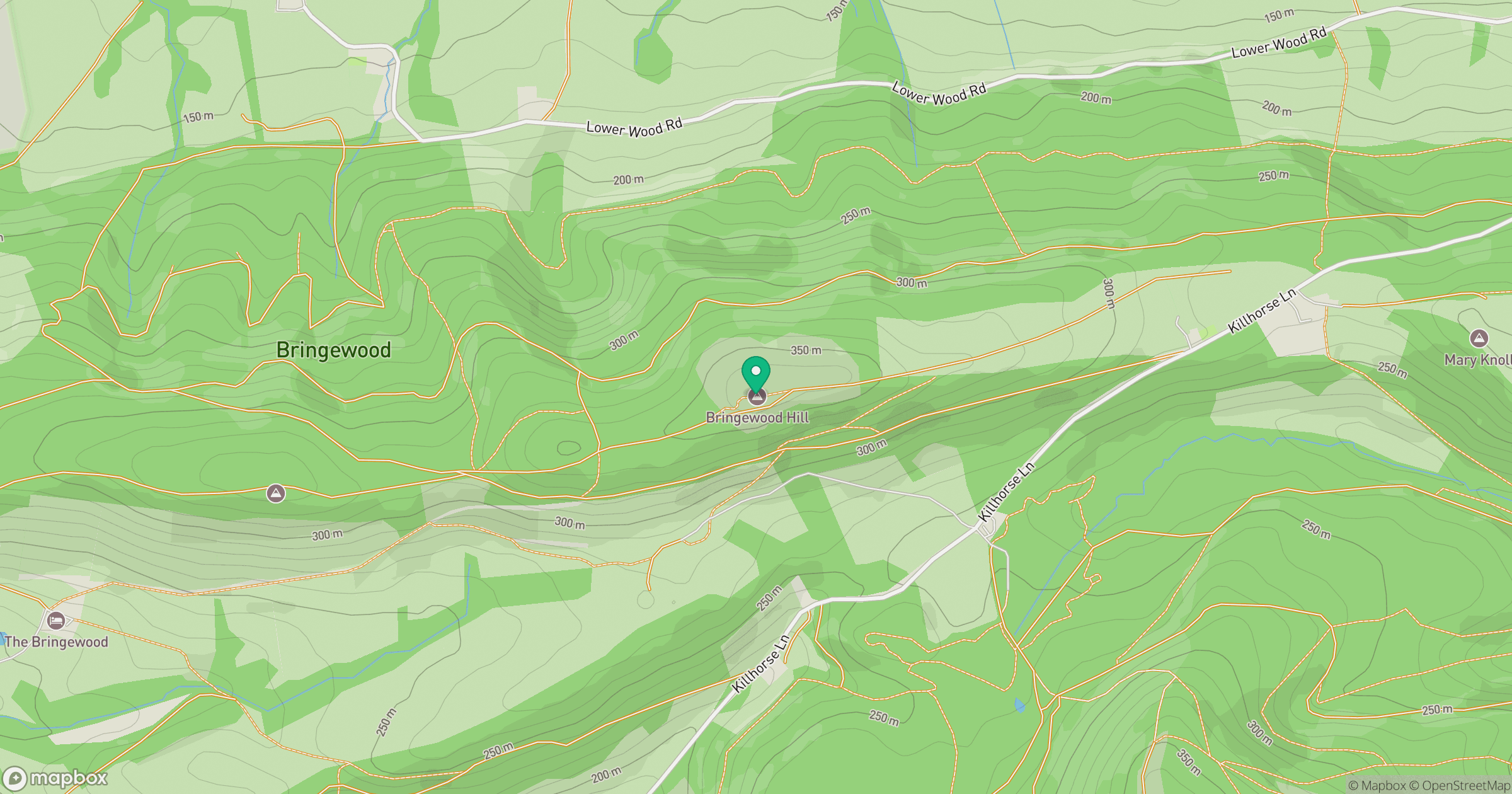
Grid reference: SO469734
View on OpenStreetMapOpens a map in a new tab, centred on the hill.
Hills within 30 km
Straight-line distance, not a walking route or confirmation of access.
Titterstone Clee Hill
533m
Long Mynd - Pole Bank
517m
Stiperstones
537m
High Vinnalls
376m
Norton Camp
292m
No comments yet. Be the first.