

Clunbury Hill
Good walks are even better shared.
Overview
Clunbury Hill
Clunbury Hill, standing proudly at 421 meters, is a Marilyn nestled in the enchanting Shropshire Hills. While it's hardly the Alps, this little gem offers great views, enough to make you feel on top of the world—if only until the next hill!
Geology
Primarily made up of Old Red Sandstone, this hill boasts a variety of rocky outcrops along its slopes. The terrain is mostly grassy with sections that can become quite boggy, especially after a good downpour, so make sure your boots are up to the task!
Access
Parking is a breeze in the charming village of Clun. Just a stone's throw away from Clunbury Hill, you can park and take in the quaint scenery before embarking on your adventure. If you're relying on public transport, regular bus services connect Clun to nearby towns.
Routes
One of the most popular routes is the Clun to Clunbury Hill walk, covering approximately 6.5 km and taking around 2.5 hours. It's rated as moderate, which means you won't need a Sherpa, but be prepared for a bit of a workout. This route is especially beautiful during spring when the landscape comes alive with colours.
Summit Features
At the summit, you'll find a trig point that makes for a great photo op. Feel free to pretend you're on a testing expedition—always good for a laugh as you send updates to your friends!
Views
Oh, the views! From the top, enjoy horizons that encompass Bury Ditches, Offa's Dyke, and the rolling hills of South Shropshire. It's simply stunning, particularly in spring and autumn when the colours are at their peak.
Hazards
While Clunbury Hill may not be Everest, it's important to stay cautious. Slippery conditions can arise in wet weather, and make sure to keep an eye on fog predictions—no one wants to end up in a cloud without knowing which way to go!
Nearby Summits
If you're feeling adventurous, nearby summits include Bury Ditches at 426 m and the notable Clee Hill at 540 m, both offering additional exploration opportunities.
Facilities
After a satisfying hike, reward yourself at one of Clun's quaint cafes or pubs where you can grab a cuppa or a pint. There are also public toilets near the village centre to freshen up before heading home.
In summary, Clunbury Hill may not be the highest peak, but its charm and beauty are undeniable. Whether you're a local or a visitor, this little hill offers a slice of adventure with a side of splendid views.
Happy hiking!
Explore routes near Clunbury Hill
Public walks starting within 80 km of this hill. Nearby does not mean a route reaches the summit; check its map and access before setting out.
Mortimer Forest Lower Evens Circuit
View route
Ludlow Town Walls and Castle Walk
View route
Croft Castle: Fishpool Valley and the Gothic pumphouse
View route
Carding Mill Valley and The Long Mynd walk
View route
Route planning notes
These notes describe possible approaches, not verified navigable routes or permission to cross land. Check current paths, local access rules and conditions before setting out.
Clun to Clunbury Hill Walk
A picturesque route from the charming village of Clun, winding through lush countryside and offering stunning views as it ascends.
Make a day of it, together
Find someone to share the walk with, or organise a day out along a route you like.
Photo Gallery
View all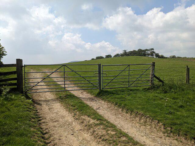 Photo could not load
SO3779 : Gates on Clunbury Hill
Fabian Musto
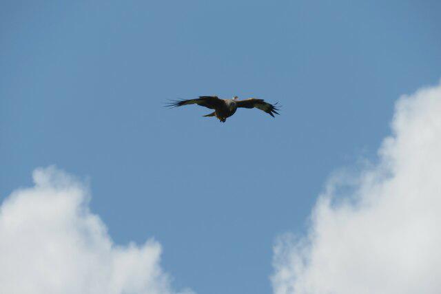 Photo could not load
SO3779 : Red kite at Clunbury
Fabian Musto
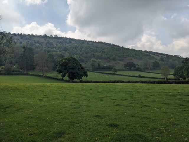 Photo could not load
SO3779 : Clunbury Hill
Fabian Musto
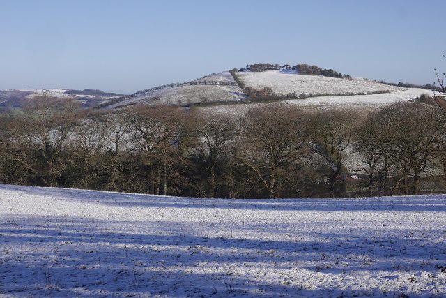 Photo could not load
SO3779 : Clunbury Hill
Richard Webb
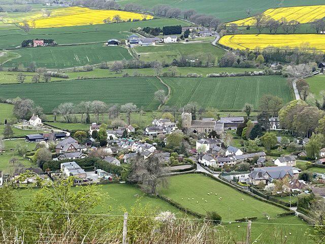 Photo could not load
SO3779 : Clunbury village
Andrew Shannon
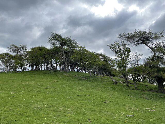 Photo could not load
SO3779 : Clunbury Hill
Andrew Shannon
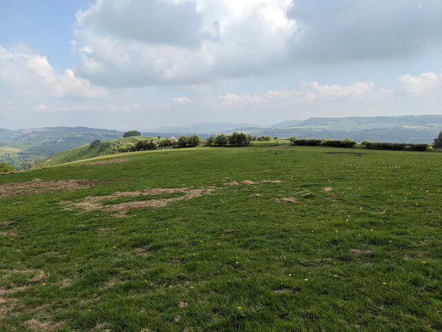 Photo could not load
SO3779 : Countryside from Clunbury Hill
Fabian Musto
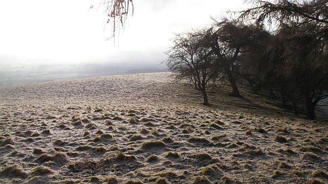 Photo could not load
SO3779 : Clunbury Hill, The summit
Richard Webb
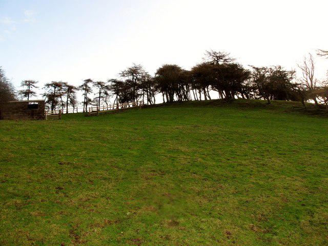 Photo could not load
SO3779 : Clunbury Hill
Rude Health
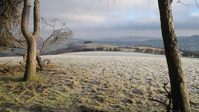 Photo could not load
SO3779 : Clunbury Hill
Richard Webb
Hill facts and local notes
Classifications
Elevation
304m
997 ft
Prominence
131m
Coordinates
52.4122, -2.9256
SO371797
OS Map
137 148
Explorer: 201N
At the Summit
The summit features a triangulation point (trig point) used for mapping purposes, as well as a few scattered stones that give it an ancient feel.
Terrain & Geology
Primarily composed of Old Red Sandstone, Clunbury Hill exhibits gently sloping sides and occasional rocky outcrops, providing a great mix of both earthy and stony terrain.
Views & Scenery
From the summit, one can see Bury Ditches, Offa's Dyke, and the rolling hills of the South Shropshire Area of Outstanding Natural Beauty.
History & Heritage
Name Origin
The name 'Clunbury' derives from the Old English elements meaning 'hill fort by the Clun river'.
Historical Significance
Historically, Clunbury Hill has been a strategic lookout point, and the area is rich in archaeological finds, including ancient earthworks.
Getting There & Facilities
Check current local access restrictions, parking rules and transport timetables before travelling. These notes do not confirm public access to the summit.
Parking
There is parking available in Clun, a short distance from the starting point of the walk to Clunbury Hill.
Public Transport
Regular bus services run between Clun and nearby towns; check local listings for schedules.
Nearby Facilities
Clun offers a few quaint cafes and pubs, as well as public toilets located near the village centre.
Safety Information
Known Hazards
- Expect slippery conditions in wet weather and be cautious of low visibility during fog.
General Safety Tips
- Check weather conditions before setting out
- Carry appropriate clothing and equipment
- Let someone know your planned route
- Take a map, compass, and GPS device
- Carry emergency supplies: food, water, first aid kit, torch
Hills
Some common questions about the hills answered
Are there group walks up Clunbury Hill?
Many walkers use Walkmates to join or organise walks with others. You can check for group walks around Clunbury Hill through the maps
Are there other walkers around Clunbury Hill?
Activity varies by location and time, but Walkmates lets you see whether others have shared walks or shown interest in this area. Find other people through the walking friends search walking friends for Clunbury Hill search or of course create your own walk for Clunbury Hill
Can I organise a walk to Clunbury Hill?
Yes. If there aren’t any walks listed already, you can create a walk and make it available for others to join.
If you're signed up to Walkmates, you can create a walk to Clunbury Hill.
How do I find a walk up this hill?
There are often multiple ways to walk this hill, depending on experience and route preference. Walkmates helps you explore walks and routes that others have shared.
Can I suggest a new route up Clunbury Hill?
Yes. You can suggest or create routes to share with others. Walkmates focuses on the social side of walking, so routes are used to help people organise walks and explore areas together, rather than as detailed navigation tools or route libraries.
Other uses really appreciate knowledgeable walkers sharing their routes. Share your favourite route to Clunbury Hill here
The is an error or something incorrect about this hill. How do I let you know?
We always strive to keep the information on Walkmates as accurate as possible. If you find an error, please let us know through the contact form and we'll aim to correct it as quickly as possible
Community Discussion
Comments
Location
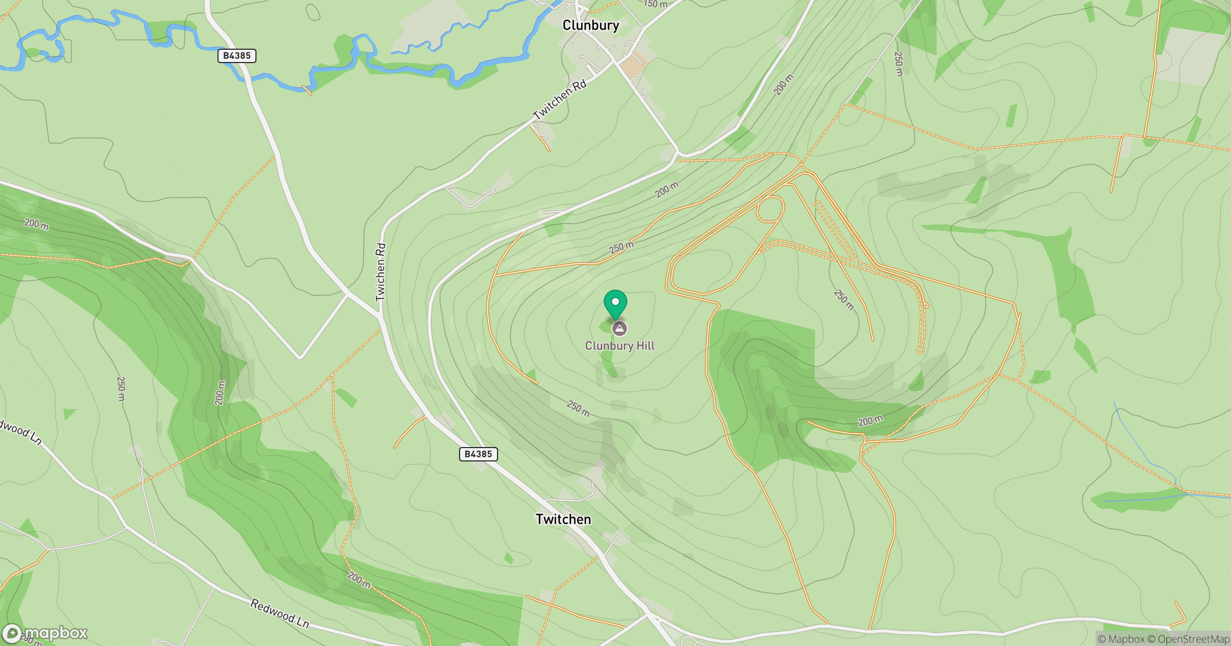
Grid reference: SO371797
View on OpenStreetMapOpens a map in a new tab, centred on the hill.
Hills within 30 km
Straight-line distance, not a walking route or confirmation of access.
Long Mynd - Pole Bank
517m
Stiperstones
537m
Titterstone Clee Hill
533m
Burrow
358m
Coxall Knoll
262m
No comments yet. Be the first.