

Wapley Hill
Good walks are even better shared.
SO3462 : Path, Wapley Hill
Richard Webb Photo source
Explore routes near Wapley Hill
Walks starting near this hill. Open a route to check its map, distance and full itinerary.
Croft Castle: Fishpool Valley and the Gothic pumphouse
View route
Berrington Hall: woodland, lake and Windmill Hill
View route
Mortimer Forest Lower Evens Circuit
View route
Ludlow Town Walls and Castle Walk
View route
Route planning notes
These notes describe possible approaches. Check a route's map and access information when planning your walk.
Wapley Hill Circular Walk
A scenic circular route starting from the village of Wapley, traversing through woodland and open fields with moderate elevation changes.
Make a day of it, together
Find someone to share the walk with, or organise a day out along a route you like.
Photo Gallery
View all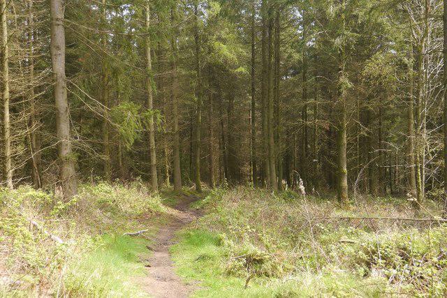 Photo could not load
SO3462 : Path, Wapley Hill
Richard Webb
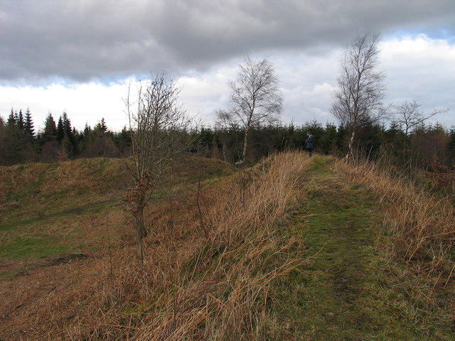 Photo could not load
SO3462 : Summit area of Wapley Hill
Trevor Littlewood
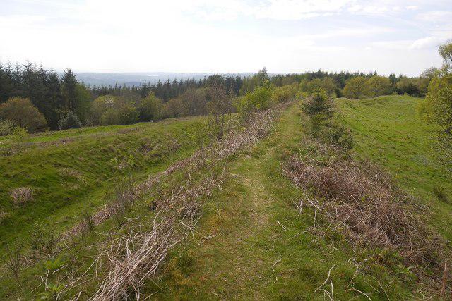 Photo could not load
SO3462 : Hill fort, Wapley Hill
Richard Webb
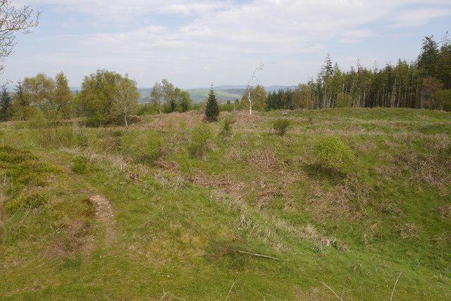 Photo could not load
SO3462 : Ramparts, Wapley Hill
Richard Webb
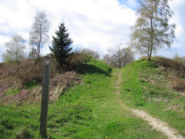 Photo could not load
SO3462 : Wapley Hill
Rude Health
Hill facts and local notes
Classifications
Elevation
333m
1,092 ft
Prominence
160m
Coordinates
52.2563, -2.9573
SO347624
OS Map
137 148 149
Explorer: 201N
At the Summit
The summit of Wapley Hill boasts a prominent trig point, often used by walkers as a great photo opportunity. The area is also dotted with a few benches perfect for admiring the views.
Terrain & Geology
Wapley Hill is composed primarily of Jurassic limestone, which has weathered to create distinct grassy slopes and rocky outcrops. The area is interspersed with patches of clay, providing a rich soil that supports a variety of botanical life.
Views & Scenery
From the summit, you can observe the rolling countryside of the Cotswolds, with the Severn Vale and various charming villages spread out below, including a glimpse of the Malvern Hills in the distance.
History & Heritage
Name Origin
The name 'Wapley' is thought to be derived from the Old English 'Wapla,' referring to a 'wallow' or a 'wet place,' reflecting its history as a low-lying area.
Historical Significance
Historically, Wapley Hill has been a site of interest for human activity since prehistoric times, and the surrounding area is rich with archaeological sites.
Getting There & Facilities
Parking
The best place to park is at the Wapley Hill Nature Reserve car park, which offers ample space for visitors, usually free of charge.
Public Transport
Buses run from nearby towns, with the closest stop being in the village of Wapley itself, a short 15-minute walk from the hill.
Nearby Facilities
While there are no facilities directly on the hill, Yate offers a range of cafes, restaurants, and public toilets.
Safety Information
Known Hazards
- Be cautious of slippery paths during wet weather and watch out for ticks in taller grass.
General Safety Tips
- Check weather conditions before setting out
- Carry appropriate clothing and equipment
- Let someone know your planned route
- Take a map, compass, and GPS device
- Carry emergency supplies: food, water, first aid kit, torch
Hills
Some common questions about the hills answered
Are there group walks up Wapley Hill?
Many walkers use Walkmates to join or organise walks with others. You can check for group walks around Wapley Hill through the maps
Are there other walkers around Wapley Hill?
Activity varies by location and time, but Walkmates lets you see whether others have shared walks or shown interest in this area. Find other people through the walking friends search walking friends for Wapley Hill search or of course create your own walk for Wapley Hill
Can I organise a walk to Wapley Hill?
Yes. If there aren’t any walks listed already, you can create a walk and make it available for others to join.
If you're signed up to Walkmates, you can create a walk to Wapley Hill.
How do I find a walk up this hill?
There are often multiple ways to walk this hill, depending on experience and route preference. Walkmates helps you explore walks and routes that others have shared.
Can I suggest a new route up Wapley Hill?
Yes. You can suggest or create routes to share with others. Walkmates focuses on the social side of walking, so routes are used to help people organise walks and explore areas together, rather than as detailed navigation tools or route libraries.
Other uses really appreciate knowledgeable walkers sharing their routes. Share your favourite route to Wapley Hill here
The is an error or something incorrect about this hill. How do I let you know?
We always strive to keep the information on Walkmates as accurate as possible. If you find an error, please let us know through the contact form and we'll aim to correct it as quickly as possible
Community Discussion
Comments
Location
View the hill's mapped position and surrounding paths.
Grid reference: SO347624
View on OpenStreetMapOpens a map in a new tab, centred on the hill.
Nearby Hills
Long Mynd - Pole Bank
517m
Stiperstones
537m
Titterstone Clee Hill
533m
Carneddau
445m

The Wrekin
407m
No comments yet. Be the first.