

Torr Alvie
Good walks are even better shared.
Overview
Torr Alvie
Torr Alvie is a charming mountain, sitting proudly at an elevation of 701 meters in the stunning Scottish Highlands. This Marilyn offers hikers a blend of enjoyable routes, scenic views, and a sprinkle of history.
Geology
Composed predominantly of granite, the rugged rock formations have withstood the test of time. Interestingly, remnants from historic quarrying can be spotted, adding a touch of human history to this natural site.
Routes
Two notable routes lead to the summit: the 'Less Grumpy Route' is a circular hike starting from the forestry track, perfect for those looking to experience the scenery without rushing through it. For the adventurous souls, the 'Up and at 'Em Route' offers a steeper challenge with immediate rewards.
Terrain and Hazards
Expect rocky paths interspersed with grassy sections and the occasional bog to negotiate—keep your boots handy! Hazards can include weather changes and uneven footing, so sensible footwear and proper gear are must-haves.
Views
The views from the summit will take your breath away! With the Cairngorms standing sentinel nearby and the possibility of glimpsing distant peaks like Ben Nevis, your camera will thank you for the workout.
Access and Facilities
Parking is available just a short walk from the best trailheads. Aviemore, the nearest town, provides a wealth of amenities – why not stock up on snacks for the trek?
History
The name 'Torr Alvie' holds local stories, blending with the lore of the land. This mountain isn’t just a hill; it's a staple of the community and one that draws in hiking enthusiasts from all walks of life.
So, lace up your hiking boots, pack a snack, and head out to enjoy all that Torr Alvie has to offer! Just remember: a great view is only a climb away!
Explore routes near Torr Alvie
Public walks starting within 80 km of this hill. Nearby does not mean a route reaches the summit; check its map and access before setting out.
Rothiemurchus: Beaver Trail and Lochan Mor
View route
Aviemore: Loch an Eilein and the Croft Track from Rothiemurchus
View route
Inverness: River Ness and Caledonian Canal circuit
View route
Glen Banvie Trail with the Bruar viewpoint
View route
Route planning notes
These notes describe possible approaches, not verified navigable routes or permission to cross land. Check current paths, local access rules and conditions before setting out.
Less Grumpy Route
A delightful loop starting from the nearby forestry track, taking in scenic views along the way.
Up and at 'Em Route
A direct ascent from the south, this route demands a bit more determination but rewards with stunning panoramas.
Make a day of it, together
Find someone to share the walk with, or organise a day out along a route you like.
Photo Gallery
View all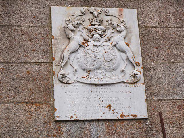 Photo could not load
NH8708 : Coat of arms, Duke of Gordon's Monument
Jim Barton
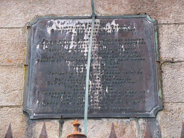 Photo could not load
NH8708 : Latin Plaque, Duke of Gordon's Monument
Jim Barton
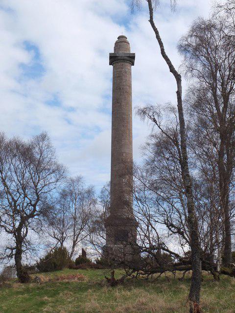 Photo could not load
NH8708 : Duke of Gordon's Monument, Alvie
Jim Barton
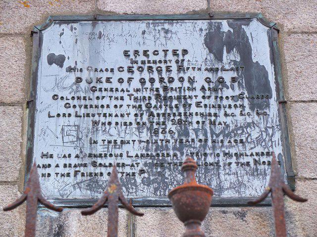 Photo could not load
NH8708 : English Plaque, Duke of Gordon's Monument
Jim Barton
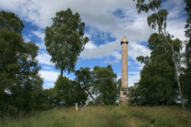 Photo could not load
NH8708 : Duke of Gordon's Monument
Mick Garratt
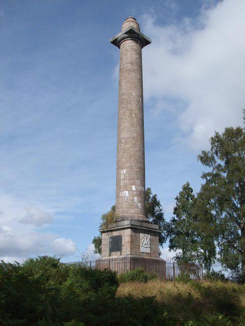 Photo could not load
NH8708 : Duke of Gordon's Monument
ronnie leask
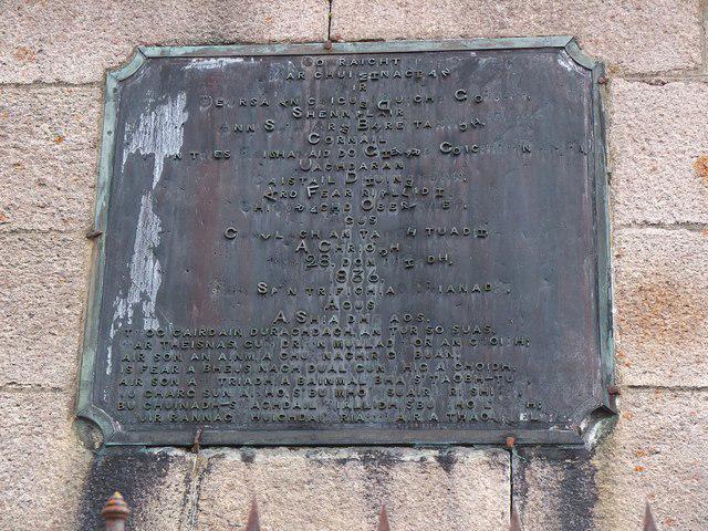 Photo could not load
NH8708 : Gaelic Plaque, Duke of Gordon's Monument
Jim Barton
Hill facts and local notes
Classifications
Elevation
358m
1,175 ft
Prominence
123m
Coordinates
57.1571, -3.8576
NH877088
OS Map
35 36
Explorer: OL57N 403N
At the Summit
At the summit, you'll find a modest cairn and a small rock outcrop that makes for a great photo opportunity. No free coffee though!
Terrain & Geology
Torr Alvie is primarily composed of granite, which is typical of the region and contributes to its rugged appearance. The quarrying activities in the past have left some significant man-made features on the mountain.
Views & Scenery
From the summit, you can appreciate splendid views of the nearby Cairngorms and the glistening Loch Alvie. On a clear day, even the distant Ben Nevis might make an appearance!
History & Heritage
Name Origin
The name 'Torr Alvie' roughly translates to 'hill of the river Alvie', referring to its proximity to the River Alvie.
Historical Significance
This mountain is of local importance and is a cherished spot for many hikers. Its accessibility and scenic beauty make it a popular choice for both locals and tourists.
Getting There & Facilities
Check current local access restrictions, parking rules and transport timetables before travelling. These notes do not confirm public access to the summit.
Parking
There is a small parking area at NH 874 073 located approximately 2 km from the starting point of most popular routes.
Public Transport
Regular buses run from Aviemore to nearby villages, but make sure to check timetables as services can be sparse.
Nearby Facilities
Aviemore offers various facilities including cafes, shops, and toilets. Perfect for a pre-hike coffee and cake to fuel that ascent!
Safety Information
Known Hazards
- Uneven terrain, potential muddy sections, and rapid weather changes typical of the Highlands can make this hike challenging. Remember to dress in layers and always carry extra supplies.
General Safety Tips
- Check weather conditions before setting out
- Carry appropriate clothing and equipment
- Let someone know your planned route
- Take a map, compass, and GPS device
- Carry emergency supplies: food, water, first aid kit, torch
Hills
Some common questions about the hills answered
Are there group walks up Torr Alvie?
Many walkers use Walkmates to join or organise walks with others. You can check for group walks around Torr Alvie through the maps
Are there other walkers around Torr Alvie?
Activity varies by location and time, but Walkmates lets you see whether others have shared walks or shown interest in this area. Find other people through the walking friends search walking friends for Torr Alvie search or of course create your own walk for Torr Alvie
Can I organise a walk to Torr Alvie?
Yes. If there aren’t any walks listed already, you can create a walk and make it available for others to join.
If you're signed up to Walkmates, you can create a walk to Torr Alvie.
How do I find a walk up this hill?
There are often multiple ways to walk this hill, depending on experience and route preference. Walkmates helps you explore walks and routes that others have shared.
Can I suggest a new route up Torr Alvie?
Yes. You can suggest or create routes to share with others. Walkmates focuses on the social side of walking, so routes are used to help people organise walks and explore areas together, rather than as detailed navigation tools or route libraries.
Other uses really appreciate knowledgeable walkers sharing their routes. Share your favourite route to Torr Alvie here
The is an error or something incorrect about this hill. How do I let you know?
We always strive to keep the information on Walkmates as accurate as possible. If you find an error, please let us know through the contact form and we'll aim to correct it as quickly as possible
Community Discussion
Comments
Location
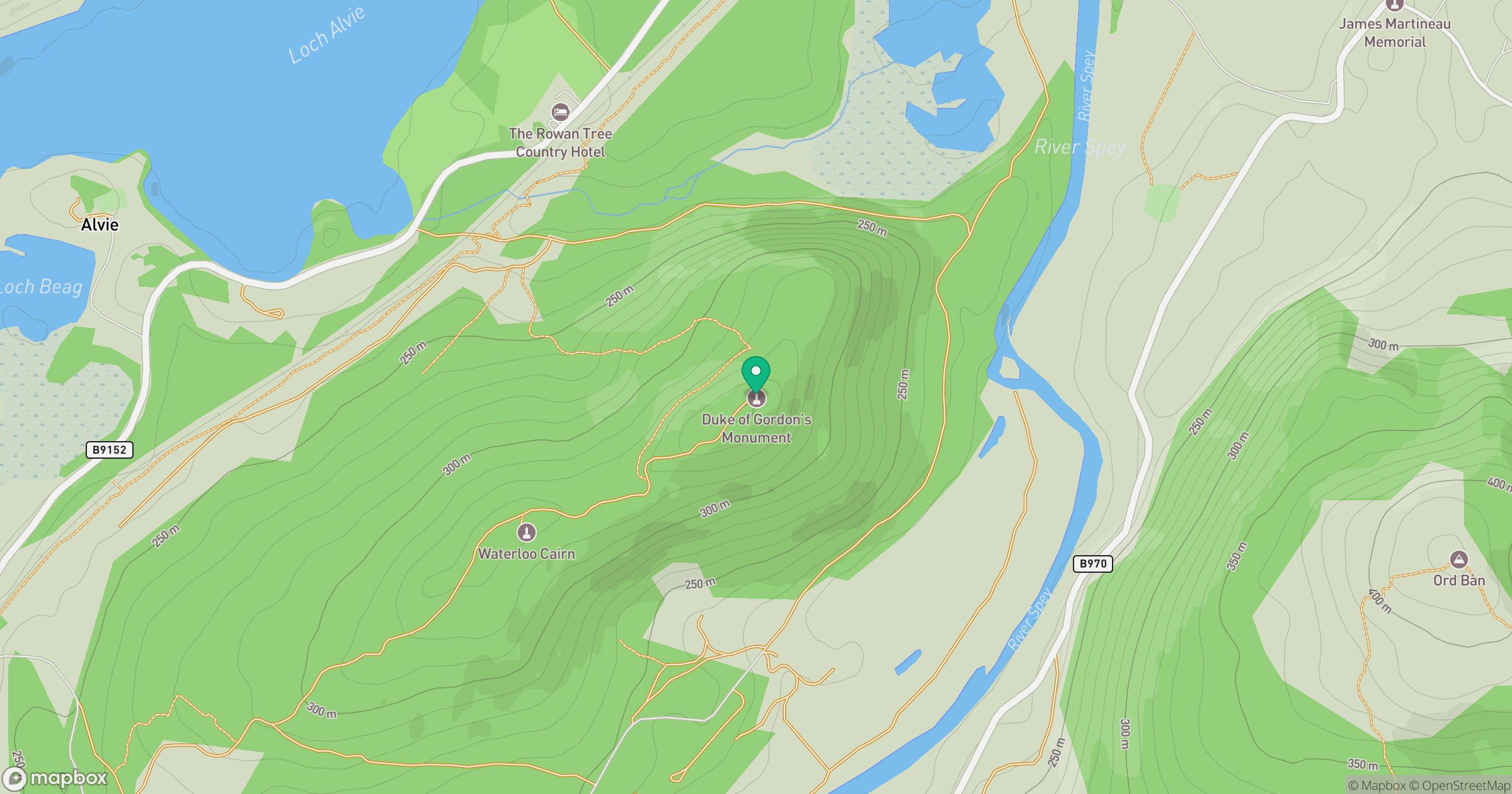
Grid reference: NH877088
View on OpenStreetMapOpens a map in a new tab, centred on the hill.
Hills within 30 km
Straight-line distance, not a walking route or confirmation of access.
Sgor Gaoith
1,116m
Braeriach
1,296m
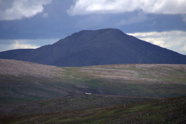
Cairn Toul
1,292m
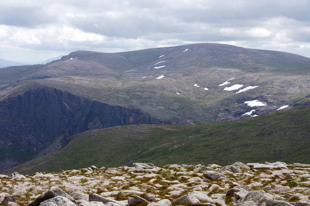
Ben Macdui [Beinn Macduibh]
1,309m
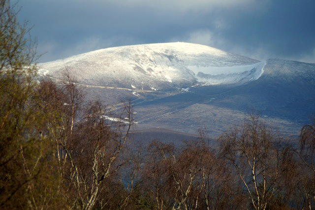
Cairn Gorm
1,245m
No comments yet. Be the first.