

The Knott (Stainton Fell)
Good walks are even better shared.
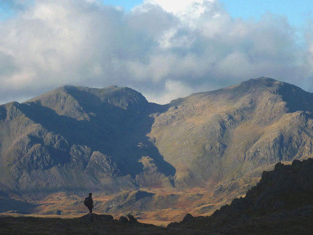
SD1495 : The Knott
Michael Graham Photo source
Overview
The Knott (Stainton Fell)
Nestled in the beautiful Lake District, The Knott (Stainton Fell) offers hikers a delightful escape with stunning views and a pleasant hiking experience. Towering at 284 meters, it may not be the largest peak, but it packs a punch when it comes to scenic vistas.
Geology
The Knott is primarily comprised of slate and other sedimentary formations, characteristic of the Lake District's ancient geological processes. This rocky underbelly provides a unique backdrop for your adventure, where you might just feel like a geological explorer.
Routes
One of the most popular routes to the summit begins in the picturesque village of Stainton. The circular route covers approximately 5.5 km and typically takes around 2.5 hours to complete at a moderate pace. This route ensures a gradual ascent, allowing you to take in the surrounding beauty without breaking a sweat.
Summit Features
Upon reaching the summit, hikers are greeted by a grassy plateau, adorned with a small stone cairn. It’s the perfect spot to rest and soak in the sweeping views – just don’t forget to take a selfie with the cairn. You may be compelled to prove you visited!
Terrain Type
The terrain is primarily grassy with some rocky outcrops and the occasional boggy section that can be a bit tricky after a rain. Make sure to wear sturdy shoes to avoid any missteps that could send you belly-flopping into a bog!
Views
The views from The Knott are nothing short of delightful. Hikers can marvel at the rugged Helvellyn range to the south and bask in the beauty of the southern Lake District fells. Autumn and late spring are particularly enchanting, though any clear day promises a treat for the eyes.
Hazards
While The Knott is an accessible hike, it’s important to remain cautious of wet and slippery conditions, especially after rain. Stay alert for boggy patches that might challenge even the most experienced walker.
Nearby Summits
For those looking to extend their adventure, nearby summits like Clough Head and Great Dodd are well worth a visit. Each offers its unique charm and additional breathtaking vistas.
Access
Getting to The Knott is relatively straightforward. There’s parking available in Stainton; just be considerate to locals and their driveways. If public transport is more your style, you can catch the 508 bus from Penrith right into the heart of the village.
Facilities
While The Knott itself is devoid of any facilities, Stainton boasts a few friendly local pubs and shops where you can replenish your energy and share tales of your adventure.
History
The name 'The Knott' has roots in Old Norse, referencing the hilly terrain. The area is steeped in history, reflecting thousands of years of human settlement and agricultural practices, making each step a journey through time.
Plan your visit to The Knott (Stainton Fell) and immerse yourself in the breathtaking beauty of the Lake District. Remember to pack your camera, as the vistas are sure to leave you speechless – until you start to chat with fellow hikers, that is!
Explore routes near The Knott (Stainton Fell)
Walks starting near this hill. Open a route to check its map, distance and full itinerary.
Scafell Pike via Brown Tongue and Hollow Stones
View route
Great Carrs Halifax Wreckage from Wrynose Pass
View route
Coniston to Tarn Hows: Monk Coniston Gardens and Woodland Circuit
View route
Bow Fell from Langdale
View route
Route planning notes
These notes describe possible approaches. Check a route's map and access information when planning your walk.
Stainton to The Knott Circuit
A circular route starting and finishing in the village of Stainton, offering a gradual ascent and stunning views.
Make a day of it, together
Find someone to share the walk with, or organise a day out along a route you like.
Photo Gallery
View all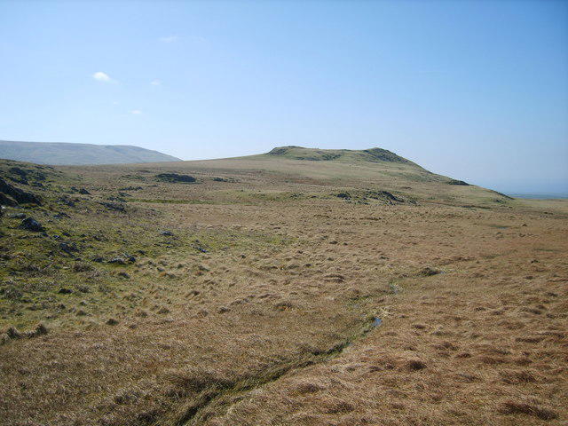 Photo could not load
SD1495 : The Knott
Michael Graham
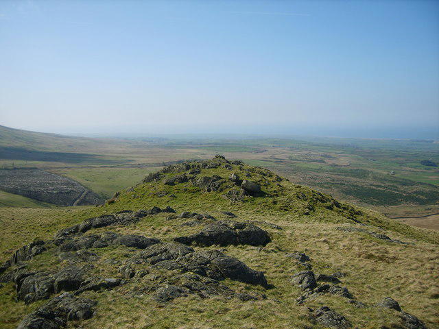 Photo could not load
SD1495 : On The Knott
Michael Graham
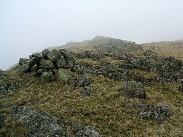 Photo could not load
SD1495 : Cairns in the mist on The Knott
David Brown
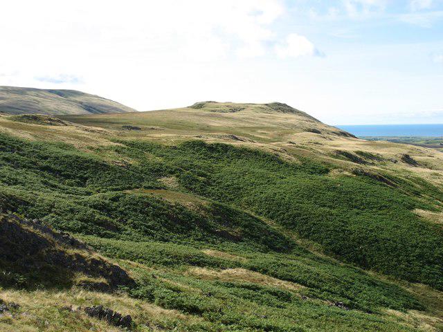 Photo could not load
SD1495 : The Knott
David Purchase
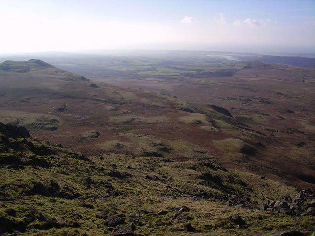 Photo could not load
SD1495 : The Knott
Michael Graham
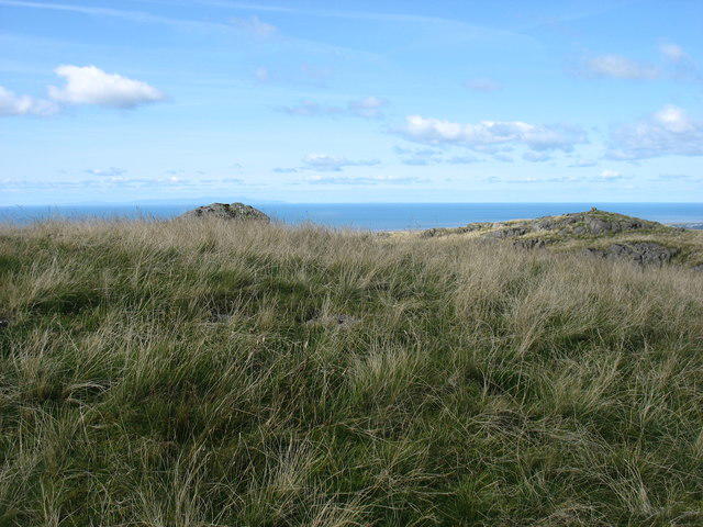 Photo could not load
SD1495 : The summit of The Knott
David Purchase
Hill facts and local notes
Classifications
Elevation
331m
1,086 ft
Prominence
17m
Coordinates
54.3447, -3.3188
SD143951
OS Map
96
Explorer: OL6N
At the Summit
The summit is marked by a grassy plateau with a small stone cairn, offering perfect photo opportunities and a spot to catch your breath.
Terrain & Geology
The Knott is primarily composed of slate and other sedimentary rocks, typical of the Lake District's geological framework, resulting in a rugged and dramatic landscape.
Views & Scenery
From the summit, you'll be treated to views of the Helvellyn range, the southern Lake District fells, and, on clear days, the distant Yorkshire Dales.
History & Heritage
Name Origin
The name 'The Knott' suggests a small hill or mound, derived from the Old Norse word 'knottr'.
Historical Significance
The area has a long history of human habitation, with evidence of ancient farming and settlements dating back thousands of years.
Getting There & Facilities
Parking
Stainton village has limited parking available on the road; please respect residents' driveways.
Public Transport
The nearest bus stop is in Stainton, serviced by the 508 bus from Penrith.
Nearby Facilities
There are no facilities near The Knott, but Stainton has a few local pubs and small shops for refreshments.
Safety Information
Known Hazards
- Be wary of slippery, boggy patches after rainfall. Wet stones can be a tripping hazard during descent.
General Safety Tips
- Check weather conditions before setting out
- Carry appropriate clothing and equipment
- Let someone know your planned route
- Take a map, compass, and GPS device
- Carry emergency supplies: food, water, first aid kit, torch
Hills
Some common questions about the hills answered
Are there group walks up The Knott (Stainton Fell)?
Many walkers use Walkmates to join or organise walks with others. You can check for group walks around The Knott (Stainton Fell) through the maps
Are there other walkers around The Knott (Stainton Fell)?
Activity varies by location and time, but Walkmates lets you see whether others have shared walks or shown interest in this area. Find other people through the walking friends search walking friends for The Knott (Stainton Fell) search or of course create your own walk for The Knott (Stainton Fell)
Can I organise a walk to The Knott (Stainton Fell)?
Yes. If there aren’t any walks listed already, you can create a walk and make it available for others to join.
If you're signed up to Walkmates, you can create a walk to The Knott (Stainton Fell).
How do I find a walk up this hill?
There are often multiple ways to walk this hill, depending on experience and route preference. Walkmates helps you explore walks and routes that others have shared.
Can I suggest a new route up The Knott (Stainton Fell)?
Yes. You can suggest or create routes to share with others. Walkmates focuses on the social side of walking, so routes are used to help people organise walks and explore areas together, rather than as detailed navigation tools or route libraries.
Other uses really appreciate knowledgeable walkers sharing their routes. Share your favourite route to The Knott (Stainton Fell) here
The is an error or something incorrect about this hill. How do I let you know?
We always strive to keep the information on Walkmates as accurate as possible. If you find an error, please let us know through the contact form and we'll aim to correct it as quickly as possible
Community Discussion
Comments
Location
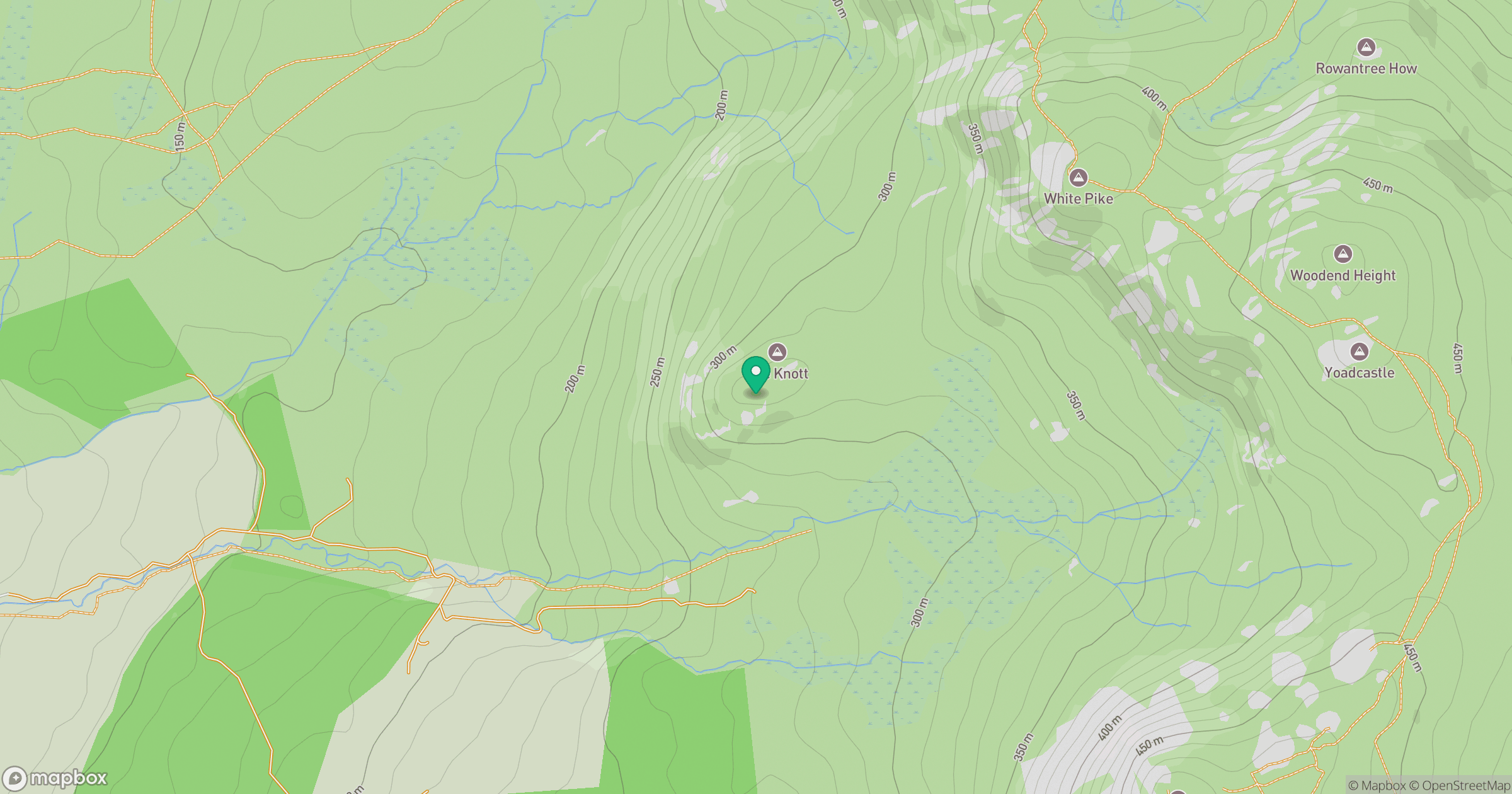
Grid reference: SD143951
View on OpenStreetMapOpens a map in a new tab, centred on the hill.
No comments yet. Be the first.