

The Bin
Good walks are even better shared.
Overview
The Bin
Introduction
The Bin, a prominent Marilyn in the Berwyn Range, beckons hikers with its moderate challenge and breathtaking views. While it may not be the tallest peak, its significance lies in the surrounding majesty that impresses even the most seasoned walkers.
Geology
This hill is a splendid homage to the geological marvels of the Jurassic period, constructed predominantly from mudstone and sandstone. The exposed cliff faces showcase layers that tell tale upon tale of Earth's history—definitely more riveting than your last history lesson!
Route Information
The Foel Goch Route is the most popular. Starting from the A494, this route covers roughly 4.5 km with an ascent that will get your heart pumping and your legs working. Expect to spend a good 2.5 hours enjoying the climb, so lace up those boots and prepare for a rewarding trek.
Summit Features
At the pinnacle, you’ll be greeted by a classic stone cairn and a trig point—perfect for a cheeky selfie as evidence you’ve conquered The Bin!
Terrain
Expect a diverse terrain with grassy slopes, rocky outcrops, and those pesky boggy sections near the base that might challenge your balance. Waterproof boots are highly recommended, especially if you fancy keeping your socks dry.
Views
From the summit, soak in panoramic views of the Berwyn mountains and the picturesque Llangollen valley below. On a clear day, you might even spot the majestic peaks of Snowdonia. Autumn’s fiery foliage or spring’s verdant hues make for particularly stunning visuals—so pick your season wisely!
Hazards
Whilst hiking The Bin can be a treat, do keep an eye on changing weather and muddy paths, particularly in the wet months. Caution is the name of the game; after all, no one intends to take an unexpected dip in a bog!
Nearby Summits
Don't miss out on exploring neighboring giants like Cadair Berwyn and Moel Sych. They make for excellent companions on your hiking adventure.
Access
To access The Bin, park in a small lay-by on the A494, but be quick—spots fill up faster than a crowded pub on a Friday night! Public transport options are limited to bus services through Llangollen, but that adds to the charm of your adventure.
Facilities
Llangollen offers various cafes and pubs where you can refuel after your hike, but beware—after a day of conquering peaks, those cakes may seem bigger than life!
History
The name 'Bin,' from the Welsh 'bwn', is an apt description; while not the mightiest hill, it stands proud nonetheless. Climbers will appreciate its cultural significance, being a beloved local landmark.
Conclusion
In summary, The Bin is a delightful choice for both novice and seasoned hikers, offering fresh air, magnificent views, and a hint of Welsh charm. Happy Hiking!
Explore routes near The Bin
Public walks starting within 80 km of this hill. Nearby does not mean a route reaches the summit; check its map and access before setting out.
Craigellachie to Aberlour: Speyside Railway Path Return
View route
Speyside Way: Buckie to Fochabers via Spey Bay
View route
Aberlour to Carron Bridge: Speyside Way riverside return
View route
Pitfichie: Cairn William Trail
View route
Route planning notes
These notes describe possible approaches, not verified navigable routes or permission to cross land. Check current paths, local access rules and conditions before setting out.
Foel Goch Route
A moderately steep ascent from the north-west, offering a challenging climb with rewarding views of the surrounding mountains.
Make a day of it, together
Find someone to share the walk with, or organise a day out along a route you like.
Photo Gallery
View all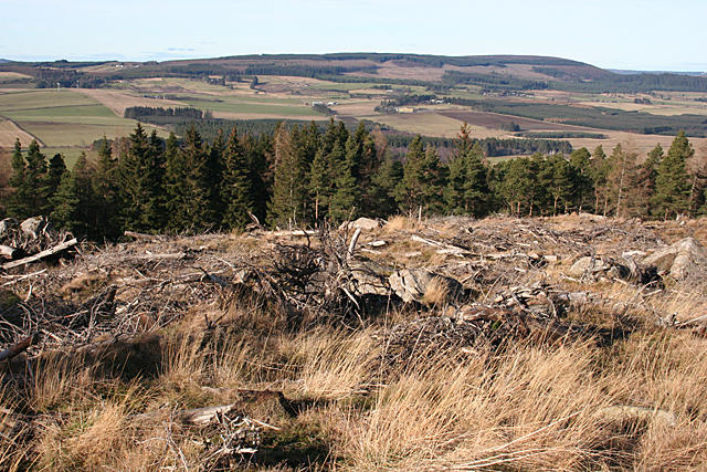 Photo could not load
NJ5043 : Clear-felled Forest
Anne Burgess
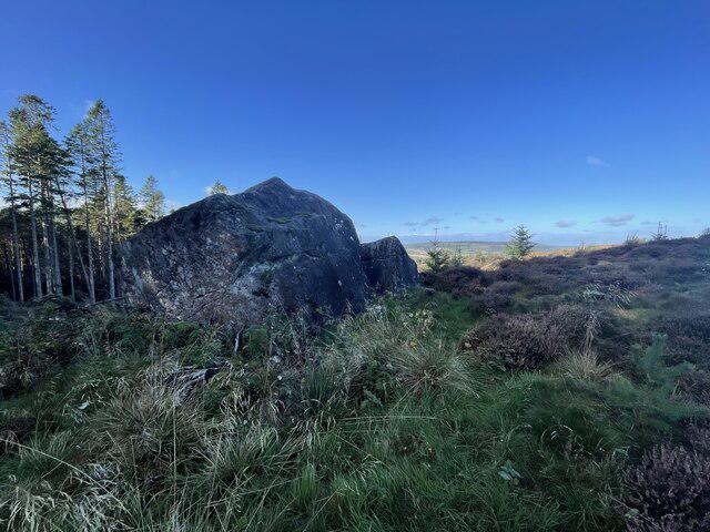 Photo could not load
NJ5043 : Large glacial erratic
Ralph Greig
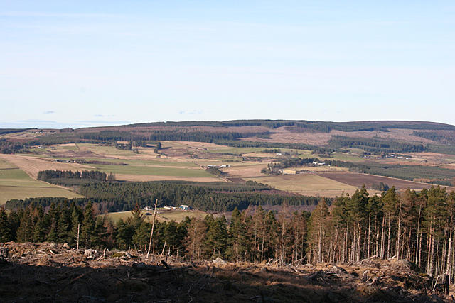 Photo could not load
NJ5043 : Almost the Summit View
Anne Burgess
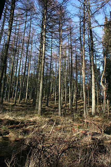 Photo could not load
NJ5043 : Larch Trees
Anne Burgess
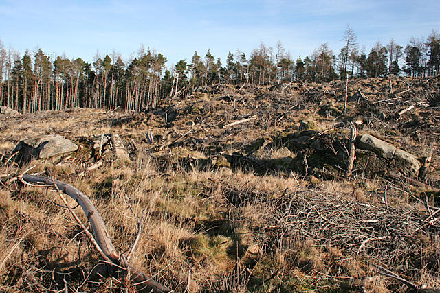 Photo could not load
NJ5043 : Former Forest
Anne Burgess
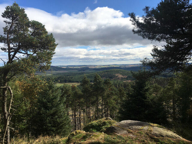 Photo could not load
NJ5043 : The Summit of the Bin
Ralph Greig
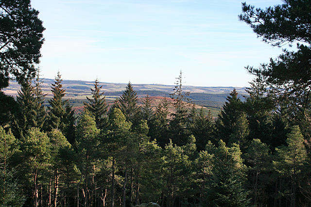 Photo could not load
NJ5043 : View from the Summit
Anne Burgess
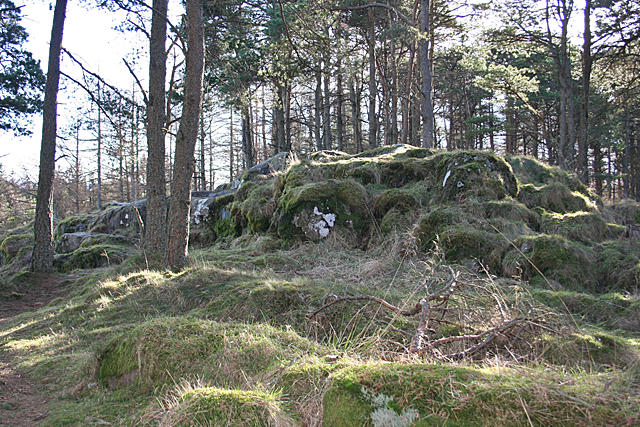 Photo could not load
NJ5043 : The Summit
Anne Burgess
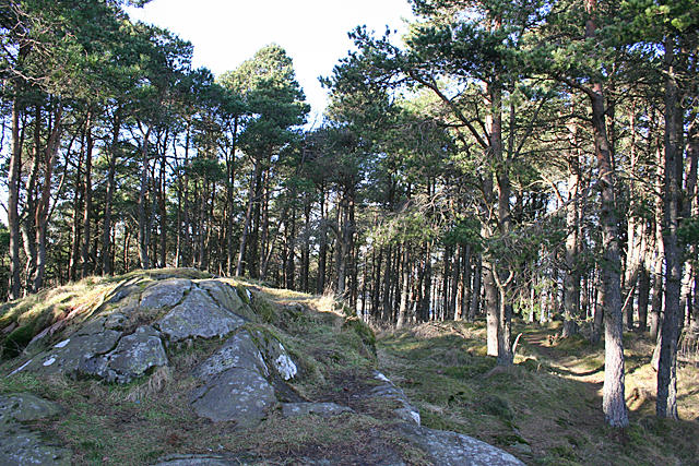 Photo could not load
NJ5043 : The Summit
Anne Burgess
Hill facts and local notes
Classifications
Elevation
312m
1,024 ft
Prominence
128m
Coordinates
57.4820, -2.8300
NJ503438
OS Map
29
Explorer: 425S
At the Summit
The summit features a large stone cairn and panoramic views, with a trig point marking the highest point.
Terrain & Geology
The Bin is composed mainly of sedimentary rock, specifically mudstone and sandstone, formed during the Jurassic period. The rugged terrain offers glimpses of ancient earth formations.
Views & Scenery
Views of the Berwyn mountains and the Llangollen valley, with the Snowdonia range visible on clear days.
History & Heritage
Name Origin
The name 'Bin' is derived from the Welsh word 'bwn' meaning mound or hill, reflecting its stature in the landscape.
Historical Significance
The Bin has historical significance as part of the ancient landscape and is a popular location for local hiking groups.
Getting There & Facilities
Check current local access restrictions, parking rules and transport timetables before travelling. These notes do not confirm public access to the summit.
Parking
There is a small lay-by for parking along the A494 road near the trailhead, accommodating a limited number of vehicles.
Public Transport
The nearest bus service operates between Llangollen and Corwen, with stops along the A5, a short walk from the trailhead.
Nearby Facilities
In Llangollen, you'll find plenty of cafes, pubs, and public toilets to refresh yourself before or after your hike.
Safety Information
Known Hazards
- Watch out for sudden weather changes and slippery paths, especially after rain. The rocky terrain can be challenging for less experienced hikers.
General Safety Tips
- Check weather conditions before setting out
- Carry appropriate clothing and equipment
- Let someone know your planned route
- Take a map, compass, and GPS device
- Carry emergency supplies: food, water, first aid kit, torch
Hills
Some common questions about the hills answered
Are there group walks up The Bin?
Many walkers use Walkmates to join or organise walks with others. You can check for group walks around The Bin through the maps
Are there other walkers around The Bin?
Activity varies by location and time, but Walkmates lets you see whether others have shared walks or shown interest in this area. Find other people through the walking friends search walking friends for The Bin search or of course create your own walk for The Bin
Can I organise a walk to The Bin?
Yes. If there aren’t any walks listed already, you can create a walk and make it available for others to join.
If you're signed up to Walkmates, you can create a walk to The Bin.
How do I find a walk up this hill?
There are often multiple ways to walk this hill, depending on experience and route preference. Walkmates helps you explore walks and routes that others have shared.
Can I suggest a new route up The Bin?
Yes. You can suggest or create routes to share with others. Walkmates focuses on the social side of walking, so routes are used to help people organise walks and explore areas together, rather than as detailed navigation tools or route libraries.
Other uses really appreciate knowledgeable walkers sharing their routes. Share your favourite route to The Bin here
The is an error or something incorrect about this hill. How do I let you know?
We always strive to keep the information on Walkmates as accurate as possible. If you find an error, please let us know through the contact form and we'll aim to correct it as quickly as possible
Community Discussion
Comments
Location
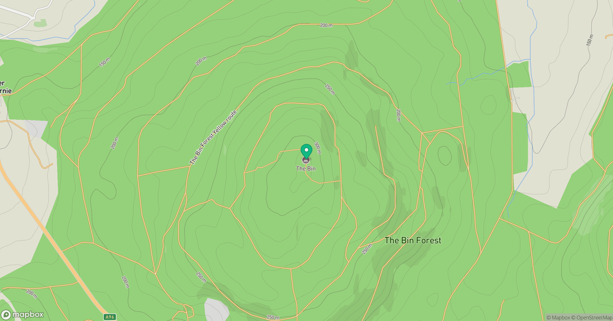
Grid reference: NJ503438
View on OpenStreetMapOpens a map in a new tab, centred on the hill.
Hills within 30 km
Straight-line distance, not a walking route or confirmation of access.
Bennachie - Oxen Craig
529m
Meikle Balloch Hill
366m
Fourman Hill
344m
Lurg Hill
312m
Tap o' Noth
563m
No comments yet. Be the first.