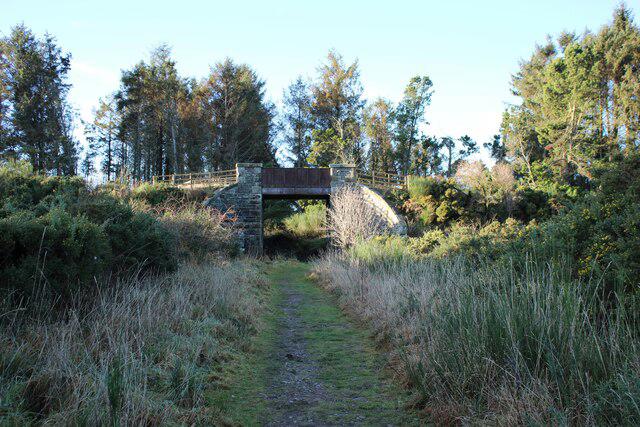
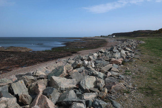
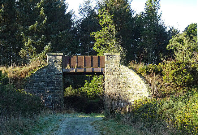
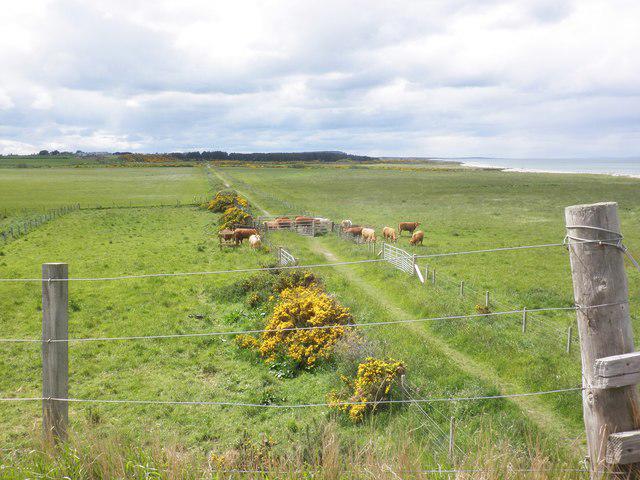
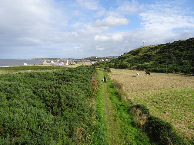
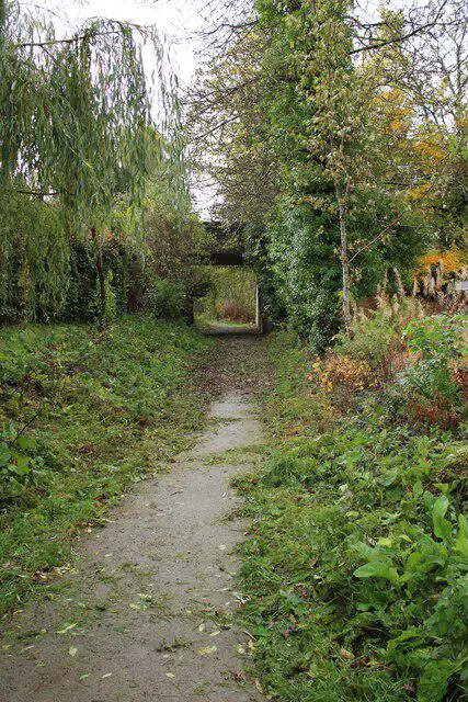
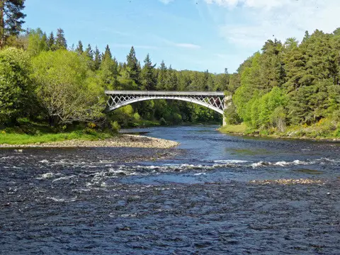
Follow the Speyside Way from the coastal town of Buckie to Fochabers, passing Portgordon, old railway ground and woodland before reaching Spey Bay. The second half turns inland beside the Spey, with a mixture of riverside views and sheltered woodland. This 17.7 km linear walk finishes in Fochabers Square after the memorial garden and burn-side path. The terrain is mostly gentle, but distance, mud, narrow paths and road crossings make it a substantial outing. Allow 4½–5½ hours plus breaks. Take waterproofs, food, water and a map, and arrange the return journey before setting off. Stay on the signed route: the closed Spey Viaduct and the tidal shore are not part of this walk.
Start and finish
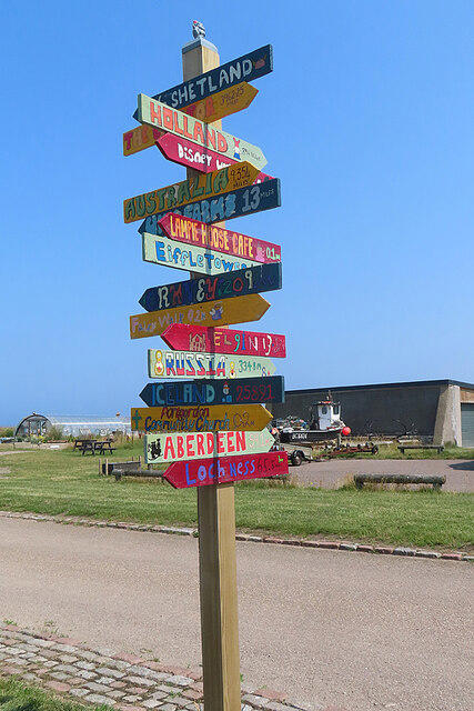
Start by the Speyside Way stones at the north-west edge of Cluny Square, 57.6767161, -2.9661351. Assemble on the pedestrian side, clear of parking bays. The approach from parking is separate from the plotted route.
Finish beside The Square / High Street bus-stop corridor in Fochabers at 57.6141463,-3.0971693. The map line marks the road corridor; finish on the adjacent pavement, not the carriageway. Final approach follows the burn footpath, George Street and square roads; no station or platform access added.
Travel and parking
Cluny Square, AB56 1AH. The start is beside the Speyside Way stone marker at the north-west edge of the square, a short pedestrian approach from the parking bays.
Council currently lists Cluny Square as free parking. Check current signs, time restrictions and event conditions.
Check permitted stay length and any access restrictions on arrival.
Arrange a date-specific bus or taxi/lift from Fochabers to Buckie before departure. Check Stagecoach service 35 in the journey planner, correct stop/direction, last service and disruption information.
Terrain and access
Road-centreline coordinates in towns and beside the A990 represent the walking corridor, not an instruction to walk in traffic. Use pavements and the signed crossings. Stay on the A990 and bridge pavements rather than taking a shortcut in the carriageway.
The route includes short minor-road sections, uneven woodland and former railway surfaces, gates and narrow paths. This route has not been assessed for wheelchair access; uneven ground, gates and narrow paths may present substantial barriers. Allow extra time where ground is wet or slippery.
Keep back from exposed harbour and river edges. Riverbank paths can flood or erode; do not walk through floodwater or around closed barriers. Follow current signed diversions or turn back if the route is unsafe.
The Spey Viaduct to Garmouth is closed due to structural damage. Do not cross it. The official council notice explicitly states that the Speyside Way is unaffected; this route stays on the east side of the river.
Do not substitute beach routes or ford the Tynet Burn. The selected route uses the established inland and bridge corridor, not a tide-dependent shortcut.
Plan for exposed coastal wind and changeable Scottish weather. Carry reliable waterproofs and a backup map; check sunset and start early in the short-day season, with a headtorch as a reserve.
Share narrow paths considerately with other users. Keep dogs under close control, use a short lead around livestock and wildlife, close gates and remove litter.
No current stage closure was identified in the official route-news index on 23 October 2026. This is not a field inspection or a guarantee against new storm damage, works or local notices.
Before you go
Check current route notices, weather and local signs before travelling. This route has not been field-inspected by Walkmates; path surfaces, access and facilities can change. Exact ascent is not verified for this plotted line.
Route information
https://www.speysideway.co.uk/route/section-1/
Map data: © OpenStreetMap contributors, licensed under the Open Database Licence (ODbL). https://www.openstreetmap.org/copyright