

Swarth Fell (Ullswater)
Good walks are even better shared.
NY4519 : Path to Bonscale Pike
Graham Robson Photo source
Overview
Swarth Fell (Ullswater)
Welcome to Swarth Fell, a glorious Highlander among the daunting peaks of the Lake District! Standing at 803 meters, it's not the tallest, but don’t let that fool you; this mountain possesses plenty of charm and stunning vistas.
Geology
Swarth Fell is primarily made of Skiddaw Slate, a sedimentary rock formed from ancient ocean sediments. The rugged beauty of the area is also due to the relentless work of glaciers that shaped its landscape, carving out the dramatic scenery surrounding the mountain.
Routes
Two main routes lead you up Swarth Fell, both starting from different points:
- Ullswater to Swarth Fell: A moderate circular walk of approximately 12.5 km. This route takes about 4.5 hours and offers superb views of the lake.
- Hartsop Circular Walk: This is a bit more challenging, covering about 14 km in around 5 hours. The views are quite rewarding and make the effort worthwhile!
Summit Features
At the top, you will find a modest cairn which serves as the marker for the summit. This spot is your ticket to breathtaking 360-degree views of the Lake District.
Terrain Type
Expect rugged, grassy slopes leading to rocky outcrops. The ascent can be steep in places, but nothing a moderately fit hiker can't handle!
Recommended Viewing Times
The views from Swarth Fell are most astonishing during late spring or early autumn, when the colours and visibility are at their peak.
Hazards
Watch your step! Wet conditions can make the paths slippery, and some steep drops along the trail can catch you off guard. Always be prepared for changing weather conditions.
Nearby Summits
If you fancy extending your adventure, nearby peaks like Hartsop Dodd (789 m) and St Sunday Crag (841 m) are beckoning!
Access
Nearest parking is available at Patterdale. If you prefer using public transport, Stagecoach buses service this charming village, which is also the nearest town and is equipped with cafés and a pub to replenish your strength.
History
The name 'Swarth' originates from the Old Norse term meaning 'swarthy' or 'dark.' It accurately describes the striking slate rocks that adorn the area. This mountain has become a cherished destination for hikers, contributing significantly to the community's outdoor culture.
In conclusion, Swarth Fell offers a marvellous opportunity for adventure seekers, providing an inviting challenge and phenomenal views. Lace up your boots, don your rucksack, and get ready for a hike that might just steal your heart!
Explore routes near Swarth Fell (Ullswater)
Walks starting near this hill. Open a route to check its map, distance and full itinerary.
Striding Edge, Helvellyn and Catstye Cam
View route
Helvellyn via Striding Edge
View route
Bannerdale Crags from Mungrisdale Wainwright
View route
Mungrisdale Common and Bowscale Fell from Mosedale Valley Wainwright
View route
Route planning notes
These notes describe possible approaches. Check a route's map and access information when planning your walk.
Ullswater to Swarth Fell
A popular circular walk starting from the shores of Ullswater, offering panoramic views throughout.
Hartsop Circular Walk
This slightly longer route starts in Hartsop and can include a mix of delightful lakeside and hilltop views.
Make a day of it, together
Find someone to share the walk with, or organise a day out along a route you like.
Photo Gallery
View all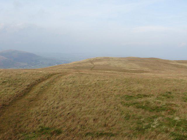 Photo could not load
NY4519 : Path to Bonscale Pike
Graham Robson
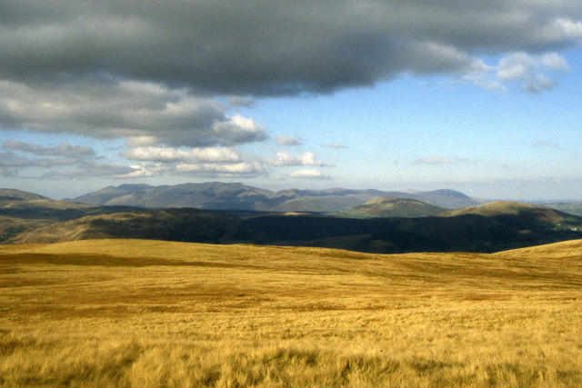 Photo could not load
NY4519 : Moorland north of Loadpot Hill
Colin Park
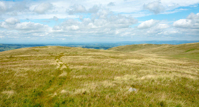 Photo could not load
NY4519 : Thin path heading for Swarth Fell
Trevor Littlewood
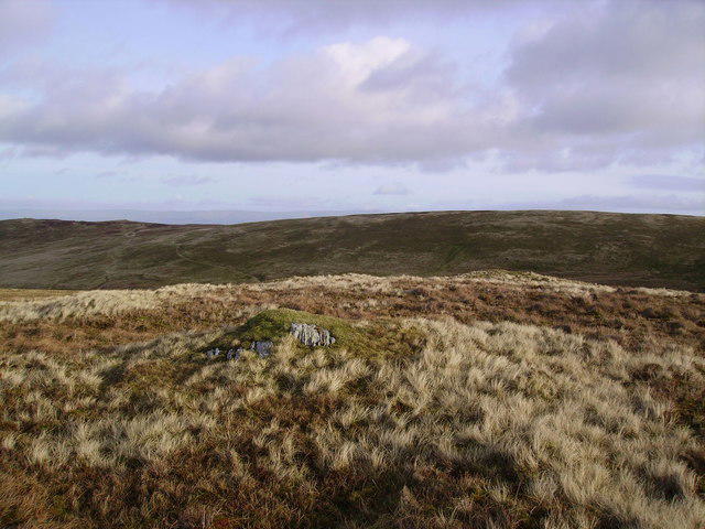 Photo could not load
NY4519 : Swarth Fell
Michael Graham
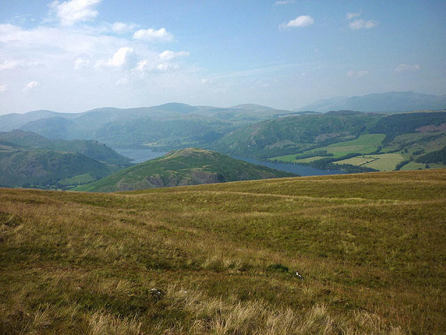 Photo could not load
NY4519 : Moorland above Howtown
Karl and Ali
Hill facts and local notes
Classifications
Elevation
545m
1,788 ft
Prominence
5m
Coordinates
54.5682, -2.8459
NY454195
OS Map
90
Explorer: OL5S
At the Summit
The summit features a modest cairn and provides stunning 360-degree views of the surrounding mountains and Ullswater.
Terrain & Geology
Swarth Fell is primarily composed of Skiddaw Slate, a sedimentary rock that formed from ancient ocean sediments. The surrounding scenery is also shaped by glacial erosion, giving the area its distinctive U-shaped valleys and rugged terrain.
Views & Scenery
From the summit, you can see the picturesque Ullswater lake, the surrounding peaks such as Helvellyn and the distant fells of the Northern Lake District.
History & Heritage
Name Origin
The name 'Swarth' comes from the Old Norse meaning 'swarthy' or 'dark', possibly referring to the darker colours of the slate rocks.
Historical Significance
Swarth Fell has been a favourite among hikers for its relatively easy accessibility and breathtaking views, making it integral to local outdoor culture.
Getting There & Facilities
Parking
There is a car park at Patterdale, which is about 5 km from the start of most trails leading to Swarth Fell.
Public Transport
Stagecoach provides bus services to Patterdale from Penrith and Windermere.
Nearby Facilities
There are basic amenities in Patterdale, including a café, pub, and public toilets.
Safety Information
Known Hazards
- Unsuitable paths in wet conditions can become slippery. Be cautious of steep drops and changing weather conditions.
General Safety Tips
- Check weather conditions before setting out
- Carry appropriate clothing and equipment
- Let someone know your planned route
- Take a map, compass, and GPS device
- Carry emergency supplies: food, water, first aid kit, torch
Hills
Some common questions about the hills answered
Are there group walks up Swarth Fell (Ullswater)?
Many walkers use Walkmates to join or organise walks with others. You can check for group walks around Swarth Fell (Ullswater) through the maps
Are there other walkers around Swarth Fell (Ullswater)?
Activity varies by location and time, but Walkmates lets you see whether others have shared walks or shown interest in this area. Find other people through the walking friends search walking friends for Swarth Fell (Ullswater) search or of course create your own walk for Swarth Fell (Ullswater)
Can I organise a walk to Swarth Fell (Ullswater)?
Yes. If there aren’t any walks listed already, you can create a walk and make it available for others to join.
If you're signed up to Walkmates, you can create a walk to Swarth Fell (Ullswater).
How do I find a walk up this hill?
There are often multiple ways to walk this hill, depending on experience and route preference. Walkmates helps you explore walks and routes that others have shared.
Can I suggest a new route up Swarth Fell (Ullswater)?
Yes. You can suggest or create routes to share with others. Walkmates focuses on the social side of walking, so routes are used to help people organise walks and explore areas together, rather than as detailed navigation tools or route libraries.
Other uses really appreciate knowledgeable walkers sharing their routes. Share your favourite route to Swarth Fell (Ullswater) here
The is an error or something incorrect about this hill. How do I let you know?
We always strive to keep the information on Walkmates as accurate as possible. If you find an error, please let us know through the contact form and we'll aim to correct it as quickly as possible
Community Discussion
Comments
Location
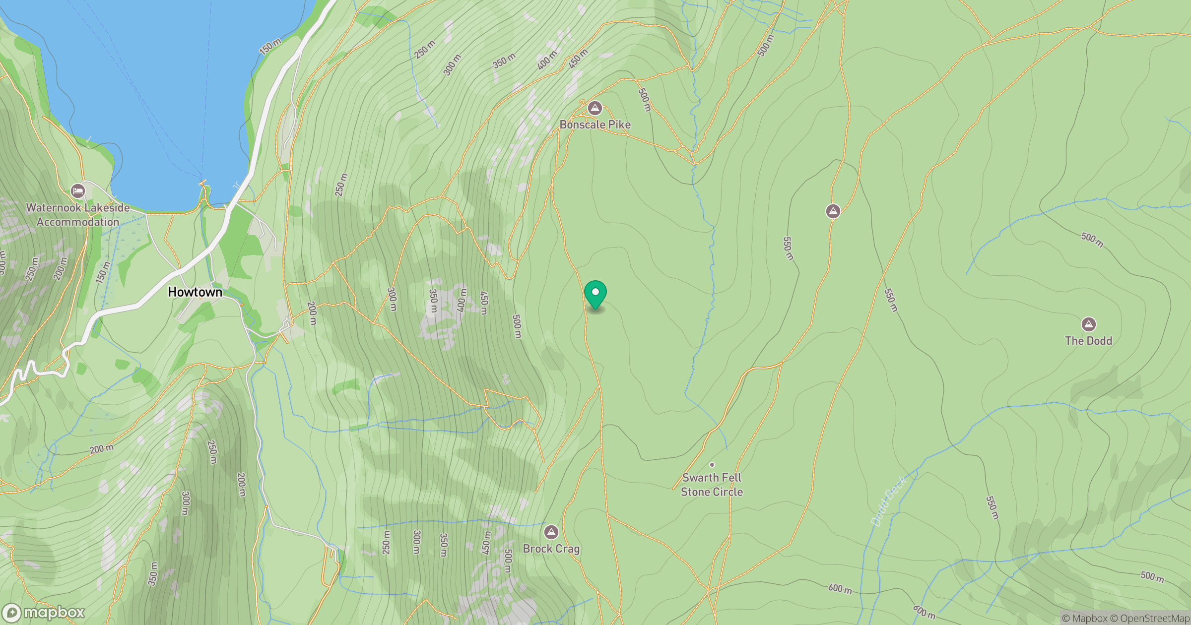
Grid reference: NY454195
View on OpenStreetMapOpens a map in a new tab, centred on the hill.

No comments yet. Be the first.