

Staple Edge Hill
Good walks are even better shared.
SO6410 : Heading North from Staple-edge Bungalows
Pauline E Photo source
Overview
Staple Edge Hill
Welcome to Staple Edge Hill, a little gem in the Shropshire Hills that beckons hikers with its inviting trails and splendid vistas! Standing at a respectable 401 meters, it might not be the highest hill in England, but it packs a punch with its scenic views and charming surroundings.
Geology
The backbone of Staple Edge Hill is made up of sandstone, shaped by the forces of nature over millions of years. Fans of geology will enjoy exploring the interesting rock formations and may even spy some fossils for a bonus find!
Routes
The Staple Edge Circuit
- Distance: 6.5 km
- Time: Approximately 2.5 hours
- Difficulty: Moderate
This route is perfect for a pleasant afternoon stroll or a brisk walk. Starting from the A49, you’ll wind your way through picturesque pastures and light woodlands that frame the path beautifully.
Summit Features
Reaching the summit, you'll be greeted by a sturdy stone cairn and a trig point that’s seen more selfies than a celebrity on opening night. It’s a great spot to catch your breath and take in the sweeping views!
Terrain Type
Expect a mix of grassy paths with occasional rocky outcrops that give you a little extra challenge—and bragging rights to those who fancy themselves as expert navigators.
Views
From the summit, the panorama unfolds in every direction. Look out for the majestic Long Mynd and the iconic Wrekin to the east. In the right weather, you might even spot the distant peaks of Wales! The best times to revel in these views are the spring and autumn months.
Hazards
While the paths are generally good, a little caution goes a long way. After rainfall, those stones can become a bit like a greased pig! And do keep an eye out for those local sheep; they think they own the place.
Nearby Summits
For those with a bit more energy, nearby Clee Hill and Ragleth Hill offer additional routes to explore.
Access
Nearest Parking: A small lay-by on the A49, perfect for those travelling by car. Just remember, arrive early to beat the crowds!
Public Transport: Church Stretton is serviced by local buses, making this a convenient hill to access all year round.
Nearest Town: Church Stretton is not just your nearest town; it’s a charming hub that resonates with hiking culture.
Facilities
You won’t go hungry here! Church Stretton provides a variety of cafes and shops, plus public toilets for a quick pit stop. Perfectly positioned for a warm cuppa after your hearty adventure!
History
The hill's name—a nod to its pillar-like stature—has been part of local lore for centuries. Legend has it that ancient warriors wandered these lands, perhaps contemplating their next quest! A dash of history makes your hike even more intriguing.
Whether you’re here for the exercise, the views, or a good old-fashioned picnic, Staple Edge Hill is ready to welcome every adventurer with open arms. Now, what are you waiting for?
Happy Hiking!
Explore routes near Staple Edge Hill
Walks starting near this hill. Open a route to check its map, distance and full itinerary.
Forest of Dean Full Colliers Trail from Cannop Ponds
View route
Forest of Dean Hicksters Way Woodland Circuit from Cannop
View route
Woodchester Park: Tinkley Gate, lakes and Mansion woodland walk
View route
Clytha Estate: River Usk, Chapel Ruins and Castle Woods
View route
Route planning notes
These notes describe possible approaches. Check a route's map and access information when planning your walk.
The Staple Edge Circuit
A lovely loop that takes you from the nearest village up through scenic pastures and along light woodland paths towards the summit.
Make a day of it, together
Find someone to share the walk with, or organise a day out along a route you like.
Photo Gallery
View all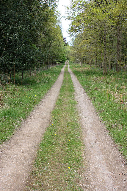 Photo could not load
SO6410 : Heading North from Staple-edge Bungalows
Pauline E
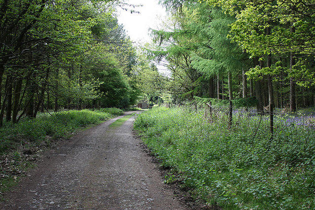 Photo could not load
SO6410 : Track heading NE to Stapledge Bungalows
Pauline E
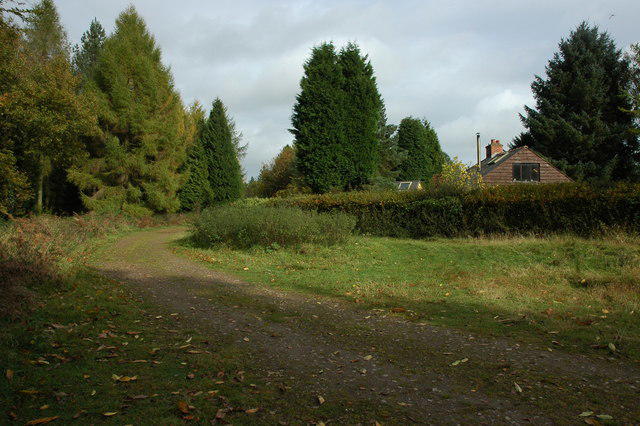 Photo could not load
SO6410 : Bungalow in Sharp Edge Wood
Philip Halling
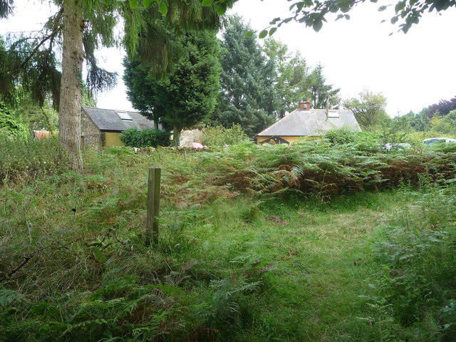 Photo could not load
SO6410 : Woodland path near Staple-edge Bungalows
Jeremy Bolwell
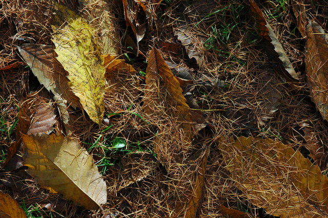 Photo could not load
SO6410 : Leaf litter in the Forest of Dean
Philip Halling
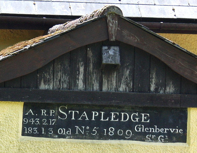 Photo could not load
SO6410 : Datestone, Stapledge Bungalows
Pauline E
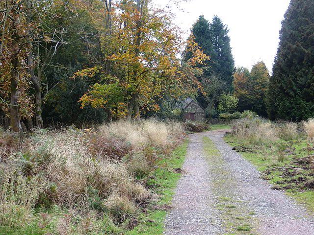 Photo could not load
SO6410 : Staple Edge
Richard Webb
Hill facts and local notes
Classifications
Elevation
228m
748 ft
Prominence
61m
Coordinates
51.7909, -2.5150
SO645103
OS Map
162
Explorer: OL14E
At the Summit
The summit features a large stone cairn and a modest trig point, perfect for those camera moments when you want to prove you've actually conquered something!
Terrain & Geology
The hill is primarily composed of sandstone, which is a characteristic feature of the Shropshire Hills. This sedimentary rock formation offers not just spectacular views but also a rich history of geological development dating back to the Permian period.
Views & Scenery
On a clear day, the views extend to the Long Mynd, the Wrekin, and even all the way to the Welsh mountains to the west. A real feast for the eyes!
History & Heritage
Name Origin
The name 'Staple' is derived from the Old English 'stapol,' meaning 'pillar' or 'post.' A fitting name for a place that stands tall!
Historical Significance
Historically, Staple Edge Hill has been a part of local folklore and is surrounded by tales of ancient warriors and mystical happenings from times long gone.
Getting There & Facilities
Parking
There is a small lay-by on the A49, a few minutes' walk from the trailhead. Arrive early to nab a spot, especially on weekends!
Public Transport
Bus services run from nearby towns such as Church Stretton to various points on the A49.
Nearby Facilities
In Church Stretton, you'll find plenty of cafes, shops, and even public toilets to freshen up before or after your hiking adventures.
Safety Information
Known Hazards
- Be wary of wet weather as the paths can become slippery. Also, watch for occasional livestock grazing along the routes!
General Safety Tips
- Check weather conditions before setting out
- Carry appropriate clothing and equipment
- Let someone know your planned route
- Take a map, compass, and GPS device
- Carry emergency supplies: food, water, first aid kit, torch
Hills
Some common questions about the hills answered
Are there group walks up Staple Edge Hill?
Many walkers use Walkmates to join or organise walks with others. You can check for group walks around Staple Edge Hill through the maps
Are there other walkers around Staple Edge Hill?
Activity varies by location and time, but Walkmates lets you see whether others have shared walks or shown interest in this area. Find other people through the walking friends search walking friends for Staple Edge Hill search or of course create your own walk for Staple Edge Hill
Can I organise a walk to Staple Edge Hill?
Yes. If there aren’t any walks listed already, you can create a walk and make it available for others to join.
If you're signed up to Walkmates, you can create a walk to Staple Edge Hill.
How do I find a walk up this hill?
There are often multiple ways to walk this hill, depending on experience and route preference. Walkmates helps you explore walks and routes that others have shared.
Can I suggest a new route up Staple Edge Hill?
Yes. You can suggest or create routes to share with others. Walkmates focuses on the social side of walking, so routes are used to help people organise walks and explore areas together, rather than as detailed navigation tools or route libraries.
Other uses really appreciate knowledgeable walkers sharing their routes. Share your favourite route to Staple Edge Hill here
The is an error or something incorrect about this hill. How do I let you know?
We always strive to keep the information on Walkmates as accurate as possible. If you find an error, please let us know through the contact form and we'll aim to correct it as quickly as possible
Community Discussion
Comments
Location
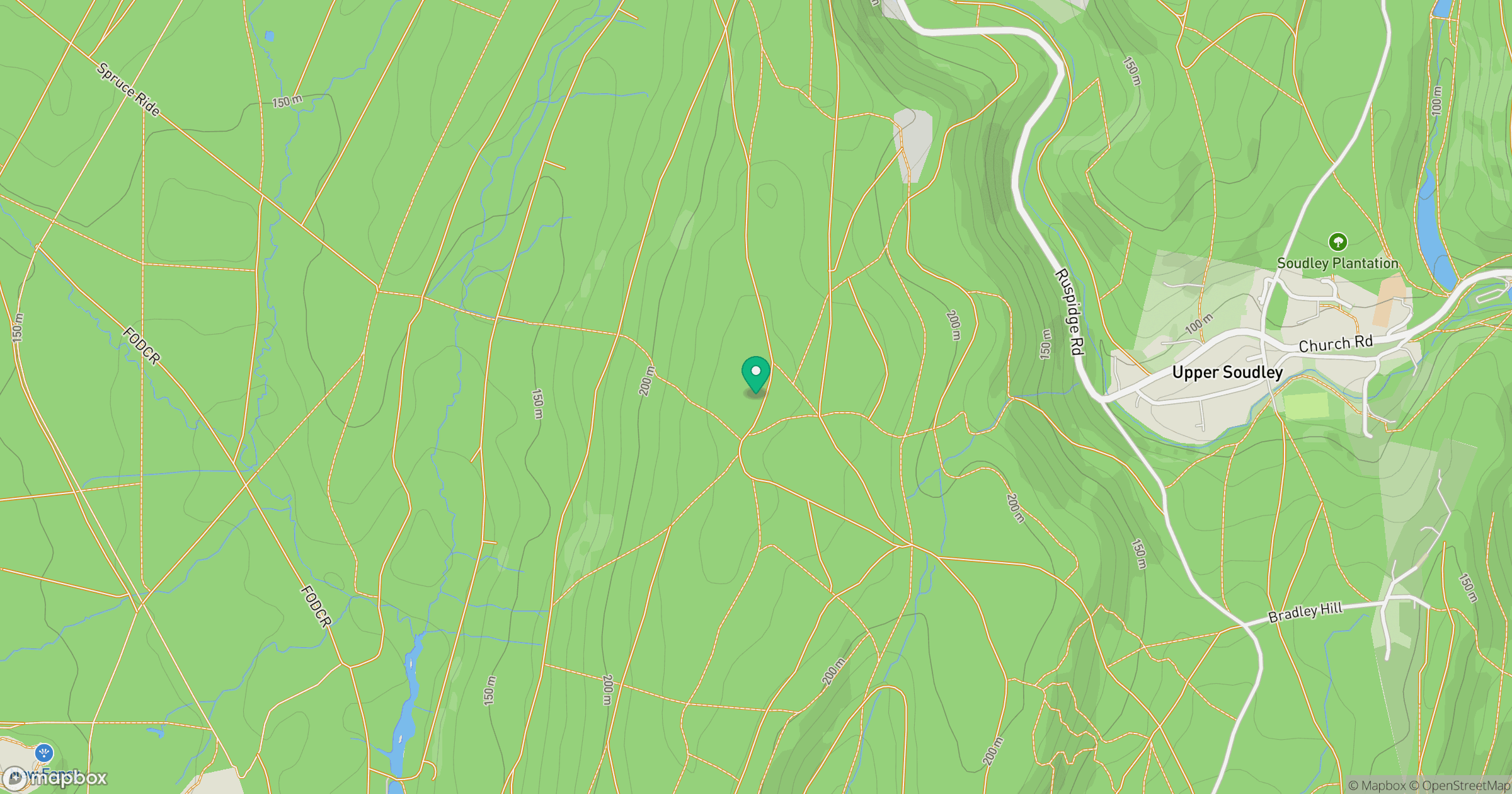
Grid reference: SO645103
View on OpenStreetMapOpens a map in a new tab, centred on the hill.
Nearby Hills
Worcestershire Beacon
425m
Titterstone Clee Hill
533m
Glastonbury Tor
158m
Long Mynd - Pole Bank
517m

The Wrekin
407m
No comments yet. Be the first.