
Circular
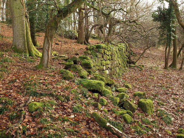
Lower Failand–Priors wood
PaulWalkmates
Walk organiser

Buck Stone Group Walks | Join a Walk
Join group walks, find walking companions and friends, or organise your own!
Don't walk alone! Find friendly walkers to explore Buck Stone together. Join scheduled group walks or start your own.
Elevation
280m
917 ft
Prominence
146m
Coordinates
51.8072, -2.6661
SO541122
OS Map
162
Explorer: OL14W
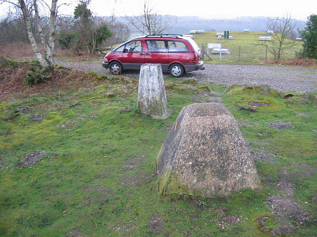
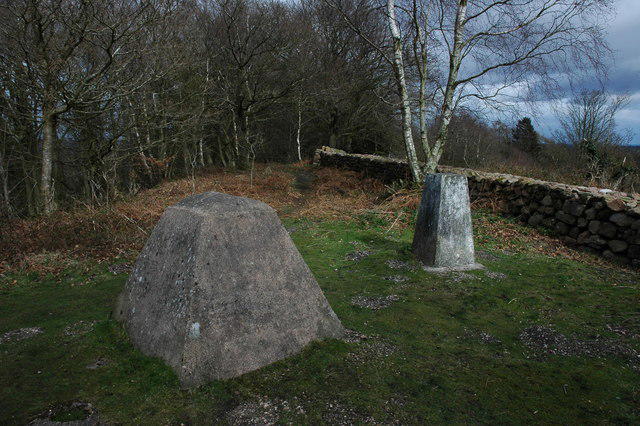
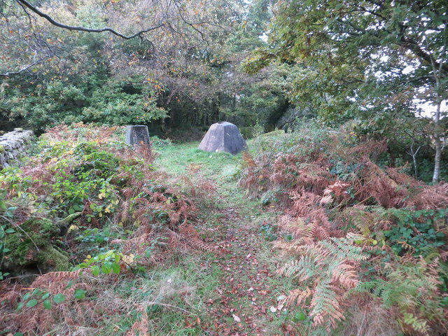
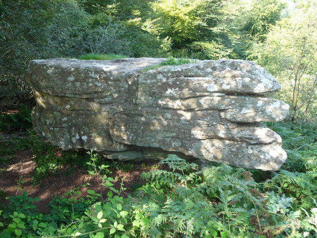
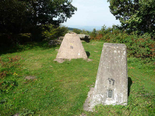
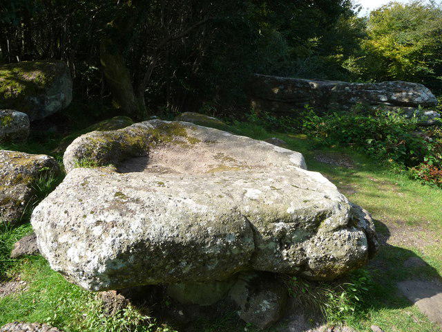
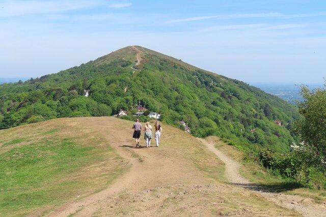
The summit is marked by a prominent gritstone outcrop, which offers excellent opportunities for photography and a perfect perch for a well-deserved snack!
Buck Stone features gritstone, typical of the Peak District, which is a hard, coarse-grained rock formed from sediments and can often form dramatic cliffs and crags.
Sweeping views of the surrounding Peak District landscapes, including Stanage Edge and the Hope Valley.
The name 'Buck Stone' reflects its historical significance, possibly tied to deer hunting in the area.
The Peak District has been a popular area for walkers since the late 19th century, with Buck Stone being a notable landmark.
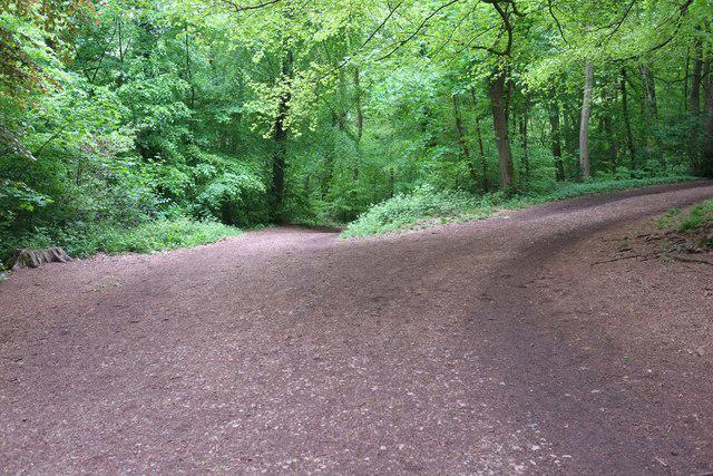
A circular route starting at Hollowgate, offering varied terrain with stunning views.
Hollowgate parking area has ample space, but it can fill up quickly on weekends.
Bus services run from nearby towns such as Hathersage and Hope, with a short walk to the start of the route.
Cafes and shops in Hathersage provide refreshments, and public toilets are available in the village.
Join friendly walkers exploring Buck Stone and surrounding area
More walks starting close to this area
Create a walk and let others join you. It's free and easy!
Some common questions about the hills answered
Many walkers use Walkmates to join or organise walks with others. You can check for group walks around Buck Stone through the maps
Activity varies by location and time, but Walkmates lets you see whether others have shared walks or shown interest in this area. Find other people through the walking friends search walking friends for Buck Stone search or of course create your own walk for Buck Stone
Yes. If there aren’t any walks listed already, you can create a walk and make it available for others to join.
If you're signed up to Walkmates, you can create a walk to Buck Stone.
There are often multiple ways to walk this hill, depending on experience and route preference. Walkmates helps you explore walks and routes that others have shared.
Yes. You can suggest or create routes to share with others. Walkmates focuses on the social side of walking, so routes are used to help people organise walks and explore areas together, rather than as detailed navigation tools or route libraries.
Other uses really appreciate knowledgeable walkers sharing their routes. Share your favourite route to Buck Stone here
We always strive to keep the information on Walkmates as accurate as possible. If you find an error, please let us know through the contact form and we'll aim to correct it as quickly as possible
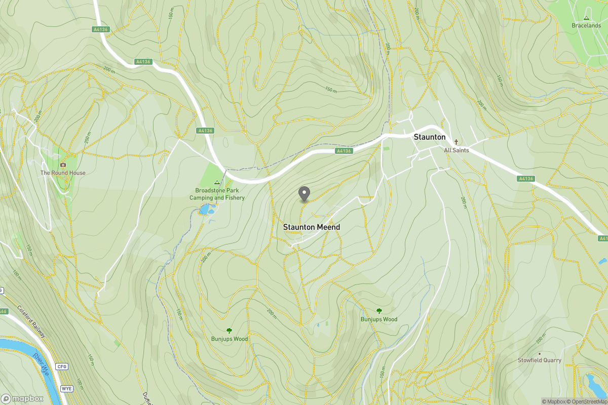
Grid Ref: SO541122
Worcestershire Beacon
425m
Titterstone Clee Hill
533m
Glastonbury Tor
158m
Cribyn
795m
Long Mynd - Pole Bank
517m
+ 5 more nearby hills
Find more walking companions in the area
No comments yet. Be the first.