

Aconbury Hill
Good walks are even better shared.
SO5032 : Aconbury Hillfort Rampart
Sandy Gerrard Photo source
Overview
Aconbury Hill: An Enthralling Hideaway
Nestled in the heart of Herefordshire, Aconbury Hill rises to a respectable height of 251 meters. Breathe in the fresh air and stride into a world where the rolling hills and scenic views come together to create a picturesque escape from the hustle and bustle of daily life.
Geology
Aconbury Hill's geological makeup consists predominantly of Old Red Sandstone. Formed millions of years ago in a sandy marine environment, this striking rock contributes to the hill's allure while hosting various flora that thrives in the region. For geology buffs, it’s a splendid opportunity to delve into the natural history of England.
Trails and Routes
Taking the Aconbury Hill Trail is your best bet, a moderate route that welcomes both seasoned hikers and enthusiastic newcomers alike. Covering a distance of approximately 3.5 km, this loop trail rises gently, revealing breathtaking views at each turn. Don’t forget your camera!
Summit Features
Upon reaching the summit, you'll encounter a small stone cairn that proudly marks your achievement. A trig point lies nearby, posing for photos and offering panoramic views unmatched in the area.
Terrain
Expect a mix of grassy fields interspersed with rocky outcrops. Beware, the ground can be muddy after rain, so while the hills are alive with the sound of music, you’ll want to ensure your footwear is suitable for some outdoor frolicking.
Views
The vistas from Aconbury Hill are nothing short of spectacular. Look out for the Malvern Hills and, if you squint just right on a clear day, you might even catch a glimpse of the hills in Wales. Spring and early autumn are prime times for picture-perfect views, where the landscape bursts into colour, making your hike all the more enjoyable.
Hazards
While the trek is lovely, remember that some paths can be slippery after rain, so do exercise caution as you traverse them. Always keep an eye out for livestock, as you may encounter them in the adjacent fields.
Access
The nearest parking is conveniently located in the village of Aconbury, just at the foot of the hill, though it's small so arrive early! For those relying on public transport, the bus stop at Hereford is the nearest, about 6 miles away. A taxi would do the trick to get you to trailhead easily.
Nearby Summits
Fancy a bit more adventure? Consider visiting the nearby Worcestershire Beacon, which rises to 425 meters and offers additional trails and stunning views.
Facilities
While Aconbury Hill itself is equipped with no facilities, make your way down to Hereford for a selection of cafes, shops, and public conveniences. After all, a proper British day out includes tea and scones!
History
Embark on a historical journey at Aconbury Hill, where the name itself offers a peek into the region's past. It is a treasure trove of ancient stories and cultural significance, etched into the landscape that locals hold dear.
So, lace up your hiking boots, pack a snack, and explore the charm of Aconbury Hill! You'll be taking in the fresh air in no time, and who knows, you might even find yourself a legend along the way.
Happy hiking!
Explore routes near Aconbury Hill
Walks starting near this hill. Open a route to check its map, distance and full itinerary.
Hereford Walk with Men Walking & Talking
View route
Forest of Dean Hicksters Way Woodland Circuit from Cannop
View route
Forest of Dean Full Colliers Trail from Cannop Ponds
View route
Clytha Estate: River Usk, Chapel Ruins and Castle Woods
View route
Route planning notes
These notes describe possible approaches. Check a route's map and access information when planning your walk.
Aconbury Hill Trail
A scenic loop starting from Aconbury, this well-marked trail offers a steady ascent with beautiful views along the way.
Make a day of it, together
Find someone to share the walk with, or organise a day out along a route you like.
Photo Gallery
View all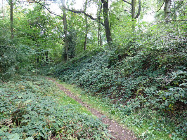 Photo could not load
SO5032 : Aconbury Hillfort Rampart
Sandy Gerrard
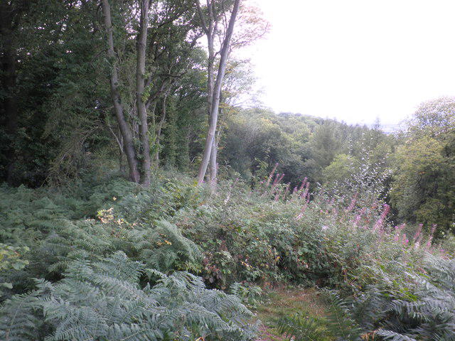 Photo could not load
SO5033 : Aconbury Iron-age fort, ramparts
Roger Cornfoot
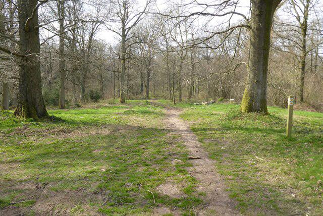 Photo could not load
SO5033 : Path on top of Aconbury Hill
Philip Halling
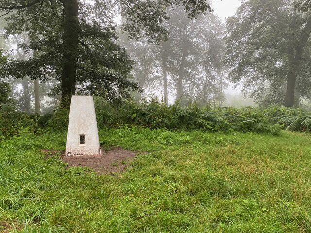 Photo could not load
SO5033 : Aconbury Camp Trig Point Flush Bracket S6380
thejackrustles
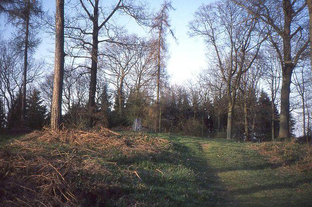 Photo could not load
SO5032 : The summit, Aconbury Hill
Richard Webb
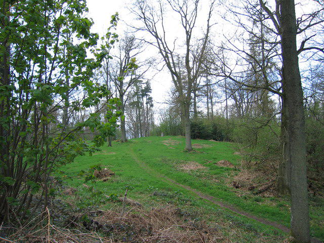 Photo could not load
SO5032 : Aconbury Hill
Rude Health
 Photo could not load
SO5032 : Trig point on Aconbury Hill
Roger Cornfoot
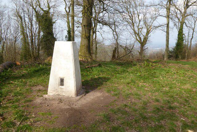 Photo could not load
SO5032 : Trig point on Aconbury Hill
Philip Halling
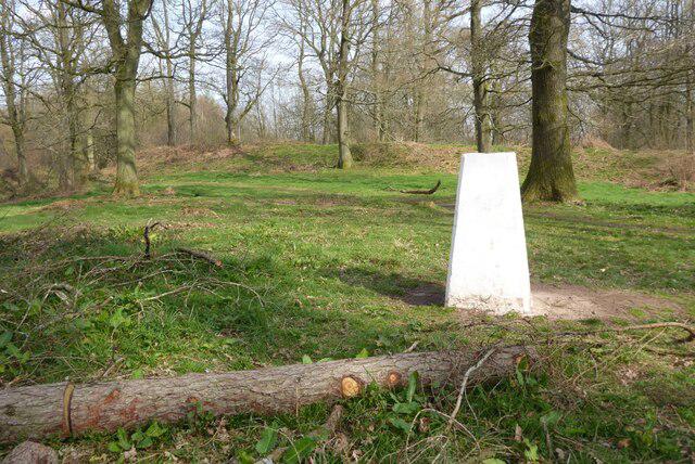 Photo could not load
SO5032 : Trig point on Aconbury Hill
Philip Halling
Hill facts and local notes
Classifications
Elevation
276m
904 ft
Prominence
158m
Coordinates
51.9932, -2.7211
SO505329
OS Map
149
Explorer: 189
At the Summit
The summit of Aconbury Hill features a small stone cairn, with a trig point nearby providing an excellent vantage point for photographers and nature lovers alike.
Terrain & Geology
Aconbury Hill is primarily formed from Old Red Sandstone, a sedimentary rock that forms many of the hills in the area. The geology here has contributed to both the shape and ecology of the landscape, making it a fascinating area for geology enthusiasts.
Views & Scenery
From the summit, you can enjoy stunning views of the Malvern Hills and the surrounding Herefordshire countryside. On a clear day, the hills in the Welsh border area can also be spotted.
History & Heritage
Name Origin
The name 'Aconbury' is derived from the Old English 'Ac', meaning oak, and 'brycg', meaning bridge - a nod to the ancient oaks that act as landmarks in the area.
Historical Significance
The hill plays a role in local folklore, with stories of ancient rituals linked to the landscape, making it significant not only geographically but culturally.
Getting There & Facilities
Parking
There is a small car park at the base of Aconbury Hill in the village of Aconbury, suitable for 5-6 vehicles.
Public Transport
The nearest bus stop is in the village of Hereford, approximately 6 miles away. A taxi could be a good option to the start of the trail.
Nearby Facilities
There are no facilities directly on Aconbury Hill, but Hereford has a range of cafes, shops, and public toilets.
Safety Information
Known Hazards
- Slippery paths after rain, potential for uneven ground, and livestock in fields.
General Safety Tips
- Check weather conditions before setting out
- Carry appropriate clothing and equipment
- Let someone know your planned route
- Take a map, compass, and GPS device
- Carry emergency supplies: food, water, first aid kit, torch
Hills
Some common questions about the hills answered
Are there group walks up Aconbury Hill?
Many walkers use Walkmates to join or organise walks with others. You can check for group walks around Aconbury Hill through the maps
Are there other walkers around Aconbury Hill?
Activity varies by location and time, but Walkmates lets you see whether others have shared walks or shown interest in this area. Find other people through the walking friends search walking friends for Aconbury Hill search or of course create your own walk for Aconbury Hill
Can I organise a walk to Aconbury Hill?
Yes. If there aren’t any walks listed already, you can create a walk and make it available for others to join.
If you're signed up to Walkmates, you can create a walk to Aconbury Hill.
How do I find a walk up this hill?
There are often multiple ways to walk this hill, depending on experience and route preference. Walkmates helps you explore walks and routes that others have shared.
Can I suggest a new route up Aconbury Hill?
Yes. You can suggest or create routes to share with others. Walkmates focuses on the social side of walking, so routes are used to help people organise walks and explore areas together, rather than as detailed navigation tools or route libraries.
Other uses really appreciate knowledgeable walkers sharing their routes. Share your favourite route to Aconbury Hill here
The is an error or something incorrect about this hill. How do I let you know?
We always strive to keep the information on Walkmates as accurate as possible. If you find an error, please let us know through the contact form and we'll aim to correct it as quickly as possible
Community Discussion
Comments
Location
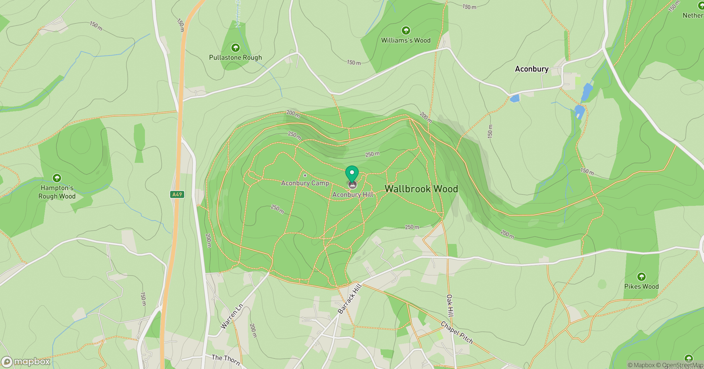
Grid reference: SO505329
View on OpenStreetMapOpens a map in a new tab, centred on the hill.
Nearby Hills
Worcestershire Beacon
425m
Titterstone Clee Hill
533m
Long Mynd - Pole Bank
517m
Stiperstones
537m
Carneddau
445m
No comments yet. Be the first.