
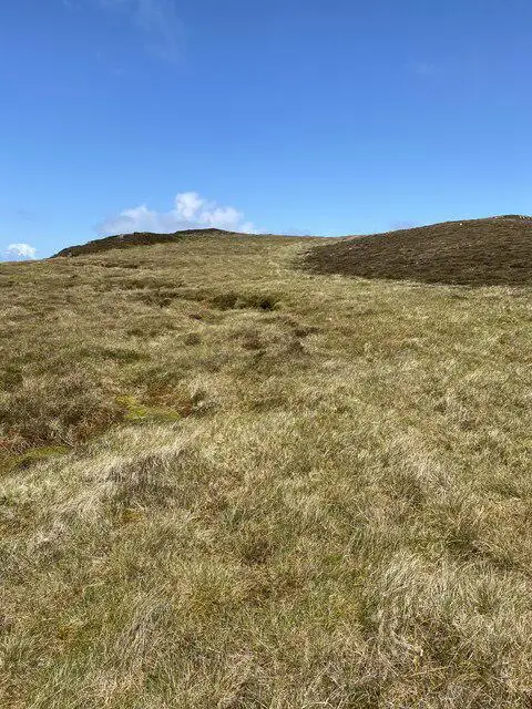
Sgarbh Dubh
Good walks are even better shared.
Overview
Sgarbh Dubh: A Hiker's Delight
Sgarbh Dubh, standing at a proud 643 meters, offers a scenic hike for outdoor enthusiasts looking to escape the hustle and bustle of contemporary life. The mountain's name, meaning 'Black Cormorant,' is a nod to the birds often found hovering over the waters below, providing a whimsical touch to the climbing experience.
Geology
The rocky slopes of Sgarbh Dubh primarily consist of ancient lava flows, forming the rugged landscape seen today. The area's unique geological features contribute to its character and the breathtaking scenery that surrounds it.
Routes
North Approach from Ardlussa
Embarking from the small hamlet of Ardlussa, this moderately challenging route presents a delightful mix of grassy meadows and rocky inclines. Expect to take around 2.5 hours to reach the summit, allowing for plenty of photo opportunities along the way.
Summit Features
At the top, hikers are greeted by a humble cairn. It’s an excellent spot for a well-deserved break while soaking in the stunning views.
Terrain
Be prepared for rugged rocky patches interspersed with soft grass and vibrant heather. Good footwear is a must, so leave the flip-flops at home!
Views
Reaching the summit rewards you with breathtaking views of the nearby islands and the glittering waters of Loch Feochan. The best time for these views is during the spring and early summer months, but autumn colours are equally enchanting.
Hazards
Keep in mind that the weather can change quicker than you can say ‘sticky toffee pudding,’ so be prepared for anything! Loose rocks could trip you up, especially when surfaces are slick from rain.
Nearby Summits
For those keen to extend their hiking adventures, nearby peaks like Beinn a' Chochuill and Beinn Fhionnlaidh promise additional treats for the intrepid explorer.
Access
Parking can be found in a small layby in Ardlussa, with connections to public transport from Oban. The nearest town, Oban, is approximately 15 km away, where you can refuel with a hearty meal post-hike.
Facilities
While facilities are sparse close to Sgarbh Dubh, make sure to stop by Oban for cafes and toilets before heading off on your adventure. You wouldn't want to embark unprepared!
So lace up those boots and make your way to Sgarbh Dubh for a memorable Highland escapade!
Explore routes near Sgarbh Dubh
Public walks starting within 80 km of this hill. Nearby does not mean a route reaches the summit; check its map and access before setting out.
Crinan Canal: Bellanoch and Dunardry towpath return
View route
Goatfell from Cladach
View route
Glen Kin group walk
View route
Portballintrae to Giant's Causeway: railway path and Blue Trail return
View route
Route planning notes
These notes describe possible approaches, not verified navigable routes or permission to cross land. Check current paths, local access rules and conditions before setting out.
North Approach from Ardlussa
This scenic route begins at the small hamlet of Ardlussa. It features a steady ascent through lush green grasslands before reaching the rocky slopes of Sgarbh Dubh.
Make a day of it, together
Find someone to share the walk with, or organise a day out along a route you like.
Photo Gallery
View all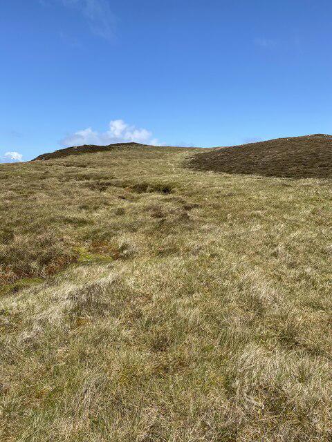 Photo could not load
NR3775 : Nearly there, final push to Sgarbh Dubh
thejackrustles
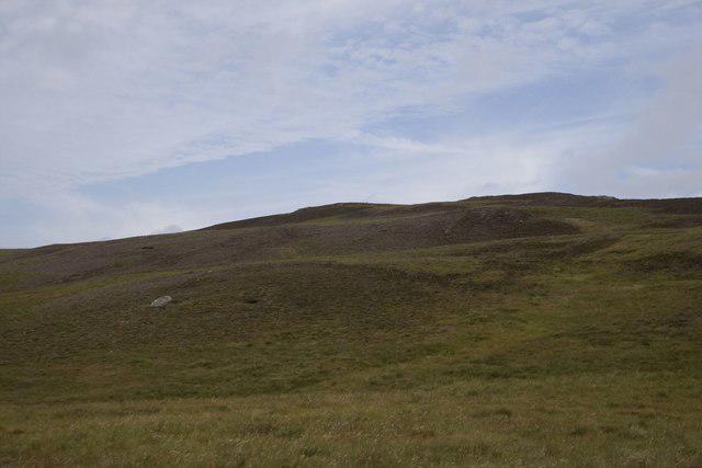 Photo could not load
NR3675 : Moorland beneath summit of Sgarbh Dubh, Islay
Becky Williamson
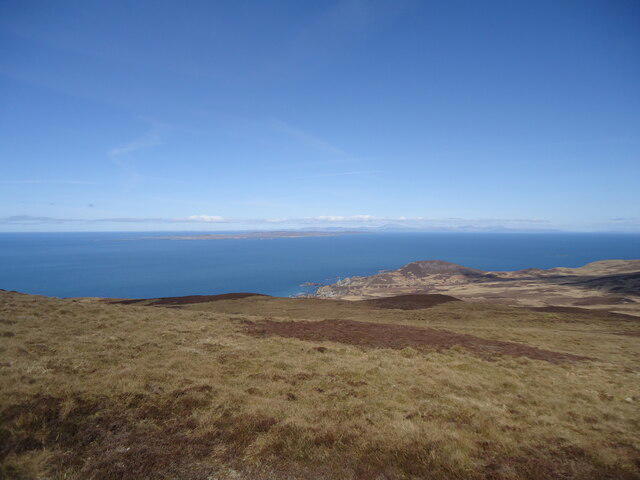 Photo could not load
NR3775 : Looking north from near Sgarbh Dubh summit, Islay
Michael Earnshaw
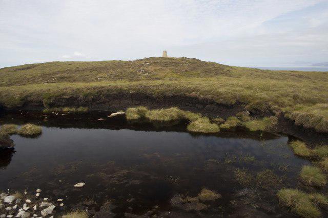 Photo could not load
NR3775 : Peaty pool near summit of Sgarbh Dubh, Islay
Becky Williamson
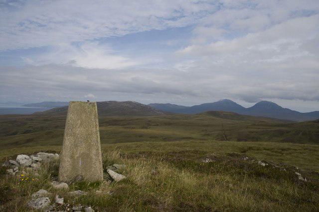 Photo could not load
NR3775 : Trigpoint, Sgarbh Dubh (294 m), Islay
Becky Williamson
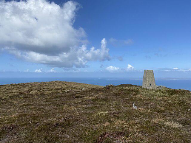 Photo could not load
NR3775 : Sgarbh Dubh Trig Point Flush Bracket S9001
thejackrustles
Hill facts and local notes
Classifications
Elevation
294m
965 ft
Prominence
112m
Coordinates
55.8996, -6.2088
NR370754
OS Map
60 61
Explorer: 353E 354
At the Summit
The summit is marked by a small cairn, providing a perfect photo opportunity against the stunning Highlands backdrop.
Terrain & Geology
Sgarbh Dubh is primarily composed of ancient lava flows and intrusive igneous rocks, giving it a rugged character typical of the region. The surrounding area features a mix of heather-covered hills and rocky outcrops.
Views & Scenery
From the summit, hikers can enjoy panoramic views of the rugged coastline, nearby islands, and the sprawling waters of Loch Feochan.
History & Heritage
Name Origin
Sgarbh Dubh translates to 'Black Cormorant' in Gaelic, named after the bird often spotted in the nearby waters.
Historical Significance
The mountain has cultural significance in local folklore, often associated with tales of hardy Highlanders and feisty wildlife.
Getting There & Facilities
Check current local access restrictions, parking rules and transport timetables before travelling. These notes do not confirm public access to the summit.
Parking
Parking is available in Ardlussa at a small layby, accommodating two to three cars. Please park responsibly.
Public Transport
Buses from Oban operate regularly to Kilmore, with a short walk from there to Ardlussa.
Nearby Facilities
The nearest facilities, including cafés and public toilets, can be found in Oban, approximately 15 km away.
Safety Information
Known Hazards
- As with many mountainous areas, be cautious of sudden weather changes. Loose rocks and steep descents may pose risks, particularly when wet.
General Safety Tips
- Check weather conditions before setting out
- Carry appropriate clothing and equipment
- Let someone know your planned route
- Take a map, compass, and GPS device
- Carry emergency supplies: food, water, first aid kit, torch
Hills
Some common questions about the hills answered
Are there group walks up Sgarbh Dubh?
Many walkers use Walkmates to join or organise walks with others. You can check for group walks around Sgarbh Dubh through the maps
Are there other walkers around Sgarbh Dubh?
Activity varies by location and time, but Walkmates lets you see whether others have shared walks or shown interest in this area. Find other people through the walking friends search walking friends for Sgarbh Dubh search or of course create your own walk for Sgarbh Dubh
Can I organise a walk to Sgarbh Dubh?
Yes. If there aren’t any walks listed already, you can create a walk and make it available for others to join.
If you're signed up to Walkmates, you can create a walk to Sgarbh Dubh.
How do I find a walk up this hill?
There are often multiple ways to walk this hill, depending on experience and route preference. Walkmates helps you explore walks and routes that others have shared.
Can I suggest a new route up Sgarbh Dubh?
Yes. You can suggest or create routes to share with others. Walkmates focuses on the social side of walking, so routes are used to help people organise walks and explore areas together, rather than as detailed navigation tools or route libraries.
Other uses really appreciate knowledgeable walkers sharing their routes. Share your favourite route to Sgarbh Dubh here
The is an error or something incorrect about this hill. How do I let you know?
We always strive to keep the information on Walkmates as accurate as possible. If you find an error, please let us know through the contact form and we'll aim to correct it as quickly as possible
Community Discussion
Comments
Location
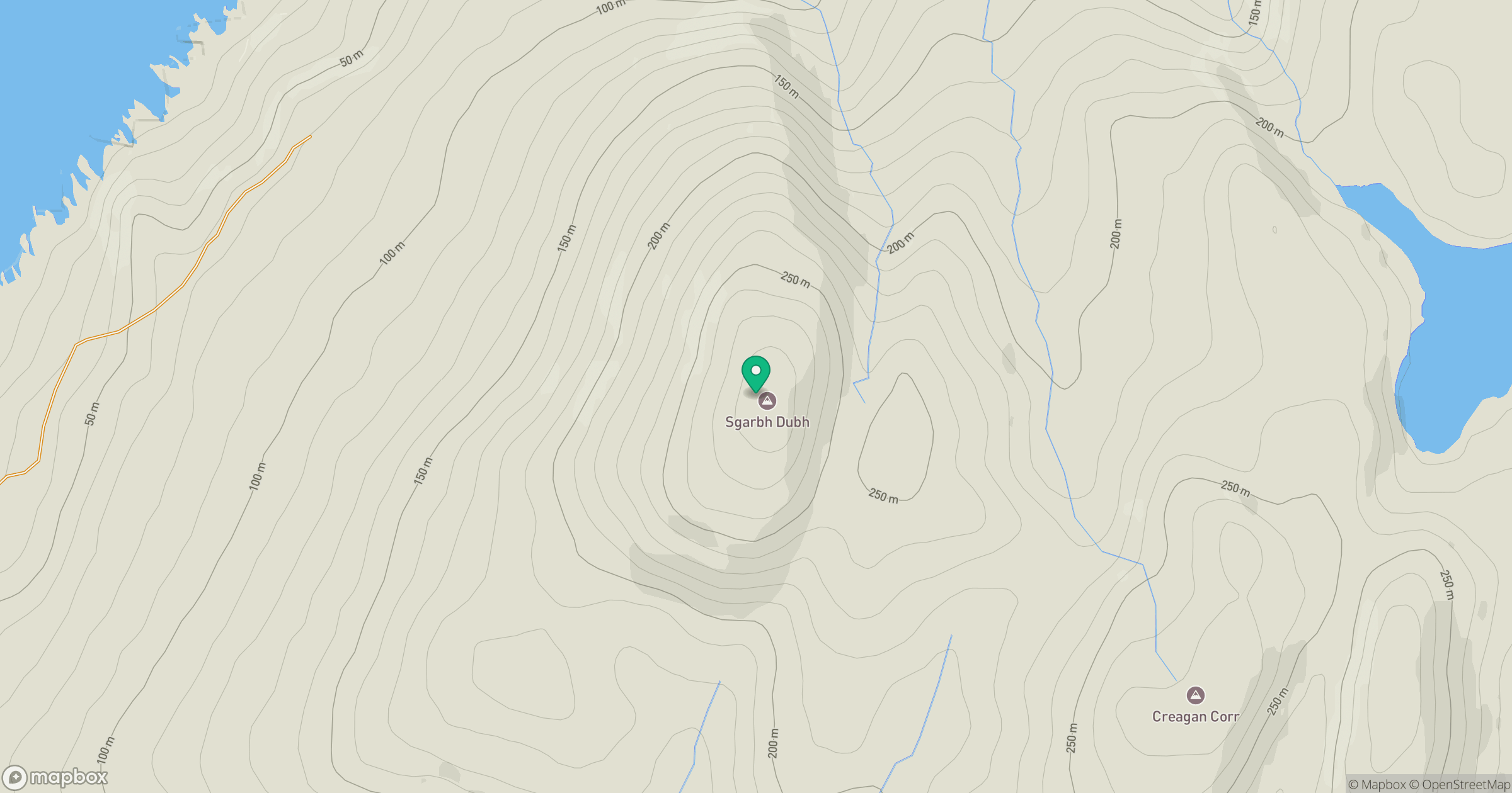
Grid reference: NR370754
View on OpenStreetMapOpens a map in a new tab, centred on the hill.
Hills within 30 km
Straight-line distance, not a walking route or confirmation of access.
No comments yet. Be the first.