

Sandown Park
Good walks are even better shared.
TQ6040 : Tunbridge Wells High School, Blackhurst Lane
N Chadwick Photo source
Overview
Sandown Park
Nestled in the charming town of Sandown on the Isle of Wight, Sandown Park offers a delightful escape for nature lovers and families alike. With its beautifully maintained gardens and open spaces, it’s a perfect spot for enjoying the great outdoors without the need for hiking boots.
Geology
While not a mountain in the traditional sense, Sandown Park sits on soil mainly composed of sandy and clayey types, characteristic of this coastal region. If you’re intrigued by geology, you’ll find the shifting sands and clay beneath your feet tell the story of the Isle of Wight’s dynamic landscape.
Routes
The Sandown Seafront to Sandown Park route is an easy and pleasant walk, approximately 1.5 km long. It’s especially great for families with young children, who can enjoy the playgrounds along the way. It’s a stroll that will have you toe-tapping with the rhythm of the waves.
Summit Features
The “summit” of your journey at Sandown Park will be met with lush gardens and interactive children’s play areas. While you won’t find a traditional summit with cairns and peaks, the park’s community spirit is towering in its own right!
Terrain Type
Sandown Park boasts grassy fields and paved pathways that are flat and accessible, making it suitable for prams, bicycles, and even the occasional rogue skateboarder. Just keep an eye out for those children charging around!
Views
When it comes to views, you’re treated to sweeping vistas of Sandown Bay and the stunning coastal scenery that graces the Isle of Wight. The best time to enjoy these sights is during spring and summer, especially when the flowers are in bloom.
Hazards
As a public park, be mindful of the occasional slippery pathways when it rains—no one likes a surprise slide! Also, be prepared for busy weekends when the park bustles with families enjoying the sun.
Access
Getting to Sandown Park is a breeze. There’s public parking available along the seafront just a stone's throw away. For those relying on public transport, Sandown train station is conveniently located with regular services from nearby towns.
Facilities
You won’t go hungry here with a cafe in the park and convenient toilets available. Additionally, you’ll find shops and eateries along the seafront to pamper your taste buds.
History
The name ‘Sandown’ has its roots in Old English, translating to ‘sand dune.’ This hints at the area’s coastal origins. Historically, Sandown Park holds significance as a community hub filled with events that celebrate the local culture.
So, whether you're picnicking with friends, playing fetch with your furry buddy, or just soaking up the sun, Sandown Park is a delightful destination for all.
Happy exploring!
Explore routes near Sandown Park
Walks starting near this hill. Open a route to check its map, distance and full itinerary.
Scotney Castle Parkland and River Bewl Circuit
View route
Bedgebury Pinetum Lakes and Conifer Circuit
View route
Crowborough Walk with Men Walking & Talking
View route
Ightham Mote, Scathes Wood and Wilmot Hill Circuit
View route
Route planning notes
These notes describe possible approaches. Check a route's map and access information when planning your walk.
Sandown Seafront to Sandown Park
A delightful promenade along the coastal front leading to the park, perfect for families and leisurely strolls.
Make a day of it, together
Find someone to share the walk with, or organise a day out along a route you like.
Photo Gallery
View all Photo could not load
TQ6040 : Tunbridge Wells High School, Blackhurst Lane
N Chadwick
 Photo could not load
TQ6040 : Skinners' Kent Academy
N Chadwick
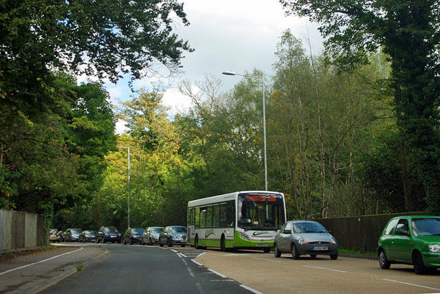 Photo could not load
TQ6040 : Traffic queue on Pembury Road
Robin Webster
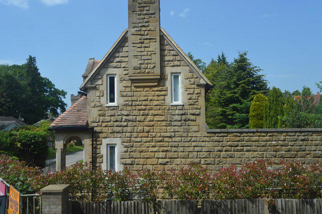 Photo could not load
TQ6040 : Lodge, Leonard Cheshire Home, Pembury Rd
N Chadwick
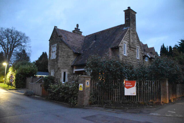 Photo could not load
TQ6040 : Seven Springs
N Chadwick
 Photo could not load
TQ6040 : Skinners' Kent Academy
N Chadwick
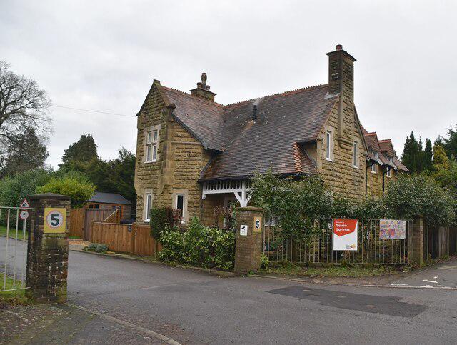 Photo could not load
TQ6040 : Lodge, Seven Springs Cheshire Home
N Chadwick
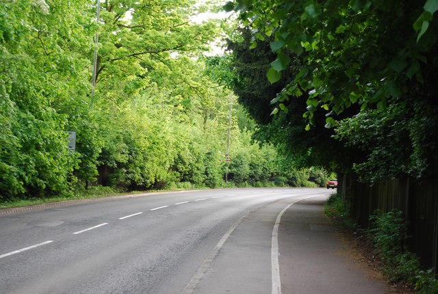 Photo could not load
TQ6040 : An empty road! A264, Pembury Rd
N Chadwick
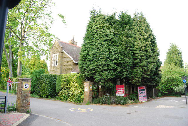 Photo could not load
TQ6040 : Entrance to Seven Springs Home, Pembury Rd
N Chadwick
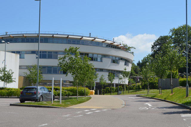
TQ6040 : Skinners' Academy
N Chadwick
Hill facts and local notes
Classifications
Elevation
154m
505 ft
Prominence
32m
Coordinates
51.1397, 0.2957
TQ606403
OS Map
188
Explorer: 136 147
At the Summit
Sandown Park features well-maintained gardens, children's play areas, and open green spaces perfect for picnics.
Terrain & Geology
Primarily sandy and clayey soils with occasional chalk, characteristic of the Isle of Wight's coastal geology.
Views & Scenery
Fantastic views of Sandown Bay, as well as the iconic cliffs around the Isle of Wight.
History & Heritage
Name Origin
The name 'Sandown' derives from the Old English 'sand dune', reflecting its coastal origins.
Historical Significance
Sandown Park is a popular recreational area, known for hosting events and being a community hub for locals and tourists alike.
Getting There & Facilities
Parking
Public parking available along the seafront, just a short walk to the park.
Public Transport
Sandown train station is nearby, with regular services from Ryde and Shanklin.
Nearby Facilities
Cafe and toilets are available within the park, as well as nearby shops and restaurants along the seafront.
Safety Information
Known Hazards
- Occasional slippery pathways during wet weather and busy park activity during weekends and holidays.
General Safety Tips
- Check weather conditions before setting out
- Carry appropriate clothing and equipment
- Let someone know your planned route
- Take a map, compass, and GPS device
- Carry emergency supplies: food, water, first aid kit, torch
Hills
Some common questions about the hills answered
Are there group walks up Sandown Park?
Many walkers use Walkmates to join or organise walks with others. You can check for group walks around Sandown Park through the maps
Are there other walkers around Sandown Park?
Activity varies by location and time, but Walkmates lets you see whether others have shared walks or shown interest in this area. Find other people through the walking friends search walking friends for Sandown Park search or of course create your own walk for Sandown Park
Can I organise a walk to Sandown Park?
Yes. If there aren’t any walks listed already, you can create a walk and make it available for others to join.
If you're signed up to Walkmates, you can create a walk to Sandown Park.
How do I find a walk up this hill?
There are often multiple ways to walk this hill, depending on experience and route preference. Walkmates helps you explore walks and routes that others have shared.
Can I suggest a new route up Sandown Park?
Yes. You can suggest or create routes to share with others. Walkmates focuses on the social side of walking, so routes are used to help people organise walks and explore areas together, rather than as detailed navigation tools or route libraries.
Other uses really appreciate knowledgeable walkers sharing their routes. Share your favourite route to Sandown Park here
The is an error or something incorrect about this hill. How do I let you know?
We always strive to keep the information on Walkmates as accurate as possible. If you find an error, please let us know through the contact form and we'll aim to correct it as quickly as possible
Community Discussion
Comments
Location
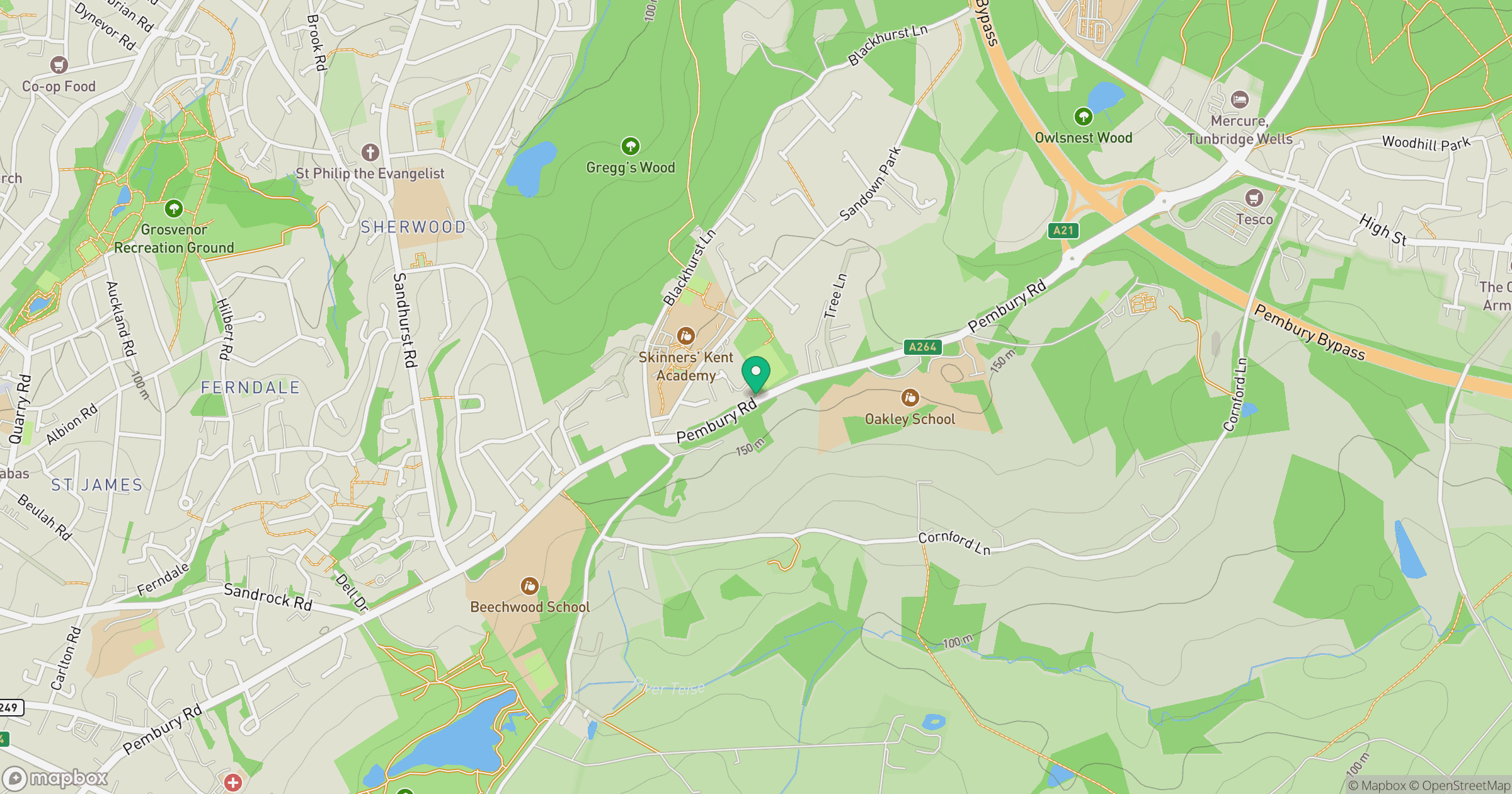
Grid reference: TQ606403
View on OpenStreetMapOpens a map in a new tab, centred on the hill.
No comments yet. Be the first.