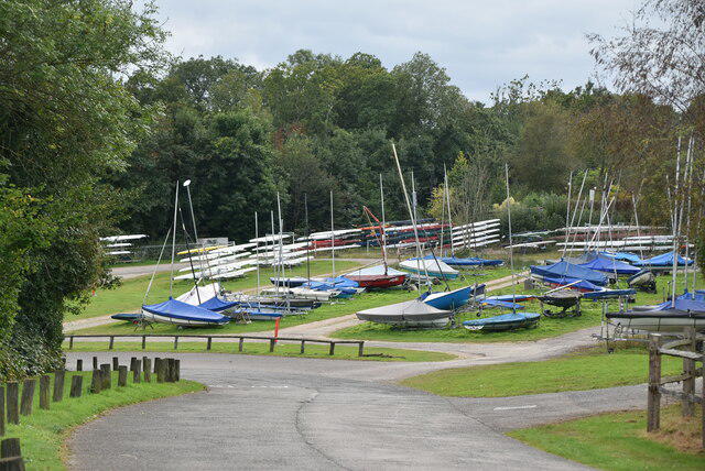
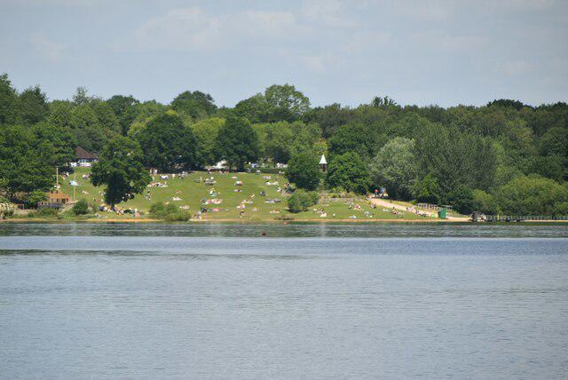
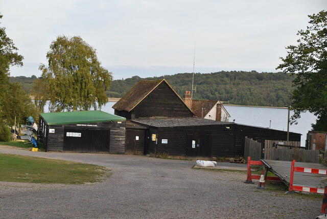
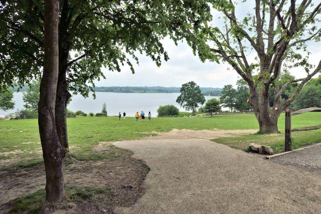
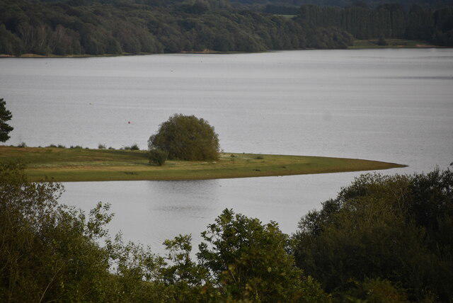
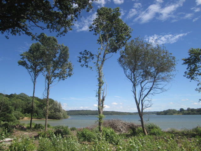
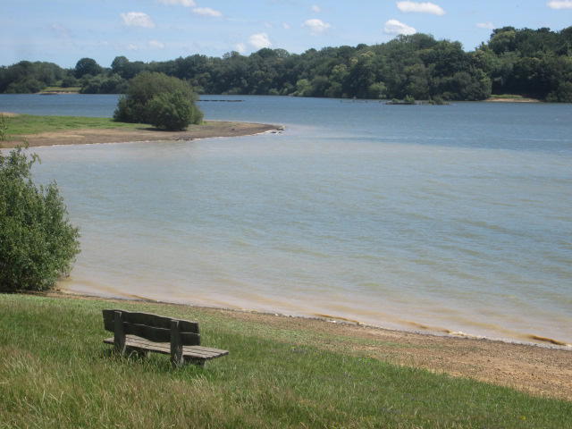
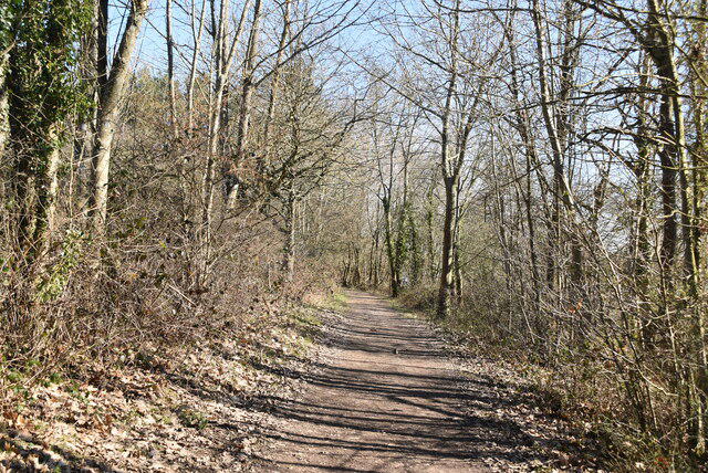
Make a full circuit of Bewl Water from the main visitor car park, following the established round-reservoir route clockwise. Cross the dam and work your way through wooded bays towards Rosemary Lane. The trail then rounds the southern inlet, passes Dunsters Mill and reaches the Burnt Lodge side of the reservoir. An inland stretch through Tolhurst and Birchetts Green brings you back to the western shore, with a return past Hook Hill and the visitor area. This main circuit leaves out optional nature-reserve and bird-hide detours.
The mapped route is about 20 km. Allow a full day: the operator suggests five to six hours of walking, with extra time for breaks. Pack lunch, drinking water, waterproofs and offline navigation. Toilets are at the main visitor centre; there are no public facilities around the complete trail. Expect rolling ground, steeper stretches, tree roots, gates, stiles and mud after rain. Roughly 4.3 km follows country lanes, so watch for vehicles and blind bends. A pavement is not guaranteed. Shared trails also carry cyclists and permitted horse riders.
Walking is free, but parking is charged. The published all-day car tariff is £8.50, paid through RingGo using code 50900; check current signs and cover the whole visit. Plan to arrive from 08:00 and return well before the 20:00 gate closure and before dark. The parking tariff starts earlier than the published visitor opening time, so do not assume early entry.
Check the complete circuit with the operator before setting out. Wet sections may close between November and April; this is not a guaranteed year-round loop, and no unverified winter diversion is included. Obey closures rather than improvising around them. Keep dogs on leads around the café, play areas and livestock, and out of the reservoir and nature reserve. Blue-green algae can occur in still bays.
Route geometry: © OpenStreetMap contributors, licensed under the Open Database Licence (ODbL) 1.0. https://www.openstreetmap.org/copyright