
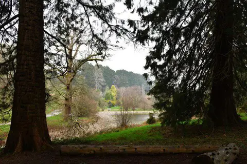
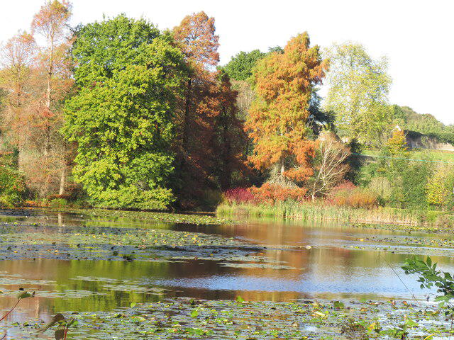
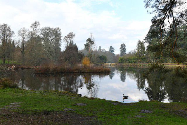
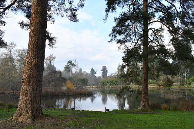
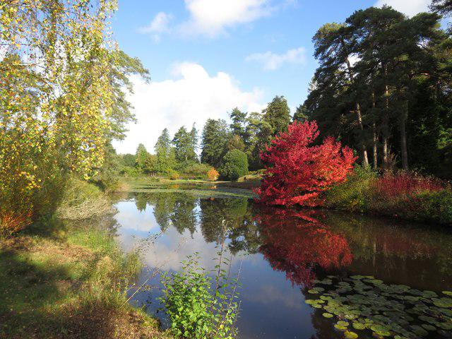
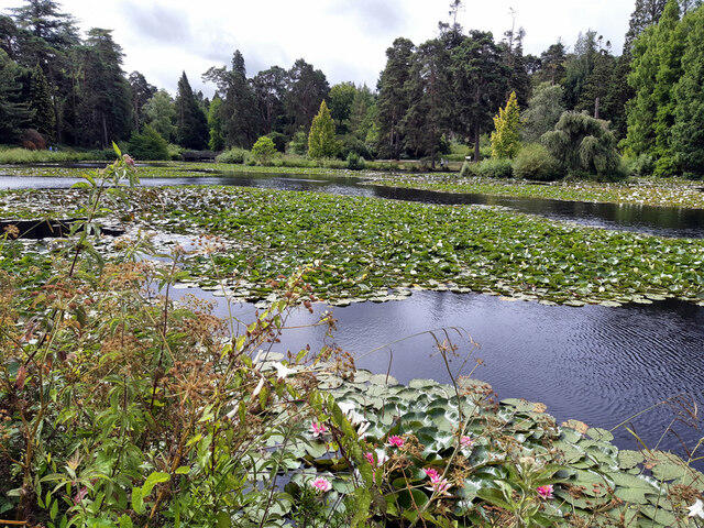
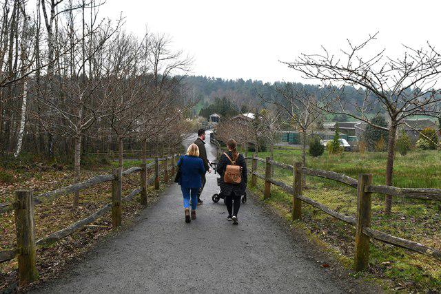
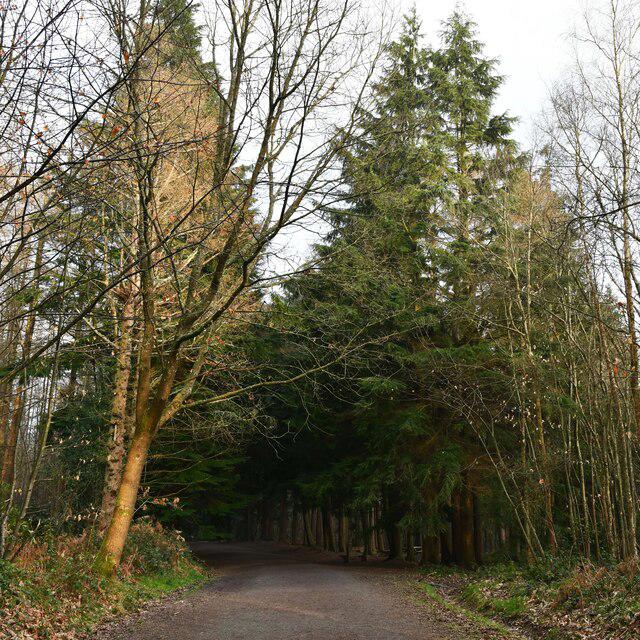
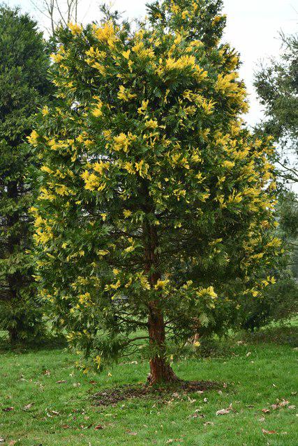
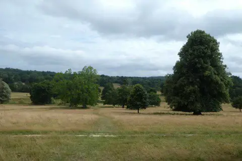
Image shared for Bedgebury Pinetum Lakes and Conifer Circuit
Park / Green space Circular

Bedgebury Pinetum Lakes and Conifer Circuit

Kent

Distance
1.5 mi
Est. time
1h 15m
Difficulty
Easy
PaulWalkmates Route by PaulWalkmates

About this walk

Start on the Pinetum path beside Bedgebury's visitor centre and cafe. This circuit follows the main purple-dotted Pinetum trail through the conifer collection, with lakes, valley views and a return through the southern avenues. Allow about an hour and a quarter, including time to read tree labels and pause by the water.

From the visitor centre, follow the path around the west side of the lake and continue northwest through Dallimore Valley. Keep to the purple long-loop waymarkers towards Reflection Lake and the lower end of Marshal's Lake. Follow the trail east, then south through the collection and along the avenue past Cypress Valley. Turn west on the southern loop and return towards the visitor centre. Pick up the current trail map at the information point before setting off; there are many tempting side paths.

The route uses established visitor paths with gentle hills. Surfaces vary, and loose gravel, roots or wet leaves can make some sections uneven. Shoes with grip are sensible. Keep away from lake edges and keep dogs on leads in the National Pinetum. Cycling is not permitted here; take care where paths meet the forest gateway.

Vehicle admission is charged by length of stay, with cashless payment on exit. Eligible Forestry England or Bedgebury members park free. The visitor centre has a cafe and toilets. Check seasonal closing times and finish in daylight. The Conservation loop is currently closed for maintenance; this route stays in the main Pinetum, outside that loop. Obey any additional on-site diversions.

Based on Forestry England's Pinetum trail map. Full current linked map and visitor notices checked on 3 October 2026.
https://www.forestryengland.uk/bedgebury/walking-trails

Walk details

County
Kent
Walk type
Circular
Category
Park / Green space
Distance
1.5 mi (2.4 km)
Est. time
1h 15m
Explorer
Yes, off the beaten track

Route map

Use the route details to plan your walk

If the map image does not load, the route description and starting-point details are still on this page.

The interactive map will load when you reach this section.

Where to start

Directions to start

Walking on your own?

Start when you're ready and add the walk to your history. No group date needed.

This walk is waiting for a date

Not ready to pick a date? Follow it and you'll hear when somebody else does.

No commitment. You can follow it now and pick a date later.

Joining a walk

A few things to know before you make plans.

Can I join if no one else is going?

You can be the first to join a scheduled walk. A suggested date is an idea for a group walk; choose Set this date up to organise it. Check the participant list and meeting details before setting off.

What if there is no date yet?

Choose Put a date on this walk to organise a group walk. Not ready to choose a day? Follow the route for scheduling updates, or save it for later.

What does the organiser do?

The organiser sets the date and meeting details and helps the group get started. They are a fellow walker and may be new to the route too.

Each walker is responsible for their own safety and navigation. Check the route, weather, equipment and whether the walk suits your experience and fitness.

Can I walk this route on my own?

Yes. Choose Walk this route on your own to open the start screen, then start when you are ready. Finish the walk to add it to your walking history. You do not need a group date.

What happens after I join?

Use the walk page to check meeting details, updates and who is going. Check in from 24 hours before the start to let the group know you still plan to come.

How do I confirm plans with the group?

Check the participant list and check-ins, and message the organiser or other walkers to confirm where to meet and who is coming. This is especially useful when the group is small.
