

Round Knott
Good walks are even better shared.
NY3333 : On Carrock Fell
Michael Graham Photo source
Overview
Round Knott: An Overview
Nestled in the Lake District, Round Knott is a modest but enchanting hill with a lot to offer outdoor enthusiasts. With an elevation of 451 meters, it provides a perfect outing for those looking to escape the hustle and bustle of everyday life.
Geology
Round Knott’s volcanic rock base tells a story of ancient geological activity. The rocky outcrops and rugged terrain have been shaped by glacial movements, creating a fascinating landscape ideal for hiking.
Routes
There are two main routes to the summit:
- From the Matterdale Valley: This moderate 5.5 km route takes about 2.5 hours and offers stunning views of the surrounding landscape as you make your ascent.
- From Dockray Village: A slightly shorter 3.8 km route that can be completed in around 1.5 hours, providing a direct path through beautiful woodlands.
Summit Features
At the summit, you will find a stone cairn and an incredible vantage point to admire the breathtaking views of the surrounding fells, including the famous Helvellyn Range.
Terrain
The terrain is a mix of rocky and grassy areas, featuring patches of heather that bloom beautifully in late summer.
Views
Prepare yourself for panoramic vistas from the top! On a clear day, the sight of Ullswater Lake shimmering below and the distant peaks of the Pennines make every step worth it.
Hazards
As always in the Lake District, caution is advised. Slippery rocks and potential for sudden weather changes can catch hikers off guard, so pack accordingly!
Nearby Summits
Hikers may wish to combine their trip with visits to nearby peaks such as Raise (883 m) and Helvellyn (950 m) for a more adventurous day out.
Access
The nearest parking is a small car park in Matterdale, just a short walk from the trails. Regular bus services from Penrith make accessing the area convenient for public transport users.
Facilities
Quench your thirst at the local café in Dockray, where homemade cakes are a must-try! Don't forget to avail yourself of the public toilets before your hike.
History
The name Round Knott derives from its rounded summit shape, and it holds a place in local folklore, often viewed as a mystical site by the lakeside communities.
Come for the views, stay for the stories—Round Knott is a hidden gem waiting to be explored!
Explore routes near Round Knott
Walks starting near this hill. Open a route to check its map, distance and full itinerary.
Mungrisdale Common and Bowscale Fell from Mosedale Valley Wainwright
View route
Bannerdale Crags from Mungrisdale Wainwright
View route
Brae Fell from Longlands Wainwright
View route
Binsey from Binsey Lodge Direct Out and Back Wainwright
View route
Route planning notes
These notes describe possible approaches. Check a route's map and access information when planning your walk.
From the Matterdale Valley
A scenic ascent from Matterdale, offering beautiful views of the surrounding fells as you climb gradually upward.
From Dockray Village
A direct route starting from Dockray, this path winds through pleasant woodlands before the steep pull to the summit.
Make a day of it, together
Find someone to share the walk with, or organise a day out along a route you like.
Photo Gallery
View all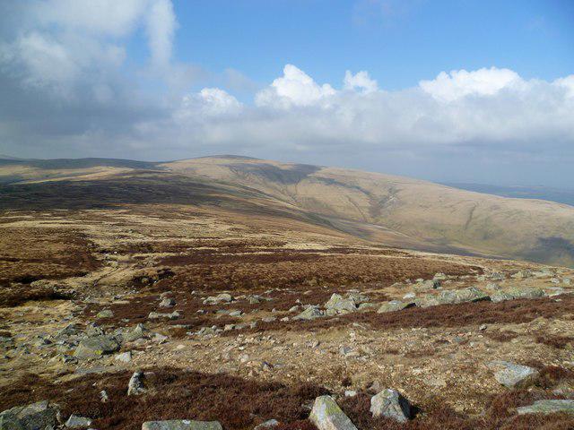 Photo could not load
NY3333 : On Carrock Fell
Michael Graham
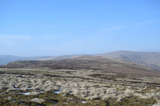 Photo could not load
NY3333 : Towards Milton Hill
Trevor Harris
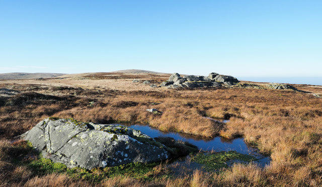 Photo could not load
NY3333 : Rock outcrops and bog near to Round Knott
Trevor Littlewood
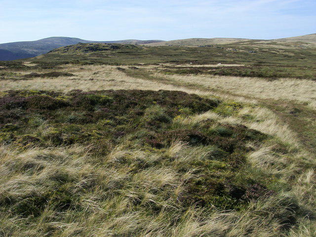 Photo could not load
NY3333 : Round Knott
Shaun Ferguson
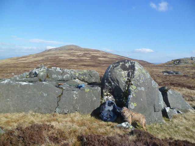 Photo could not load
NY3333 : Under Carrock Fell
Michael Graham
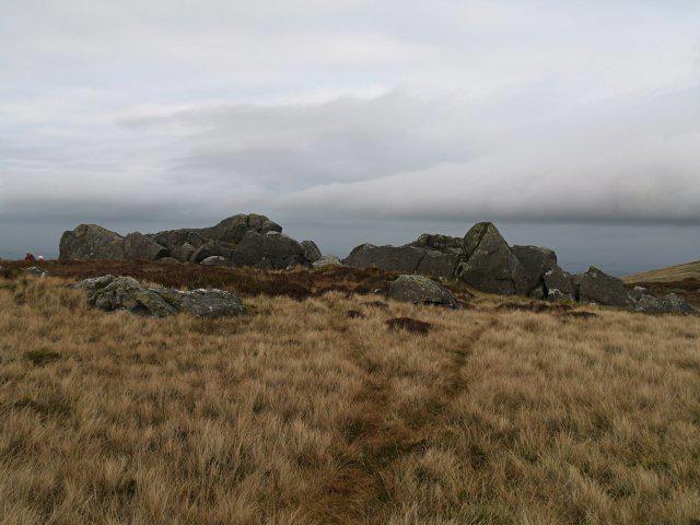 Photo could not load
NY3333 : Rock outcrop, Round Knott
Chris Eilbeck
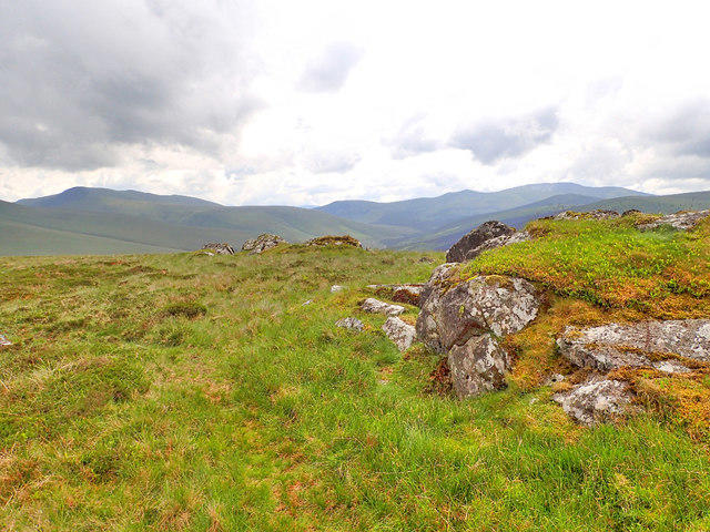 Photo could not load
NY3333 : Gabbro rock outcrop
Mick Garratt
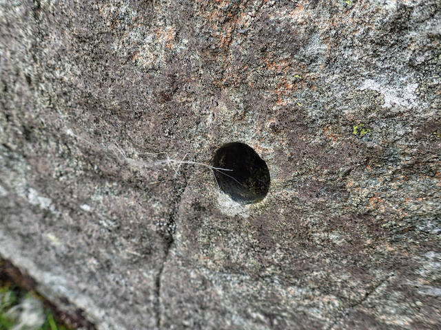 Photo could not load
NY3333 : Rock sampling
Mick Garratt
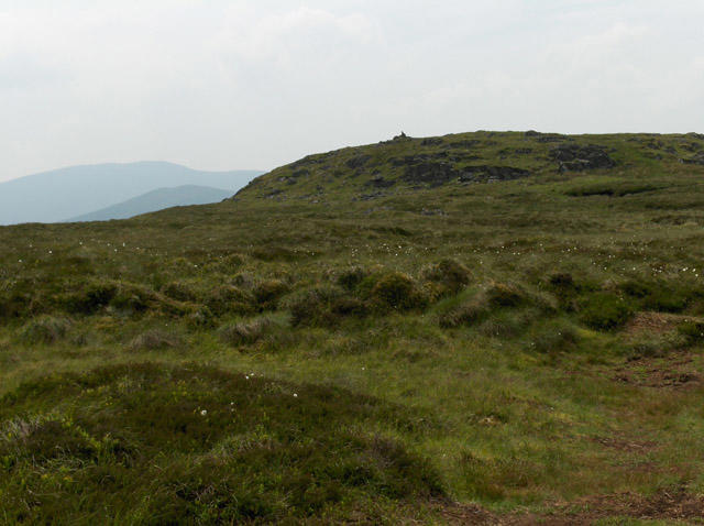 Photo could not load
NY3333 : Round Knott
Andrew Smith
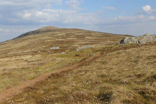
NY3333 : Carrock Fell, Caldbeck
Andrew Smith
Hill facts and local notes
Classifications
Elevation
603m
1,978 ft
Prominence
10m
Coordinates
54.6942, -3.0344
NY334337
OS Map
90
Explorer: OL5N
At the Summit
The summit features a small stone cairn commemorating hikers who have made the journey. There's also a fantastic natural platform that offers splendid views.
Terrain & Geology
Round Knott is primarily composed of volcanic rock, including andesite and basalt, giving it a rugged terrain. The area features typical glacial landforms due to its glacial history.
Views & Scenery
From the summit, hikers can see the majestic Helvellyn range, Ullswater Lake, and even the distant peaks of the Pennines on a clear day.
History & Heritage
Name Origin
The name 'Round Knott' relates to its rounded summit shape, with 'knott' being a term for a small hill or mound in Old Norse.
Historical Significance
Round Knott has historical significance in the local folklore, often referred to in tales by lakeside communities as a mystical place.
Getting There & Facilities
Parking
There is a small car park in Matterdale, approximately a 5-minute walk from the trailhead.
Public Transport
Buses from Penrith to Matterdale run frequently during the tourist season.
Nearby Facilities
There's a lovely local café in Dockray serving homemade cakes and hot beverages, as well as public toilets.
Safety Information
Known Hazards
- Beware of slippery rocks after rainfall. Also, be cautious of sudden weather changes typical in the Lake District, and don't forget the midges in summer!
General Safety Tips
- Check weather conditions before setting out
- Carry appropriate clothing and equipment
- Let someone know your planned route
- Take a map, compass, and GPS device
- Carry emergency supplies: food, water, first aid kit, torch
Hills
Some common questions about the hills answered
Are there group walks up Round Knott?
Many walkers use Walkmates to join or organise walks with others. You can check for group walks around Round Knott through the maps
Are there other walkers around Round Knott?
Activity varies by location and time, but Walkmates lets you see whether others have shared walks or shown interest in this area. Find other people through the walking friends search walking friends for Round Knott search or of course create your own walk for Round Knott
Can I organise a walk to Round Knott?
Yes. If there aren’t any walks listed already, you can create a walk and make it available for others to join.
If you're signed up to Walkmates, you can create a walk to Round Knott.
How do I find a walk up this hill?
There are often multiple ways to walk this hill, depending on experience and route preference. Walkmates helps you explore walks and routes that others have shared.
Can I suggest a new route up Round Knott?
Yes. You can suggest or create routes to share with others. Walkmates focuses on the social side of walking, so routes are used to help people organise walks and explore areas together, rather than as detailed navigation tools or route libraries.
Other uses really appreciate knowledgeable walkers sharing their routes. Share your favourite route to Round Knott here
The is an error or something incorrect about this hill. How do I let you know?
We always strive to keep the information on Walkmates as accurate as possible. If you find an error, please let us know through the contact form and we'll aim to correct it as quickly as possible
Community Discussion
Comments
Location
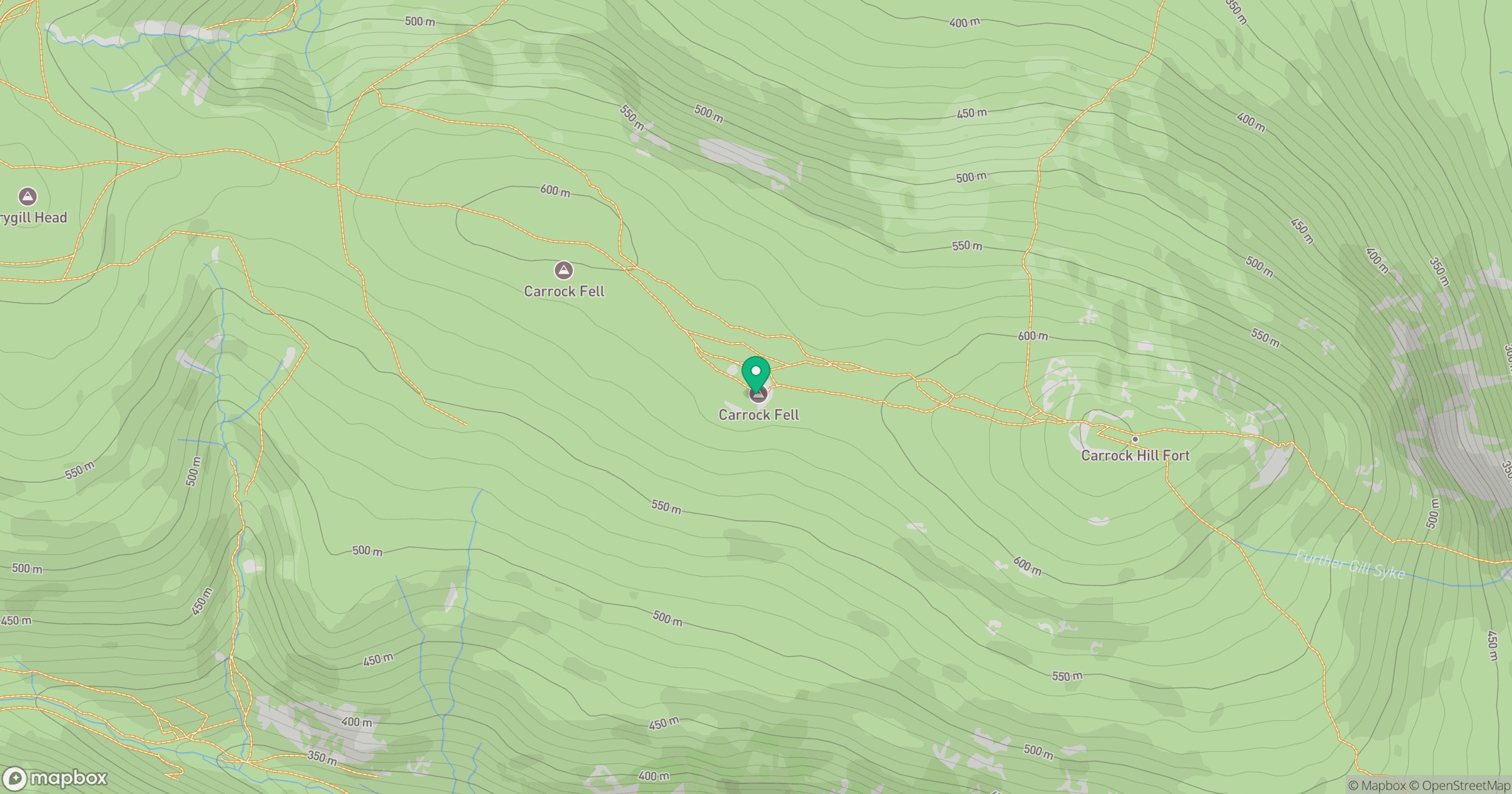
Grid reference: NY334337
View on OpenStreetMapOpens a map in a new tab, centred on the hill.


No comments yet. Be the first.