

Robin Hood's Hills
Good walks are even better shared.
SK5155 : Covered reservoir
David Lally Photo source
Overview
Discovering Robin Hood's Hills
Nestled in the heart of South Yorkshire, Robin Hood's Hills presents an enticing adventure for hikers and outdoor enthusiasts alike. Rising to an elevation of 178 meters, this Marilyn offers a taste of the breathtaking beauty that the Peak District is famous for.
Geology
The underlying geology of Robin Hood's Hills consists primarily of sandstone and limestone. This unique combination provides a rich habitat for various plant species, while also sculpting the landscape into intriguing formations. Don't miss the opportunity to marvel at the natural artistry!
Routes
One of the most popular routes begins at Hartington Road. Over a distance of 5.5 km, this trail is moderately challenging yet perfectly manageable for most hiking enthusiasts. As you navigate through verdant woodlands, you’ll find the ascent becomes a rewarding climb, culminating at the summit, where the views will leave you speechless (and hopefully without knees shaking from the climb!).
Summit Features
Upon reaching the top, you'll be greeted not only by a sturdy trig point marking your achievement but also by a rocky outcrop. Here, you can take a well-deserved breather while soaking in the spectacular panoramas of the surrounding hills and the distant skyline of Sheffield.
Terrain
The terrain is primarily grassy but boasts rocky sections that lend a bit of excitement to the hike—just watch your step if the weather has been damp!
Views
The views from the summit are nothing short of magnificent. On a clear day, hikers can enjoy sights of the rolling hills of the Peak District, along with the urban sprawl of Sheffield. For the best views, spring and autumn are prime seasons, chock-full of vibrant colours and clear skies—perfect for capturing that Instagram moment!
Hazards
While the paths are generally safe, it’s important to be cautious of slippery rocks and the occasional grazing livestock. Keeping an eye on your surroundings will ensure a safe and enjoyable experience.
Nearby Summits
If you’re feeling particularly adventurous, consider visiting nearby summits like Wortley Top and Monkey Park Hill. Each offers its unique charm and adds variety to your outdoor escapades.
Access
Robin Hood's Hills is easily accessible with free parking available on Hartington Road, and public transport options nearby, although they may be limited. The closest town is Penistone, where you can find all necessary facilities before setting off on your adventure.
Facilities
Although there are no facilities directly on the hills, Penistone is just a stone's throw away and provides a selection of cafes, shops, and public toilets. A perfect pitstop after your hike!
History
The intriguing name 'Robin Hood's Hills' ties into the rich folklore surrounding the legendary outlaw, adding an element of whimsy to your hiking tale. This area is steeped in local history, reminding hikers of the bandits and brave souls who once wandered these lands.
In summary, Robin Hood's Hills is an excellent destination for anyone looking to explore the beautiful South Yorkshire countryside, combining stunning views, rich history, and an invigorating climb that’ll make you feel like an effective outlaw (well, a lawful one, of course!) by the time you reach the summit. Enjoy your hike!
Explore routes near Robin Hood's Hills
Walks starting near this hill. Open a route to check its map, distance and full itinerary.
Hardwick Hall: Lady Spencer’s Wood and Upper Park circuit
View route
Alfreton churchyard plants walk
View route
Alfreton spring bird identification walk
View route
Farnsfield to Maythorne on the Southwell Trail
View route
Route planning notes
These notes describe possible approaches. Check a route's map and access information when planning your walk.
Hartington Road to Summit
This moderately challenging route takes you through tranquil woodlands before ascending to the summit where breath-taking views await.
Make a day of it, together
Find someone to share the walk with, or organise a day out along a route you like.
Photo Gallery
View all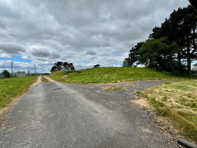 Photo could not load
SK5155 : Covered reservoir
David Lally
Hill facts and local notes
Classifications
Elevation
195m
640 ft
Prominence
41m
Coordinates
53.0961, -1.2354
SK513557
OS Map
120
Explorer: 269 270
At the Summit
The summit is crowned with a well-constructed trig point and a small rocky outcrop offering panoramic views of the surrounding countryside.
Terrain & Geology
The hills predominantly feature sandstone and limestone, creating fascinating rock formations and a varied landscape. This geology contributes to the stunning flora and fauna found in the area.
Views & Scenery
From the top, hikers can spot the rolling hills of the Peak District and the distant cityscape of Sheffield, making it a prime spot for photographs.
History & Heritage
Name Origin
The name 'Robin Hood's Hills' is steeped in local folklore, possibly linked to the legendary Robin Hood, indicating a place of refuge or hiding for outlaws.
Historical Significance
This area has significance in local history, with tales of bandits and the picturesque landscape playing a part in the cultural narrative of the region.
Getting There & Facilities
Parking
There is free parking available at the entrance of Hartington Road, which provides good access to the trailhead.
Public Transport
Buses run from Sheffield to nearby villages, but transport services may be infrequent. A car is recommended for ease of access.
Nearby Facilities
There are no facilities directly on the hills, but Penistone offers various cafes, public toilets, and shops for any needs before and after your hike.
Safety Information
Known Hazards
- Care should be taken on wet or slippery rocks, especially during rainy weather. Additionally, ensure to keep an eye out for livestock that may be grazing nearby.
General Safety Tips
- Check weather conditions before setting out
- Carry appropriate clothing and equipment
- Let someone know your planned route
- Take a map, compass, and GPS device
- Carry emergency supplies: food, water, first aid kit, torch
Hills
Some common questions about the hills answered
Are there group walks up Robin Hood's Hills?
Many walkers use Walkmates to join or organise walks with others. You can check for group walks around Robin Hood's Hills through the maps
Are there other walkers around Robin Hood's Hills?
Activity varies by location and time, but Walkmates lets you see whether others have shared walks or shown interest in this area. Find other people through the walking friends search walking friends for Robin Hood's Hills search or of course create your own walk for Robin Hood's Hills
Can I organise a walk to Robin Hood's Hills?
Yes. If there aren’t any walks listed already, you can create a walk and make it available for others to join.
If you're signed up to Walkmates, you can create a walk to Robin Hood's Hills.
How do I find a walk up this hill?
There are often multiple ways to walk this hill, depending on experience and route preference. Walkmates helps you explore walks and routes that others have shared.
Can I suggest a new route up Robin Hood's Hills?
Yes. You can suggest or create routes to share with others. Walkmates focuses on the social side of walking, so routes are used to help people organise walks and explore areas together, rather than as detailed navigation tools or route libraries.
Other uses really appreciate knowledgeable walkers sharing their routes. Share your favourite route to Robin Hood's Hills here
The is an error or something incorrect about this hill. How do I let you know?
We always strive to keep the information on Walkmates as accurate as possible. If you find an error, please let us know through the contact form and we'll aim to correct it as quickly as possible
Community Discussion
Comments
Location
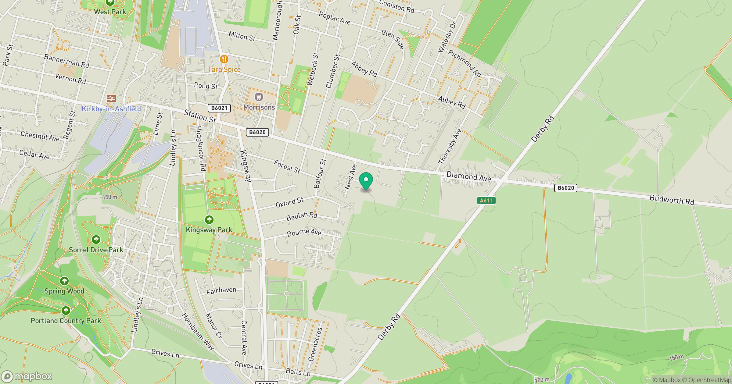
Grid reference: SK513557
View on OpenStreetMapOpens a map in a new tab, centred on the hill.
Nearby Hills

Kinder Scout
636m
The Roaches
505m
Rombalds Moor [Ilkley Moor]
402m

Pendle Hill
557m

The Wrekin
407m
No comments yet. Be the first.