

Orrest Head
Good walks are even better shared.
SD4199 : Arthur Heywood Memorial Stone (1), Orrest Head
David Dixon Photo source
Overview
Orrest Head is a 238 m Wainwright Outlying Fell above Windermere. A blue waymarked return walk reaches the summit viewpoint through Elleray Wood. It has steep sections and is graded Miles without Stiles “For some”; red paths have steps and rougher ground.
Orrest Head above Windermere
Orrest Head is a 238 m Wainwright Outlying Fell above Windermere, with 68 m of prominence. Its rocky top and woodland approaches make a short hill outing close to town. The Database of British and Irish Hills identifies the highest point as a rock just north-northeast of a stone seat; its lower view indicator is about 30 m west of the summit.
The blue summit route
Start at the signed lane off the A591 near Windermere station, SD 41284 98743. Follow the blue waymarkers through Elleray Wood to the summit viewpoint and return the same way. The National Park route is 3.5 km return, with 120 m of ascent and a guide time of 1 hour.
The blue route is graded Miles without Stiles “For some”. The initial slope reaches 1:4: suitable all-terrain equipment, a full battery and the ability to handle steep gradients matter. Mobility scooters must be class 2 or 3. Red paths and the wildlife sculpture trail include steps or rougher ground. Read the accessibility grades before choosing a route. Reaching the landscaped viewpoint does not establish step-free access onto every summit rock.
A longer return walk
The National Trust’s full Windermere–Townend walk is 12.8 km. From the station it crosses Orrest Head, continues through Causeway and Far Orrest to Townend, then returns via Troutbeck, Dubbs Road, Moorhowe Road and Orrest Head. This moderate walk includes stiles, fields, road crossings and a steep rocky climb. Keep dogs on leads around livestock. It is a different undertaking from the blue summit outing.
Arriving and taking a break
Windermere station has train and bus connections. Paid parking is available at the station and Broad Street; check the signs for current terms. Station toilets are available during booking-office hours. Broad Street also has public toilets, and Windermere has cafés and shops.
Why this viewpoint matters
The panorama takes in Windermere and the surrounding Lakeland fells. Compass seating provides a place to pause. Alfred Wainwright climbed Orrest Head on his first visit to the Lake District in 1930; the view profoundly influenced him, as recorded by the Wainwright Society.
Wear footwear with good grip on wet slopes and rocks. Check route notices after bad weather and allow for the return before dark.
Explore routes near Orrest Head
Walks starting near this hill. Open a route to check its map, distance and full itinerary.
Tarn Hows Fast Route
View route
Coniston to Tarn Hows: Monk Coniston Gardens and Woodland Circuit
View route
Great Carrs Halifax Wreckage from Wrynose Pass
View route
Sizergh: Park End Moss and Brigsteer Park Wood Circuit
View route
Route planning notes
These notes describe possible approaches. Check a route's map and access information when planning your walk.
Orrest Head blue route from Windermere (return)
From the signed A591 lane near Windermere station (SD 41284 98743), follow blue waymarkers through Elleray Wood to the summit viewpoint; return the same way. LDNPA: 3.5 km return, 120 m ascent, 1 hour. MWS For some: the first slope reaches 1:4. Red paths have steps; suitable all-terrain equipment is essential for mobility users.
Windermere–Townend via Orrest Head (full return)
National Trust full return walk: Windermere station–Orrest Head–Causeway Farm–Far Orrest–Townend, returning via Troutbeck, Dubbs Road and reservoir, Moorhowe Road and Causeway Farm, then over Orrest Head to the station. Rough and steep tracks, stiles, road crossings and livestock fields; dogs on leads. The shorter 6.4 km option ends at Townend.
Make a day of it, together
Find someone to share the walk with, or organise a day out along a route you like.
Photo Gallery
View all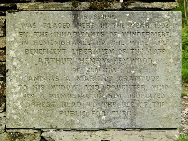 Photo could not load
SD4199 : Arthur Heywood Memorial Stone (1), Orrest Head
David Dixon
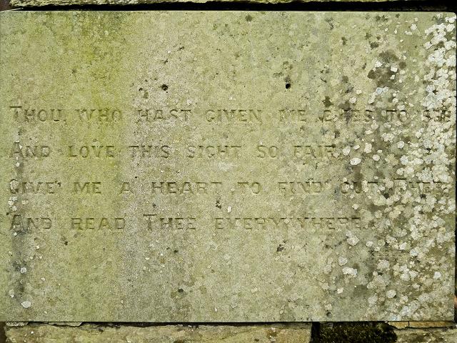 Photo could not load
SD4199 : Arthur Heywood Memorial Stone (2), Orrest Head
David Dixon
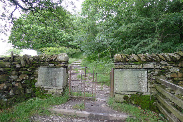 Photo could not load
SD4199 : Entrance to Orrest Head access land
Tim Heaton
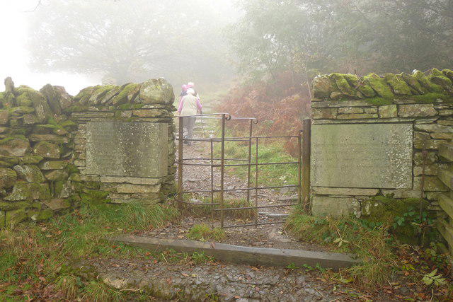 Photo could not load
SD4199 : Gate on Orrest Head, Windermere
Peter Trimming
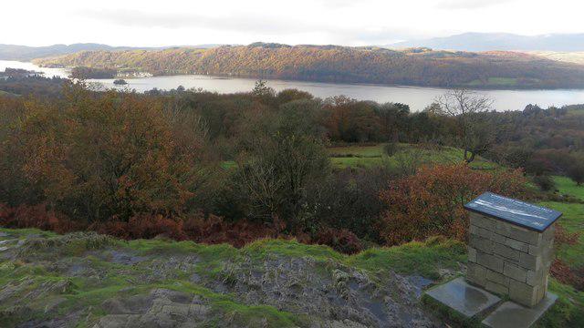 Photo could not load
SD4199 : Looking west from Orrest Head
Graham Robson
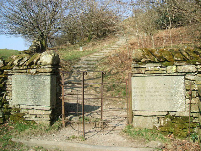 Photo could not load
SD4199 : Memorial stones on Orrest Head
David Brown
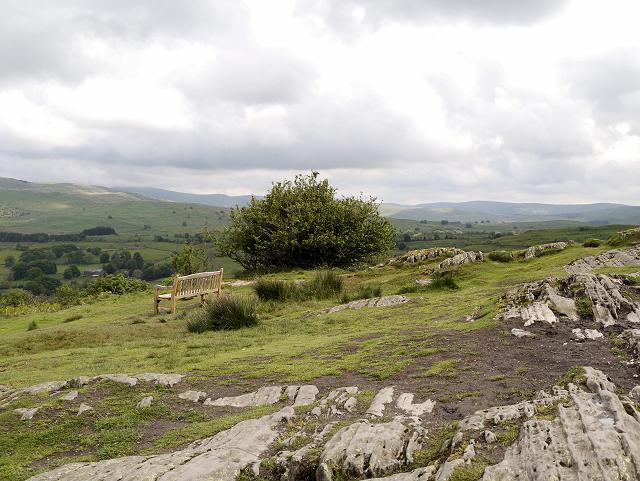 Photo could not load
SD4199 : The Summit of Orrest Head
David Dixon
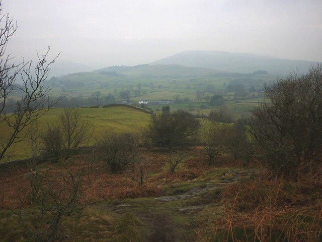 Photo could not load
SD4199 : Footpath north of Orrest Head
Karl and Ali
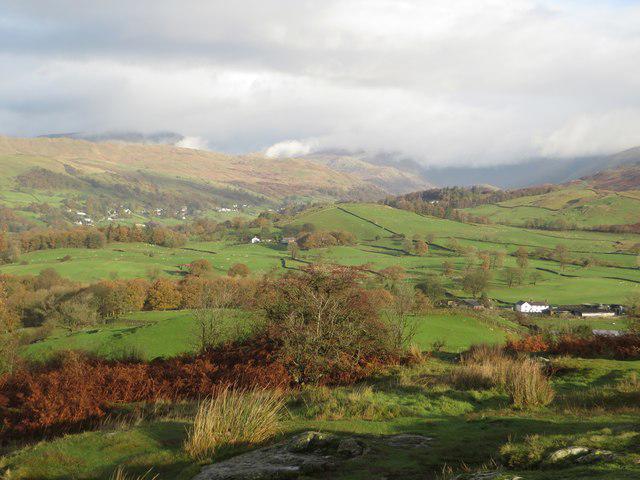 Photo could not load
SD4199 : Looking north from Orrest Head
Graham Robson
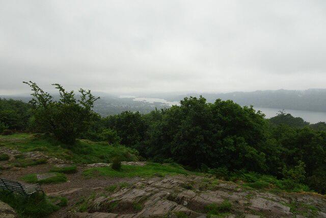
SD4199 : South end of Windermere from Orrest Head
DS Pugh
Hill facts and local notes
Classifications
Elevation
238m
781 ft
Prominence
68m
Coordinates
54.3863, -2.9035
SD414993
OS Map
96 97
Explorer: OL7N
At the Summit
Rock 1 m north-northeast of the stone seat marks the highest point in DoBIH. Its recorded view indicator is about 30 m west and lower. The summit area also has compass seating; the landscaped viewpoint and the highest rock should not be treated as identical accessibility destinations.
Terrain & Geology
Views & Scenery
Views over Windermere and the surrounding Lakeland fells, with parts of the Kentmere horseshoe visible from the summit area in clear weather.
History & Heritage
Historical Significance
Alfred Wainwright climbed Orrest Head on his first Lake District visit in 1930. The view was a formative experience that helped shape his later life and writing about the fells.
Getting There & Facilities
Parking
Paid parking is available at Windermere station and Broad Street, Windermere LA23 2AB. Broad Street has disabled bays. Use signed public parking rather than the uphill access lane; check current charges and restrictions on arrival. The blue route starts at SD 41284 98743 near the station.
Public Transport
Windermere railway station is close to the signed Orrest Head lane. Trains connect with Kendal and Oxenholme; buses at the station serve destinations including Bowness, Ambleside and Kendal. Check current timetables before travelling.
Nearby Facilities
Windermere has cafés and shops. Public toilets are listed at Broad Street. Windermere station has toilets, accessible toilets and baby changing, available during booking-office hours. Benches are provided along the blue route and at the summit viewpoint.
Safety Information
Known Hazards
- The initial blue-route slope reaches 1:4; its Miles without Stiles grade is For some, requiring suitable equipment and confidence on steep ground.
- Red paths and the wildlife sculpture trail include steps, steep slopes or soft ground and do not share the blue route’s accessibility.
- Wet paths and summit rocks can be slippery. Check route notices after bad weather.
- Longer routes towards Townend cross fields with livestock and busy roads, with stiles and steep rocky tracks. Keep dogs on leads around stock.
General Safety Tips
- Check weather conditions before setting out
- Carry appropriate clothing and equipment
- Let someone know your planned route
- Take a map, compass, and GPS device
- Carry emergency supplies: food, water, first aid kit, torch
Hills
Some common questions about the hills answered
Are there group walks up Orrest Head?
Many walkers use Walkmates to join or organise walks with others. You can check for group walks around Orrest Head through the maps
Are there other walkers around Orrest Head?
Activity varies by location and time, but Walkmates lets you see whether others have shared walks or shown interest in this area. Find other people through the walking friends search walking friends for Orrest Head search or of course create your own walk for Orrest Head
Can I organise a walk to Orrest Head?
Yes. If there aren’t any walks listed already, you can create a walk and make it available for others to join.
If you're signed up to Walkmates, you can create a walk to Orrest Head.
How do I find a walk up this hill?
There are often multiple ways to walk this hill, depending on experience and route preference. Walkmates helps you explore walks and routes that others have shared.
Can I suggest a new route up Orrest Head?
Yes. You can suggest or create routes to share with others. Walkmates focuses on the social side of walking, so routes are used to help people organise walks and explore areas together, rather than as detailed navigation tools or route libraries.
Other uses really appreciate knowledgeable walkers sharing their routes. Share your favourite route to Orrest Head here
The is an error or something incorrect about this hill. How do I let you know?
We always strive to keep the information on Walkmates as accurate as possible. If you find an error, please let us know through the contact form and we'll aim to correct it as quickly as possible
Community Discussion
Comments
Location
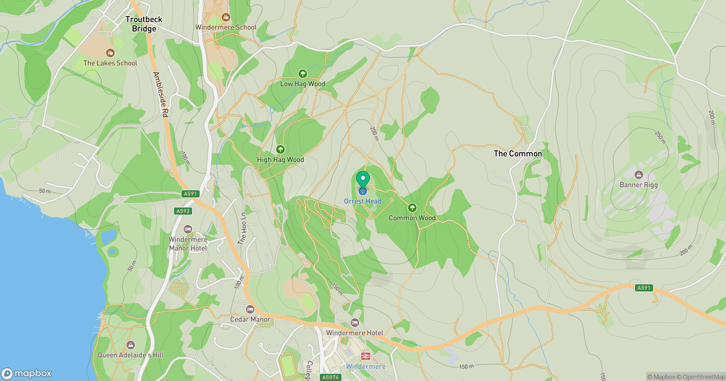
Grid reference: SD414993
View on OpenStreetMapOpens a map in a new tab, centred on the hill.

No comments yet. Be the first.