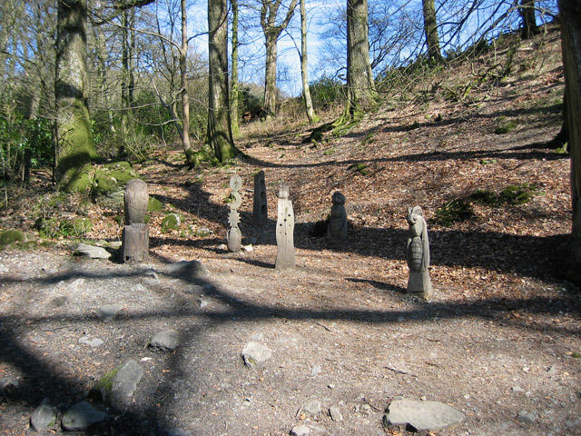
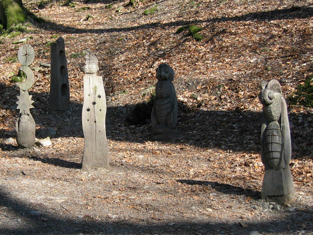
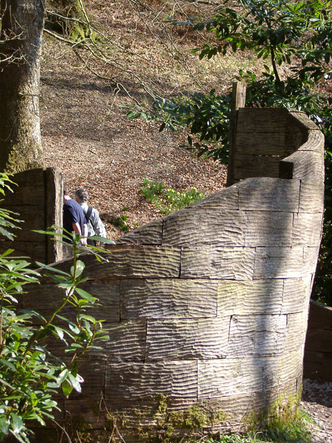
Explore both sides of Grizedale Forest on the full Silurian Way walking trail. Starting in the visitor-centre courtyard, the circuit climbs through the western forest towards Carron Crag, then heads south through quieter woodland near Wood Moss Tarn. After the Force Mills crossing, it works north through the eastern forest and around Grizedale Tarn before returning to the visitor centre. Sculptures, changing woodland and glimpses of the surrounding Lakeland hills give the long circuit plenty of variety. Our complete mapped line is about 20 km. Allow a full day, around 7 hours plus longer stops, and expect repeated climbs, descents and uneven, muddy or rooty paths as well as forest roads. Follow the white walking waymarks, including shared sections of other walking trails. Take care at road crossings and keep dogs under control. Check forestry notices and any rally closures before travelling.
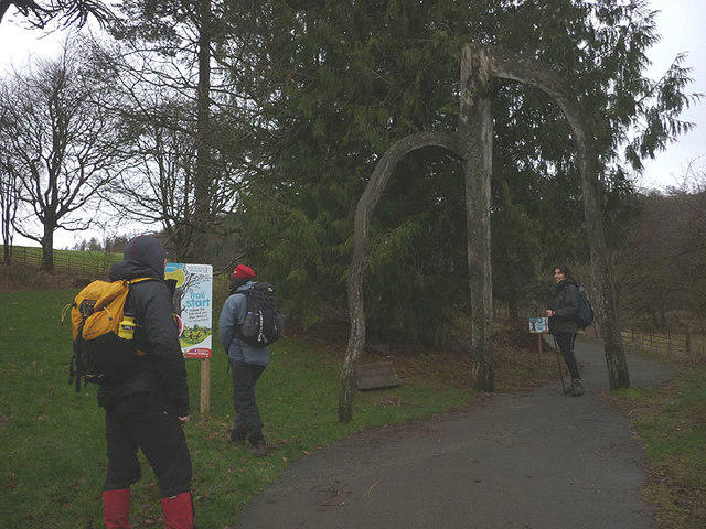
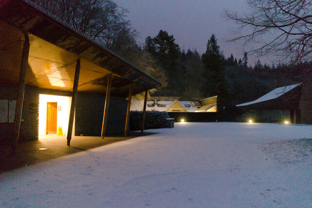
Start and parking: Begin at the west-side path junction in the Grizedale visitor-centre courtyard, near Hawkshead, LA22 0QJ. Main parking is approximately 150 m away via a signed path with a public-road crossing; follow visitor-centre signs before starting. This is the white-marked walking Silurian Way, distinct from the orange Silurian Gravel cycle route and the older 16 km leaflet.
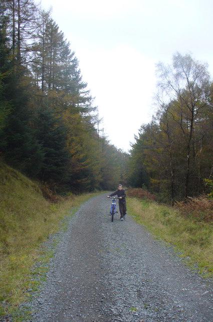
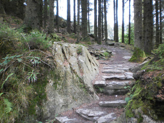
Access and conditions: Expect repeated climbs and descents, rough or muddy paths, bridleways, forest tracks and short surfaced visitor approaches. The line includes about 105 m of steps and roughly 1 km of very rough gravel or rock on Moor Lane public bridleway. Strong footwear is important. Some walking-designated bridleway sections also carry mountain-bike difficulty tags because they are shared routes. No dedicated technical downhill or invented summit extension is included. Give other forest users space.
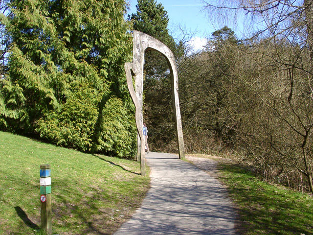
Follow the white walking waymarks through Carron Crag and around the full Grizedale Tarn sector; alternating white and teal marks indicate shared walking-trail sections. Use the mapped public bridleway through Farra Grain Higher and Lower Bridges and the Force Mills road crossing. Take care at every road crossing, including the car-park approach. The final courtyard approach follows the mapped edge of the open pedestrian area; your natural walking line across the courtyard may be slightly shorter. Keep dogs under control and obey any signed local lead requirements.
Visitor information: Main and Kennels parking is paid by ANPR on exit. The tariff checked on 22 October 2026 was free for 20 minutes, £2.90 for the first hour, then £0.70 per 15 minutes up to £14 all day. Card machines and online payment within 48 hours are available; cash may be paid in the visitor centre while open. Relevant Forestry England or Grizedale membership benefits apply. Verify current terms before travel. Car parks, trails and toilets normally open daily unless severe weather; overnight stays are not allowed. Visitor-centre, shop and café hours vary seasonally. Carry food, water and weather protection.
Distance and timing: The current Forestry England page and March 2026 walking map state 18 km and 6 hours. The complete mapped line measures 19.941 km, about 1.94 km longer. Independent comparison retained the full official topology, including the entire northern tarn loop; the discrepancy remains disclosed. Plan for about 20 km and around 7 hours plus longer stops.
Information was checked on 22 October 2026. No matching current closure was found on the checked Forestry England page or Lake District National Park current/proposed closure and known bridge-problem lists. This is not a field inspection or live access clearance. Annual Grizedale Stages rally closures usually occur in early December; exact 2026 dates and affected sections were not established. Check forest and event notices before travelling.
Official route and visitor sources: https://www.forestryengland.uk/grizedale/silurian-way-grizedale https://www.forestryengland.uk/sites/default/files/documents/Grizedale%20walking%20trails%20web%20map%20(Mar%2026).pdf https://www.forestryengland.uk/grizedale https://www.forestryengland.uk/grizedale/access-information
Route geometry: © OpenStreetMap contributors, licensed under ODbL 1.0. https://www.openstreetmap.org/copyright