

Mouselow Castle
Good walks are even better shared.
SK0295 : Wind-blown beech tree
David Lally Photo source
Overview
Mouselow Castle
Situated in the heart of the Peak District, Mouselow Castle stands proudly at an elevation of 367 meters. Though it may not be the tallest kid on the block, its charm lies in its rugged beauty and captivating landscapes.
Geography and Geology
Mouselow Castle is part of a limestone plateau, showcasing the geological wonders of the Peak District. The area is studded with limestone outcrops that tell a story millions of years in the making. Hikers will delight in the unique rock formations that can be found along the trail.
Routes
The popular Mouselow Castle Circular Route offers a fantastic way to explore this area. Starting from the quaint village of Whaley Bridge, this 7.5 km journey leads you through picturesque countryside while treating your eyes to magnificent views. It’s a moderate route, perfect for those looking to stretch their legs without ascending Everest.
Summit Features
At the summit, hikers are greeted by not just a rocky outcrop, but a feast for the eyes! Enjoy panoramic views, including nearby Kinder Scout which boasts its own reputation for grandeur. Keep your eyes peeled for historical remains scattered around, providing snapshots of a rich past.
Terrain
Expect a varied terrain of grassland, rocky patches, and perhaps the occasional bog. Do wear sturdy shoes; you wouldn’t want to do the muddy cha-cha!
Views
The highlights from Mouselow Castle are truly captivating, especially on clear days. The sight of Kinder Scout to the west and the local reservoirs gleaming in the sunlight makes every step worth it. Spring and autumn are particularly appealing times to visit; you’ll be greeted with glorious views and colourful scenery.
Hazards
As with any outdoor venture, be mindful of changing weather conditions. Paths can become slippery, especially after rain. Always best to bring an extra layer, just in case the Peak District decides to have a surprise shower!
Nearby Summits
Just down the road are Kinder Scout and Shining Tor, both offering their own views and challenges. Why not add a couple of extra miles to your adventure?
Access
Parking is a straightforward affair, with ample space at Whaley Bridge. If public transport is more your style, hop on a train to the Whaley Bridge station; it’s a short stroll to the start of your hike!
Facilities
After your hike, you’re in luck! Whaley Bridge has a selection of cafes and pubs to refuel; a well-deserved meal is a perfect way to wrap up your day.
History
The name 'Mouselow' possibly recalls an ancient time, reflecting the unique legacy of the area. It’s a place steeped in local folklore and history, making it not just a feast for the eyes but also for the mind.
Conclusion
In summary, Mouselow Castle is a hidden gem waiting for you to discover! Whether you’re looking to take a leisurely stroll, challenge yourself, or simply bask in nature’s beauty, Mouselow is the place to be. So lace up your boots, grab a snack, and let the adventures begin!
Explore routes near Mouselow Castle
Walks starting near this hill. Open a route to check its map, distance and full itinerary.
Longdendale Trail: Hadfield to Woodhead and back
View route
Old Glossop and Bleaklow Head Circular with B-29 Crash Site
View route
Mill Hill Liberator Wreckage via Harry Hut
View route
Edale and Castleton circuit
View route
Route planning notes
These notes describe possible approaches. Check a route's map and access information when planning your walk.
Mouselow Castle Circular Route
A delightful circular walk starting from the village of Whaley Bridge, encompassing stunning views and a pleasant countryside aesthetic.
Make a day of it, together
Find someone to share the walk with, or organise a day out along a route you like.
Photo Gallery
View all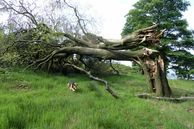 Photo could not load
SK0295 : Wind-blown beech tree
David Lally
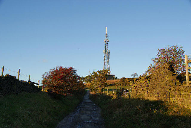 Photo could not load
SK0295 : Lane on Mouselow
Bill Boaden
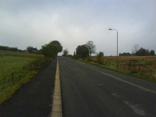 Photo could not load
SK0395 : North Road, Glossop
Benjamin Hopkins
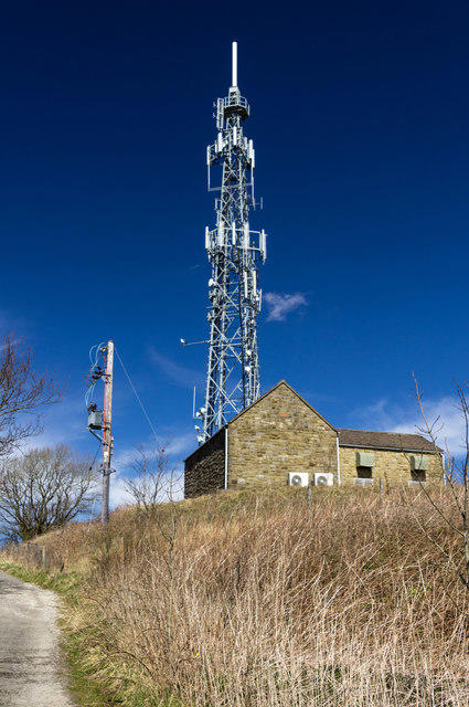 Photo could not load
SK0295 : Castlehill
Peter McDermott
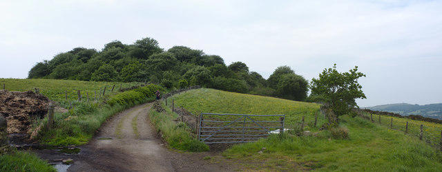 Photo could not load
SK0295 : Mouselow Castle mound
Bob Harvey
Hill facts and local notes
Classifications
Elevation
280m
918 ft
Prominence
40m
Coordinates
53.4562, -1.9592
SK028954
OS Map
110
Explorer: OL1W
At the Summit
The summit is marked by a prominent rocky outcrop and offers breathtaking views of the surrounding countryside. Look out for the remnants of ancient structures that pique the interest of history buffs.
Terrain & Geology
The Peak District is renowned for its limestone geology. Mouselow Castle is no exception, with limestone outcrops contributing to its rugged charm and fascinating natural features.
Views & Scenery
From the summit, you can spot the impressive Kinder Scout to the west, as well as the serene waters of the nearby reservoirs.
History & Heritage
Name Origin
The name 'Mouselow' is thought to derive from Old English, meaning 'mousely low', likely reflecting its status in bygone days.
Historical Significance
Mouselow Castle has a rich history tied to the area, including ancient fortifications. It is a popular site for local folklore.
Getting There & Facilities
Parking
Parking is available at the small car park in Whaley Bridge, approximately 2 km from the start of the circular route.
Public Transport
The nearest train station is Whaley Bridge, with regular Northern Rail services connecting it to Manchester and Buxton.
Nearby Facilities
Public toilets are available in Whaley Bridge. There are also a couple of charming cafes and pubs nearby, perfect for a post-hike treat.
Safety Information
Known Hazards
- Variable weather conditions can cause slippery paths; caution is advised especially when it rains.
General Safety Tips
- Check weather conditions before setting out
- Carry appropriate clothing and equipment
- Let someone know your planned route
- Take a map, compass, and GPS device
- Carry emergency supplies: food, water, first aid kit, torch
Hills
Some common questions about the hills answered
Are there group walks up Mouselow Castle?
Many walkers use Walkmates to join or organise walks with others. You can check for group walks around Mouselow Castle through the maps
Are there other walkers around Mouselow Castle?
Activity varies by location and time, but Walkmates lets you see whether others have shared walks or shown interest in this area. Find other people through the walking friends search walking friends for Mouselow Castle search or of course create your own walk for Mouselow Castle
Can I organise a walk to Mouselow Castle?
Yes. If there aren’t any walks listed already, you can create a walk and make it available for others to join.
If you're signed up to Walkmates, you can create a walk to Mouselow Castle.
How do I find a walk up this hill?
There are often multiple ways to walk this hill, depending on experience and route preference. Walkmates helps you explore walks and routes that others have shared.
Can I suggest a new route up Mouselow Castle?
Yes. You can suggest or create routes to share with others. Walkmates focuses on the social side of walking, so routes are used to help people organise walks and explore areas together, rather than as detailed navigation tools or route libraries.
Other uses really appreciate knowledgeable walkers sharing their routes. Share your favourite route to Mouselow Castle here
The is an error or something incorrect about this hill. How do I let you know?
We always strive to keep the information on Walkmates as accurate as possible. If you find an error, please let us know through the contact form and we'll aim to correct it as quickly as possible
Community Discussion
Comments
Location
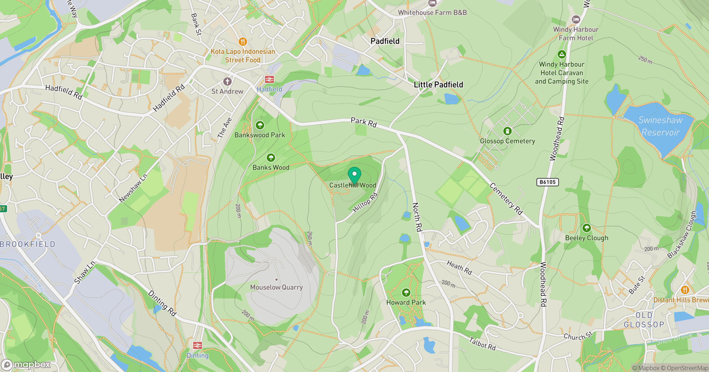
Grid reference: SK028954
View on OpenStreetMapOpens a map in a new tab, centred on the hill.
Nearby Hills

Kinder Scout
636m
The Roaches
505m
Rombalds Moor [Ilkley Moor]
402m

Pendle Hill
557m
Winter Hill
456m
No comments yet. Be the first.