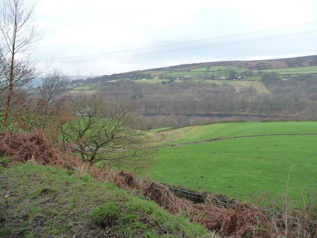
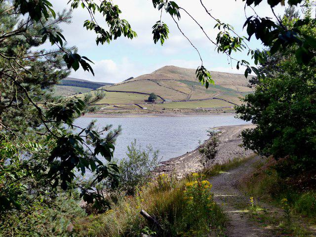
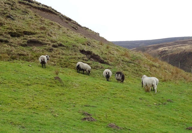
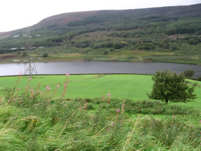
Image shared for Longdendale Trail: Hadfield to Woodhead and back
Countryside Out & back

Longdendale Trail: Hadfield to Woodhead and back

Walk

Derbyshire

Distance
12.9 mi
Est. time
6h
Difficulty
Medium
PaulWalkmates Route by PaulWalkmates

Save the route to find it later. Follow it to hear when a date is added.

About this walk

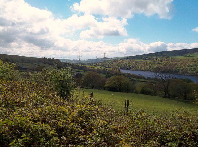
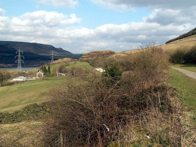
Begin at the Longdendale Trail car park off Platt Street in Hadfield. Follow the signed former Woodhead railway east through the Longdendale valley, with views over Bottoms, Valehouse, Rhodeswood and Torside reservoirs. Continue through the former station area at Crowden to the trail end beside the closed Woodhead tunnels. Turn here and retrace the same trail all the way to Hadfield. This route includes the complete outward and return walk; the tunnels themselves are closed to public access.

This is a long day on a broad, mostly level shared trail, with a gradual climb on the outward leg and the reverse on the return. Allow around six hours including short stops. Compacted surfaces can have loose stones, puddles and muddy edges. Take care at the B6105 crossing and give space to cyclists and horse riders. Bring food, water and weatherproof clothing, as the upper valley is exposed to wind and facilities are limited away from Hadfield. Shops and cafes are available in Hadfield. Use the public trail car park and check the parking signs before setting off. Remain on the railway trail at junctions rather than taking the steeper moorland paths.

Walk details

County
Derbyshire
Walk type
Out & back
Category
Countryside
Distance
12.9 mi (20.8 km)
Est. time
6h
Explorer
Yes, off the beaten track

Route map

Use the route details to plan your walk

If the map image does not load, the route description and starting-point details are still on this page.

The interactive map will load when you reach this section.

Where to start

Directions to start

Walking on your own?

Start when you're ready and add the walk to your history. No group date needed.

This walk is waiting for a date

Not ready to pick a date? Follow it and you'll hear when somebody else does.

No commitment. You can follow it now and pick a date later.

Along the route

7 places
Walking Guidepost
Guidepost
Longdendale Trail Entrance
Information · 0.0 mi along
Longdendale Trail Car Park
Parking · 0.0 mi along
Bottoms Reservoir Viewpoint
Information · 0.4 mi along
Parking
Essentials · 2.5 mi along
Parking
Essentials · 4.4 mi along
Woodhead Tunnels
Parking · 6.5 mi along

Terms of Service

Joining a walk

A few things to know before you make plans.

Can I join if no one else is going?

You can be the first to join a scheduled walk. A suggested date is an idea for a group walk; choose Set this date up to organise it. Check the participant list and meeting details before setting off.

What if there is no date yet?

Choose Put a date on this walk to organise a group walk. Not ready to choose a day? Follow the route for scheduling updates, or save it for later.

What does the organiser do?

The organiser sets the date and meeting details and helps the group get started. They are a fellow walker and may be new to the route too.

Each walker is responsible for their own safety and navigation. Check the route, weather, equipment and whether the walk suits your experience and fitness.

Can I walk this route on my own?

Yes. Choose Walk this route on your own to open the start screen, then start when you are ready. Finish the walk to add it to your walking history. You do not need a group date.

What happens after I join?

Use the walk page to check meeting details, updates and who is going. Check in from 24 hours before the start to let the group know you still plan to come.

How do I confirm plans with the group?

Check the participant list and check-ins, and message the organiser or other walkers to confirm where to meet and who is coming. This is especially useful when the group is small.
