

Moel Ysgyfarnogod
Good walks are even better shared.
SH6534 : Looking towards the summit crags of Foel Penolau
David Medcalf Photo source
Overview
Moel Ysgyfarnogod: A Hidden Gem in Snowdonia National Park
Nestled in the heart of Snowdonia National Park, Moel Ysgyfarnogod is a delightful Marilyn that often flies under the radar compared to its bigger siblings. Don't let its humility fool you, though—this mountain packs a punch when it comes to scenic views and rugged terrain.
Geology
The geology of Moel Ysgyfarnogod is fascinating, formed predominantly from andesite and basalt, the remnants of volcanic activity from ages long past. These rocks provide not just a solid footing for hikers but also a glimpse into the dynamic processes that shaped this beautiful region. Watch your step though; those rocks can be slicker than a politician in an election year.
Routes
One of the most popular routes begins at Llanwrst, where you can park your car and set off toward the hills. The trail winds through picturesque forests and by babbling brooks before presenting you with the challenging ascent. At 8 km round trip, it's a satisfying challenge that can usually be tackled in about 3 hours.
Summit Features
Upon reaching the summit, you'll be greeted by a charming stone cairn, a reminder of the many adventurers who have tread the same path. There’s also a rocky outcrop—perfect for a quick summit selfie!
Terrain Type
The terrain is a delightful mix of grassy slopes, rocky challenges, and the occasional boggy bits that give you a taste of classic Welsh hiking. Bring sturdy boots and a sense of humour—especially when negotiating the squelchy areas!
Views
From the summit, you’ll be treated to sweeping vistas that encompass the Carneddau mountains and the lush Conwy Valley. On a clear day, it's like the whole of Snowdonia is laid out at your feet. The best views can be enjoyed in spring and autumn, when the weather tends to behave itself and the landscape is at its most vibrant.
Hazards
While the route is generally safe, be aware of the changeable weather that can occur, especially at altitude. Slippery rocks and mud can make for a memorable (and possibly comical) outing, so tread carefully!
Access and Facilities
You can easily access Moel Ysgyfarnogod from Llanwrst, where parking is available. Public transport is also handy, with regular buses connecting from nearby towns.
Llanwrst offers a variety of cafes and facilities, so make sure to grab a slice of cake or a hot drink before or after your hike. You’ve earned it!
History
The name Moel Ysgyfarnogod translates to 'Hill of the Hares', likely suggesting its historical role as a haven for wildlife. It's part of the cultural fabric of the area, steeped in local lore and a must-visit for any keen walker.
Conclusion
So, if you’re looking for a hike that combines history, stunning views, and a dash of geological intrigue, set your sights on Moel Ysgyfarnogod. Just remember—like the mountain itself, your memories of the hike will be steeped in adventure!
Happy hiking!
Explore routes near Moel Ysgyfarnogod
Walks starting near this hill. Open a route to check its map, distance and full itinerary.
Northern Rhinogydd guided mountain walk
View route
Coed y Brenin: Pont Ty'n-y-groes and Mawddach Forest Trail
View route
Mawddach Trail: Penmaenpool to Arthog Estuary Return
View route
Mawddach Trail: Penmaenpool to Dolgellau Riverside Return
View route
Route planning notes
These notes describe possible approaches. Check a route's map and access information when planning your walk.
Llanwrst to Moel Ysgyfarnogod
A scenic route starting at Llanwrst, winding through lush forests and past streams before ascending steeply to the summit.
Make a day of it, together
Find someone to share the walk with, or organise a day out along a route you like.
Photo Gallery
View all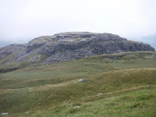 Photo could not load
SH6534 : Looking towards the summit crags of Foel Penolau
David Medcalf
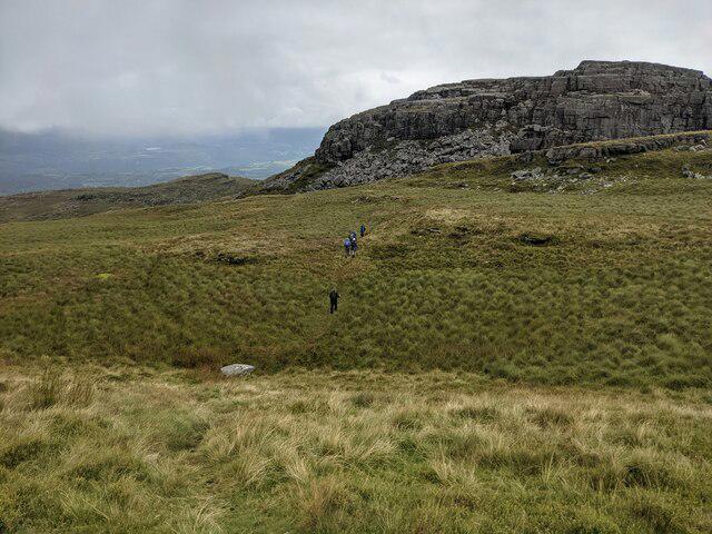 Photo could not load
SH6534 : Looking towards Moel Penolau
David Medcalf
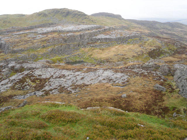 Photo could not load
SH6534 : Northern rhinogs ridge
Peter S
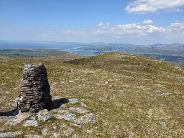 Photo could not load
SH6534 : A trig point with a view
David Medcalf
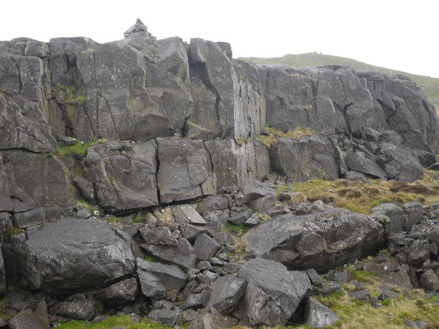 Photo could not load
SH6534 : Foel Penolau and Moel Ysgafarnogod
Peter S
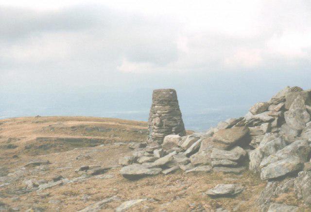 Photo could not load
SH6534 : Triangulation Pillar on the Summit of Moel Ysgyfarnogod
Eric Jones
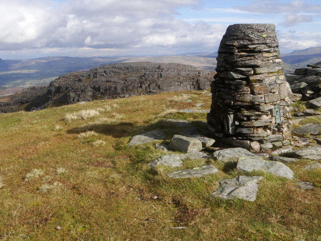 Photo could not load
SH6534 : Trig point on Moel Ysgyfarnogod
Arthur C Harris
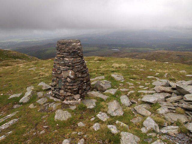 Photo could not load
SH6534 : Trig Point, Moel Ysgyfarnogod
Chris Andrews
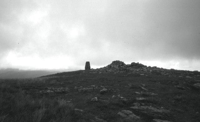 Photo could not load
SH6534 : Summit, Moel Ysgyfarnogod
Richard Webb
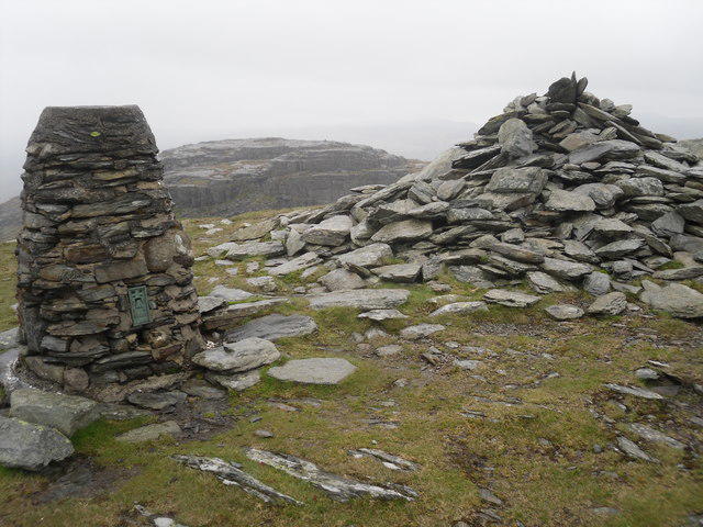
SH6534 : Summit of Moel Ysgafarnogod
Peter S
Hill facts and local notes
Classifications
Elevation
623m
2,044 ft
Prominence
182m
Coordinates
52.8920, -3.9956
SH658345
OS Map
124
Explorer: OL18W
At the Summit
The summit is crowned with a stone cairn and offers a rocky outcrop to perch upon while admiring the views.
Terrain & Geology
Predominantly composed of volcanic rocks, particularly andesite and basalt, which give the terrain a rugged and dramatic appearance.
Views & Scenery
Sweeping views of the Carneddau mountains, Conwy Valley, and even Snowdonia’s iconic peaks on a clear day.
History & Heritage
Name Origin
The name Moel Ysgyfarnogod translates to 'Hill of the Hares', possibly indicative of the local wildlife.
Historical Significance
Historically, it has been a popular site for local walks and is part of the lore surrounding the surrounding area.
Getting There & Facilities
Parking
Parking is available at the northern end of the village of Llanwrst, with room for several vehicles.
Public Transport
Regular bus services from major towns like Conwy and Betws-y-Coed stop in Llanwrst.
Nearby Facilities
Llanwrst has several cafes, restaurants, and public toilets available for hikers before and after their adventure.
Safety Information
Known Hazards
- Variable weather conditions, especially at higher altitudes. Watch out for slippery rocks and muddy patches.
General Safety Tips
- Check weather conditions before setting out
- Carry appropriate clothing and equipment
- Let someone know your planned route
- Take a map, compass, and GPS device
- Carry emergency supplies: food, water, first aid kit, torch
Hills
Some common questions about the hills answered
Are there group walks up Moel Ysgyfarnogod?
Many walkers use Walkmates to join or organise walks with others. You can check for group walks around Moel Ysgyfarnogod through the maps
Are there other walkers around Moel Ysgyfarnogod?
Activity varies by location and time, but Walkmates lets you see whether others have shared walks or shown interest in this area. Find other people through the walking friends search walking friends for Moel Ysgyfarnogod search or of course create your own walk for Moel Ysgyfarnogod
Can I organise a walk to Moel Ysgyfarnogod?
Yes. If there aren’t any walks listed already, you can create a walk and make it available for others to join.
If you're signed up to Walkmates, you can create a walk to Moel Ysgyfarnogod.
How do I find a walk up this hill?
There are often multiple ways to walk this hill, depending on experience and route preference. Walkmates helps you explore walks and routes that others have shared.
Can I suggest a new route up Moel Ysgyfarnogod?
Yes. You can suggest or create routes to share with others. Walkmates focuses on the social side of walking, so routes are used to help people organise walks and explore areas together, rather than as detailed navigation tools or route libraries.
Other uses really appreciate knowledgeable walkers sharing their routes. Share your favourite route to Moel Ysgyfarnogod here
The is an error or something incorrect about this hill. How do I let you know?
We always strive to keep the information on Walkmates as accurate as possible. If you find an error, please let us know through the contact form and we'll aim to correct it as quickly as possible
Community Discussion
Comments
Location
View the hill's mapped position and surrounding paths.
Grid reference: SH658345
View on OpenStreetMapOpens a map in a new tab, centred on the hill.
No comments yet. Be the first.