

Moel Fferna
Good walks are even better shared.
SJ1139 : The summit plateau of Moel Fferna and the view SW towards the main Berwyn ridge
Eric Jones Photo source
Overview
Moel Fferna
Moel Fferna may not be the tallest kid on the block in Snowdonia, but this Marilyn is packed with charm and incredible views.
Geology
The geological composition of Moel Fferna tells a story of volcanic activity from ages past. Consisting mainly of remnants from ancient lava flows, the rocky faces showcase layers that are both a delight for geologists and an alluring landscape for hikers.
Routes
A popular route is the Moel Fferna Circular, which spans about 8.5 km and takes roughly 3.5 hours. This option is perfect for those wanting a leisurely hike with plenty of scenic stops. Alternatively, the Bridleway Approach offers a more direct but equally stunning 5.2 km option, well-suited for both walkers and cyclists.
Summit Features
As you reach the summit, a modest cairn greets you, reminding you that sometimes it’s the journey, rather than the peak, that matters. The views from here are simply phenomenal, providing a 360-degree panorama of the surrounding highlands and valleys.
Terrain
Expect a mix of grassy knolls and rocky outcrops. Some boggy patches exist which can be quite comical if you’re not prepared, so watch your step!
Views and Best Seasons
The view from Moel Fferna is nothing short of spectacular! On a clear day, spy the Berwyn Mountains and perhaps a glimpse of the coast. For the best visual experience, visit during the spring for blooming wildflowers or in autumn when the colours are a photographer’s dream.
Hazards
Though Moel Fferna is generally friendly, beware of quickly changing weather conditions that can obscure your path. Be especially cautious of slippery rocks and wet ground in these moments. Fog can be a sneaky foe, so keep your compass handy!
Access
Parking is available in Llansilin, though it's limited. Mind the locals when you park up. If you’re planning on using public transport, check your bus schedule ahead of time to avoid lengthy waits.
Facilities
Once you’ve summited and returned, visit one of the local cafés in Llansilin for refreshments. They may not sell mountaineering gear, but a good cuppa is a must.
History
The name Moel Fferna has roots in Welsh traditions. It's a reminder of both the rich cultural landscape here and a nod to the serenity of nature that has attracted many over the years.
In conclusion, Moel Fferna may not steal the spotlight from its taller brothers, but it stands proud with a unique character, inviting hikers and adventurers to explore its hidden charms. So lace up your boots and hit the trails—you never know what you might discover!
Explore routes near Moel Fferna
Walks starting near this hill. Open a route to check its map, distance and full itinerary.
Llangollen to Horseshoe Falls: Canal Towpath from Market Street
View route
World’s End and back
View route
Oswestry Walk with Men Walking & Talking
View route
Arenig Fach guided mountain walk
View route
Route planning notes
These notes describe possible approaches. Check a route's map and access information when planning your walk.
Moel Fferna Circular
A scenic circular route that takes in stunning views of the surrounding countryside and approaches the summit from various angles. Perfect for a leisurely day out.
Bridleway Approach
A direct route using the bridleway that winds up the eastern flank of the mountain, suitable for walkers and mountain bikers alike.
Make a day of it, together
Find someone to share the walk with, or organise a day out along a route you like.
Photo Gallery
View all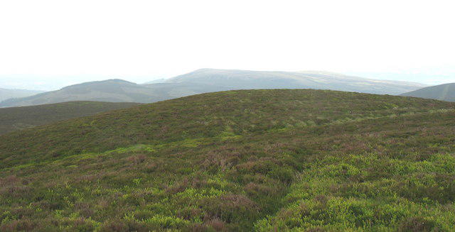 Photo could not load
SJ1139 : The summit plateau of Moel Fferna and the view SW towards the main Berwyn ridge
Eric Jones
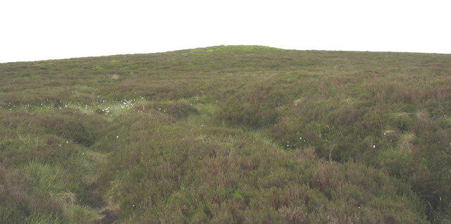 Photo could not load
SJ1139 : View back towards the summit cairn of Moel Fferna
Eric Jones
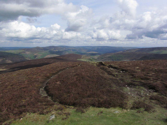 Photo could not load
SJ1139 : View NE from Moel Fferna
Colin Park
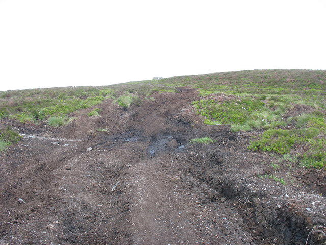 Photo could not load
SJ1139 : The boggy end of the land rover track
Eric Jones
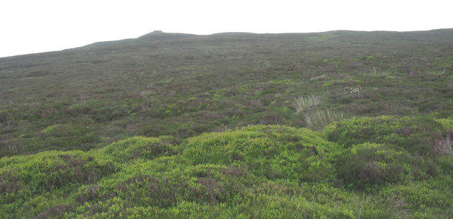 Photo could not load
SJ1139 : View back to the summit of Moel Fferna
Eric Jones
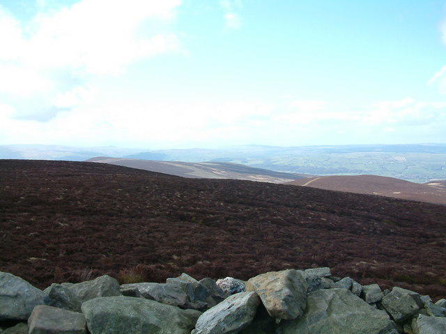 Photo could not load
SJ1139 : Moel Fferna summit
Dale Jones
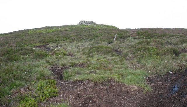 Photo could not load
SJ1139 : Below the summit cairn of Moel Fferna
Eric Jones
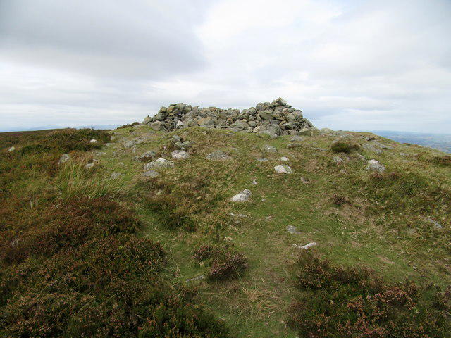 Photo could not load
SJ1139 : Summit cairn/shelter on Moel Fferna (2,067' / 630m)
John H Darch
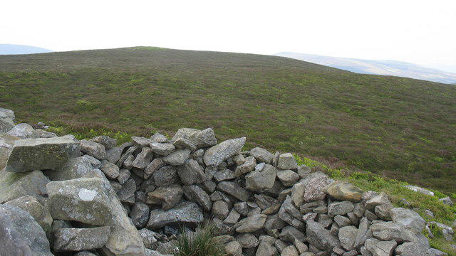 Photo could not load
SJ1139 : The summit cairn of Moel Fferna
Eric Jones
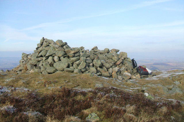
SJ1139 : Summit Cairn / Shelter on top of Moel Fferna
Joseph Jones
Hill facts and local notes
Classifications
Elevation
630m
2,067 ft
Prominence
107m
Coordinates
52.9483, -3.3159
SJ116397
OS Map
125
Explorer: 255
At the Summit
The summit features a modest cairn, but the real highlight is the panoramic view of surrounding peaks and valleys, including visual delights like the Berwyn mountains and the sprawling landscape below.
Terrain & Geology
The mountain is primarily composed of volcanic rock which has eroded over time, revealing layers of ancient geological history. The exposed rock faces provide insight into the area’s volcanic activity millions of years ago.
Views & Scenery
From the summit, you can feast your eyes on the Berwyn Mountains, Snowdon massif, and the expansive valleys that form a picturesque vista. On a clear day, the northern coast is even visible!
History & Heritage
Name Origin
The name 'Moel Fferna' is derived from the Welsh, with 'Moel' meaning 'hill' and 'Fferna' believed to relate to a hermit’s retreat or a more obscure local significance.
Historical Significance
While not a peak of historical fame, the mountain sits in an area steeped in ancient legend, with nearby ruins hinting at settlements from centuries ago.
Getting There & Facilities
Parking
The nearest parking is at the village of Llansilin, where limited roadside parking can be found. Be considerate to residents when parking.
Public Transport
The local bus service operates to Llansilin from larger towns like Oswestry, though check schedules as services can be infrequent.
Nearby Facilities
There are no facilities on or near the mountain, so it's advisable to pack your own snacks. The nearest café is in Llansilin, providing essential refreshments after your hike.
Safety Information
Known Hazards
- Low visibility in foggy conditions can lead to navigation difficulties. Wet, boggy areas can be slippery and treacherous. Always be wary of changing weather conditions.
General Safety Tips
- Check weather conditions before setting out
- Carry appropriate clothing and equipment
- Let someone know your planned route
- Take a map, compass, and GPS device
- Carry emergency supplies: food, water, first aid kit, torch
Hills
Some common questions about the hills answered
Are there group walks up Moel Fferna?
Many walkers use Walkmates to join or organise walks with others. You can check for group walks around Moel Fferna through the maps
Are there other walkers around Moel Fferna?
Activity varies by location and time, but Walkmates lets you see whether others have shared walks or shown interest in this area. Find other people through the walking friends search walking friends for Moel Fferna search or of course create your own walk for Moel Fferna
Can I organise a walk to Moel Fferna?
Yes. If there aren’t any walks listed already, you can create a walk and make it available for others to join.
If you're signed up to Walkmates, you can create a walk to Moel Fferna.
How do I find a walk up this hill?
There are often multiple ways to walk this hill, depending on experience and route preference. Walkmates helps you explore walks and routes that others have shared.
Can I suggest a new route up Moel Fferna?
Yes. You can suggest or create routes to share with others. Walkmates focuses on the social side of walking, so routes are used to help people organise walks and explore areas together, rather than as detailed navigation tools or route libraries.
Other uses really appreciate knowledgeable walkers sharing their routes. Share your favourite route to Moel Fferna here
The is an error or something incorrect about this hill. How do I let you know?
We always strive to keep the information on Walkmates as accurate as possible. If you find an error, please let us know through the contact form and we'll aim to correct it as quickly as possible
Community Discussion
Comments
Location
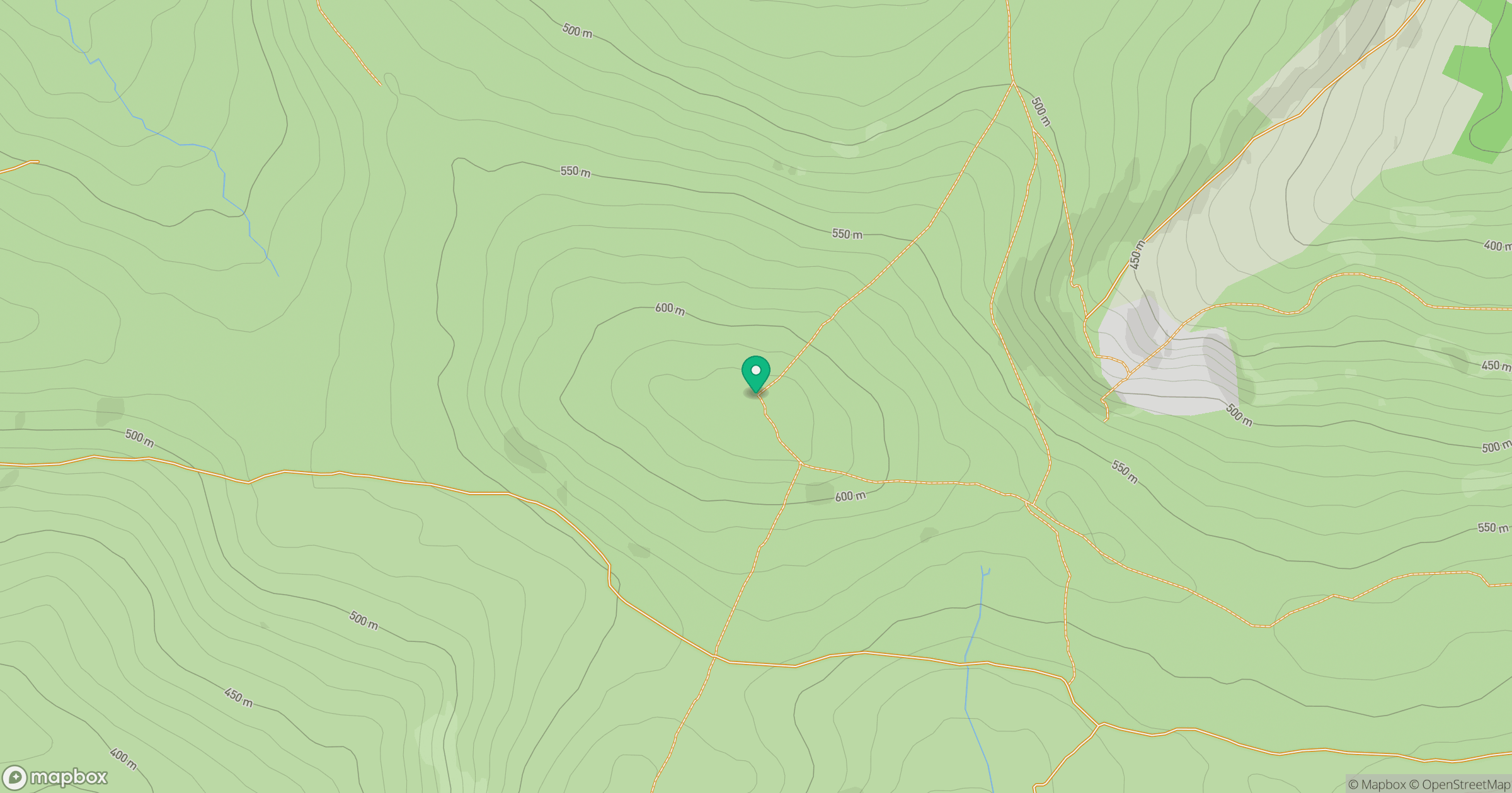
Grid reference: SJ116397
View on OpenStreetMapOpens a map in a new tab, centred on the hill.
No comments yet. Be the first.