
Lowther Park
Good walks are even better shared.
Overview
Lowther Park: A Hidden Gem in the Lake District
Lowther Park, nestled in the heart of the Lake District, may not be the highest peak in the area, but what it lacks in elevation, it makes up for in charm and breathtaking views. Standing at a modest 200 meters, it’s a delightful outing for families and casual hikers alike, with paths that invite you to explore the lush surroundings.
Geology
The park is a living testament to the Earth's geological history, boasting primarily sedimentary formations such as limestone and sandstone. These rocks tell tales of ancient seas, and if you listen carefully, you might just hear the whispers of prehistoric life!
The Routes
One of the most popular routes begins at the magnificent Lowther Castle. This gentle ascent is perfect for all levels of hikers and provides a wonderful opportunity to see the local flora and fauna up close. The path meanders through woodlands rich in wildlife and blossoms, making for a delightful stroll.
The route spans 4.5 km and takes approximately 1.5 hours at a leisurely pace. Keep an eye out for the occasional squirrel – they’re more entertaining than you’d expect!
Summit Features
At the top, you’ll find a captivating rocky outcrop with a small cairn that seems to challenge the sky. It’s the perfect backdrop for a scenic photo-op or a quiet moment enjoying the view. Just don’t forget your picnic; the summit provides a fine ‘table’ for dining al fresco.
Terrain Type
The terrain consists mainly of grassy slopes interspersed with rocky patches. While it’s mostly easy-going, be mindful of the slippery grass after rain - it might as well be a slip-and-slide!
Views
The vistas from Lowther Park are nothing short of spectacular. From the summit, you can gaze down upon the rolling Lowther Valley, with distant peaks of the Lake District punctuating the horizon. If you’re lucky enough to visit on a clear day, the Pennines might just reveal themselves in the distance. Autumn is especially stunning with the foliage creating a tapestry of colour.
Access and Amenities
Access to Lowther Park is straightforward. Parking is conveniently located at Lowther Castle, which serves as the ideal starting point for your adventure. Local buses run from Penrith to Askham, making it easy to reach without a car. Amenities, including a café and toilets, can be found at the castle during opening hours, adding a perfect touch to your outdoor day.
Nearby Summits
If you’re feeling particularly ambitious, nearby peaks such as Blencathra and Skiddaw beckon with their more challenging trails. A day in the Lake District could easily be filled with multiple summits!
Conclusion
Whether you’re a seasoned hiker looking for a laid-back escape or a family wanting to explore the great outdoors, Lowther Park offers a delightful blend of natural beauty, history, and accessibility. Don’t forget to bring your camera, a snack, and possibly a laugh; nature has a way of providing the best stories!
Last Updated: 2023-10-01
Explore routes near Lowther Park
Walks starting near this hill. Open a route to check its map, distance and full itinerary.
Steeple, Scoat Fell and Haycock from Ennerdale
View route
Scafell Pike via Brown Tongue and Hollow Stones
View route
Scafell Pike from Seathwaite via the Corridor Route
View route
Whinlatter dark skies walk
View route
Route planning notes
These notes describe possible approaches. Check a route's map and access information when planning your walk.
Lowther Castle to The Summit Trail
A gentle ascent starting from the enchanting Lowther Castle, meandering through picturesque woodlands before opening up to the stunning views from the summit.
Make a day of it, together
Find someone to share the walk with, or organise a day out along a route you like.
Hill facts and local notes
Classifications
Elevation
308m
1,011 ft
Prominence
31m
Coordinates
54.4944, -3.4570
NY057119
OS Map
89
Explorer: OL4S 303
At the Summit
The summit features a prominent rocky outcrop with a small cairn, making it a perfect spot for a leisurely picnic while soaking in the views.
Terrain & Geology
Lowther Park is primarily composed of sedimentary rock, including limestone and sandstone, indicative of its ancient marine origins. The area also showcases evidence of glacial erosion, which has shaped the picturesque valleys surrounding the peak.
Views & Scenery
From the summit, one can see the sprawling Lowther Valley, the distant peaks of the Lake District, and on a clear day, possibly even the Pennines to the east.
History & Heritage
Name Origin
The name 'Lowther' originates from the Old Norse word meaning 'hill', reflecting its elevation.
Historical Significance
Lowther Park is closely connected to the history of the Lowther family, once a prominent family in the region, and is a key part of the local landscape and heritage.
Getting There & Facilities
Parking
There is a designated car park at Lowther Castle, which is a short walk from the trailhead to the summit.
Public Transport
The nearest bus stop is at Askham, with services running from Penrith. A pleasant 20-minute walk will bring you to the starting point.
Nearby Facilities
Lowther Castle has a café and public toilets available during opening hours, while additional facilities can be found in Penrith.
Safety Information
Known Hazards
- Watch out for slippery grass after rain; it's not an ice rink, but it’s best to mind your step.
General Safety Tips
- Check weather conditions before setting out
- Carry appropriate clothing and equipment
- Let someone know your planned route
- Take a map, compass, and GPS device
- Carry emergency supplies: food, water, first aid kit, torch
Hills
Some common questions about the hills answered
Are there group walks up Lowther Park?
Many walkers use Walkmates to join or organise walks with others. You can check for group walks around Lowther Park through the maps
Are there other walkers around Lowther Park?
Activity varies by location and time, but Walkmates lets you see whether others have shared walks or shown interest in this area. Find other people through the walking friends search walking friends for Lowther Park search or of course create your own walk for Lowther Park
Can I organise a walk to Lowther Park?
Yes. If there aren’t any walks listed already, you can create a walk and make it available for others to join.
If you're signed up to Walkmates, you can create a walk to Lowther Park.
How do I find a walk up this hill?
There are often multiple ways to walk this hill, depending on experience and route preference. Walkmates helps you explore walks and routes that others have shared.
Can I suggest a new route up Lowther Park?
Yes. You can suggest or create routes to share with others. Walkmates focuses on the social side of walking, so routes are used to help people organise walks and explore areas together, rather than as detailed navigation tools or route libraries.
Other uses really appreciate knowledgeable walkers sharing their routes. Share your favourite route to Lowther Park here
The is an error or something incorrect about this hill. How do I let you know?
We always strive to keep the information on Walkmates as accurate as possible. If you find an error, please let us know through the contact form and we'll aim to correct it as quickly as possible
Community Discussion
Comments
Location
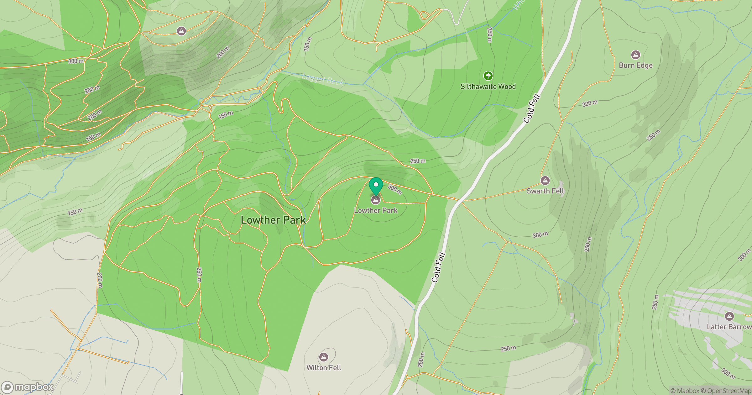
Grid reference: NY057119
View on OpenStreetMapOpens a map in a new tab, centred on the hill.
Nearby Hills
High Stile [Grey Crag - High Stile]
806m
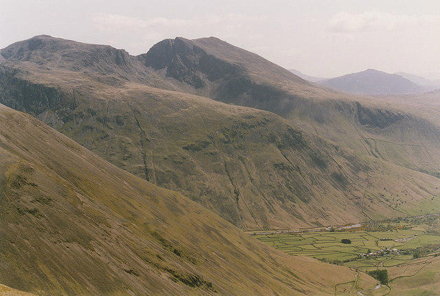
Pillar
892m
Grasmoor
852m
Crag Hill [Eel Crag]
839m
Fleetwith Pike
649m
No comments yet. Be the first.