

Looe Island
Good walks are even better shared.
SX2551 : St George's or Looe Island
Philip Halling Photo source
Overview
Looe Island: A Coastal Gem
Nestled just off the south coast of Cornwall, Looe Island is a delightful escape for nature lovers and those seeking a bit of coastal adventure. With its intriguing geology, rich history, and stunning views, it’s a must-visit!
Geology
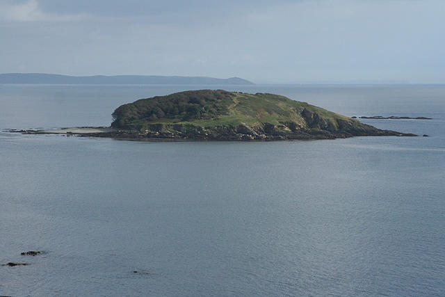
Looe Island is primarily made of granite, a testament to the powerful geological processes that shaped this corner of England. The island's rock formations present unique insights into the geological history of Cornwall, making it a fascinating spot for geology enthusiasts.
Access
Getting to Looe Island is part of the charm! You can park at Looe Harbour, where the local boat service operates regular trips to the island. It’s only a short walk from the boat drop-off point to explore the island’s highlights. If you're coming via public transport, take a train to Liskeard followed by a bus to Looe — and voila, adventure awaits!
Facilities
While the island itself is quite bare, the nearby town of Looe offers plenty of amenities. From quaint cafes to local shops, you can fuel up before or after your visit. Toilet facilities are conveniently located around the harbour area, so no need to worry!
Views
On a clear day, the views from Looe Island are nothing short of spectacular! From the rocky outcrops, you can gaze out over Looe Bay, maybe even catching a glimpse of playful seals or soaring seabirds. For the best experience, visit during spring or summer, not least for stunning sunsets that can really take your breath away.
History
Looe Island is steeped in history, with origins that trace back centuries. The name 'Looe' comes from the Cornish word for 'lake', a fitting title for this coastal piece of paradise. The island also once housed a hermitage, adding a dash of mystique to its past.
Conclusion
Whether you’re a hiker, a history buff, or simply someone who loves a good day out, Looe Island offers something for everyone. Just remember, tides can be a tricky business, so do check the tide times to ensure a safe and enjoyable visit. Pack your sense of adventure, and enjoy this beautiful part of Cornwall!
Happy exploring!
Explore routes near Looe Island
Walks starting near this hill. Open a route to check its map, distance and full itinerary.
Lanhydrock: Deer Wall, River Fowey and Woodland Circuit
View route
Ropehaven Cliffs and Black Head
View route
Cotehele: Danescombe Valley and Mining Heritage Circuit
View route
Wadebridge to Boscarne: Camel Valley Railway Walk
View route
Route planning notes
These notes describe possible approaches. Check a route's map and access information when planning your walk.
Looe Harbour to Looe Island
A picturesque boat ride across to the island, offering beautiful coastal views along the way. Once on the island, a short walk leads to the main areas of interest.
Make a day of it, together
Find someone to share the walk with, or organise a day out along a route you like.
Photo Gallery
View all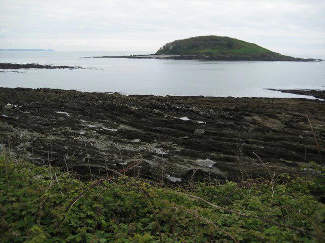 Photo could not load
SX2551 : St George's or Looe Island
Philip Halling
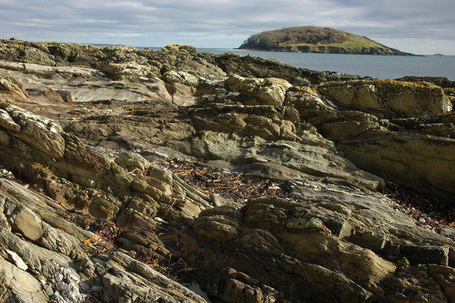 Photo could not load
SX2551 : Looe Island
Philip Halling
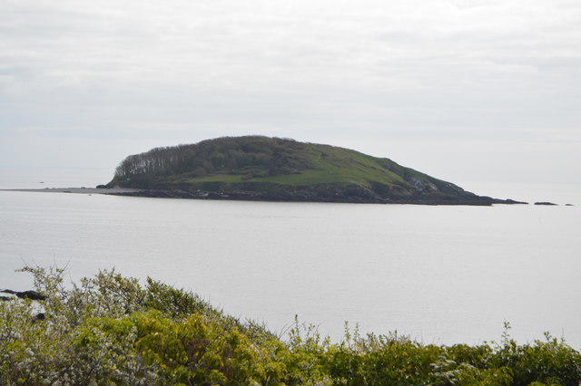 Photo could not load
SX2551 : Looe Island
N Chadwick
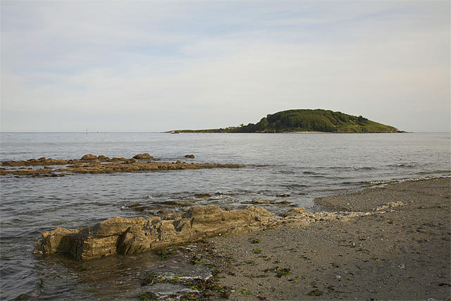 Photo could not load
SX2551 : St George's Island (Looe Island)
Ewan Stevenson
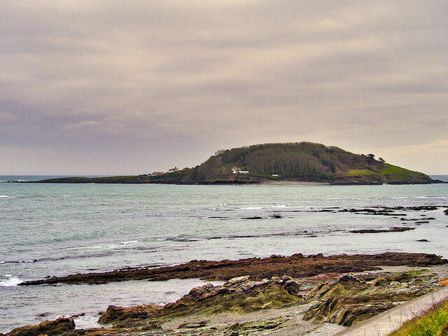 Photo could not load
SX2551 : St George's (Looe) Island
David Dixon
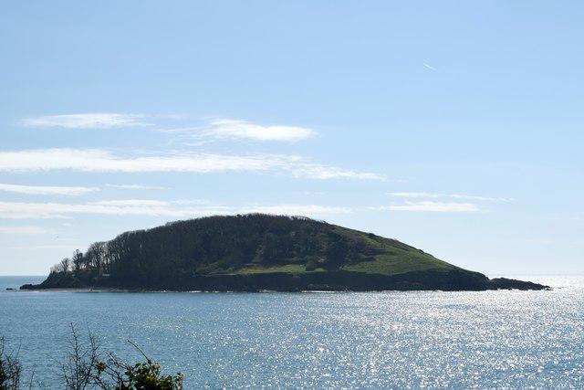 Photo could not load
SX2551 : St George's or Looe Island
Trevor Harris
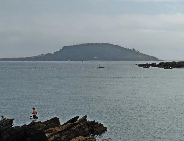 Photo could not load
SX2551 : St George's Island
Roger Cornfoot
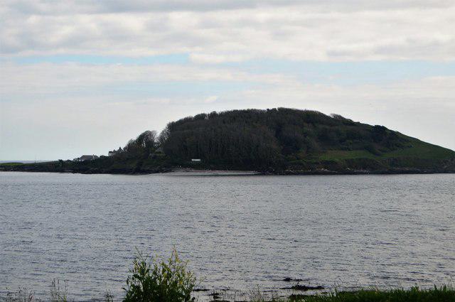 Photo could not load
SX2551 : Looe Island
N Chadwick
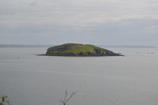 Photo could not load
SX2551 : Looe Island
N Chadwick
SX2551 : Looe: Looe Island
Martin Bodman
Hill facts and local notes
Classifications
Elevation
47m
154 ft
Prominence
47m
Coordinates
50.3370, -4.4512
SX256514
OS Map
201
Explorer: 107
At the Summit
The island features a beautiful rocky shoreline and some remnants of historic buildings, though there's no strict summit due to its flat terrain.
Terrain & Geology
Primarily composed of granite and slate, Looe Island showcases stunning coastal geology shaped by erosion and weathering over millennia. The surrounding sea cliffs are home to a variety of marine life and interesting rock formations.
Views & Scenery
Stunning views across Looe Bay and the nearby coastline, with the possibility of spotting wildlife such as seals and sea birds.
History & Heritage
Name Origin
Looe is derived from the Cornish word 'logh' meaning 'lake' or 'pool', appropriate for an island surrounded by water.
Historical Significance
Historically, Looe Island has been used for fishing and was also a site for a hermitage in the Middle Ages.
Getting There & Facilities
Parking
Parking is available at Looe Harbour, where you can also pick up boat trips to the island.
Public Transport
Looe is accessible via train from Liskeard, along with local bus services.
Nearby Facilities
There are local cafes and shops in Looe, with toilets generally available near the harbour.
Safety Information
Known Hazards
- Be cautious of slippery rocks and the potential for tides to rise quickly. Check the tide times before visiting.
General Safety Tips
- Check weather conditions before setting out
- Carry appropriate clothing and equipment
- Let someone know your planned route
- Take a map, compass, and GPS device
- Carry emergency supplies: food, water, first aid kit, torch
Hills
Some common questions about the hills answered
Are there group walks up Looe Island?
Many walkers use Walkmates to join or organise walks with others. You can check for group walks around Looe Island through the maps
Are there other walkers around Looe Island?
Activity varies by location and time, but Walkmates lets you see whether others have shared walks or shown interest in this area. Find other people through the walking friends search walking friends for Looe Island search or of course create your own walk for Looe Island
Can I organise a walk to Looe Island?
Yes. If there aren’t any walks listed already, you can create a walk and make it available for others to join.
If you're signed up to Walkmates, you can create a walk to Looe Island.
How do I find a walk up this hill?
There are often multiple ways to walk this hill, depending on experience and route preference. Walkmates helps you explore walks and routes that others have shared.
Can I suggest a new route up Looe Island?
Yes. You can suggest or create routes to share with others. Walkmates focuses on the social side of walking, so routes are used to help people organise walks and explore areas together, rather than as detailed navigation tools or route libraries.
Other uses really appreciate knowledgeable walkers sharing their routes. Share your favourite route to Looe Island here
The is an error or something incorrect about this hill. How do I let you know?
We always strive to keep the information on Walkmates as accurate as possible. If you find an error, please let us know through the contact form and we'll aim to correct it as quickly as possible
Community Discussion
Comments
Location
View the hill's mapped position and surrounding paths.
Grid reference: SX256514
View on OpenStreetMapOpens a map in a new tab, centred on the hill.
Nearby Hills
Brown Willy
420m

Brent Tor
334m

High Willhays
622m

Dunkery Beacon
520m
Rhossili Down - The Beacon
193m
No comments yet. Be the first.