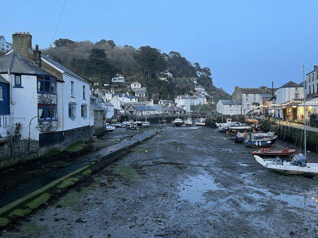
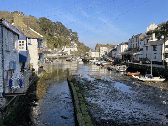
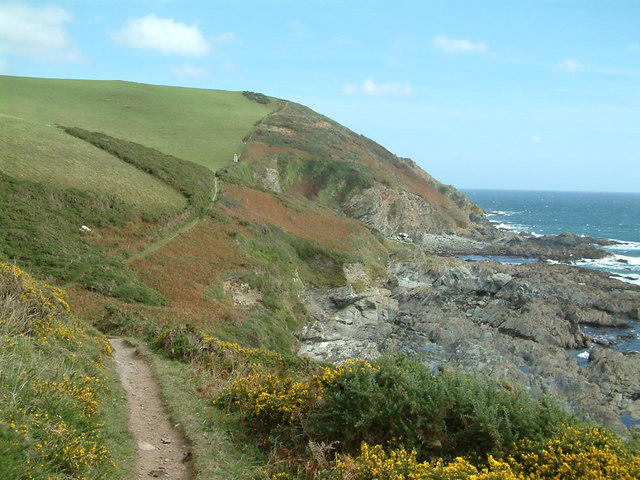
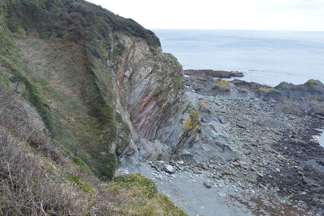
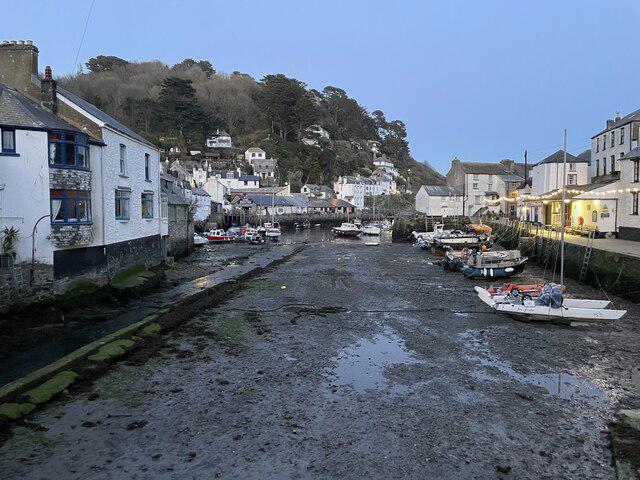
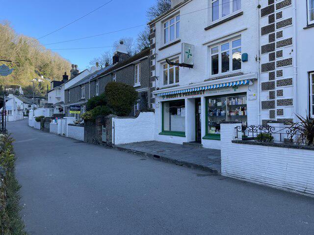
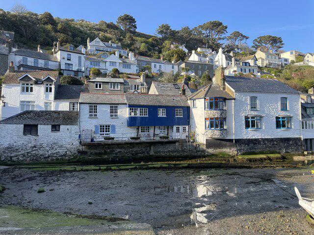
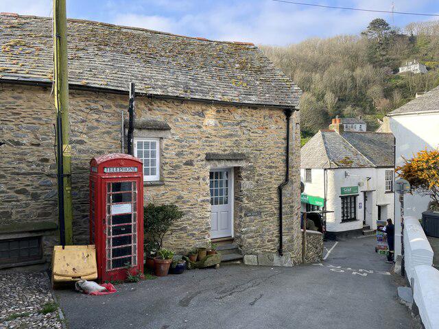
Follow a 10.5 km circular walk from Lansallos to Polperro above south Cornish coves, returning through farmland along country lanes. Allow 4½–5 hours, and longer for extended stops. The sea views and wooded valley make a varied day, but repeated coastal climbs make this a challenging walk.
Start at the public National Trust Lansallos car park, PL13 2PX. Head downhill past the church and through the wooded sunken lane, then turn east onto the coast path before the beach. Follow the rising and falling cliff path towards Polperro. At Chapel Cliff take the direct upper village option, leaving out the Net Loft spur. Return along Landaviddy Lane and Raphael Road, following the Lansallos turn back to the church and car park.
Expect steep steps, narrow rocky paths, mud, gates and exposed cliff edges. Wear grippy footwear, carry waterproofs and avoid strong winds, poor visibility or heavy rain. A short, approximately eight-metre stepping-stone crossing can be unsafe in high water: turn back if the stones are submerged, slippery or the water is fast. Around 4.67 km uses roads and service approaches, mainly the inland return. Expect traffic and blind bends; continuous pavement is not guaranteed. This is not a step-free route.
Parking is £9 all day; the four-hour ticket is likely too short. National Trust members and Blue Badge holders park free. Parking is daytime only: check entrance signs and finish before dusk. Coins or JustPark are accepted, but mobile reception can be patchy.
Keep dogs on short leads throughout, especially near livestock and wildlife. Carry water and food. No toilet is confirmed at the start; Polperro toilets and refreshments depend on opening hours. Check current coast-path notices before travelling and follow local diversions or closures.
The circuit requires a stepping-stone stream crossing. If you cannot cross safely, return the way you came while conditions allow; do not wade or leave the path to find a bypass. Set off early enough to allow for a retreat as well as stops, and return to the car park before dusk.
Route geometry: © OpenStreetMap contributors, licensed under the Open Database Licence (ODbL) 1.0. https://www.openstreetmap.org/copyright