

Lingmell
Good walks are even better shared.
Overview
Lingmell
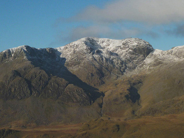
Lingmell is the 807 m fell above Wasdale, beside Scafell Pike. This is the Wasdale summit at NY209081, not the separate Lingmell in Ennerdale. The primary record identifies rock 3 m east of the summit cairn and notes that a finger of rock on the north top is at least as high.
A complete Brackenclose circuit
From the National Trust Lake Head / Brackenclose car park, NY182075, start on the Scafell Pike path before turning left up Lingmell’s western nose. The sustained grassy and rocky climb passes Goat Crags and reaches the summit on a faint path. Descend to Lingmell Col, cross the ruined wall to the Hollow Stones path, and follow that path down beside Lingmell Gill to rejoin the outward approach and return to the car park.
Andrew’s Walks records 4.9 miles, approximately 7.9 km, and 2500 ft, approximately 762 m, of ascent for this whole circuit. No duration is provided. Scafell Pike and the Corridor Route are not included. Expect steep slopes, rocky ground and navigation demands, rather than a beginner’s stroll. Views include Scafell Pike, Great Gable and Wastwater in clear conditions.
Safety and setting
Keep clear of the crag edges. Do not descend into Piers Gill or follow its stream bed: Wasdale Mountain Rescue describes serious hazards in this ravine. The circuit above returns through Hollow Stones instead. Mist, wet rock, wind, snow and ice require suitable equipment and mountain judgement. Check current path notices before walking; an earlier report is not a guarantee of access.
Lingmell lies within the Borrowdale Volcanic Group. BGS describes stratified silicic tuffs and breccias in the Lingmell Tuff Formation, rather than a uniform andesite mountain.
Getting there
Lake Head has charged parking for non-members and a National Trust toilet block, including an accessible toilet. Overnight parking is not permitted. Gosforth lies on the western road approach. The official Wasdale Explorer page checked on 18 October 2026 says its 2026 seasonal service from Ravenglass had already finished in August. Arrange transport accordingly and check any future seasonal service; do not rely on a year-round trailhead bus.
Sources checked: 18 October 2026.
Explore routes near Lingmell
Walks starting near this hill. Open a route to check its map, distance and full itinerary.
Scafell Pike via Brown Tongue and Hollow Stones
View route
Scafell Pike from Seathwaite via the Corridor Route
View route
Bow Fell from Langdale
View route
Great Carrs Halifax Wreckage from Wrynose Pass
View route
Route planning notes
These notes describe possible approaches. Check a route's map and access information when planning your walk.
Lingmell from Brackenclose, returning through Hollow Stones
Start and finish at the National Trust Lake Head / Brackenclose car park, NY182075. Begin on the Scafell Pike path, then turn left onto the fainter path up Lingmell’s western nose. Climb the steep grassy and rocky slopes past Goat Crags to the summit. Descend to Lingmell Col, cross the ruined wall to find the Hollow Stones path, then descend it beside Lingmell Gill and rejoin the outward approach to Brackenclose. Andrew’s Walks records this complete Lingmell-only circuit as 4.9 miles (about 7.9 km) and 2500 ft (about 762 m) ascent; it supplies no duration. It does not include Scafell Pike, the Corridor Route or Piers Gill.
Make a day of it, together
Find someone to share the walk with, or organise a day out along a route you like.
Photo Gallery
View all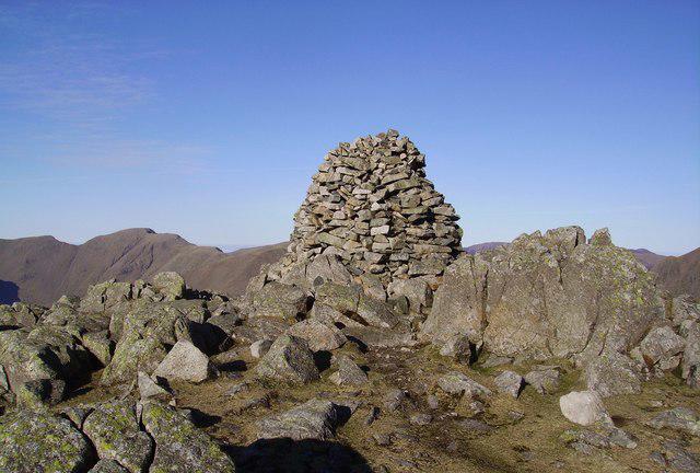 Photo could not load
NY2008 : Summit Cairn, Lingmell
Michael Graham
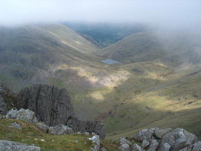 Photo could not load
NY2008 : The top of Lingmell Crag
Bill Boaden
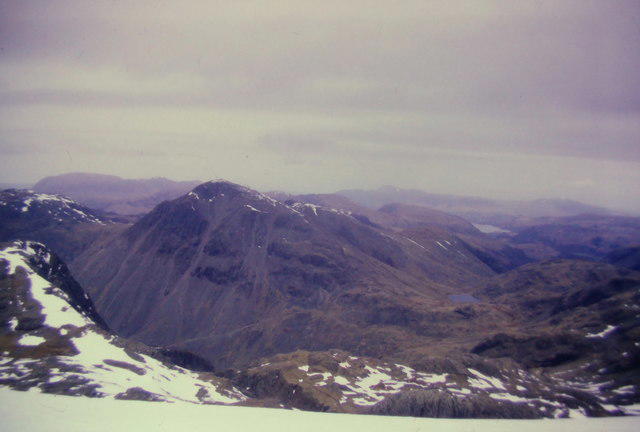 Photo could not load
NY2008 : Lingmell and Great Gable from the northern side of Scafell Pike
Richard Law
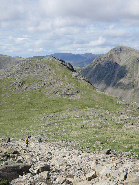 Photo could not load
NY2008 : A view to Lingmell
James T M Towill
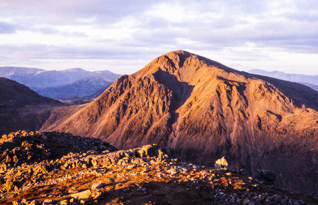 Photo could not load
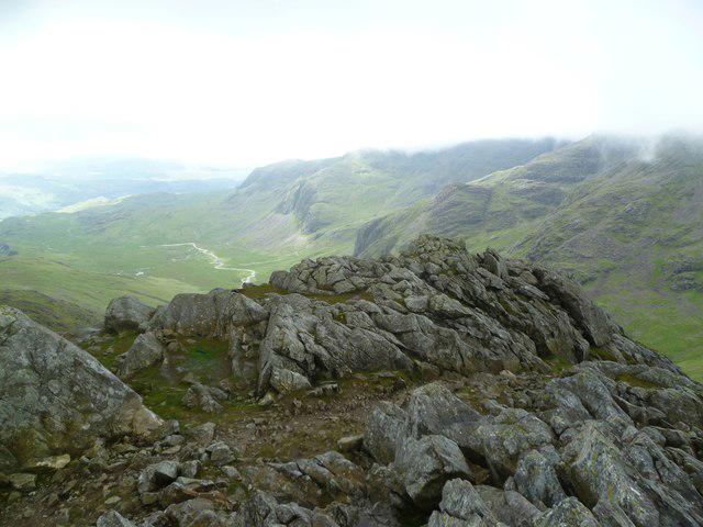
NY2008 : Rocks along ridge descending from summit of Lingmell
Trevor Littlewood
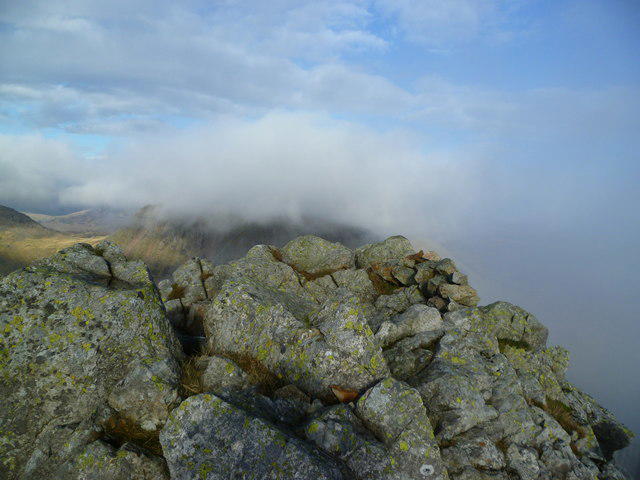 Photo could not load
NY2008 : Lingmell Summit
Michael Graham
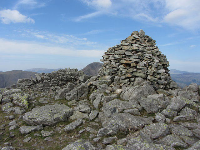 Photo could not load
NY2008 : Cairn on Lingmell
Gareth James
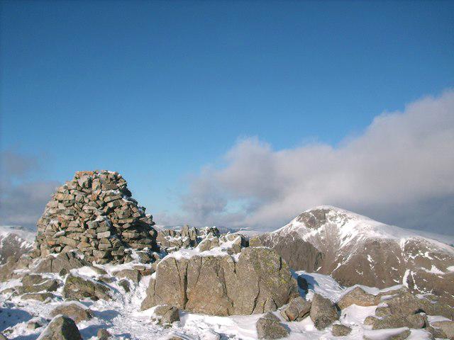 Photo could not load
NY2008 : Lingmell summit cairn
Stephen Middlemiss
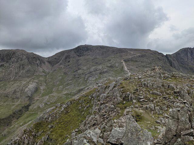 Photo could not load
NY2008 : High ground on Lingmell
David Medcalf
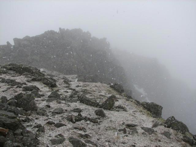
NY2008 : Lingmell summit
Callum Black
Hill facts and local notes
Classifications
Elevation
807m
2,648 ft
Prominence
72m
Coordinates
54.4628, -3.2213
NY209081
OS Map
89 90
Explorer: OL6N
At the Summit
The primary summit feature is a rock 3 m east of the cairn at NY2093308176. A finger of rock on the north top is recorded as at least as high.
Terrain & Geology
Lingmell is in the Borrowdale Volcanic Group. The British Geological Survey names the Lingmell Tuff Formation for stratified silicic tuff, lapilli-tuff and breccia in this area; the volcanic succession is more varied than a blanket description as andesite.
Views & Scenery
From the summit, you can see Scafell Pike, Great Gable, and the tranquil waters of Wastwater below.
Getting There & Facilities
Parking
National Trust Lake Head / Brackenclose car park, NY182075, for this circuit. Parking is charged for non-members and free for members; overnight parking is not permitted. Check current payment arrangements before arrival.
Public Transport
As checked on 18 October 2026, the official Wasdale Explorer page says its 2026 summer service from Ravenglass had finished at the end of August. Do not assume a year-round bus to the start; check future seasonal arrangements or organise an onward connection.
Nearby Facilities
National Trust confirms a toilet block, including an accessible toilet, at Lake Head car park. Carry food and drink for the mountain; a café at the route start is not verified.
Safety Information
Known Hazards
- The western-nose ascent is steep and sustained, with faint paths and rocky ground. It should not be advertised as a novice-friendly stroll.
- Navigate deliberately from the summit to Lingmell Col and the Hollow Stones path. Keep away from the crag edges and do not follow a gill as a descent shortcut.
- Piers Gill is a serious ravine, not a safe descent: Wasdale Mountain Rescue warns against entering its stream bed. The described circuit avoids it.
- Poor visibility, winter ice and snow, strong wind and wet rock can make the outing substantially harder; take a map, compass and suitable mountain equipment.
General Safety Tips
- Check weather conditions before setting out
- Carry appropriate clothing and equipment
- Let someone know your planned route
- Take a map, compass, and GPS device
- Carry emergency supplies: food, water, first aid kit, torch
Hills
Some common questions about the hills answered
Are there group walks up Lingmell?
Many walkers use Walkmates to join or organise walks with others. You can check for group walks around Lingmell through the maps
Are there other walkers around Lingmell?
Activity varies by location and time, but Walkmates lets you see whether others have shared walks or shown interest in this area. Find other people through the walking friends search walking friends for Lingmell search or of course create your own walk for Lingmell
Can I organise a walk to Lingmell?
Yes. If there aren’t any walks listed already, you can create a walk and make it available for others to join.
If you're signed up to Walkmates, you can create a walk to Lingmell.
How do I find a walk up this hill?
There are often multiple ways to walk this hill, depending on experience and route preference. Walkmates helps you explore walks and routes that others have shared.
Can I suggest a new route up Lingmell?
Yes. You can suggest or create routes to share with others. Walkmates focuses on the social side of walking, so routes are used to help people organise walks and explore areas together, rather than as detailed navigation tools or route libraries.
Other uses really appreciate knowledgeable walkers sharing their routes. Share your favourite route to Lingmell here
The is an error or something incorrect about this hill. How do I let you know?
We always strive to keep the information on Walkmates as accurate as possible. If you find an error, please let us know through the contact form and we'll aim to correct it as quickly as possible
Community Discussion
Comments
Location
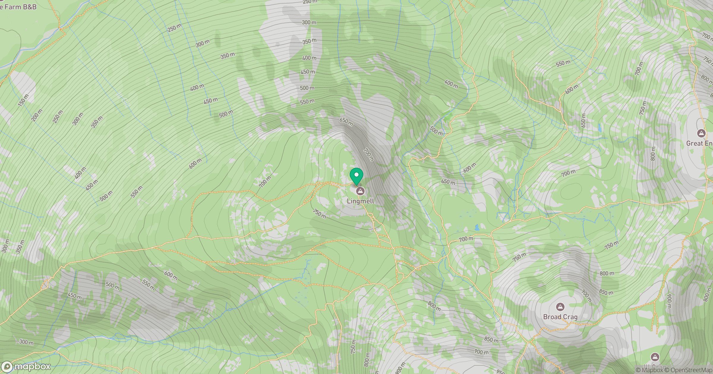
Grid reference: NY209081
View on OpenStreetMapOpens a map in a new tab, centred on the hill.

No comments yet. Be the first.