

Latterbarrow
Good walks are even better shared.
NY1202 : Looking Towards Latterbarrow
Michael Graham Photo source
Overview
Latterbarrow
Nestled within the stunning Lake District, Latterbarrow is a modest yet captivating summit that appeals to hikers of all levels. With an elevation of 389 meters, it provides an accessible opportunity for walkers wanting to experience the beauty of this iconic region.
Geology
Latterbarrow is primarily composed of volcanic rock from the Borrowdale Volcanic Group, a remnant of ancient geological processes. The surrounding landscape is a testament to both volcanic activity and the sculpting power of glaciers, leaving behind sharp ridges and gentle hills. Keep an eye out for interesting rock formations as you ascend!
Routes
Latterbarrow from the A570
This easy route begins on the A570 and leads directly to the summit. It's perfect for families or those looking for a leisurely stroll. In just 1.5 hours, you’ll find yourself soaking in breathtaking views of Windermere.
Latterbarrow via Claife Heights
If you're up for a bit of extra effort, consider taking the path through Claife Heights. This moderately challenging route immerses you in woodland beauty and provides a longer hike at about 2.5 hours. It’s a bit of a gem that many tend to overlook!
Summit Features
On reaching the top, you'll be greeted by a stone cairn—your monument of triumph! It’s also an excellent spot for a picnic or a quick chat with fellow hikers. The views are worth every step.
Terrain
Expect a mix of grassy expanses and delicate patches of heather. The approach to the summit presents some rocky outcrops, so watch your footing—these can be tricky when damp!
Views
From Latterbarrow’s summit, enjoy panoramic views that reveal the majestic Windermere lake, stunning landscapes of Coniston Water, and the encompassing fells. The best seasons for enjoying these views are surely spring and autumn, when the skies are clearer, and the landscapes are painted in vibrant colours. Just remember, with beauty comes a bit of effort!
Hazards
While Latterbarrow is an approachable summit, hikers should remain aware of wet paths, especially after a bout of rain. Uneven terrain means solid footwear is essential; we wouldn't want you performing an unintentional ballet on a slippery slope!
Nearby Summits
After mastering Latterbarrow, why not stretch your legs and conquer nearby summits like Caw (407 m) and Hill Top (246 m)? They’re well worth the extra effort and can round off your adventure beautifully.
Access
Nearest Parking
Parking can be found along the A570; make sure to park while being considerate to local traffic.
Public Transport
If you’re relying on public transport, buses frequently ply the route to Bowness-on-Windermere from more significant towns like Windermere.
Nearest Town
The charming town of Bowness-on-Windermere is the closest, boasting plenty of local amenities and a friendly atmosphere.
Facilities
Indulge your taste buds at one of the many local cafes or pubs once you've hiked Latterbarrow. A well-earned scone with clotted cream should do nicely, wouldn’t you say?
History
Name Meaning
The name 'Latterbarrow' offers a glimpse into its history, deriving from Old Norse, and hints at a time when this area likely held significant cultural importance.
Significance
Since the 19th century, Latterbarrow has drawn hillwalkers and nature lovers alike, contributing to the rich tapestry of outdoor pursuits in the Lake District. It’s an iconic spot worth a visit, no doubt!
Latterbarrow isn't just a walk in the park; it's a delightful adventure waiting to be had! So grab your boots, pack your waterproofs, and get climbing!
Explore routes near Latterbarrow
Walks starting near this hill. Open a route to check its map, distance and full itinerary.
Scafell Pike via Brown Tongue and Hollow Stones
View route
Steeple, Scoat Fell and Haycock from Ennerdale
View route
Scafell Pike from Seathwaite via the Corridor Route
View route
Great Carrs Halifax Wreckage from Wrynose Pass
View route
Route planning notes
These notes describe possible approaches. Check a route's map and access information when planning your walk.
Latterbarrow from the A570
A straightforward ascent starting from the roadside, leading to panoramic views of Windermere.
Latterbarrow via Claife Heights
This route takes you through lush woodland and offers an extended, scenic path up to the summit.
Make a day of it, together
Find someone to share the walk with, or organise a day out along a route you like.
Photo Gallery
View all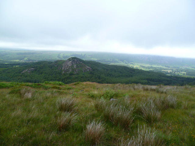 Photo could not load
NY1202 : Looking Towards Latterbarrow
Michael Graham
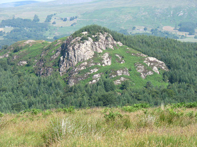 Photo could not load
NY1202 : Latterbarrow Crag
David Purchase
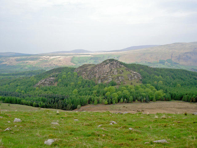 Photo could not load
NY1202 : Latterbarrow Crag
Ian Greig
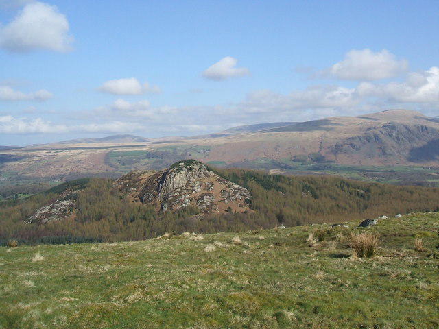 Photo could not load
NY1202 : Latterbarrow from Mecklin Park
David Brown
Hill facts and local notes
Classifications
Elevation
201m
659 ft
Prominence
87m
Coordinates
54.4128, -3.3467
NY127027
OS Map
89
Explorer: OL6N
At the Summit
The summit is marked by a stone cairn and offers a glorious vista, perfect for a selfie or two.
Terrain & Geology
Latterbarrow is primarily composed of volcanic rocks from the Borrowdale Volcanic Group, with some stunning crags and sheer faces formed by glacial activity.
Views & Scenery
From the summit, you can see Windermere lake, Coniston Water, and the surrounding fells. On a clear day, the views are nothing short of spectacular!
History & Heritage
Name Origin
The name 'Latterbarrow' is derived from the Old Norse 'barrow', meaning a burial mound, hinting at its ancient significance.
Historical Significance
This area has been a popular hiking destination since the 19th century, attracting visitors with its beautiful landscapes and rich local culture.
Getting There & Facilities
Parking
There is parking available along the A570, but be sure to park considerately!
Public Transport
Regular buses run to Bowness-on-Windermere, from which you can walk to the trailhead.
Nearby Facilities
There are numerous cafes and pubs in Bowness-on-Windermere where you can reward yourself with a slice of cake post-hike.
Safety Information
Known Hazards
- Watch out for wet and slippery paths, especially after rain. The terrain can be uneven, so sturdy footwear is advisable.
General Safety Tips
- Check weather conditions before setting out
- Carry appropriate clothing and equipment
- Let someone know your planned route
- Take a map, compass, and GPS device
- Carry emergency supplies: food, water, first aid kit, torch
Hills
Some common questions about the hills answered
Are there group walks up Latterbarrow?
Many walkers use Walkmates to join or organise walks with others. You can check for group walks around Latterbarrow through the maps
Are there other walkers around Latterbarrow?
Activity varies by location and time, but Walkmates lets you see whether others have shared walks or shown interest in this area. Find other people through the walking friends search walking friends for Latterbarrow search or of course create your own walk for Latterbarrow
Can I organise a walk to Latterbarrow?
Yes. If there aren’t any walks listed already, you can create a walk and make it available for others to join.
If you're signed up to Walkmates, you can create a walk to Latterbarrow.
How do I find a walk up this hill?
There are often multiple ways to walk this hill, depending on experience and route preference. Walkmates helps you explore walks and routes that others have shared.
Can I suggest a new route up Latterbarrow?
Yes. You can suggest or create routes to share with others. Walkmates focuses on the social side of walking, so routes are used to help people organise walks and explore areas together, rather than as detailed navigation tools or route libraries.
Other uses really appreciate knowledgeable walkers sharing their routes. Share your favourite route to Latterbarrow here
The is an error or something incorrect about this hill. How do I let you know?
We always strive to keep the information on Walkmates as accurate as possible. If you find an error, please let us know through the contact form and we'll aim to correct it as quickly as possible
Community Discussion
Comments
Location
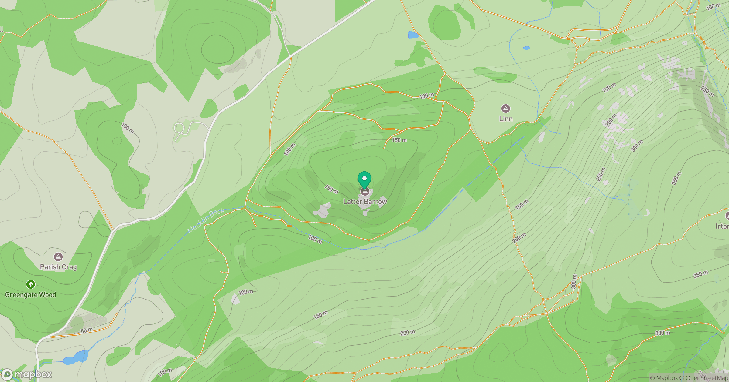
Grid reference: NY127027
View on OpenStreetMapOpens a map in a new tab, centred on the hill.
Nearby Hills
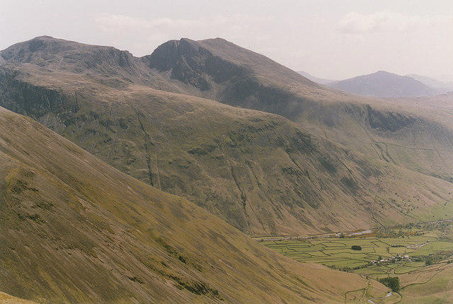
Pillar
892m
High Stile [Grey Crag - High Stile]
806m
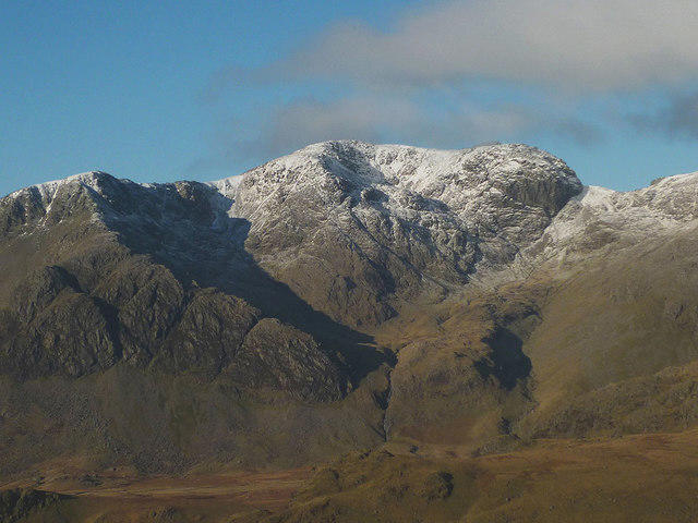
Scafell
964m
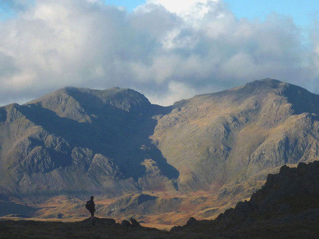
Scafell Pike
978m

Great Gable
899m
No comments yet. Be the first.