

Latrigg
Good walks are even better shared.
NY4201 : Old Mower
Michael Graham Photo source
Overview
Latrigg: A Hiker’s Delight
Latrigg, standing at 368 meters, may not be the tallest peak in the Lake District, but what it lacks in height, it more than compensates with spectacular views and a sense of achievement. Nestled close to the bustling market town of Keswick, this little gem is perfect for families, novice hikers, and those looking for a leisurely stroll amongst the beauty of nature.
Geology
Latrigg boasts fascinating volcanic rock formations, primarily andesite, sculpted by the ice of the last glacial period. The gentle slopes and grassy terrain make it an inviting prospect for walkers of all ages.
Routes
One of the most favoured routes is the Latrigg Circular Walk, starting right from the well-located car park. Covering about 3.2 km, it offers an easy trek with a moderate ascent, allowing ample time to soak in the delightful views and fresh air. Whether you’re an experienced hiker or just out for a saunter, this route is a pleasant choice.
Summit Features
As you reach the summit, you’ll be greeted by a simple trig point, standing proud among the patchy grass and occasional rocky outcrop. It’s an ideal place to take a breather, enjoy a packed lunch, or snap a few photographs for posterity's sake (and your Instagram).
Terrain Type
The trail itself consists of grassy paths with some rocky sections, making for a gentle yet engaging walk. Proper footwear is advisable, particularly when the skies are feeling a bit dramatic and decide to unleash a sprinkle of rain!
Views
From the summit, prepare to have your breath taken away (but hopefully not literally). You’ll see the sparkling waters of Derwentwater, the majestic Skiddaw looming in the distance, and the rolling hills of the Newlands Valley. For the best views, aim for spring or autumn; nothing beats the crisp air and colourful landscapes!
Hazards
While Latrigg is generally safe, it’s essential to keep an eye on your footing, especially when the weather gets tricky. Slippery stones can be sneaky, and uneven paths can cause you to do an unintentional impression of a cartoon character. Avoid hiking in poor weather conditions for a more enjoyable experience.
Access
Accessing Latrigg is a breeze. There’s parking at the Latrigg Car Park (NY 412 229), which is just a hop, skip, and jump away from the trails. If you prefer to leave the car at home, regular buses from Keswick drop you off nearby, making it an easy jaunt for public transport users.
Facilities
Be warned: there are no facilities up on Latrigg, so nature calls must be answered beforehand. However, Keswick, the nearest town, is brimming with charming cafes, shops, and public toilets to cater to your needs before and after your hike.
Conclusion
In summary, Latrigg is an excellent introduction to the wonders of the Lake District, offering delightful views, easy access, and a delightful route for all levels of hikers. It’s a mountain that proves to be an inviting escapade, perfect for a casual day out in nature or a quick escape from the hustle and bustle of everyday life. So lace up your boots, grab your walking stick, and set out to enjoy the splendid views of Latrigg!
Explore routes near Latrigg
Walks starting near this hill. Open a route to check its map, distance and full itinerary.
Tarn Hows Fast Route
View route
Coniston to Tarn Hows: Monk Coniston Gardens and Woodland Circuit
View route
Bow Fell from Langdale
View route
Great Carrs Halifax Wreckage from Wrynose Pass
View route
Route planning notes
These notes describe possible approaches. Check a route's map and access information when planning your walk.
Latrigg Circular Walk
A popular route starting from the Latrigg car park, offering panoramic views and a gentle ascent.
Make a day of it, together
Find someone to share the walk with, or organise a day out along a route you like.
Photo Gallery
View all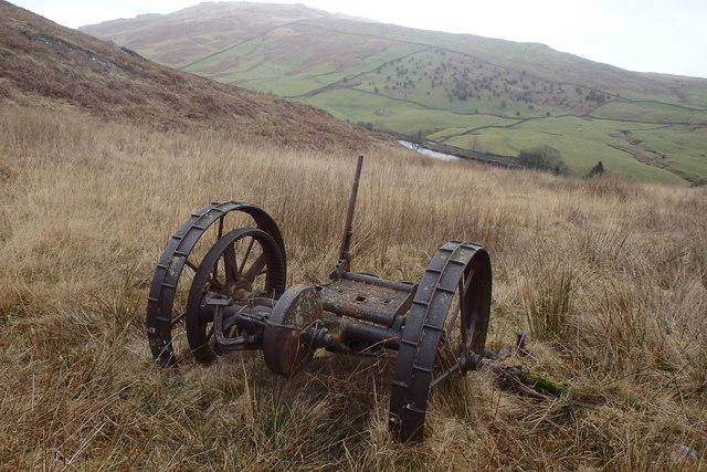 Photo could not load
NY4201 : Old Mower
Michael Graham
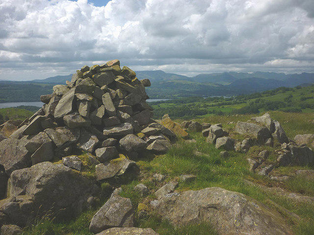 Photo could not load
NY4101 : Mystery 'Cairn'
Karl and Ali
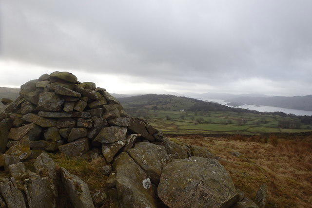 Photo could not load
NY4101 : Cairn on Latrigg
Michael Graham
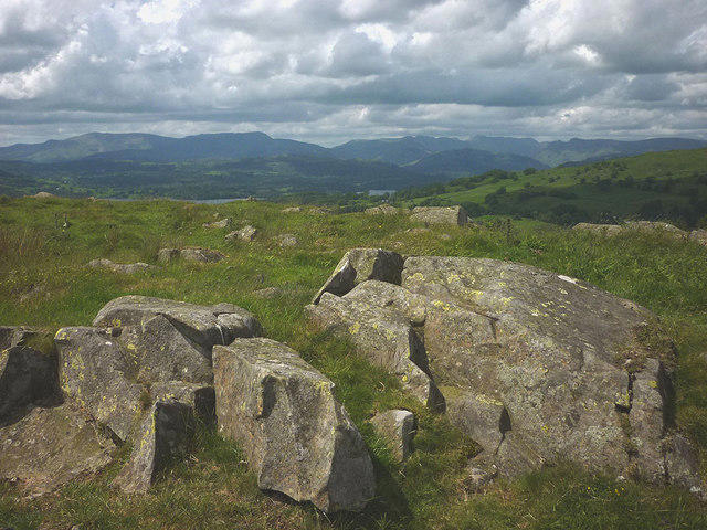 Photo could not load
NY4101 : The summit of Point 275m
Karl and Ali
Hill facts and local notes
Classifications
Elevation
275m
902 ft
Prominence
31m
Coordinates
54.4052, -2.8968
NY418014
OS Map
90
Explorer: OL7N
At the Summit
The summit features a prominent trig point and a small stone cairn, providing a perfect backdrop for a celebratory selfie.
Terrain & Geology
Latrigg is primarily formed of volcanic rock, specifically andesite, which gives it a rugged charm. The area showcases fascinating geological features due to glacial sculpting.
Views & Scenery
At the summit, hikers can enjoy stunning views over Derwentwater and the surrounding fells, including Skiddaw, Blencathra, and the Newlands Valley.
History & Heritage
Name Origin
The name 'Latrigg' is derived from the Old Norse word 'rigg', meaning ridge, reflecting its geographical feature.
Historical Significance
Latrigg has been a favourite among walkers for generations, due to its accessibility and stunning views.
Getting There & Facilities
Parking
Latrigg Car Park, located at NY 412 229. It’s a small, convenient car park with easy access to trails.
Public Transport
Buses from Keswick frequently serve the area, making it easy to reach the starting point without a car.
Nearby Facilities
There are no facilities on the mountain, but Keswick offers numerous cafes, restaurants, and public toilets.
Safety Information
Known Hazards
- While the trails are generally safe, watch out for slippery rocks after rain and be cautious of uneven paths.
General Safety Tips
- Check weather conditions before setting out
- Carry appropriate clothing and equipment
- Let someone know your planned route
- Take a map, compass, and GPS device
- Carry emergency supplies: food, water, first aid kit, torch
Hills
Some common questions about the hills answered
Are there group walks up Latrigg?
Many walkers use Walkmates to join or organise walks with others. You can check for group walks around Latrigg through the maps
Are there other walkers around Latrigg?
Activity varies by location and time, but Walkmates lets you see whether others have shared walks or shown interest in this area. Find other people through the walking friends search walking friends for Latrigg search or of course create your own walk for Latrigg
Can I organise a walk to Latrigg?
Yes. If there aren’t any walks listed already, you can create a walk and make it available for others to join.
If you're signed up to Walkmates, you can create a walk to Latrigg.
How do I find a walk up this hill?
There are often multiple ways to walk this hill, depending on experience and route preference. Walkmates helps you explore walks and routes that others have shared.
Can I suggest a new route up Latrigg?
Yes. You can suggest or create routes to share with others. Walkmates focuses on the social side of walking, so routes are used to help people organise walks and explore areas together, rather than as detailed navigation tools or route libraries.
Other uses really appreciate knowledgeable walkers sharing their routes. Share your favourite route to Latrigg here
The is an error or something incorrect about this hill. How do I let you know?
We always strive to keep the information on Walkmates as accurate as possible. If you find an error, please let us know through the contact form and we'll aim to correct it as quickly as possible
Community Discussion
Comments
Location
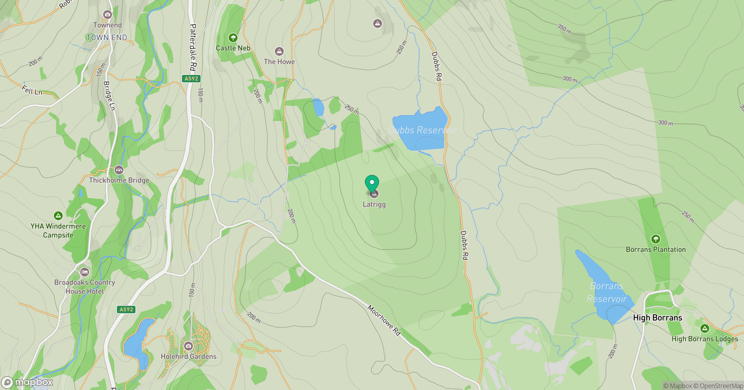
Grid reference: NY418014
View on OpenStreetMapOpens a map in a new tab, centred on the hill.
No comments yet. Be the first.