

Knockan
Good walks are even better shared.
NJ3546 : Hill of Towie Wind Farm
Anne Burgess Photo source
Overview
Knockan: An Enchanting Journey for Hikers
Nestled in the heart of Northern Ireland, Knockan beckons outdoor lovers with its gentle slopes and stunning views. As a Marilyn, it stands tall at 609 meters, boasting a prominence of 156 meters, which gives a sense of accomplishment without the need for rock-climbing gear!
Geology
The mountain's unique geology features limestone and dolostone, which have weathered over millennia to create not only a beautiful landscape but also fascinating karst formations. If you're into geology, bring a hammer (a metaphorical one, we advise against actually breaking anything!), as you'll find a landscape full of character.
The Route
The Knockan Access Route is a straightforward hike stretching approximately 3.5 km. It is perfect for families and those just wanting to stretch their legs and soak in the views. Expect to spend about 1.5 hours ascending this friendly giant.
Summit Features
Upon reaching the summit, you'll find a modest cairn where many have paused to reflect and snap photos. The expansive views are a marvel, and the cool breeze is the cherry on top of this delightful cake.
Terrain Type
The terrain is predominantly grassy, with the occasional rocky outcrop. Trainers or sturdy shoes should suffice; however, beware of the odd mischievous stone trying to trip you up.
Scenic Views
Once you reach the summit, you're treated to magnificent views over both the Mourne Mountains and the shimmering expanse of the Irish Sea. To truly appreciate it, visit in spring or autumn when the colours pop! Should winter grace the landscape, a dusting of snow can make Knockan look particularly picturesque.
Hazards
Whenever you venture into the great outdoors, remember this: pack layers for the unpredictable weather! The terrain can be slippery when wet, so tread carefully, especially around rocky areas.
Nearby Summits
Adding to your adventure, nearby Slieve Croob (534 m) is a tempting addition to your hiking itinerary. Maybe bring a friend along; that way, if you get lost, you can at least argue about the right direction!
Access
- Nearest Parking: Located conveniently off the A24, though spots fill up faster than you can say 'bacon sandwich.'
- Public Transport: Sparse - it's a bit of a challenge, so driving is your best bet.
- Nearest Town: Castlewellan - a charming town with character, cafe culture, and necessary amenities.
Facilities
While you’re in Castlewellan, treat yourself to a warm cup of tea or even a cheeky slice of cake; you deserve it after your hike!
History
Knockan’s name is quite humble, deriving from 'Cnocan,’ meaning 'little hill.' But don’t be fooled; its beauty and significance are anything but small!
Conclusion
Whether you are a seasoned hiker or a family looking for a joyful day out, Knockan offers a perfect antidote to the hustle and bustle of everyday life. Get out there, breathe in the fresh air, and don't forget to give that friendly cairn a pat when you pass!
Happy hiking!
Explore routes near Knockan
Walks starting near this hill. Open a route to check its map, distance and full itinerary.
Craigellachie to Aberlour: Speyside Railway Path Return
View route
Aberlour to Carron Bridge: Speyside Way riverside return
View route
Elgin guided night walk
View route
Findhorn guided night walk
View route
Route planning notes
These notes describe possible approaches. Check a route's map and access information when planning your walk.
Knockan Access Route
A well-trodden path that winds gently up from the parking area to the summit. Perfect for families and beginners.
Make a day of it, together
Find someone to share the walk with, or organise a day out along a route you like.
Photo Gallery
View all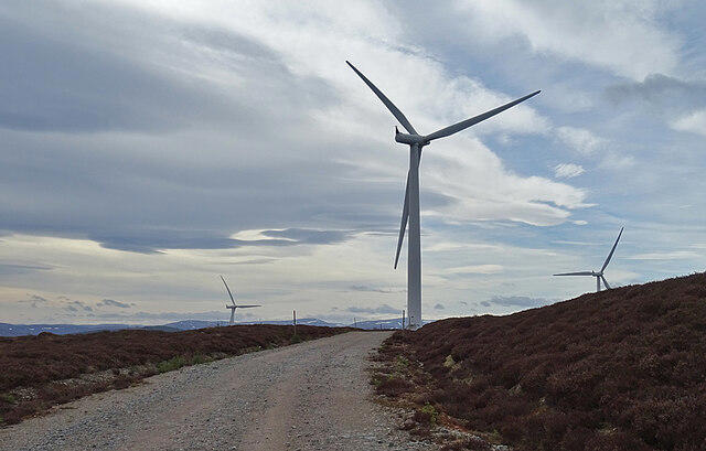 Photo could not load
NJ3546 : Hill of Towie Wind Farm
Anne Burgess
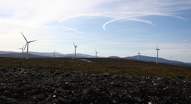 Photo could not load
NJ3546 : Knockan Wind Farm
Anne Burgess
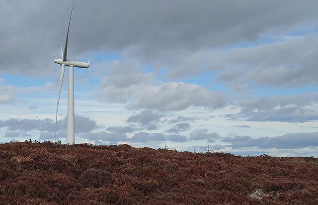 Photo could not load
NJ3546 : Hill of Towie Wind Farm
Anne Burgess
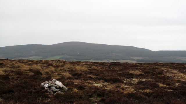 Photo could not load
NJ3546 : Summit area of Knockan
Trevor Littlewood
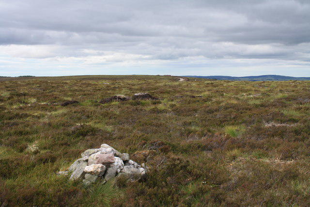 Photo could not load
NJ3546 : Summit of Knockan
Colin Kinnear
Hill facts and local notes
Classifications
Elevation
372m
1,220 ft
Prominence
179m
Coordinates
57.5039, -3.0847
NJ351464
OS Map
28
Explorer: 424S
At the Summit
The summit features a modest cairn and a delightful panoramic view point that gives a sense of standing on top of the world - or at least a good bit of it!
Terrain & Geology
Knockan is primarily composed of limestone and dolostone, formed during the Silurian period. The area features interesting karst formations and unique cave systems, making it a geologist's delight.
Views & Scenery
On a clear day, you can see the Mourne Mountains to the east and the coastline of the Irish Sea stretching out to the horizon.
History & Heritage
Name Origin
The name Knockan derives from the Irish 'Cnocan’, meaning 'little hill', which is a rather modest self-description for such a charming summit!
Historical Significance
The area has historical significance due to its ancient stone structures and connection to local folklore.
Getting There & Facilities
Parking
A small car park located at the base of the hill, accessible from the A24. It can fill up quickly on weekends, so early birds catch the worm - or, in this case, the parking spot!
Public Transport
Limited public transport options exist; local buses may drop you off several kilometers away. Better to arrange a lift or bring your own wheels.
Nearby Facilities
Nearby Castlewellan offers cafes, public toilets, and options for overnight stays if you're planning to make a weekend of your adventure.
Safety Information
Known Hazards
- Weather can be changeable; prepare for wind and rain. Slippery rocks in wet conditions can pose a risk.
General Safety Tips
- Check weather conditions before setting out
- Carry appropriate clothing and equipment
- Let someone know your planned route
- Take a map, compass, and GPS device
- Carry emergency supplies: food, water, first aid kit, torch
Hills
Some common questions about the hills answered
Are there group walks up Knockan?
Many walkers use Walkmates to join or organise walks with others. You can check for group walks around Knockan through the maps
Are there other walkers around Knockan?
Activity varies by location and time, but Walkmates lets you see whether others have shared walks or shown interest in this area. Find other people through the walking friends search walking friends for Knockan search or of course create your own walk for Knockan
Can I organise a walk to Knockan?
Yes. If there aren’t any walks listed already, you can create a walk and make it available for others to join.
If you're signed up to Walkmates, you can create a walk to Knockan.
How do I find a walk up this hill?
There are often multiple ways to walk this hill, depending on experience and route preference. Walkmates helps you explore walks and routes that others have shared.
Can I suggest a new route up Knockan?
Yes. You can suggest or create routes to share with others. Walkmates focuses on the social side of walking, so routes are used to help people organise walks and explore areas together, rather than as detailed navigation tools or route libraries.
Other uses really appreciate knowledgeable walkers sharing their routes. Share your favourite route to Knockan here
The is an error or something incorrect about this hill. How do I let you know?
We always strive to keep the information on Walkmates as accurate as possible. If you find an error, please let us know through the contact form and we'll aim to correct it as quickly as possible
Community Discussion
Comments
Location
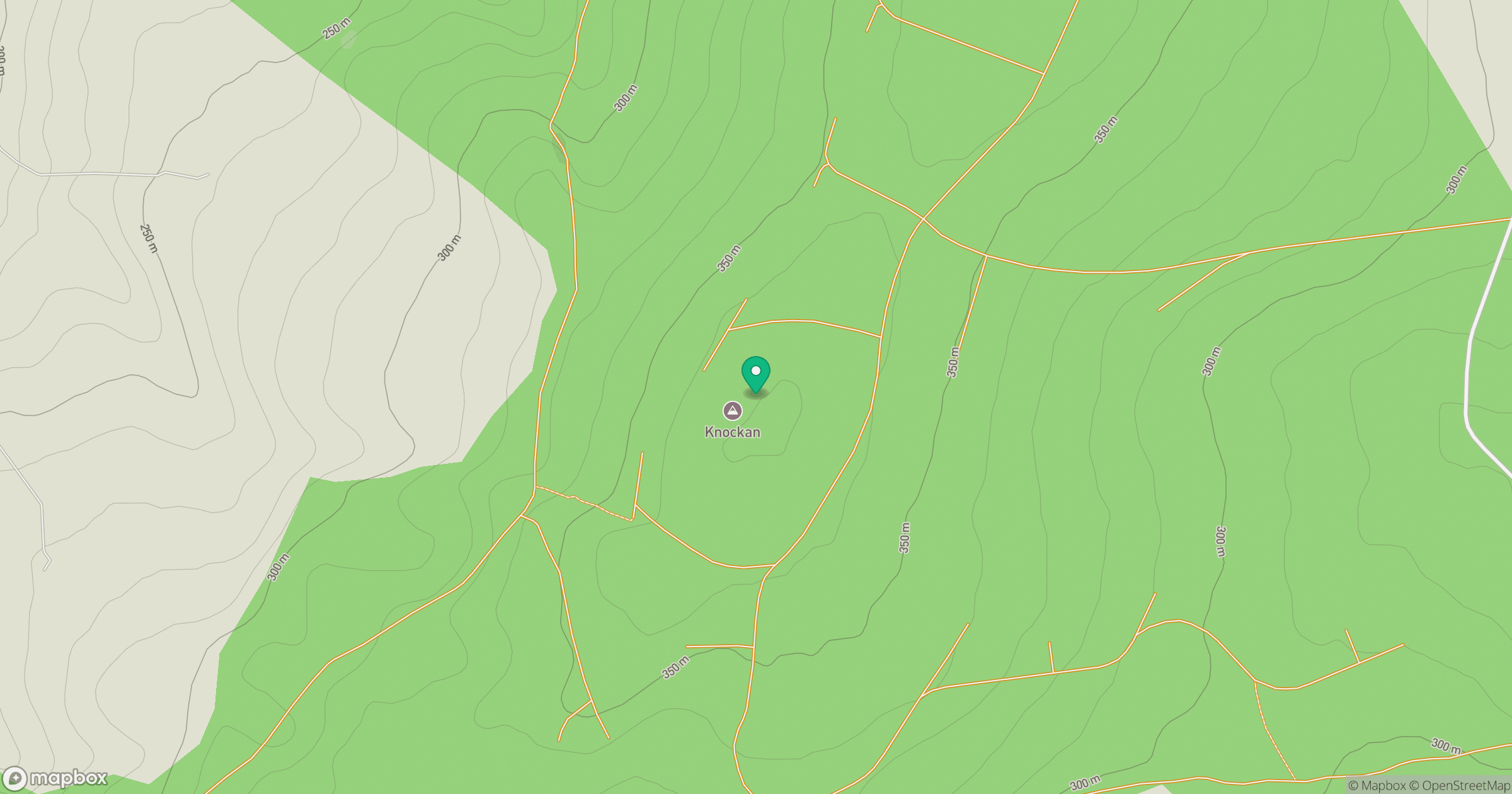
Grid reference: NJ351464
View on OpenStreetMapOpens a map in a new tab, centred on the hill.
No comments yet. Be the first.