

Ben Aigan
Good walks are even better shared.
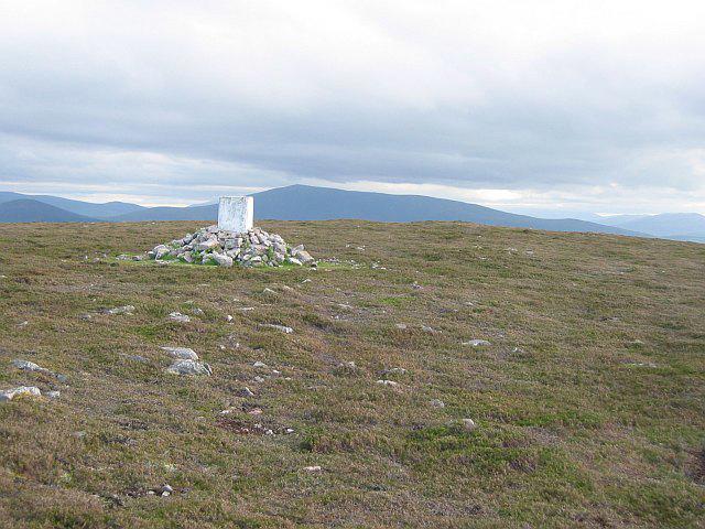
NJ3148 : Summit Track
Anne Burgess Photo source
Overview
Ben Aigan: An Overview
Welcome to Ben Aigan, a magnificent Marilyn situated in the heart of the Scottish Highlands, peeking at an elevation of 528 meters. As one of the lesser-known hills, it offers an escape from the busier trails while still delivering stunning views and a satisfying trek.
Geology
Ben Aigan is predominantly made up of granite and quartzite. These resilient materials contribute to the rugged aesthetic of the hill, complete with granite outcrops and weathered stones. Make sure to stop and admire these natural sculptures—nature really knows how to make art!
Routes
One popular route is the Aigan Hill Circuit, spanning about 7 kilometres and typically taking around 3 hours to complete. This moderate trail takes you through enchanting woodland and opens up to panoramic views that will leave you grinning like a Cheshire cat!
Summit Features
The summit is highlighted by a small yet proud stone cairn, which is a classic feature for summits in Scotland. Not to mention, the views from up top are nothing short of spectacular—grab your camera and prepare to snap pictures that will make your friends green with envy!
Terrain Type
Expect a mixture of grassy slopes interspersed with rocky outcrops. Do watch your step; the terrain has its personality, and it might just try to trip you up in the boggier parts!
Views
The view from the top is worthy of the climb. With the Cairngorms to the north and the picturesque Spey Valley below, you’ll be mesmerised by the sheer beauty surrounding you. The best time for this scenic display is undoubtedly during autumn, when the foliage puts on its best costume.
Hazards
While not particularly hazardous, pay attention to loose rocks and watch out for those surprise mud patches after a good rain. And remember, the Highlands can be a bit moody with its weather, so don’t forget to check the forecast!
Nearby Summits
If you're feeling particularly sprightly, you may want to explore nearby summits such as Ben Rinnes and Glenlivet Hill. They're within a hopping distance and can make for fantastic companions on your hiking escapade.
Access
Parking is available at the Aigan car park, right off the A95. If you're relying on public transport, you might find a bus to Aberlour a handy starting point, although it may require a bit of walking to get to the foot of the hill.
Facilities
Though facilities are sparse on the hill itself, nearby Aberlour is a delightful little town, complete with cafes and shops to fuel your adventure—or to treat yourself after a hard day's hike!
History
The name ‘Ben Aigan’ comes from the Gaelic term for 'the place of the rivers,' which truly captures the essence of the beautiful waterways in the vicinity. Historically significant, the area is rich with archaeological findings that echo tales of ancient inhabitants.
So, if you're keen for a trek that combines arresting scenery with a sprinkling of history, Ben Aigan is the hill for you. Just remember to pack your sense of adventure (and maybe a sandwich or two)!
Explore routes near Ben Aigan
Walks starting near this hill. Open a route to check its map, distance and full itinerary.
Craigellachie to Aberlour: Speyside Railway Path Return
View route
Aberlour to Carron Bridge: Speyside Way riverside return
View route
Elgin guided night walk
View route
Findhorn guided night walk
View route
Route planning notes
These notes describe possible approaches. Check a route's map and access information when planning your walk.
Aigan Hill Circuit
A scenic loop that allows you to experience the best of Ben Aigan, blending woodland paths with panoramic views.
Make a day of it, together
Find someone to share the walk with, or organise a day out along a route you like.
Photo Gallery
View all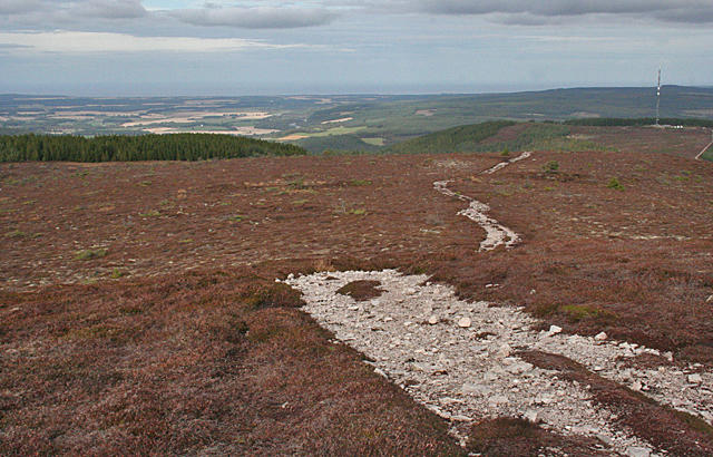 Photo could not load
NJ3148 : Summit Track
Anne Burgess
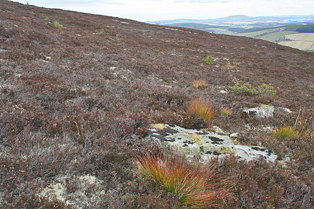 Photo could not load
NJ3148 : Ben Aigan
Anne Burgess
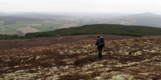 Photo could not load
NJ3148 : Southern slope of Ben Aigan
Trevor Littlewood
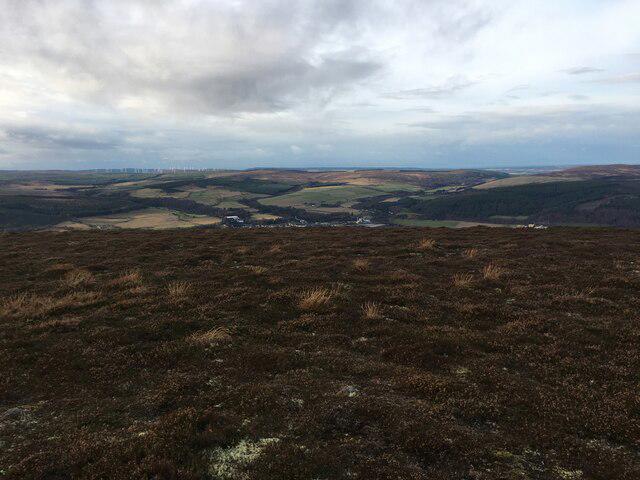 Photo could not load
NJ3048 : Near the top of Ben Aigan
Steven Brown
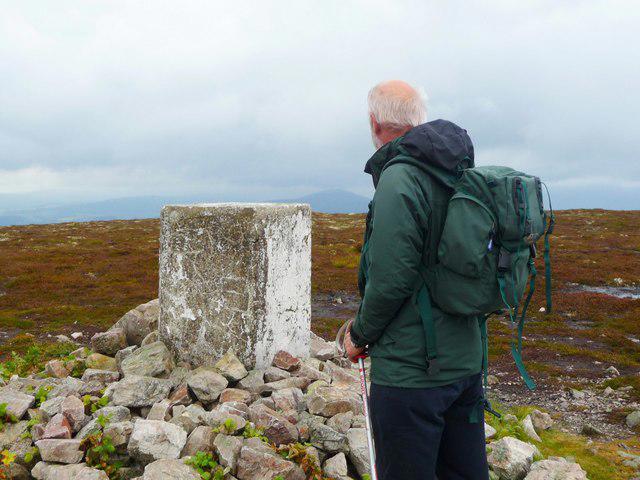 Photo could not load
NJ3148 : Summit cairn on Ben Aigan
ronnie leask
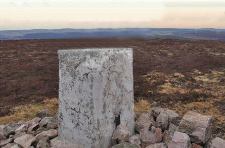 Photo could not load
NJ3048 : Ben Aigan Trigpoint Flush Bracket 11094
thejackrustles
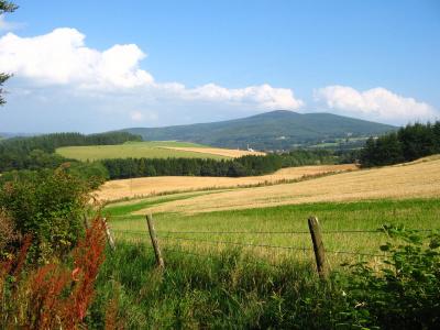 Photo could not load
NJ3148 : Ben Aigen in early autumn
James Combe
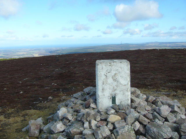 Photo could not load
NJ3048 : Ben Aigan trig
Iain Macaulay
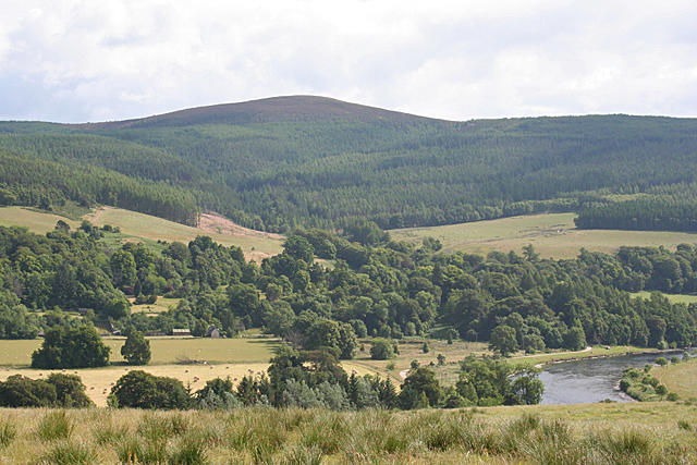 Photo could not load
NJ3048 : Ben Aigen from Hillockhead
Anne Burgess
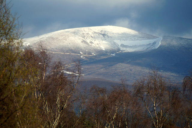
NJ3048 : Ben Aigan
Richard Webb
Hill facts and local notes
Classifications
Elevation
471m
1,545 ft
Prominence
289m
Coordinates
57.5182, -3.1540
NJ309481
OS Map
28
Explorer: 424S
At the Summit
The summit is marked by a small stone cairn and offers breathtaking views over the surrounding landscape, including the River Spey.
Terrain & Geology
Ben Aigan is primarily composed of granite and quartzite, both of which shed some beautifully rugged cliffs and provide a rich habitat for diverse flora and fauna.
Views & Scenery
From the summit, you'll be treated to views of the Cairngorms, Spey Valley, and the Moray Firth on a clear day.
History & Heritage
Name Origin
The name 'Aigan' is derived from the Gaelic word 'Aighean,' meaning 'the place of the rivers'—fitting for this picturesque area.
Historical Significance
Historically, the area around Ben Aigan has been inhabited for thousands of years and is rich in archaeological significance.
Getting There & Facilities
Parking
The nearest parking is at the Aigan car park, just off the A95 road, with space for several cars.
Public Transport
Public transport access is limited, but bus routes to nearby towns such as Aberlour can provide a starting point for those more adventurous.
Nearby Facilities
There are limited facilities on the mountain itself, but Aberlour offers several cafes, toilets, and shops for stocking up before your trek.
Safety Information
Known Hazards
- Loose rocks, sudden weather changes, and the tendency for paths to become muddy after rain.
General Safety Tips
- Check weather conditions before setting out
- Carry appropriate clothing and equipment
- Let someone know your planned route
- Take a map, compass, and GPS device
- Carry emergency supplies: food, water, first aid kit, torch
Hills
Some common questions about the hills answered
Are there group walks up Ben Aigan?
Many walkers use Walkmates to join or organise walks with others. You can check for group walks around Ben Aigan through the maps
Are there other walkers around Ben Aigan?
Activity varies by location and time, but Walkmates lets you see whether others have shared walks or shown interest in this area. Find other people through the walking friends search walking friends for Ben Aigan search or of course create your own walk for Ben Aigan
Can I organise a walk to Ben Aigan?
Yes. If there aren’t any walks listed already, you can create a walk and make it available for others to join.
If you're signed up to Walkmates, you can create a walk to Ben Aigan.
How do I find a walk up this hill?
There are often multiple ways to walk this hill, depending on experience and route preference. Walkmates helps you explore walks and routes that others have shared.
Can I suggest a new route up Ben Aigan?
Yes. You can suggest or create routes to share with others. Walkmates focuses on the social side of walking, so routes are used to help people organise walks and explore areas together, rather than as detailed navigation tools or route libraries.
Other uses really appreciate knowledgeable walkers sharing their routes. Share your favourite route to Ben Aigan here
The is an error or something incorrect about this hill. How do I let you know?
We always strive to keep the information on Walkmates as accurate as possible. If you find an error, please let us know through the contact form and we'll aim to correct it as quickly as possible
Community Discussion
Comments
Location
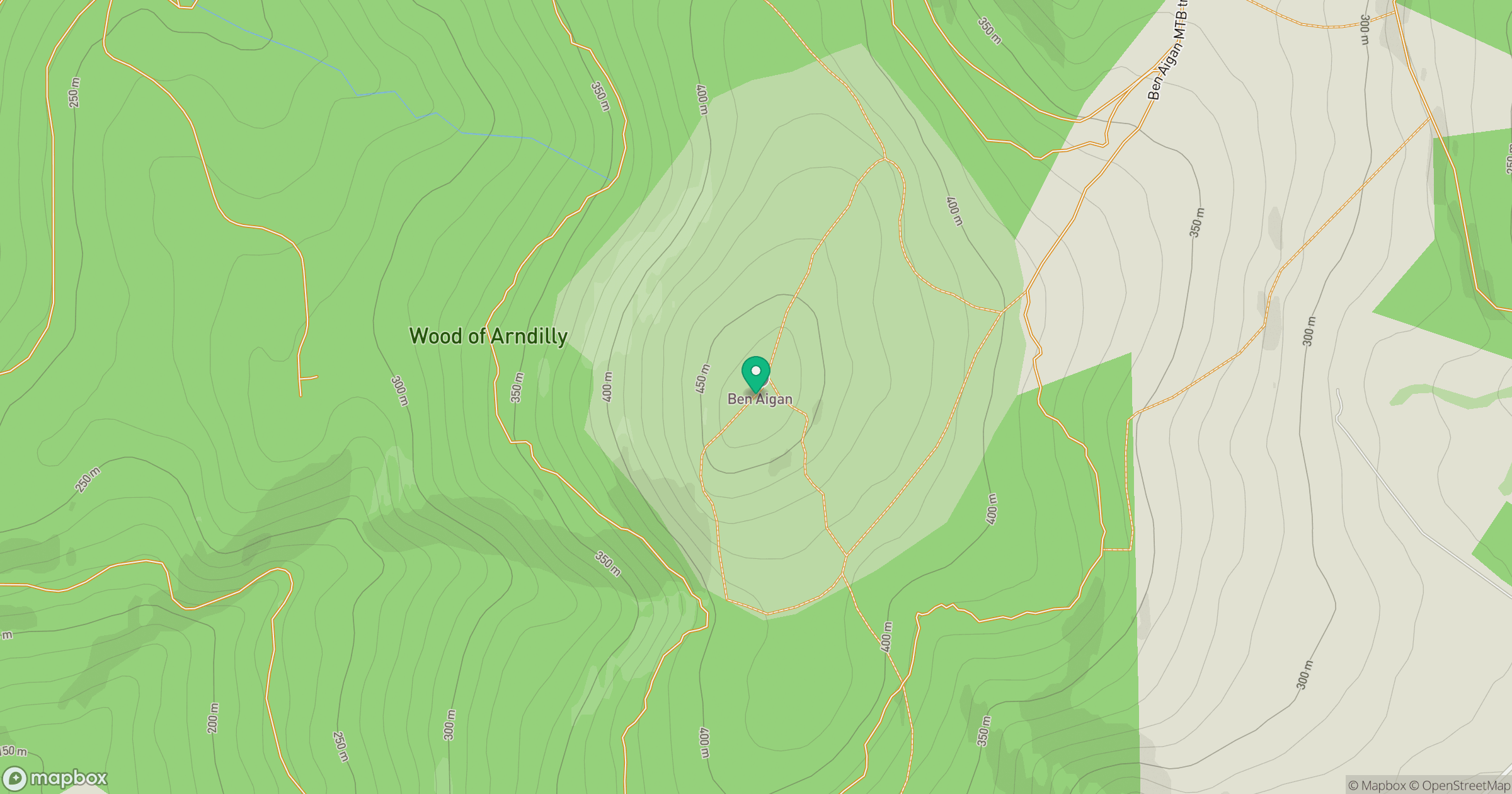
Grid reference: NJ309481
View on OpenStreetMapOpens a map in a new tab, centred on the hill.
No comments yet. Be the first.