

Irton Pike
Good walks are even better shared.
NY1201 : Summit of Irton Pike
Perry Dark Photo source
Overview
Irton Pike
Overview
Irton Pike, towering at 650 meters, stands as a regal gateway to the scenic wonders of the Lake District. This Marilyn, with its lush surroundings and rugged charm, invites hikers and nature lovers alike to explore its beauty.
Geology
Far from ordinary, Irton Pike showcases a captivating array of volcanic rock formations from the late Ordovician period. Nature's sculptor has been at work here, revealing metamorphic marvels. The rocky terrains tell a tale of geological history—definitely more interesting than breakfast reading!
Routes
The most popular route is the Irton Pike Circular Walk, stretching around 6.5 kilometers and taking approximately 2.5 hours. The moderate challenge is just enough to work up an appetite for that post-hike cake!
Summit Features
Reaching the summit, greeted by a grand stone cairn and a trig point, is a rewarding experience. Don’t forget to snap a pic—cairns are excellent at keeping secrets, but they don’t mind attention!
Terrain
Expect a mixed bag of terrain: rocky outcrops, grassy slopes, and the occasional boggy patch to keep your footing skills sharp. In other words, perfect for working those calves while testing your balance!
Views
Once at the top, indulge in panoramic views of the Scafell Range and Wasdale. As you gaze into the distance, let your imagination run wild—perhaps the Isle of Man is a friendly giant just peeking over the horizon. Best enjoy these views during spring or autumn when nature dons its finest colours.
Hazards
Be mindful of loose rocks along the ascent; a sturdy pair of boots and a determined spirit are essential. And should fog descend like a curtain, trust your map and compass—they're better company than a weather app!
Nearby Summits
Nearby peaks such as Black Combe and Swinside offer opportunities for further adventures. Always best to take these things one step at a time!
Access
Parking is available at the roadside near Irton, but don’t dawdle—weekends can get crowded. Local buses from nearby towns also provide a convenient option for those opting to skip the drive.
Facilities
While the mountain itself offers little in the way of amenities, the nearby village of Irton features a lovely café to refuel your body and public toilets for, well, the other kind of relief.
History
With a name meaning 'river town', Irton has a rich local history intertwined with water. Irton Pike has become a cherished spot for generations, enticing both adventurers and those simply wanting a delightful day out in nature.
In summary, Irton Pike is a must-visit for hikers looking to embrace the Lake District's charm. With its accessible routes, stunning views, and a sprinkle of local lore, you’ll leave with memories to last a lifetime!
Explore routes near Irton Pike
Walks starting near this hill. Open a route to check its map, distance and full itinerary.
Scafell Pike via Brown Tongue and Hollow Stones
View route
Steeple, Scoat Fell and Haycock from Ennerdale
View route
Scafell Pike from Seathwaite via the Corridor Route
View route
Great Carrs Halifax Wreckage from Wrynose Pass
View route
Route planning notes
These notes describe possible approaches. Check a route's map and access information when planning your walk.
Irton Pike Circular Route
A scenic circular walk beginning from the village of Irton, offering stunning views of the surrounding fells.
Make a day of it, together
Find someone to share the walk with, or organise a day out along a route you like.
Photo Gallery
View all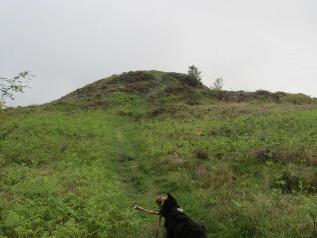 Photo could not load
NY1201 : Summit of Irton Pike
Perry Dark
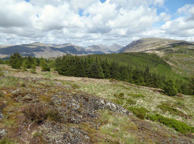 Photo could not load
NY1201 : The Wasdale Fells from Irton Pike
Adrian Taylor
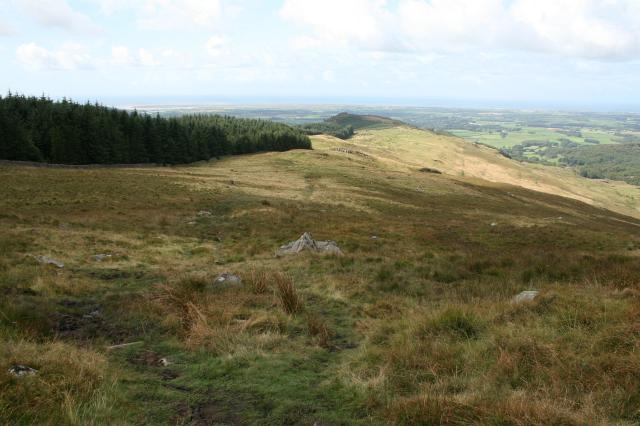 Photo could not load
NY1201 : Irton Pike.
Steve Partridge
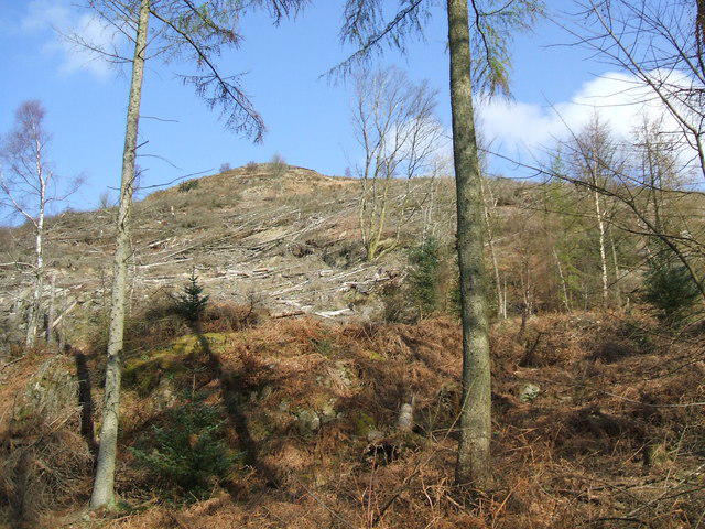 Photo could not load
NY1201 : Irton Pike
David Brown
Hill facts and local notes
Classifications
Elevation
229m
751 ft
Prominence
25m
Coordinates
54.4018, -3.3560
NY120015
OS Map
89
Explorer: OL6N
At the Summit
The summit features a prominent stone cairn and offers a trig point that serves as a perfect photo opportunity. Be sure to check if the summit dogs are in the mood for a photo!
Terrain & Geology
Irton Pike is primarily composed of volcanic rocks formed during the late Ordovician to early Silurian period. The rugged terrain showcases various metamorphic features that fascinate geologists and enthusiasts alike.
Views & Scenery
From the summit, admire views of the Scafell Range, Wastwater, and the stunning landscape of Wasdale. On a clear day, the Isle of Man may even make a shy appearance on the horizon.
History & Heritage
Name Origin
The name 'Irton' derives from 'Ir' (river) and 'ton' (town), indicating the area’s historical links to water bodies, which flow as artful reminders of nature's design.
Historical Significance
Irton Pike has long been a beloved destination for walkers, artists, and nature enthusiasts, featuring in local folklore as a ‘watcher’ of the surrounding valleys.
Getting There & Facilities
Parking
There is free parking available at the roadside near Irton, but it can fill up quickly on weekends; arrive early to secure your spot!
Public Transport
Regular bus services run from nearby towns like Bootle and Eskdale to Irton, check local schedules for routes.
Nearby Facilities
While there aren’t facilities directly on the mountain, Irton village offers a café for refreshments and public toilets for pre-walk comfort.
Safety Information
Known Hazards
- Beware of loose rocks, especially on the ascent. Fog can roll in, so carry a map and compass to avoid wandering off into the unknown.
General Safety Tips
- Check weather conditions before setting out
- Carry appropriate clothing and equipment
- Let someone know your planned route
- Take a map, compass, and GPS device
- Carry emergency supplies: food, water, first aid kit, torch
Hills
Some common questions about the hills answered
Are there group walks up Irton Pike?
Many walkers use Walkmates to join or organise walks with others. You can check for group walks around Irton Pike through the maps
Are there other walkers around Irton Pike?
Activity varies by location and time, but Walkmates lets you see whether others have shared walks or shown interest in this area. Find other people through the walking friends search walking friends for Irton Pike search or of course create your own walk for Irton Pike
Can I organise a walk to Irton Pike?
Yes. If there aren’t any walks listed already, you can create a walk and make it available for others to join.
If you're signed up to Walkmates, you can create a walk to Irton Pike.
How do I find a walk up this hill?
There are often multiple ways to walk this hill, depending on experience and route preference. Walkmates helps you explore walks and routes that others have shared.
Can I suggest a new route up Irton Pike?
Yes. You can suggest or create routes to share with others. Walkmates focuses on the social side of walking, so routes are used to help people organise walks and explore areas together, rather than as detailed navigation tools or route libraries.
Other uses really appreciate knowledgeable walkers sharing their routes. Share your favourite route to Irton Pike here
The is an error or something incorrect about this hill. How do I let you know?
We always strive to keep the information on Walkmates as accurate as possible. If you find an error, please let us know through the contact form and we'll aim to correct it as quickly as possible
Community Discussion
Comments
Location
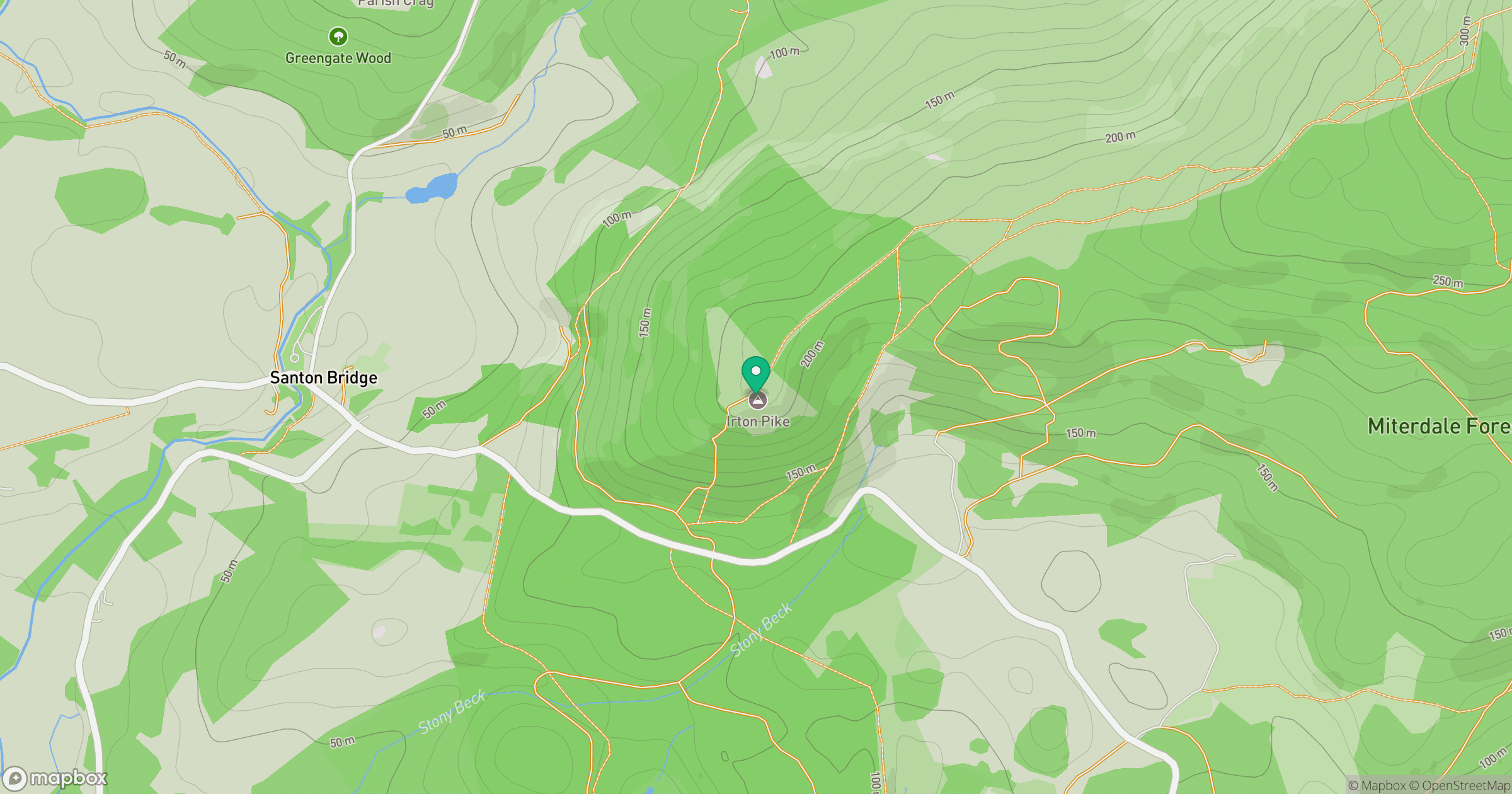
Grid reference: NY120015
View on OpenStreetMapOpens a map in a new tab, centred on the hill.
Nearby Hills
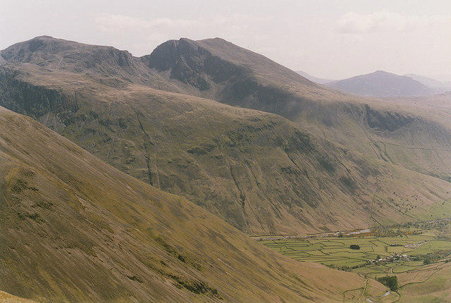
Pillar
892m
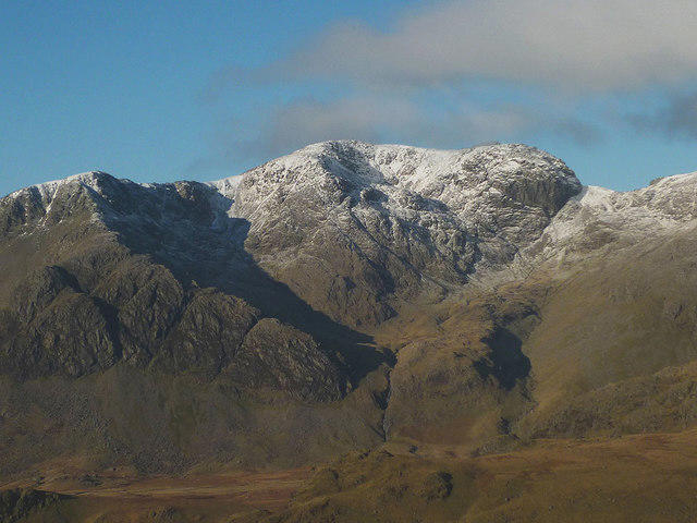
Scafell
964m
High Stile [Grey Crag - High Stile]
806m
Black Combe
600m
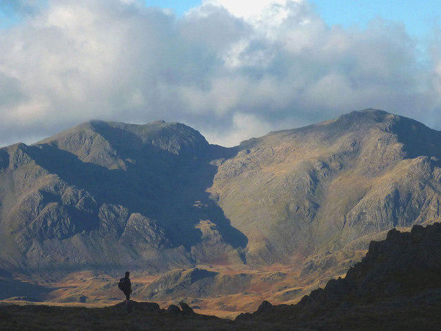
Scafell Pike
978m
No comments yet. Be the first.