

Hill of Camb
Good walks are even better shared.
Overview
Hill of Camb
Nestled in the rolling hills of the Lincolnshire Wolds, the Hill of Camb stands as a delightful destination for hikers and nature lovers alike. With an elevation of 190 meters, this Marilyn offers both a gentle challenge and stunning views that can make even the grumpiest mountain goat smile!
Geology
The geology of Camb is primarily composed of chalk and limestone, creating a unique ecosystem. The chalky soil supports diverse wildlife, including rare plants and fluttering butterflies that seem to dance with joy as you traverse the hills. So, don’t forget your binoculars; you may spot a few rare species soaring above.
Routes
A popular route is the Camb Grange Walk, a circular trek commencing in the quaint village of South Willingham. Spanning 5.5 km, this walk will take around 2.5 hours, making it perfect for a leisurely afternoon stroll or a brisk morning jaunt. The route is primarily easy, allowing hikers of all abilities to enjoy the scenery without breaking a sweat—or a leg!
Summit Features
Upon reaching the summit, you will be greeted by a modest trig point surrounded by carpets of wildflowers waving cheekily in the breeze. Not only is the trig point great for selfies, but there’s also a wooden bench nearby, should you wish to contemplate life’s great mysteries—or just enjoy a snack.
Terrain Type
The terrain is characterized by gentle rolling hills and grassy patches, punctuated by occasional rocky outcrops. These gentle slopes make it an excellent spot for families, dog walkers, and anyone looking to clear their head while getting a bit of fresh air.
Views
From the summit, the views are expansive and exhilarating. On a clear day, the sights stretch as far as the North Sea and the Humber Bridge can be seen, promising a patchwork of lush greens and sparkling blues.
For the best views, consider visiting in spring or early summer when the landscape is at its most vibrant. Trust us; it’s worth every step!
Hazards
As with any outdoor adventure, a few hazards may crop up. Keep an eye out for livestock grazing peacefully along the trails; they'll likely be more interested in munching grass than in you, but it’s wise to have your pooch on a lead!
Nearby Summits
Should your hiking spirit still hunger for more after conquering Camb, you could head over to Ludlow Hill, rising modestly at 172 meters.
Access
Getting to Hill of Camb is straightforward. The nearest parking area can be found on Main Street in South Willingham, with ample space for several vehicles. The village is serviced by local buses, making it reachable for those opting against driving. Louth, which is approximately 8 miles away, offers a variety of cafes and shops for refreshment after your exertions.
History
The name 'Camb' carries an interesting slice of history, derived from Old English, meaning a rounded hill—it seems fitting, doesn’t it? Historically, the hill served as a vantage point for observation, reflecting its significance in the landscape.
Conclusion
In summary, the Hill of Camb is a charming destination for those looking to experience the beauty of the Lincolnshire Wolds without the crowds of more popular tourist spots. Bring your sense of adventure, a good pair of walking boots, and perhaps a sandwich or two (the bench won’t wait forever!). Happy hiking!
Explore routes near Hill of Camb
Public walks starting within 80 km of this hill. Nearby does not mean a route reaches the summit; check its map and access before setting out.
No public routes are currently listed within 80 km of Hill of Camb on Walkmates. This does not mean there are no paths here. Explore the map and check local access information before planning a walk.
Route planning notes
These notes describe possible approaches, not verified navigable routes or permission to cross land. Check current paths, local access rules and conditions before setting out.
Camb Grange Walk
A delightful circular route starting from the village of South Willingham, leading through picturesque farmland and offering a gentle ascent to the summit.
Make a day of it, together
Find someone to share the walk with, or organise a day out along a route you like.
Photo Gallery
View all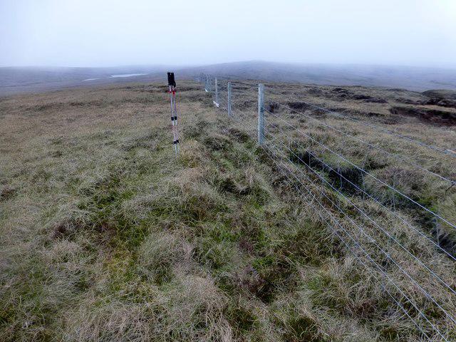 Photo could not load
HU4992 : Misty Moorland View
Rude Health
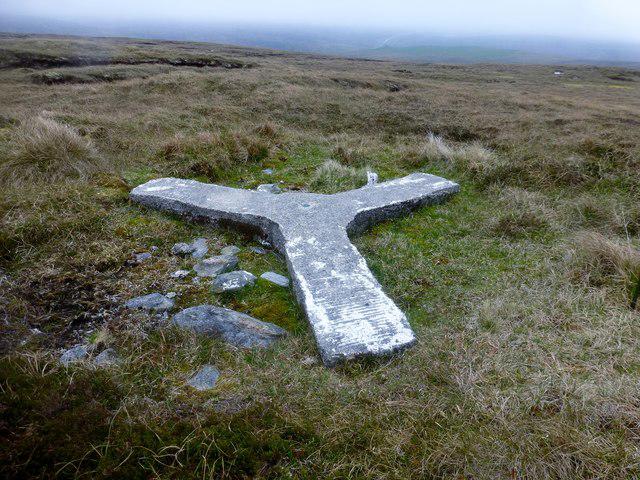 Photo could not load
HU5092 : Curry Stool Hill Of Camb
Rude Health
Hill facts and local notes
Classifications
Elevation
126m
413 ft
Prominence
123m
Coordinates
60.6157, -1.0880
HU500928
OS Map
1 2
Explorer: 470S
At the Summit
The summit features a small, discreet trig point nestled among wildflowers, with a charming wooden bench perfect for a well-deserved rest.
Terrain & Geology
Predominantly chalk and limestone, characteristic of the Lincolnshire chalkland, providing a rich habitat for diverse flora and fauna.
Views & Scenery
On a clear day, you can see as far as the North Sea and catch glimpses of the Humber Bridge in the distance.
History & Heritage
Name Origin
The name 'Camb' is believed to derive from Old English, meaning a rounded hill.
Historical Significance
Historically, the hill has been used as a vantage point for observation, reflecting its strategic importance in the local landscape.
Getting There & Facilities
Check current local access restrictions, parking rules and transport timetables before travelling. These notes do not confirm public access to the summit.
Parking
Parking is available on Main Street, South Willingham, with space for several cars.
Public Transport
The nearest bus stop is in South Willingham, with services running from nearby towns.
Nearby Facilities
There are no facilities directly on the hill, but Louth offers various cafes and shops for refreshments.
Safety Information
Known Hazards
- Occasional livestock on the route; please be respectful of animals and keep dogs under control.
General Safety Tips
- Check weather conditions before setting out
- Carry appropriate clothing and equipment
- Let someone know your planned route
- Take a map, compass, and GPS device
- Carry emergency supplies: food, water, first aid kit, torch
Hills
Some common questions about the hills answered
Are there group walks up Hill of Camb?
Many walkers use Walkmates to join or organise walks with others. You can check for group walks around Hill of Camb through the maps
Are there other walkers around Hill of Camb?
Activity varies by location and time, but Walkmates lets you see whether others have shared walks or shown interest in this area. Find other people through the walking friends search walking friends for Hill of Camb search or of course create your own walk for Hill of Camb
Can I organise a walk to Hill of Camb?
Yes. If there aren’t any walks listed already, you can create a walk and make it available for others to join.
If you're signed up to Walkmates, you can create a walk to Hill of Camb.
How do I find a walk up this hill?
There are often multiple ways to walk this hill, depending on experience and route preference. Walkmates helps you explore walks and routes that others have shared.
Can I suggest a new route up Hill of Camb?
Yes. You can suggest or create routes to share with others. Walkmates focuses on the social side of walking, so routes are used to help people organise walks and explore areas together, rather than as detailed navigation tools or route libraries.
Other uses really appreciate knowledgeable walkers sharing their routes. Share your favourite route to Hill of Camb here
The is an error or something incorrect about this hill. How do I let you know?
We always strive to keep the information on Walkmates as accurate as possible. If you find an error, please let us know through the contact form and we'll aim to correct it as quickly as possible
Community Discussion
Comments
Location
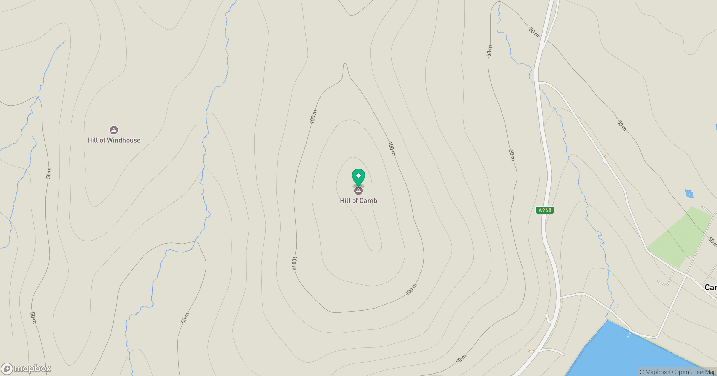
Grid reference: HU500928
View on OpenStreetMapOpens a map in a new tab, centred on the hill.
Hills within 30 km
Straight-line distance, not a walking route or confirmation of access.
No comments yet. Be the first.