

Haystacks SE Top
Good walks are even better shared.
NY2012 : Above Seavy Knott
Michael Graham Photo source
Overview
Haystacks SE Top
Located in the heart of the Lake District, Haystacks SE Top stands proud at an elevation of 613 meters. It may not be the tallest peak in the region, but it certainly packs a punch for those looking to explore its rugged beauty.
Geology
The mountain is composed of Skiddaw slate, which dates back to the early Ordovician period. The unique geology not only forms the backbone of the mountain but also contributes to the striking landscapes encountered during the hike.
Routes
A popular option for adventurous souls is the Haystacks Circuit from Buttermere. This scenic route takes approximately 3.5 hours and spans around 9.5 km. Starting at the picturesque Buttermere, hikers will find themselves meandering along the lake's edge before tackling the ascent via the stunning Sour Milk Gill. It's a moderate hike, so grab your boots and let's go!
Summit Features
As you reach the summit, you are greeted by a charming stone cairn that provides an excellent photo backdrop. Don't forget to give it a quick pat; it brings good luck (or so they say)!
Terrain Type
Expect a mixture of rocky outcrops and grassy slopes, interspersed with sections that require a careful foot placement. Just remember, the Lake District loves to keep its trails interesting, especially when the weather is less than cooperative.
Views
The vistas from the top are nothing short of spectacular. You can marvel at the peaks of Fleetwith Pike and the expansive Buttermere Valley, with the azure waters of Buttermere glistening below. For the finest views, consider timing your visit for late spring or early autumn when the landscape is in full colour.
Hazards
As with any outdoor adventure, there are a few hazards to keep in mind. Watch out for loose rocks and slippery patches, especially after a downpour. Proper footwear is a must, but if you forget, don't worry, just try and channel your inner mountain goat!
Nearby Summits
Nearby, you'll find the impressive Fleetwith Pike, reaching 648 meters, and the ever-popular Haystacks, which sits at 597 meters. Both are lovely companions for those looking to extend their hiking adventure.
Access
Getting to Haystacks SE Top is relatively straightforward. Park your car at the Buttermere Village Car Park, which can be quite busy, especially during the summer months. If you fancy leaving the car behind, regular bus services operate from Keswick to Buttermere.
Facilities
Buttermere is a quaint village with a couple of delightful cafes and pubs, perfect for refuelling after your trek. The Bridge Hotel is a beloved local spot, and rest assured, public toilets can be found near the car park for your convenience.
History
The name 'Haystacks' likely harks back to old English terms for haystacks, reflecting the pastoral landscape that surrounds the area. This mountain holds a special place in the hearts of many, particularly Alfred Wainwright, who termed it his favourite fell – high praise indeed!
So grab your walking gear, your trusty map, and a sarnie or two, and set off for an adventure that promises both laughter and awe-inspiring landscapes. Happy hiking!
This detailed write-up should give you all the necessary information to plan your trip to Haystacks SE Top, ensuring a day well spent in one of the most beautiful regions of the UK.
Explore routes near Haystacks SE Top
Walks starting near this hill. Open a route to check its map, distance and full itinerary.
Scafell Pike from Seathwaite via the Corridor Route
View route
Scafell Pike via Brown Tongue and Hollow Stones
View route
Steeple, Scoat Fell and Haycock from Ennerdale
View route
Bow Fell from Langdale
View route
Route planning notes
These notes describe possible approaches. Check a route's map and access information when planning your walk.
Haystacks Circuit from Buttermere
A popular circular route that takes you around the scenic shores of Buttermere, ascending Haystacks SE Top via the spectacular Sour Milk Gill.
Make a day of it, together
Find someone to share the walk with, or organise a day out along a route you like.
Photo Gallery
View all Photo could not load
NY2012 : Above Seavy Knott
Michael Graham
 Photo could not load
NY2012 : Helicopter above Blackbeck Tarn
Michael Graham
 Photo could not load
NY1912 : Frozen Tarn Haystacks
Michael Graham
 Photo could not load
NY2012 : Blackbeck Tarn
Michael Graham
 Photo could not load
NY1912 : Rough country between Blackbeck Tarn and Innominate Tarn
Trevor Littlewood
 Photo could not load
NY2012 : Perched Rock
Michael Graham
 Photo could not load
NY1912 : Innominate Tarn with Great Gable for company
Ian Greig
 Photo could not load
NY2012 : Perched Rock
Michael Graham
 Photo could not load
NY2012 : Perched Rock
Michael Graham

NY2012 : Above Blackbeck Tarn
Michael Graham
Hill facts and local notes
Classifications
Elevation
543m
1,781 ft
Prominence
24m
Coordinates
54.5032, -3.2376
NY199126
OS Map
89 90
Explorer: OL4S
At the Summit
The summit features a small stone cairn, offering a perfect photo op against the backdrop of the surrounding peaks.
Terrain & Geology
The mountain is primarily composed of Skiddaw slate and features various rock formations, providing a fascinating glimpse into the geological history of the Lake District.
Views & Scenery
From the summit, you can enjoy breathtaking views of Fleetwith Pike, the extensive Buttermere Valley, and the shimmering waters of Buttermere itself.
History & Heritage
Name Origin
The name 'Haystacks' likely derives from the old English term for haystacks, referring to the shape of the hillside.
Historical Significance
Haystacks SE Top is a celebrated peak in the Lake District, beloved by Alfred Wainwright who described it as his favourite fell.
Getting There & Facilities
Parking
Buttermere Village Car Park, which can get quite busy during peak seasons, so arrive early to secure a spot.
Public Transport
Regular bus services run from Keswick to Buttermere; check local timetables for the latest information.
Nearby Facilities
Buttermere has a selection of cafes and pubs, including the famous Bridge Hotel, and public toilets are available near the car park.
Safety Information
Known Hazards
- Beware of loose rocks and slippery paths, particularly in wet conditions; it's advisable to wear sturdy footwear.
General Safety Tips
- Check weather conditions before setting out
- Carry appropriate clothing and equipment
- Let someone know your planned route
- Take a map, compass, and GPS device
- Carry emergency supplies: food, water, first aid kit, torch
Hills
Some common questions about the hills answered
Are there group walks up Haystacks SE Top?
Many walkers use Walkmates to join or organise walks with others. You can check for group walks around Haystacks SE Top through the maps
Are there other walkers around Haystacks SE Top?
Activity varies by location and time, but Walkmates lets you see whether others have shared walks or shown interest in this area. Find other people through the walking friends search walking friends for Haystacks SE Top search or of course create your own walk for Haystacks SE Top
Can I organise a walk to Haystacks SE Top?
Yes. If there aren’t any walks listed already, you can create a walk and make it available for others to join.
If you're signed up to Walkmates, you can create a walk to Haystacks SE Top.
How do I find a walk up this hill?
There are often multiple ways to walk this hill, depending on experience and route preference. Walkmates helps you explore walks and routes that others have shared.
Can I suggest a new route up Haystacks SE Top?
Yes. You can suggest or create routes to share with others. Walkmates focuses on the social side of walking, so routes are used to help people organise walks and explore areas together, rather than as detailed navigation tools or route libraries.
Other uses really appreciate knowledgeable walkers sharing their routes. Share your favourite route to Haystacks SE Top here
The is an error or something incorrect about this hill. How do I let you know?
We always strive to keep the information on Walkmates as accurate as possible. If you find an error, please let us know through the contact form and we'll aim to correct it as quickly as possible
Community Discussion
Comments
Location
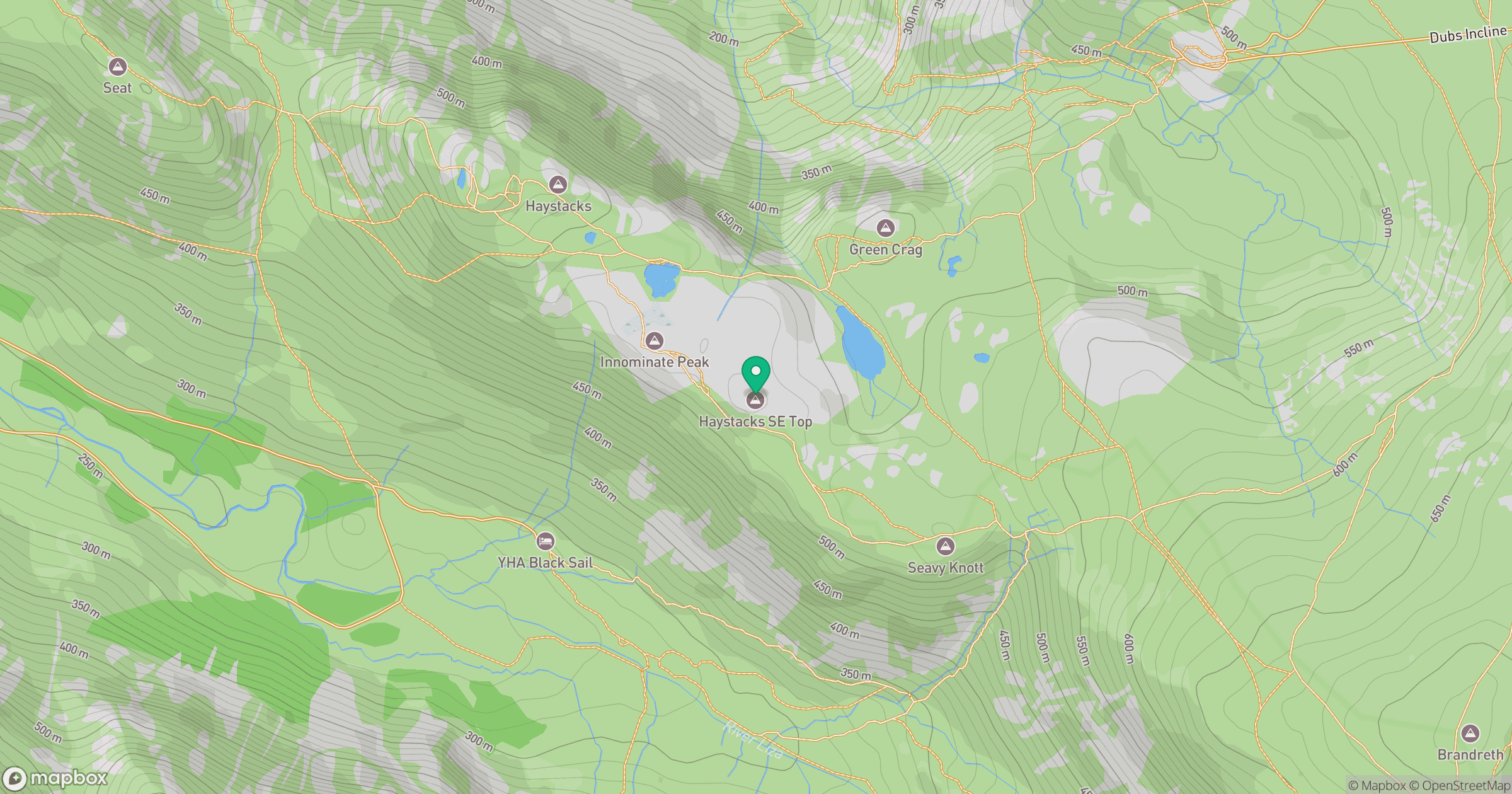
Grid reference: NY199126
View on OpenStreetMapOpens a map in a new tab, centred on the hill.
Nearby Hills
Fleetwith Pike
649m
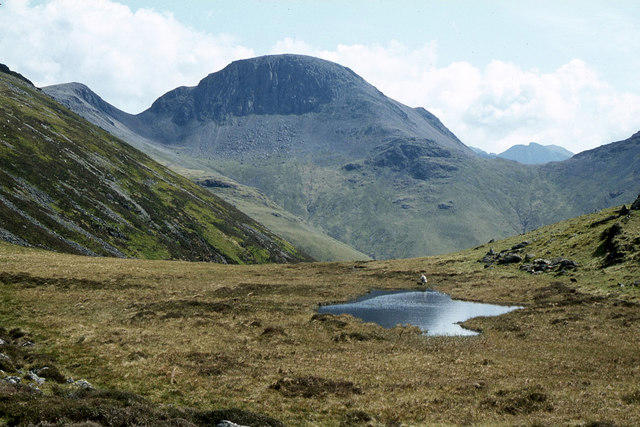
Great Gable
899m
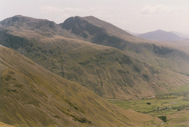
Pillar
892m
High Stile [Grey Crag - High Stile]
806m
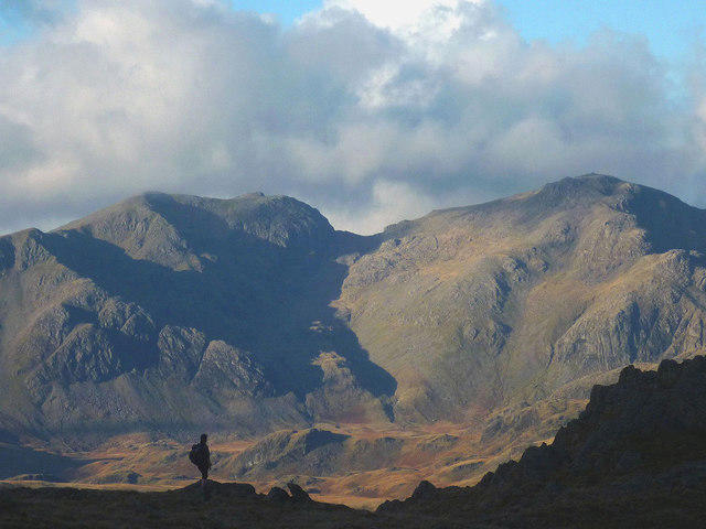
Scafell Pike
978m
No comments yet. Be the first.