

Haycock
Good walks are even better shared.
Overview
Haycock: The Peak of the Lake District
Nestled in the stunning Lake District, Haycock stands proudly at 620 meters above sea level, offering breathtaking vistas and an enjoyable hiking experience. Its charming name, meaning 'hay cask', hints at the pastoral past of this beautiful region.
Geology
Haycock's geological features are dominated by sedimentary rock, primarily sandstone, with some limestone deposits thrown in for good measure. The area's geology reflects the relentless forces of nature, showcasing erosion and weathering that have shaped its breathtaking beauty over millennia.
Routes
Two primary routes lead to the summit: the Haycock from Ennerdale Water route, a moderate trek of 9km that showcases picturesque landscapes and a gradual ascent. For the more adventurous, try the Haycock via Scoat Fell for a challenging 12km trek that combines both ascents with magnificent views as your reward.
Summit Features
Upon reaching the summit, you will be greeted by a substantial rock outcrop and a small cairn—perfect for capturing your triumph in a photograph (because, let’s face it, who doesn’t love a good summit selfie?).
Terrain Type
Expect a delightful mix of grassy slopes with a bit of rocky outcrop thrown in for good measure. Just watch out for the boggy spots—slipping here could lead to an unexpected mud bath!
Views
One of Haycock's greatest gifts is its stunning views. On a clear day, the sight of Scafell Pike and the Isle of Man in the distance will leave you speechless—after you’ve caught your breath, of course. Spring and autumn are particularly ideal times to enjoy this view as the colours and clarity are magnificent.
Hazards
While Haycock is mostly welcoming, keep an eye out for muddy paths, especially after the rain. As we all know, the weather can be as unpredictable as a cat on a hot tin roof, so always check the forecast before you set off!
Access
The nearest parking can be found at the Ennerdale Water car park, conveniently located just 1 km from the trailhead. If you're relying on public transport, the bus service from Whitehaven makes stops at Ennerdale Bridge. The closest fleshy town where you can find a proper meal and perhaps a pint is Egremont, about a 10-mile jaunt away!.
Facilities
This part of the Lake District is a bit sparse when it comes to facilities, so make sure to pack your sandwiches and drinks. No cafés are right on the doorstep, but fear not, Egremont has you covered.
Conclusion
In conclusion, Haycock is a mountain that beautifully encapsulates what the Lake District is all about. Whether you’re looking for a peaceful walk or a challenging hike, the allure of Haycock is hard to resist. So lace up those hiking boots and get ready for an unforgettable adventure!
Explore routes near Haycock
Walks starting near this hill. Open a route to check its map, distance and full itinerary.
Scafell Pike via Brown Tongue and Hollow Stones
View route
Steeple, Scoat Fell and Haycock from Ennerdale
View route
Scafell Pike from Seathwaite via the Corridor Route
View route
Bow Fell from Langdale
View route
Route planning notes
These notes describe possible approaches. Check a route's map and access information when planning your walk.
Haycock from Ennerdale Water
A scenic route leading from Ennerdale Water that incorporates some of the area's finest landscapes along with a gradual ascent to the summit.
Haycock via Scoat Fell
This route combines the experience of ascending both Haycock and Scoat Fell, offering a rewarding day out with panoramic views.
Make a day of it, together
Find someone to share the walk with, or organise a day out along a route you like.
Photo Gallery
View all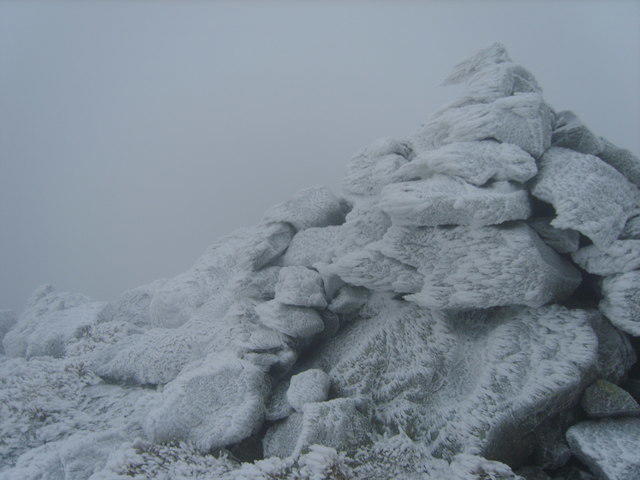 Photo could not load
NY1410 : Cairn on Gowder Crag
Michael Graham
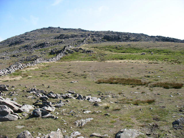 Photo could not load
NY1410 : North-west ridge of Haycock
David Purchase
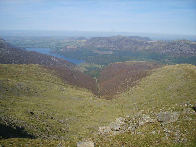 Photo could not load
NY1410 : Above Great Cove
Michael Graham
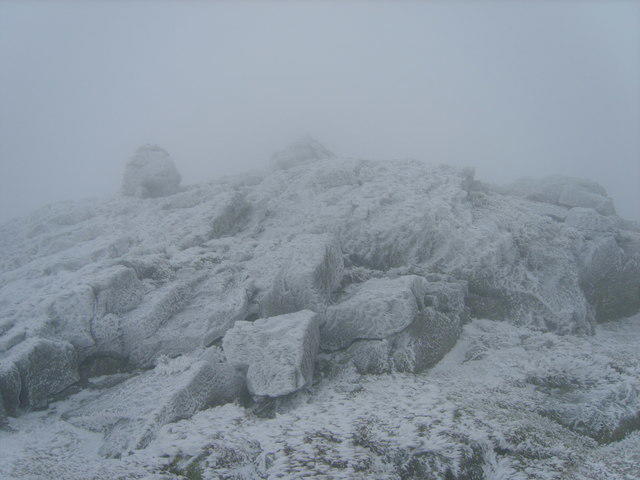 Photo could not load
NY1410 : On Gowder Crag
Michael Graham
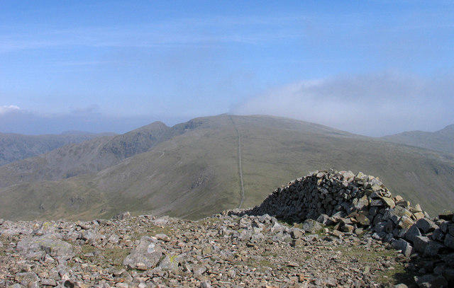 Photo could not load
NY1410 : Ruined wall on Haycock
Trevor Littlewood
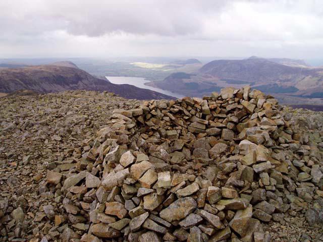 Photo could not load
NY1410 : Summit of Haycock
David Gruar
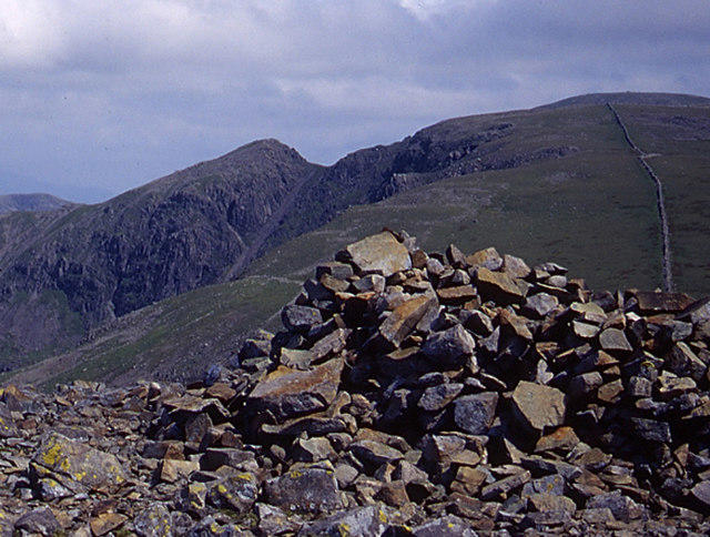 Photo could not load
NY1410 : Summit cairn, Haycock
Tom Richardson
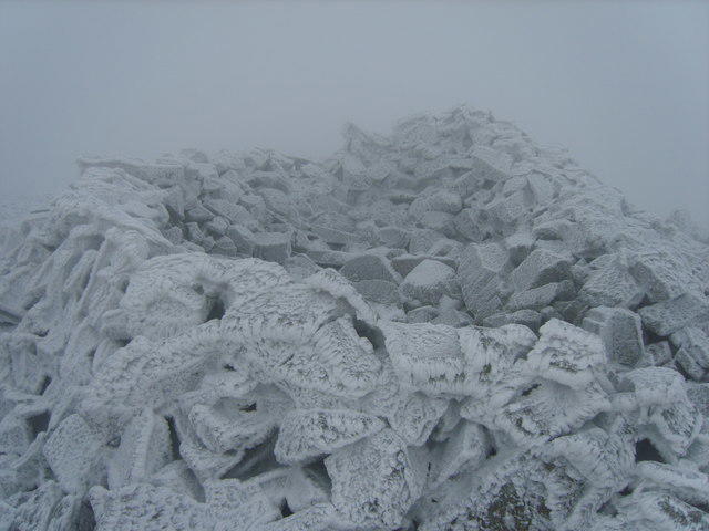 Photo could not load
NY1410 : Windshelter Cairn, Haycock
Michael Graham
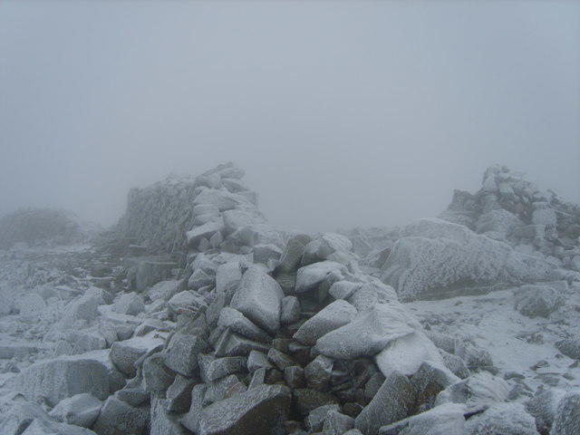 Photo could not load
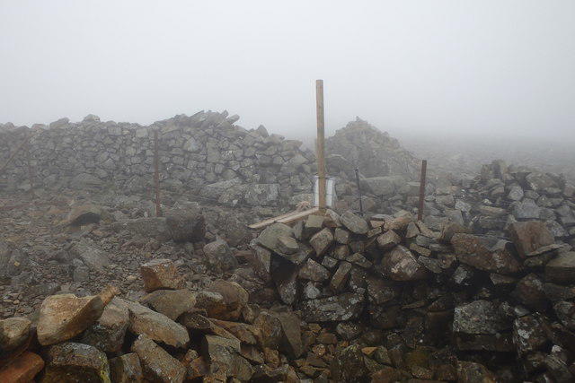
NY1410 : Wall, Haycock
Michael Graham
NY1410 : On Haycock
Michael Graham
Hill facts and local notes
Classifications
Elevation
797m
2,615 ft
Prominence
94m
Coordinates
54.4846, -3.3216
NY144107
OS Map
89
Explorer: OL4S OL6N
At the Summit
The summit of Haycock features a substantial rock outcrop and a small, historical cairn, often providing a perfect backdrop for the obligatory selfie.
Terrain & Geology
Dominantly sedimentary rock, mainly composed of sandstone with limestone deposits, the area showcases the enduring forces of erosion and weathering characteristics of the Lake District.
Views & Scenery
On a clear day, one can enjoy remarkable views of the surrounding fells, including the impressive Scafell Pike, as well as the distant outlines of the Isle of Man.
History & Heritage
Name Origin
The name 'Haycock' is derived from the Old English for 'hay cask' or 'hay stack', hinting at its pastoral origins.
Historical Significance
A favourite among both locals and tourists, Haycock is noted for its stunning views and accessibility, making it a popular spot for walkers and climbers alike.
Getting There & Facilities
Parking
Parking available at the Ennerdale Water car park, approximately 1 km from the trailhead.
Public Transport
The nearest public transport is the bus service from Whitehaven to Ennerdale Bridge.
Nearby Facilities
Be sure to stock up on supplies in the nearest town. Facilities are sparse in the area, with no cafés directly nearby, but plenty available in Egremont.
Safety Information
Known Hazards
- Muddy paths can be tricky, and the weather can change in the blink of an eye, so always check forecasts before setting off.
General Safety Tips
- Check weather conditions before setting out
- Carry appropriate clothing and equipment
- Let someone know your planned route
- Take a map, compass, and GPS device
- Carry emergency supplies: food, water, first aid kit, torch
Hills
Some common questions about the hills answered
Are there group walks up Haycock?
Many walkers use Walkmates to join or organise walks with others. You can check for group walks around Haycock through the maps
Are there other walkers around Haycock?
Activity varies by location and time, but Walkmates lets you see whether others have shared walks or shown interest in this area. Find other people through the walking friends search walking friends for Haycock search or of course create your own walk for Haycock
Can I organise a walk to Haycock?
Yes. If there aren’t any walks listed already, you can create a walk and make it available for others to join.
If you're signed up to Walkmates, you can create a walk to Haycock.
How do I find a walk up this hill?
There are often multiple ways to walk this hill, depending on experience and route preference. Walkmates helps you explore walks and routes that others have shared.
Can I suggest a new route up Haycock?
Yes. You can suggest or create routes to share with others. Walkmates focuses on the social side of walking, so routes are used to help people organise walks and explore areas together, rather than as detailed navigation tools or route libraries.
Other uses really appreciate knowledgeable walkers sharing their routes. Share your favourite route to Haycock here
The is an error or something incorrect about this hill. How do I let you know?
We always strive to keep the information on Walkmates as accurate as possible. If you find an error, please let us know through the contact form and we'll aim to correct it as quickly as possible
Community Discussion
Comments
Location
View the hill's mapped position and surrounding paths.
Grid reference: NY144107
View on OpenStreetMapOpens a map in a new tab, centred on the hill.
Nearby Hills
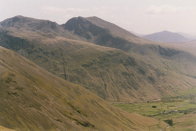
Pillar
892m
High Stile [Grey Crag - High Stile]
806m
Grasmoor
852m
Fleetwith Pike
649m

Great Gable
899m
No comments yet. Be the first.