

Grey Knotts
Good walks are even better shared.
NY2112 : Survey marker
Phil Johnstone Photo source
Overview
Grey Knotts
Introduction
Grey Knotts is a striking peak located in the Lake District, revered for its scenic vistas and distinctive geological features. It stands at an impressive 698 meters, making it a worthy addition to any hiker's itinerary.
Geology
The mountain is primarily formed of ancient volcanic rocks, showcasing the majestic power of nature’s past. Composed predominantly of andesites and rhyolites, the terrain offers a fascinating glimpse into geological history, shaped by both volcanic activity and glacial drift.
Routes
There are a couple of excellent routes to tackle Grey Knotts:
- Grey Knotts from Honister Pass - This route allows you to soak in sweeping views and engage your climbing muscles simultaneously. It’s moderate, so leave your welly boots behind!
- Loop via Fleetwith Pike - A demanding loop that rewards the ambitious with sweeping panoramas and a satisfying sense of achievement.
Summit Features
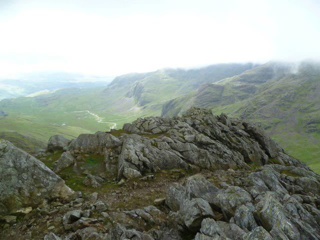
At the summit, expect to be greeted by a splendid rocky outcrop adorned with a friendly little cairn as a marker. Perfect for those end-of-hike selfies!
Terrain Type
Be prepared for a medley of rocky and grassy paths, but don’t forget your gaiters as some boggy bits might try to give you an unwanted mud bath.
Views
The views from Grey Knotts are nothing short of spectacular!
- Highlights: Look out for Skiddaw and the beautiful Buttermere below. It’s a treat for the eyes, so make sure your camera is charged!
- Best Seasons: Spring and early autumn usually bring the best light and conditions for hiking. Just avoid hiking in winter unless you want an adventure—Scottish style!
Hazards
While hiking, keep an eye out for slippery rocks, particularly in wet spells. And don’t underestimate the fickle British weather; mist can appear unexpectedly.
Nearby Summits
If you're feeling adventurous, consider summiting nearby peaks such as:
- Fleetwith Pike (648 m) - Known for its dramatic views and rugged beauty.
- Haystacks (597 m) - A classic and part of Alfred Wainwright’s favourite walks.
Access
Getting to Grey Knotts is a breeze:
- Nearest Parking: Park at Honister Slate Mine, a scenic spot that’s just a short stroll to the trailhead.
- Public Transport: Buses run routinely from Keswick; you won’t want to miss the lovely views on the way!
- Nearest Town: Keswick, where you can find all the amenities you need.
Facilities
Once you’ve conquered the peak, treat yourself at the cafe located at Honister Slate Mine or head to Buttermere village for refreshments.
History
- Name Meaning: The name comes from the Old Norse term 'Knottr', meaning a small hill.
- Significance: Grey Knotts is part of the illustrious Wainwright collection, and walking it is a rite of passage for keen walkers in the Lake District.
Now grab your boots, hit the trails, and revel in the beauty of Grey Knotts. It’s a hill that will have you coming back for more!
Explore routes near Grey Knotts
Walks starting near this hill. Open a route to check its map, distance and full itinerary.
Scafell Pike from Seathwaite via the Corridor Route
View route
Scafell Pike via Brown Tongue and Hollow Stones
View route
Bow Fell from Langdale
View route
Steeple, Scoat Fell and Haycock from Ennerdale
View route
Route planning notes
These notes describe possible approaches. Check a route's map and access information when planning your walk.
Grey Knotts from Honister Pass
A straightforward ascent that begins at Honister Pass, offering a combination of scenic views and enjoyable terrain, suitable for many hikers.
Loop via Fleetwith Pike
A more challenging route that loops past Fleetwith Pike, allowing hikers to enjoy panoramic views along the way before ascending Grey Knotts.
Make a day of it, together
Find someone to share the walk with, or organise a day out along a route you like.
Photo Gallery
View all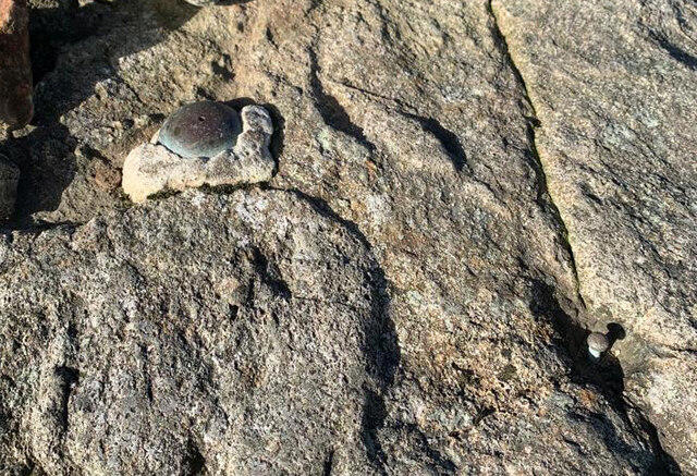 Photo could not load
NY2112 : Survey marker
Phil Johnstone
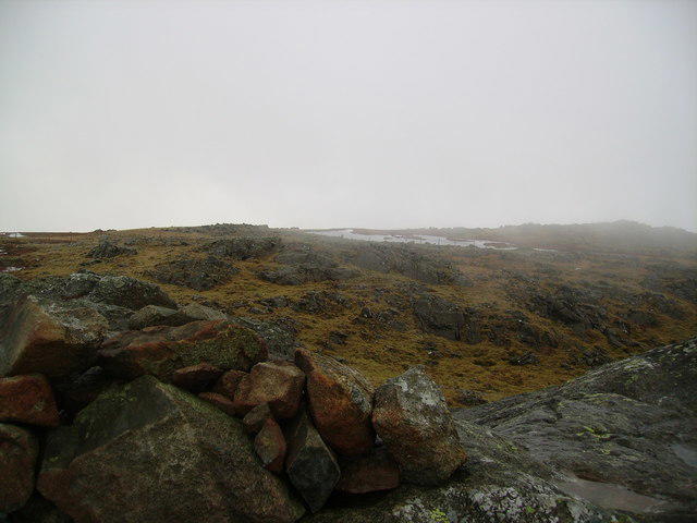 Photo could not load
NY2112 : Grey Knotts Summit
Michael Graham
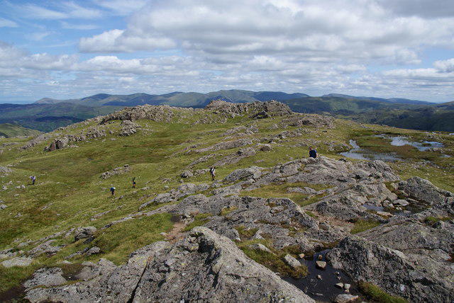 Photo could not load
NY2112 : The top of Grey Knotts
Bill Boaden
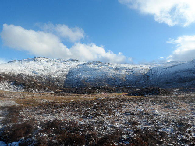 Photo could not load
NY2112 : Grey Knotts
Anthony Parkes
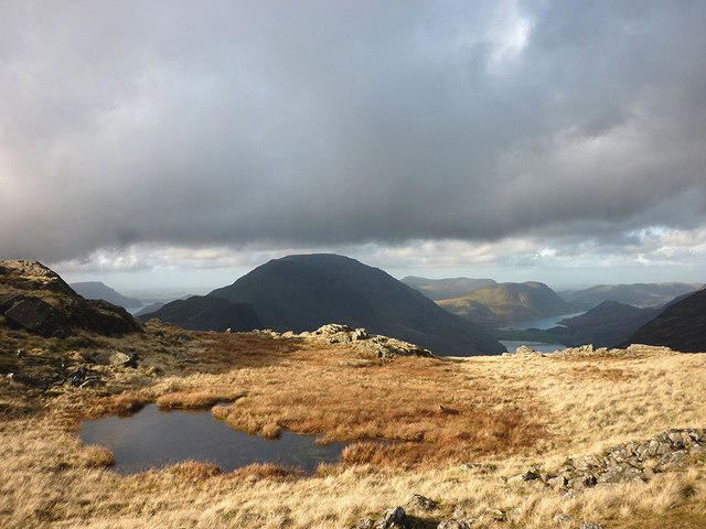 Photo could not load
NY2112 : Boggy pool on Grey Knotts
Karl and Ali
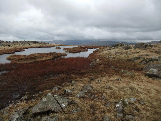 Photo could not load
NY2112 : Tarn on Grey Knotts
David Brown
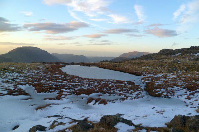 Photo could not load
NY2112 : Frozen Tarn, Grey Knotts
Michael Graham
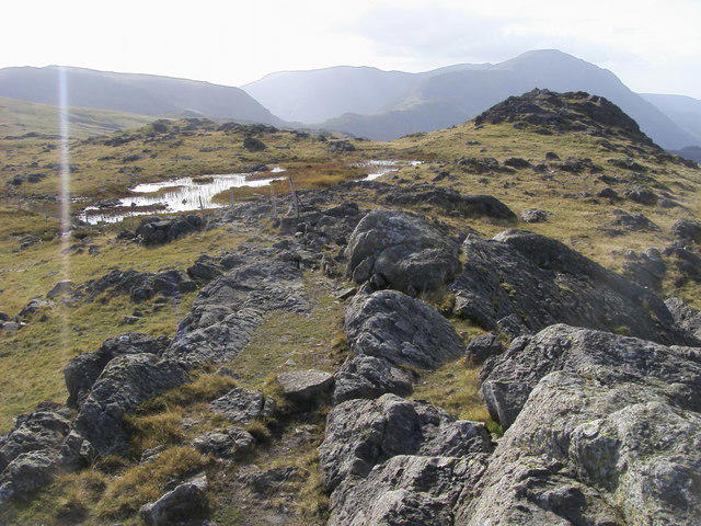 Photo could not load
NY2112 : Grey Knotts
Shaun Ferguson
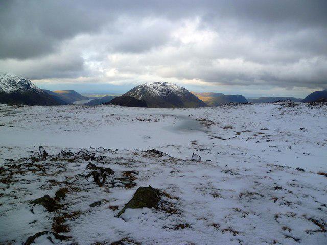 Photo could not load
NY2112 : On Grey Knotts
Michael Graham
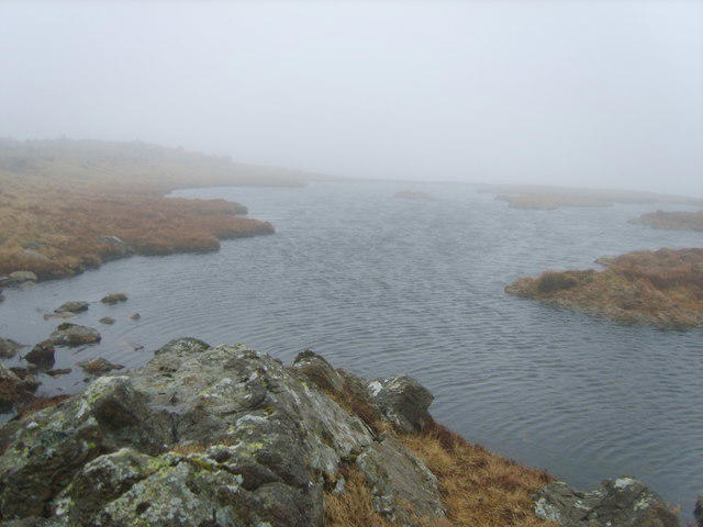
NY2112 : Tarn, Grey Knotts
Michael Graham
Hill facts and local notes
Classifications
Elevation
697m
2,287 ft
Prominence
16m
Coordinates
54.5024, -3.2102
NY217125
OS Map
89 90
Explorer: OL4S
At the Summit
The summit is marked by a distinctive rocky outcrop and a small cairn, providing a perfect photo opportunity for those who make the trek.
Terrain & Geology
Grey Knotts is primarily composed of volcaniclastic rocks, specifically andesites and rhyolites, originating from ancient lava flows. The rugged terrain showcases a fascinating geological history shaped by erosion and glacial activity.
Views & Scenery
From the summit, enjoy breathtaking views of the surrounding peaks including Skiddaw, and down to the tranquil waters of Buttermere and Crummock Water.
History & Heritage
Name Origin
The name 'Knotts' likely relates to the term 'knot', signifying a rocky hill or knoll.
Historical Significance
Part of the historic Wainwright collection, Grey Knotts has become a popular peak for walkers and fans of Alfred Wainwright's guidebooks.
Getting There & Facilities
Parking
Parking available at Honister Slate Mine, approximately 1 km from the trailhead.
Public Transport
Regular buses run to Buttermere from Keswick; the nearest bus stop is around 2 km away.
Nearby Facilities
Facilities include toilets and a cafe at Honister Slate Mine and in nearby Buttermere.
Safety Information
Known Hazards
- Be wary of slippery rocks, especially during wet conditions. Mist can roll in quickly, reducing visibility.
General Safety Tips
- Check weather conditions before setting out
- Carry appropriate clothing and equipment
- Let someone know your planned route
- Take a map, compass, and GPS device
- Carry emergency supplies: food, water, first aid kit, torch
Hills
Some common questions about the hills answered
Are there group walks up Grey Knotts?
Many walkers use Walkmates to join or organise walks with others. You can check for group walks around Grey Knotts through the maps
Are there other walkers around Grey Knotts?
Activity varies by location and time, but Walkmates lets you see whether others have shared walks or shown interest in this area. Find other people through the walking friends search walking friends for Grey Knotts search or of course create your own walk for Grey Knotts
Can I organise a walk to Grey Knotts?
Yes. If there aren’t any walks listed already, you can create a walk and make it available for others to join.
If you're signed up to Walkmates, you can create a walk to Grey Knotts.
How do I find a walk up this hill?
There are often multiple ways to walk this hill, depending on experience and route preference. Walkmates helps you explore walks and routes that others have shared.
Can I suggest a new route up Grey Knotts?
Yes. You can suggest or create routes to share with others. Walkmates focuses on the social side of walking, so routes are used to help people organise walks and explore areas together, rather than as detailed navigation tools or route libraries.
Other uses really appreciate knowledgeable walkers sharing their routes. Share your favourite route to Grey Knotts here
The is an error or something incorrect about this hill. How do I let you know?
We always strive to keep the information on Walkmates as accurate as possible. If you find an error, please let us know through the contact form and we'll aim to correct it as quickly as possible
Community Discussion
Comments
Location
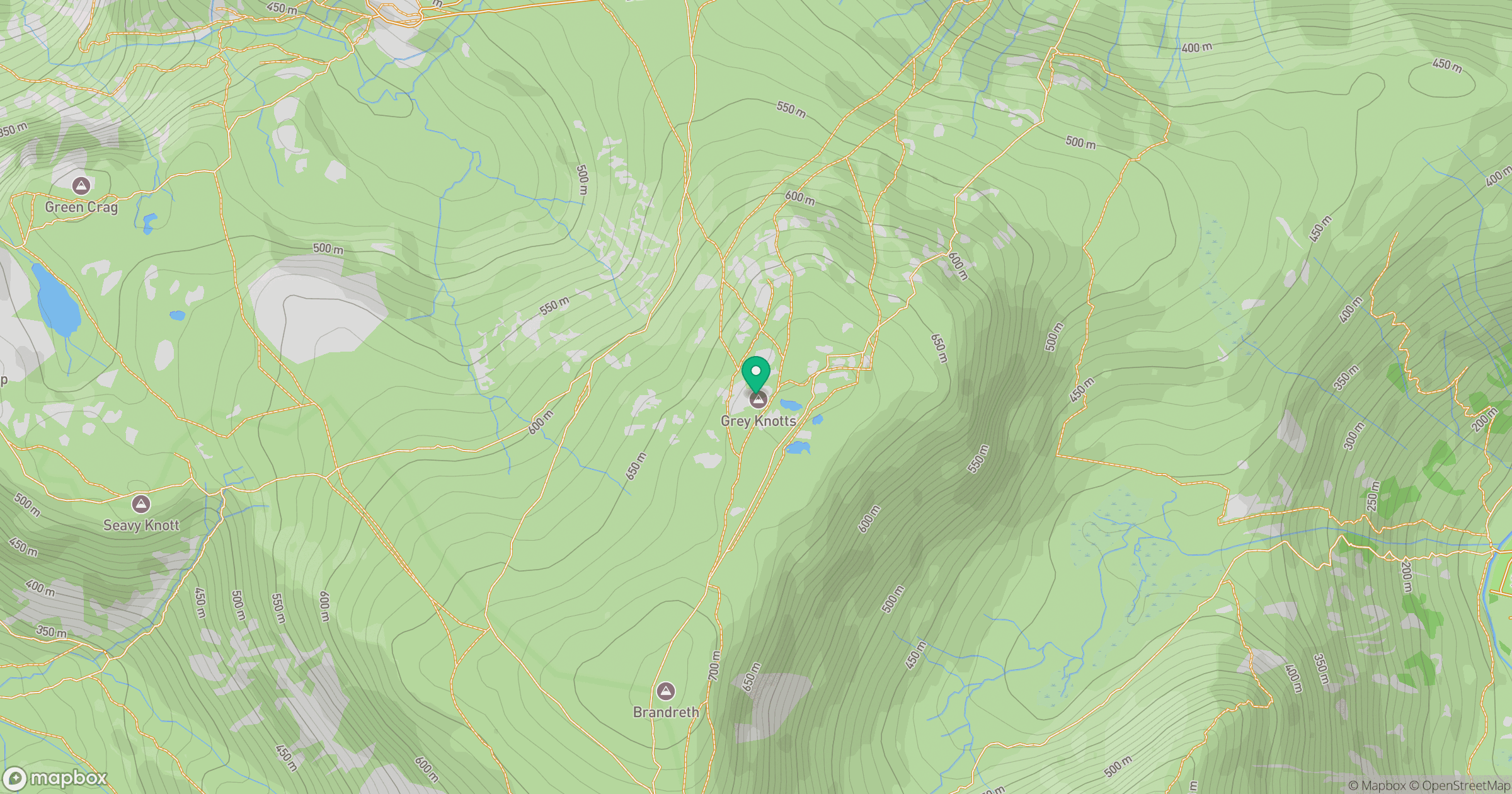
Grid reference: NY217125
View on OpenStreetMapOpens a map in a new tab, centred on the hill.

No comments yet. Be the first.