

Green Gable
Good walks are even better shared.
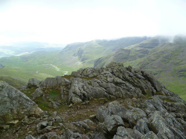
NY2110 : Descending from Windy Gap
Michael Graham Photo source
Overview
Green Gable: A Hiker's Paradise
Nestled in the heart of the Lake District, Green Gable stands proudly at 801 meters (2,628 ft), offering visitors a rewarding experience with stunning vistas and engaging trails.
Geology
Green Gable's geological features include a mix of volcanic and sedimentary rocks, predominantly andesite and tuff. This unique blend gives the mountain its rugged appeal, as well as a fascinating insight into the natural history of the region. You may even feel like a geologist as you stroll along its paths—just, remember to leave the pickaxe at home!
Routes
The most popular route starts from Seathwaite, approximately 9 km in length, taking about 4 hours to complete. This moderate hike meanders through picturesque Borrowdale, where you can soak in the tranquil beauty of the native woodlands. If you’re lucky, you might even share the path with some friendly sheep!
Summit Features
As you reach the summit, you'll be greeted by a resplendent cairn. It’s not just a pile of rocks; it's a fantastic spot to snap those Instagram-worthy photos, so don’t forget to work your angles!
Terrain Type
Expect a variety of terrain comprising rocky paths and grassy slopes, peppered with the occasional boggy patch. A good pair of hiking boots is essential; after all, no one wants soggy socks on a day out!
Views
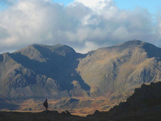
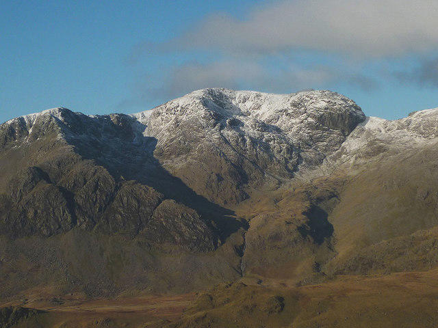
From the summit of Green Gable, you'll be treated to breathtaking views of surrounding peaks, including the iconic Great Gable and the towering Scafell Pike. The best views are often found in spring or autumn when the weather behaves itself!
Hazards
While the hike is manageable, be cautious of slippery paths—especially after rain. A misstep could turn a peaceful hike into an unintentional mudslide experience; let's save that for a children's adventure tale.
Nearby Summits
If you're keen to extend your hiking adventures, consider scaling Great Gable or Scafell Pike, both within a reasonable distance and offering their own breathtaking views.
Access
Parking can be found at Seathwaite Car Park, but arrive early on weekends to secure a spot. Public transport options, including the local bus services, can whisk you from Keswick to the foot of the mountain, making it easier than ever to embark on this splendid journey.
Facilities
After your hike, indulge in the local delights found in Keswick, where various cafes serve traditional cakes and hot drinks that will surely hit the spot. Additionally, you'll find public toilets to freshen up before rejoining the civilized world.
History
The name 'Gable' reflects the distinctive triangular shape of the summit, a feature that adds to its allure. Rich in history, Green Gable has been a prominent hiking destination since the Victorian era, a testament to the timeless beauty of the Lake District.
In conclusion, Green Gable is not merely another bump on the map; it's a cherished experience waiting to be explored. So, lace up those boots and get to it—adventure awaits!
Explore routes near Green Gable
Walks starting near this hill. Open a route to check its map, distance and full itinerary.
Scafell Pike from Seathwaite via the Corridor Route
View route
Scafell Pike via Brown Tongue and Hollow Stones
View route
Bow Fell from Langdale
View route
Great Carrs Halifax Wreckage from Wrynose Pass
View route
Route planning notes
These notes describe possible approaches. Check a route's map and access information when planning your walk.
From Seathwaite
A scenic hike starting from Seathwaite that winds through the stunning Borrowdale valley, offering awe-inspiring views and tranquil woodlands.
Make a day of it, together
Find someone to share the walk with, or organise a day out along a route you like.
Photo Gallery
View all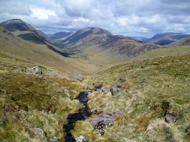 Photo could not load
NY2110 : Descending from Windy Gap
Michael Graham
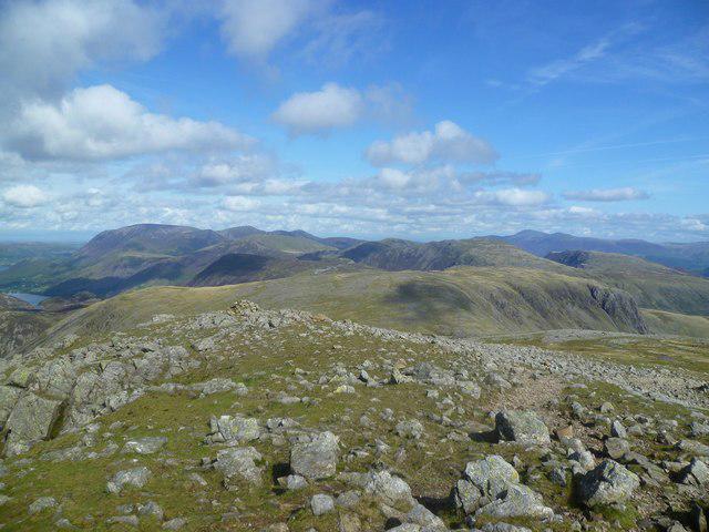 Photo could not load
NY2110 : On Green Gable
Michael Graham
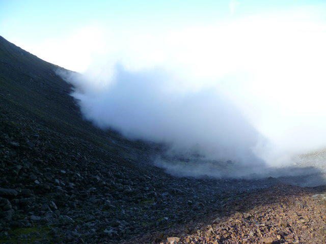 Photo could not load
NY2110 : Mist in Stone Cove
Michael Graham
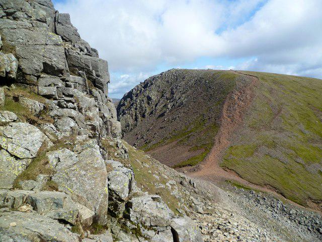 Photo could not load
NY2110 : Windy Gap
Michael Graham
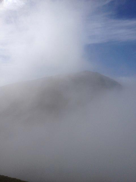 Photo could not load
NY2110 : Great Gable revealed
Dave Thompson
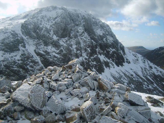 Photo could not load
NY2110 : On Green Gable
Michael Graham
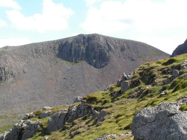 Photo could not load
NY2110 : Green Gable from Great Gable
N Chadwick
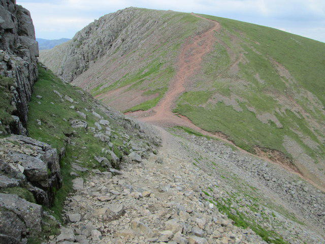 Photo could not load
NY2110 : Look back at Windy Gap and Green Gable
Peter S
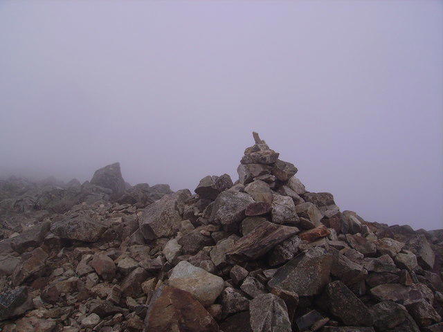 Photo could not load
NY2110 : Summit Cairn Green Gable
Michael Graham
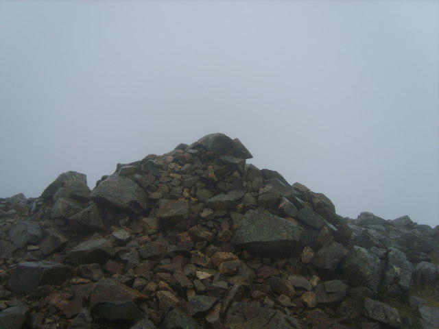
NY2110 : Summit Cairn, Green Gable
Michael Graham
Hill facts and local notes
Classifications
Elevation
801m
2,628 ft
Prominence
50m
Coordinates
54.4857, -3.2138
NY214107
OS Map
89 90
Explorer: OL4S OL6N
At the Summit
The summit is marked by a prominent cairn, providing a perfect spot for a well-deserved rest and that all-important snapshot for social media.
Terrain & Geology
Green Gable is primarily composed of volcanic and sedimentary rocks, including andesite and tuff, contributing to its rugged character.
Views & Scenery
Visitors can enjoy sweeping views of the surrounding fells, including Great Gable and the majestic Scafell Pike. If you squint hard enough, you might even spot your next pint waiting in the local pub.
History & Heritage
Name Origin
The name 'Gable' stems from its distinctive abrupt summit profile, resembling a gable roof.
Historical Significance
Green Gable is steeped in the rich heritage of the Lake District, attracting hikers and climbers alike since the Victorian era.
Getting There & Facilities
Parking
Seathwaite Car Park offers ample parking, but beware of the busy times as it can fill up quicker than you can say 'Peak District'.
Public Transport
Accessible via Stagecoach bus routes running from Keswick to Seathwaite during peak seasons.
Nearby Facilities
The nearest facilities include public toilets at Seathwaite and various cafes in Keswick for a post-hike treat.
Safety Information
Known Hazards
- The paths can be slippery, especially in wet conditions. Watch your step, as nobody likes an unexpected mud bath.
General Safety Tips
- Check weather conditions before setting out
- Carry appropriate clothing and equipment
- Let someone know your planned route
- Take a map, compass, and GPS device
- Carry emergency supplies: food, water, first aid kit, torch
Hills
Some common questions about the hills answered
Are there group walks up Green Gable?
Many walkers use Walkmates to join or organise walks with others. You can check for group walks around Green Gable through the maps
Are there other walkers around Green Gable?
Activity varies by location and time, but Walkmates lets you see whether others have shared walks or shown interest in this area. Find other people through the walking friends search walking friends for Green Gable search or of course create your own walk for Green Gable
Can I organise a walk to Green Gable?
Yes. If there aren’t any walks listed already, you can create a walk and make it available for others to join.
If you're signed up to Walkmates, you can create a walk to Green Gable.
How do I find a walk up this hill?
There are often multiple ways to walk this hill, depending on experience and route preference. Walkmates helps you explore walks and routes that others have shared.
Can I suggest a new route up Green Gable?
Yes. You can suggest or create routes to share with others. Walkmates focuses on the social side of walking, so routes are used to help people organise walks and explore areas together, rather than as detailed navigation tools or route libraries.
Other uses really appreciate knowledgeable walkers sharing their routes. Share your favourite route to Green Gable here
The is an error or something incorrect about this hill. How do I let you know?
We always strive to keep the information on Walkmates as accurate as possible. If you find an error, please let us know through the contact form and we'll aim to correct it as quickly as possible
Community Discussion
Comments
Location
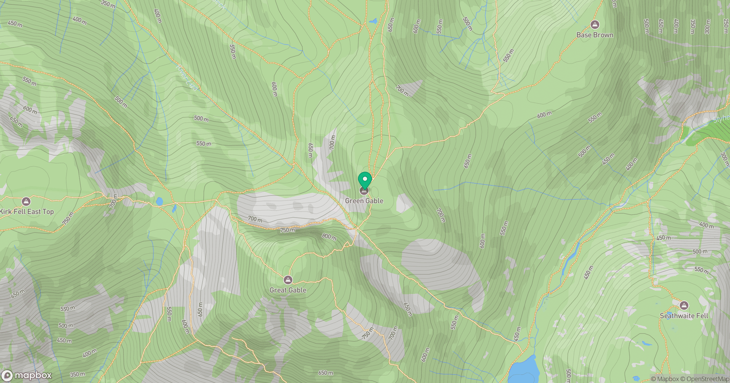
Grid reference: NY214107
View on OpenStreetMapOpens a map in a new tab, centred on the hill.

No comments yet. Be the first.