

Goldenberry Hill
Good walks are even better shared.
Overview
Goldenberry Hill
Introduction
Goldenberry Hill is a charming Marilyn situated in the scenic North Yorkshire Moors. With an elevation of 115 meters, it might not claim the title of giant among hills, but its captivating charm and stunning views are what truly matter.
Geology
The hill showcases fascinating geology, primarily composed of sandstone and gritstone. These ancient rocks tell the story of millennia gone by, with layers that can be conclusively attributed to the geological forces that shaped the North Yorkshire landscape. The varied rock formations serve as a playground for geology enthusiasts and a habitat for numerous wildlife.
Routes
The most popular route is the Goldenberry Hill Circular Walk. This moderate 5.5 km loop starts at Robin Hood's Bay and takes approximately 2.5 hours to complete, depending on your pace, and offers delightful views to keep your spirits high (and your feet moving).
Summit Features
At the summit, you'll find a friendly little cairn welcoming intrepid wanderers, alongside a wooden bench perfect for a scenic picnic break. Don’t forget to snap a selfie with your new rocky companion!
Terrain Type
The terrain is a mixed bag of grassy slopes, rocky outcrops, and the occasional boggy patch, so wearing sturdy footwear is highly recommended. Remember, mud is not just a suggestion here!
Views
Once you reach the top, prepare to feast your eyes on the vast expanse below. To the south, the shimmering North Sea offers a picturesque backdrop, while the rolling hills of the North Yorkshire Moors provide a stunning contrast. Spring and autumn are particularly lovely seasons for viewing the landscape in full bloom or vibrant autumn tones.
Hazards
While the trek is mostly manageable, keep an eye on slippery spots, especially after a heavy rain; it's not a dance on water, after all! Some rocky areas might also require a cautious approach.
Nearby Summits
If you fancy a bit of summit-hopping, nearby peaks like Nykel Hill and Kettleness Scar provide additional exploration opportunities, each with their unique views and characteristics.
Access
Getting there is a cinch: there's a small car park at Robin Hood's Bay (where a few coins will readily secure your spot). Buses from Whitby conveniently drop you off right at the village.
Facilities
The village boasts lovely cafes and charming pubs where you can refuel after your adventure. Public toilets are available to accommodate the needs of weary hikers.
History
The name 'Goldenberry' draws from ancient Anglo-Saxon terminology, hinting at delightful local fruits of yore. Historically, this area has seen centuries of fishing and farming, with remnants of those times still present in the landscape.
So pack your bags, lace up those boots, and get ready for an adventure that promises stunning scenery and a gentle challenge. Happy hiking!
Explore routes near Goldenberry Hill
Public walks starting within 80 km of this hill. Nearby does not mean a route reaches the summit; check its map and access before setting out.
Goatfell from Cladach
View route
Greenock Cut: the full circuit from Cornalees
View route
West Bay walk and talk
View route
West Bay walk and talk
View route
Route planning notes
These notes describe possible approaches, not verified navigable routes or permission to cross land. Check current paths, local access rules and conditions before setting out.
Goldenberry Hill Circular Walk
A delightful circular route starting from the village of Robin Hood's Bay, meandering through scenic woodlands and eventually leading to the summit.
Make a day of it, together
Find someone to share the walk with, or organise a day out along a route you like.
Photo Gallery
View all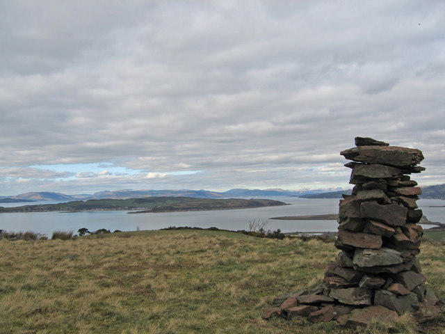 Photo could not load
NS1850 : Cairn on Goldenberry Hill
wfmillar
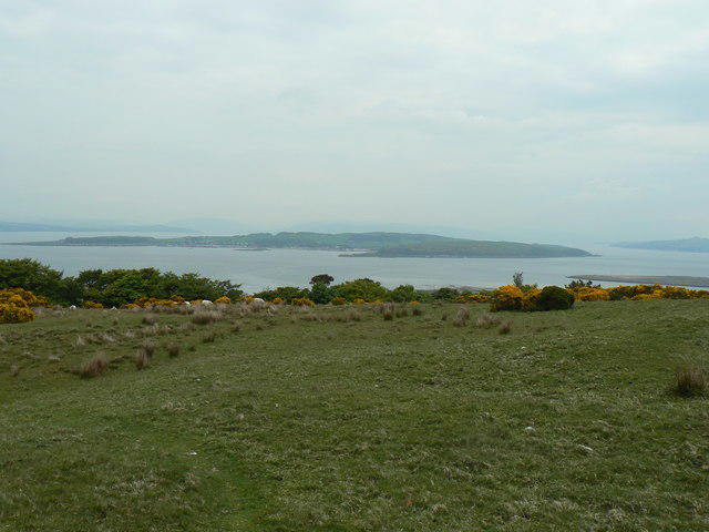 Photo could not load
NS1850 : Great Cumbrae
william craig
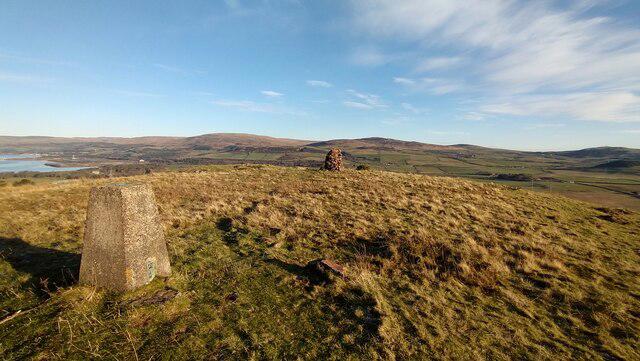 Photo could not load
NS1850 : Trig point and cairn on Goldenberry Hill
Gordon Brown
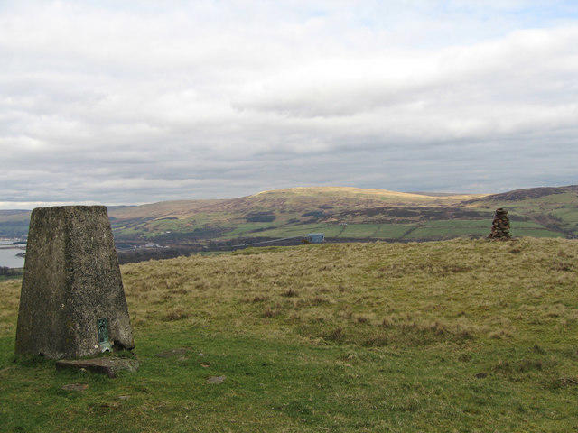 Photo could not load
NS1850 : Goldenberry Hill
wfmillar
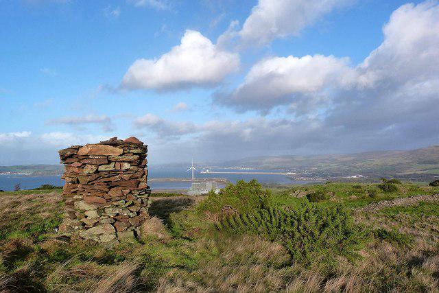 Photo could not load
NS1850 : Goldenberry Hill (Cairn)
Raibeart MacAoidh
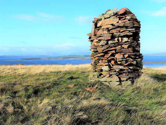 Photo could not load
NS1850 : Goldenberry Hill (Cairn)
Raibeart MacAoidh
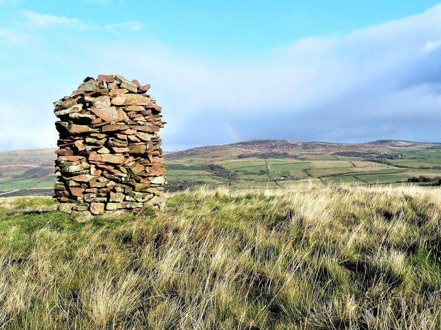 Photo could not load
NS1850 : Goldenberry Hill (Cairn)
Raibeart MacAoidh
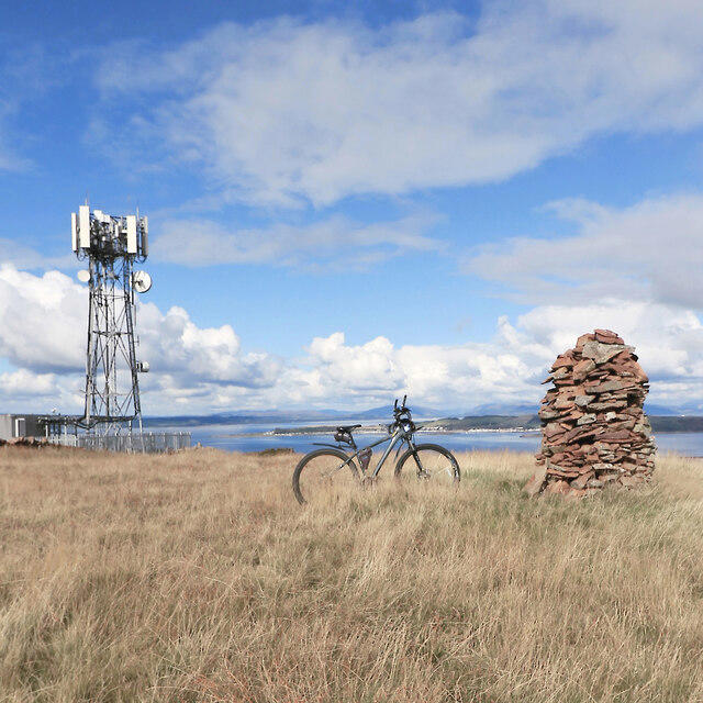 Photo could not load
NS1850 : Goldenberry Hill
Raibeart MacAoidh
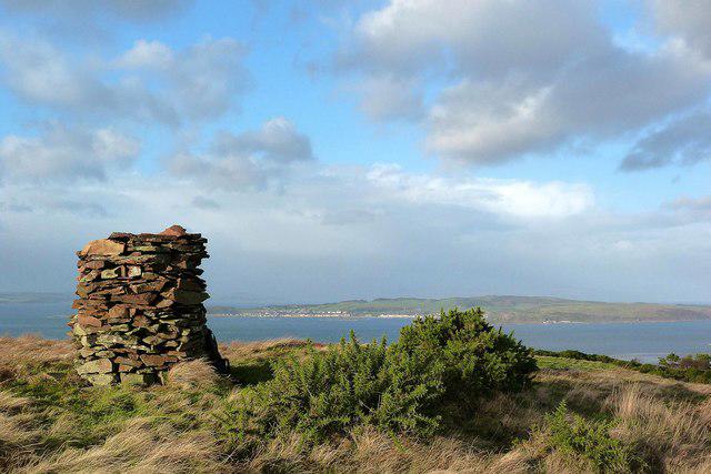 Photo could not load
NS1850 : Goldenberry Hill (cairn)
Raibeart MacAoidh
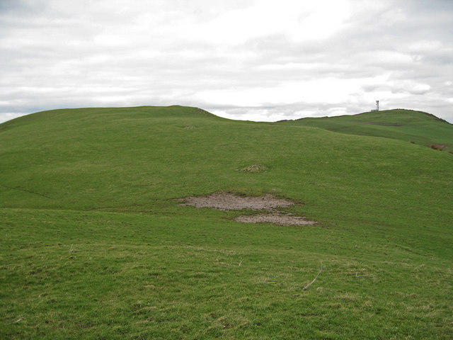
NS1850 : Goldenberry Hill
wfmillar
Hill facts and local notes
Classifications
Elevation
140m
459 ft
Prominence
121m
Coordinates
55.7122, -4.8941
NS182503
OS Map
63
Explorer: 341S
At the Summit
At the summit, you’ll find a modest cairn marking the highest point, along with a small wooden bench for those who fancy a rest while enjoying the views.
Terrain & Geology
Goldenberry Hill is primarily composed of sandstone and gritstone, offering a unique glimpse into the ancient processes that shaped the North Yorkshire landscape. The varied geology makes for interesting rock formations and a rich biodiversity.
Views & Scenery
From the summit, looking south, you can see the sparkling waters of the North Sea, and to the north, the dramatic landscapes of the North Yorkshire Moors. On a clear day, the distant peaks of the Yorkshire Dales might peek through the horizon.
History & Heritage
Name Origin
The name 'Goldenberry' is believed to be derived from old Anglo-Saxon words, potentially relating to ‘golden berries’ that might have grown in the area.
Historical Significance
Historically, the region surrounding Goldenberry Hill was significant for fishing and agriculture, with remnants of ancient settlements still visible.
Getting There & Facilities
Check current local access restrictions, parking rules and transport timetables before travelling. These notes do not confirm public access to the summit.
Parking
There is a small car park near the village of Robin Hood's Bay, with an honest parking fee that won’t break the bank.
Public Transport
Frequent bus services run from Whitby to Robin Hood's Bay, with a short walk to the trailhead.
Nearby Facilities
In Robin Hood's Bay, local cafes and pubs provide excellent refreshments, and there are public toilets available for those needing a pit stop.
Safety Information
Known Hazards
- Watch out for slippery sections, especially after rain. The area can be boggy, and some rocky outcrops require caution when navigating.
General Safety Tips
- Check weather conditions before setting out
- Carry appropriate clothing and equipment
- Let someone know your planned route
- Take a map, compass, and GPS device
- Carry emergency supplies: food, water, first aid kit, torch
Hills
Some common questions about the hills answered
Are there group walks up Goldenberry Hill?
Many walkers use Walkmates to join or organise walks with others. You can check for group walks around Goldenberry Hill through the maps
Are there other walkers around Goldenberry Hill?
Activity varies by location and time, but Walkmates lets you see whether others have shared walks or shown interest in this area. Find other people through the walking friends search walking friends for Goldenberry Hill search or of course create your own walk for Goldenberry Hill
Can I organise a walk to Goldenberry Hill?
Yes. If there aren’t any walks listed already, you can create a walk and make it available for others to join.
If you're signed up to Walkmates, you can create a walk to Goldenberry Hill.
How do I find a walk up this hill?
There are often multiple ways to walk this hill, depending on experience and route preference. Walkmates helps you explore walks and routes that others have shared.
Can I suggest a new route up Goldenberry Hill?
Yes. You can suggest or create routes to share with others. Walkmates focuses on the social side of walking, so routes are used to help people organise walks and explore areas together, rather than as detailed navigation tools or route libraries.
Other uses really appreciate knowledgeable walkers sharing their routes. Share your favourite route to Goldenberry Hill here
The is an error or something incorrect about this hill. How do I let you know?
We always strive to keep the information on Walkmates as accurate as possible. If you find an error, please let us know through the contact form and we'll aim to correct it as quickly as possible
Community Discussion
Comments
Location
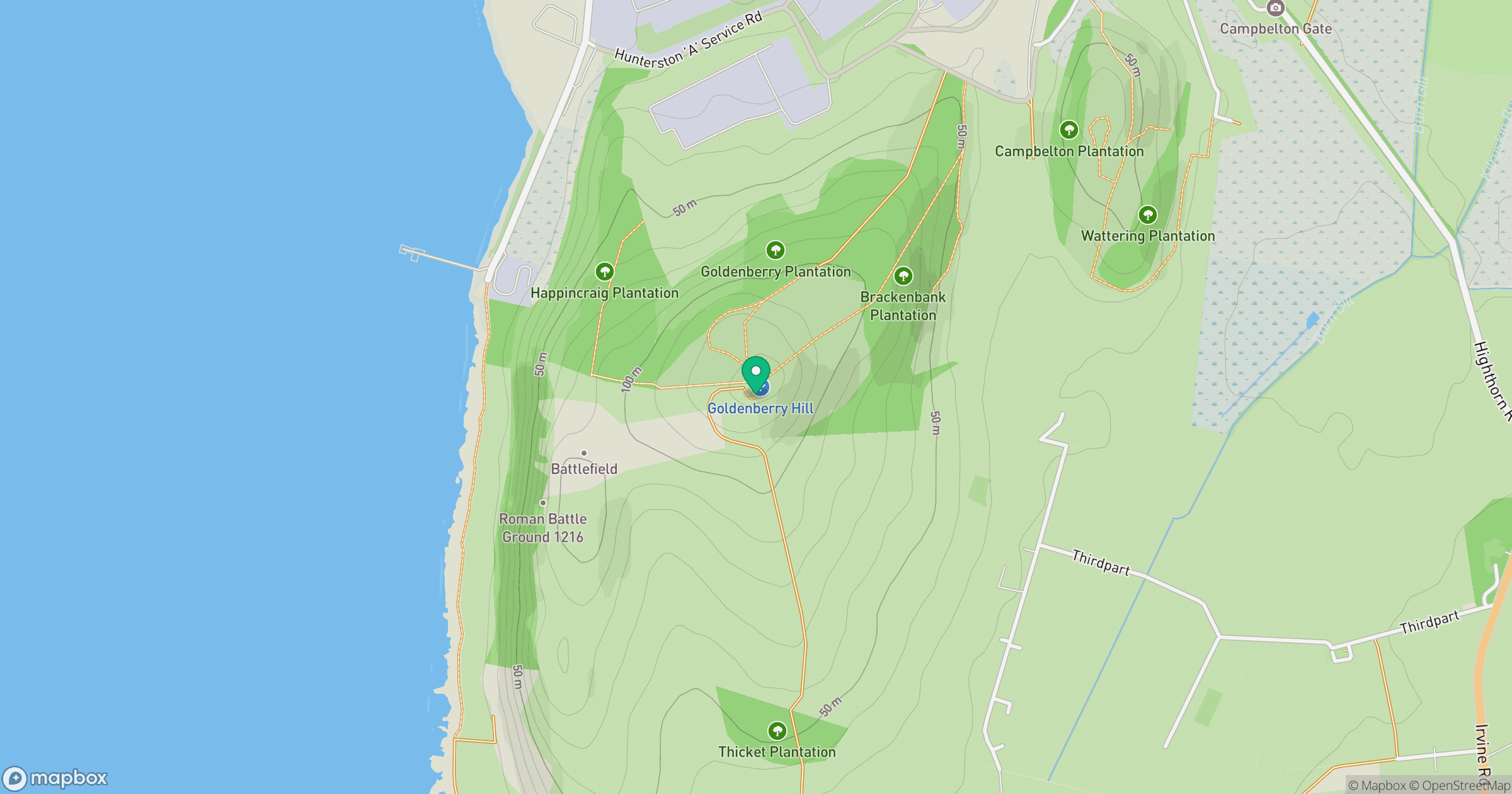
Grid reference: NS182503
View on OpenStreetMapOpens a map in a new tab, centred on the hill.
Hills within 30 km
Straight-line distance, not a walking route or confirmation of access.
Goatfell [Goat Fell]
875m
Cir Mhor
798m
Barbay Hill
127m
North Hill [Knockewart Hills]
242m
Suidhe Chatain
157m
No comments yet. Be the first.