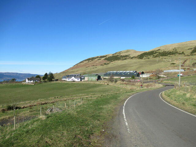
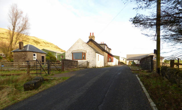
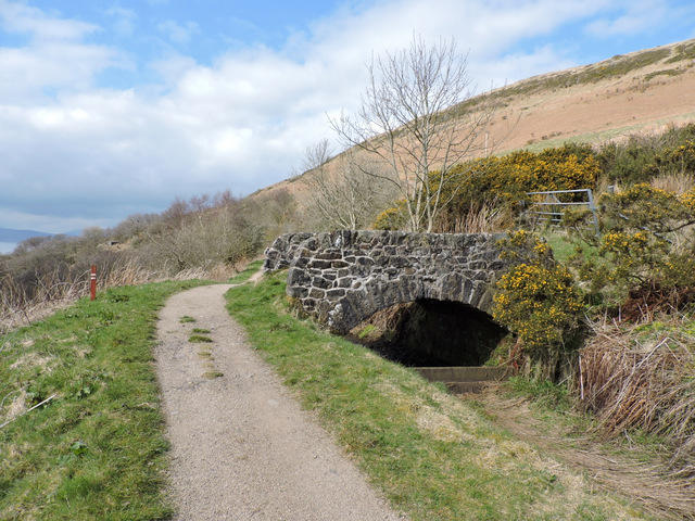
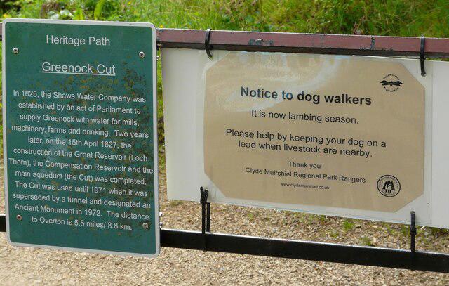
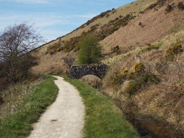
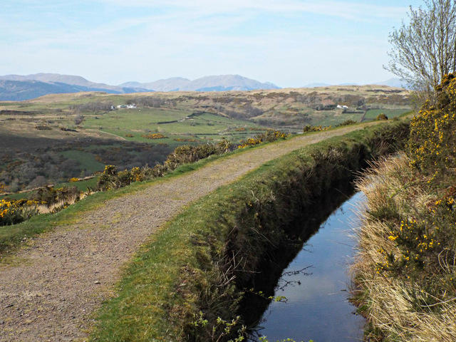
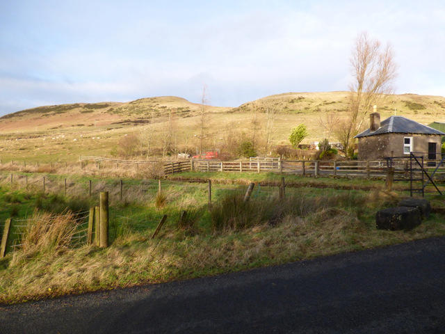
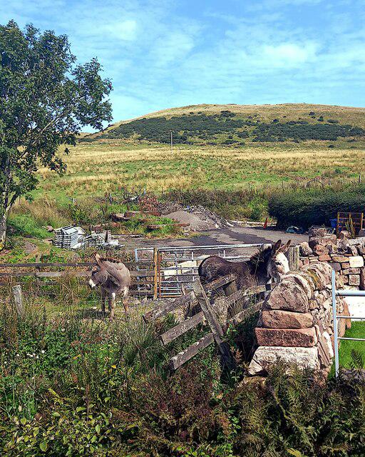
A complete circuit through the water-supply landscape above Greenock, with open moorland views and a long return beside the historic aqueduct. From Cornalees, take the Waterman’s Road towards Overton, then follow the Greenock Cut round the hillside back to the visitor centre. This 11.6 km circuit has one main climb, gravel and rough patches, plus exposed stretches where weather can change the feel of the day. Use the Greenock approach to the car park while the western Dunrod Road closure remains in force.
Start and parking: Meet at the car-park exit junction, 55.9101943, -4.8059662, beside the visitor centre and walking tracks. Use the Greenock/Drumfrochar Road approach while the western road closure applies. PA16 9LX 2016 operator leaflet says free parking; a current tariff statement was not verified. Treat price as unconfirmed rather than promise free. Current operator page: tracks, trails and car parks open all day, every day. Daylight walking advised. Current operator page: toilets daily 09:15–16:00. Visitor centre opens when staff are in or nearby, not guaranteed fixed hours. No café opening guarantee.
Terrain and timing: Waterman’s Road tracks and aqueduct-side gravel/fine-gravel paths, some rough or wet patches, small bridges and a short car-park access lane. Open hillside exposure. Editorial Moderate for the full 11.6 km walking circuit because of length, climb, rough gravel and exposure. Discover Inverclyde calls the clockwise cycling/walking route Easy off road; that source grade is not silently relabelled as the walking guide’s grade. Editorial 3–4 hours walking plus stops; 210 minutes metadata is a planning estimate, not a verified operator timing.
Important driving restriction: council roadworks page updated 18 September 2026 lists Dunrod Road closed from 28 July 2025 at 08:00 until 24 January 2027 at 18:00 for unsafe carriageway. The closed section lies between approximately 1500 m east of Majeston Farm and 400 m west of Shielhill Farm. Do not use the closed western/Inverkip approach.
Follow the council diversion through Greenock via Drumfrochar Road, Papermill Road and Old Largs Road and current signs. The council’s June 2025 notice identifies the Drumfrochar approach as the other open access route. Recheck the latest roadworks page before travelling.
This is an access-road closure, not a notice closing the full Greenock Cut walk. The official centre currently lists trails open daily. The plotted walk follows the aqueduct and only crosses the road by Shielhill; it does not walk along the closed western carriageway.
A short Shielhill road interface and the visitor-centre service lane require traffic awareness. Do not label the mapped loop completely traffic-free.
Follow the marked full Greenock Cut circuit. The shorter Shielhill Glen nature trail and its boardwalk are a separate route; no boardwalk extension is included.
The 2016 operator guide recommends anti-clockwise walking via Overton first and requires dogs under proper control. Protect livestock and wildlife and follow any current local restrictions.
No named current closure of the main Cut/Waterman’s Road circuit was found on the checked operator pages. Path condition, weather and actual gate state have not been field-checked. Stay on the path by water channels and slopes.
Distance: Exact OSM full loop from the real car-park exit measures 11.573 km. Source headlines 12 km and 7 miles are approximate. No Dunrod Hill summit spur, Kelly Cut extension, nature-trail boardwalk or padding added. The narrow aqueduct route is followed throughout.
Information checked on 23 October 2026. Current parking tariff, café operation, same-day path/gate conditions and any later road-closure changes. No field inspection, independently measured ascent or accessibility audit. The tourism page’s 120 m average elevation is not total ascent and is not used as ascent.
Route and visitor sources: https://clydemuirshiel.co.uk/park-sites/greenock-cut-visitor-centre/
https://clydemuirshiel.co.uk/wp-content/uploads/2016/05/GC-walk.pdf
https://discoverinverclyde.com/routes/greenock-cut/
https://www.inverclyde.gov.uk/environment/roads-lighting/road-works
https://www.inverclyde.gov.uk/news/2025/jun/dunrod-road-reinstatement-update
Route geometry: © OpenStreetMap contributors, licensed under ODbL 1.0. https://www.openstreetmap.org/copyright https://opendatacommons.org/licenses/odbl/1-0/