

Glenridding Dodd
Good walks are even better shared.
NY3717 : On The Rake
Michael Graham Photo source
Overview
Glenridding Dodd
Glenridding Dodd stands proudly at 479 meters, beckoning hikers with a moderate challenge and rewarding them with stunning views over the beautiful Lake District. Whether you're a seasoned pro or a keen novice, this hill has charms that will keep you coming back for more.
Geology
The very stones of Glenridding Dodd tell a tale of fiery creation and the passage of time. Rhyolite, a volcanic rock, forms the foundation of this hill. As you traverse its gentle slopes, you might just marvel at the ancient forces that shaped the landscape—filtering your thoughts while simultaneously building an appetite for that picnic you packed!
Routes
The preferred route, starting from Glenridding, allows you to soak in the enchanting views even before reaching the summit. Though the hike is moderate, it offers a nice workout and an opportunity to test your fitness levels, so remember to pace yourself—no point in rushing just to be out of breath at the top!
Summit Features
Upon reaching the summit, you’ll be greeted by a small rocky outcrop complete with a charming cairn. Take a moment to catch your breath and enjoy your surroundings; the views are well worth a break, maybe even a selfie or two!
Views
As you stand at the top, gaze out over the breathtaking panorama of Helvellyn and Ullswater. The best times to enjoy these views are late spring and early autumn, when the sun casts lovely shadows across the land—perfect for that Instagram shot!
Hazards
While the trail is mostly well-marked, be cautious of sudden weather fluctuations typical of the Lake District. Slippery rocks and boggy patches can also cause a bit of a surprise, so sensible footwear will be your best friend.
Access
Getting to Glenridding is relatively straightforward. The nearest parking is conveniently located in the village. Public transport access from Penrith is pretty reliable as well, so no need to get caught without a ride!
Facilities
No need to rough it too much; Glenridding has facilities such as cafes to feed the post-hike hunger and public toilets for those urgent moments. More than enough to make your day out comfortable!
History
The etymology of 'Dodd' gives us insight into its heritage, meaning 'hill' or 'knoll' in Old Norse. Over the years, it has become a beloved spot for hikers, often seen as a stepping stone to more challenging climbs in the area.
So, lace-up those hiking boots and get ready to explore Glenridding Dodd. You won't be disappointed!
Explore routes near Glenridding Dodd
Walks starting near this hill. Open a route to check its map, distance and full itinerary.
Helvellyn via Striding Edge
View route
Striding Edge, Helvellyn and Catstye Cam
View route
Bannerdale Crags from Mungrisdale Wainwright
View route
Bow Fell from Langdale
View route
Route planning notes
These notes describe possible approaches. Check a route's map and access information when planning your walk.
Glenridding to Glenridding Dodd via Striding Edge
A scenic ascent starting from Glenridding, this route includes a mixture of well-trodden paths and more rugged terrain as you approach the summit.
Make a day of it, together
Find someone to share the walk with, or organise a day out along a route you like.
Photo Gallery
View all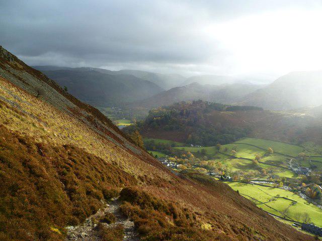 Photo could not load
NY3717 : On The Rake
Michael Graham
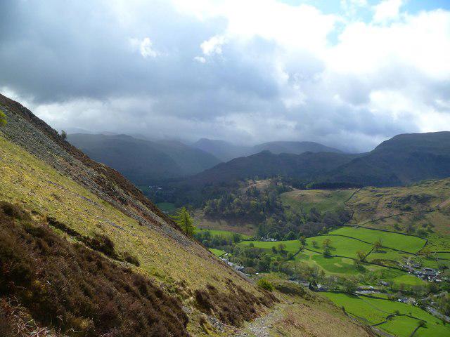 Photo could not load
NY3717 : On The Rake
Michael Graham
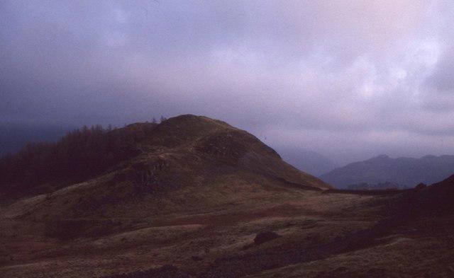 Photo could not load
NY3717 : Glenridding Dodd
Richard Webb
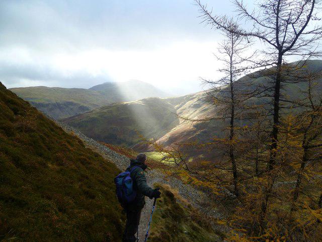 Photo could not load
NY3717 : Man Sees Sunlight in Lake District
Michael Graham
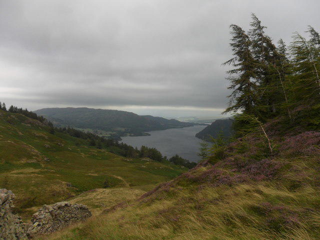 Photo could not load
NY3717 : Overlooking Ullswater
Anthony Foster
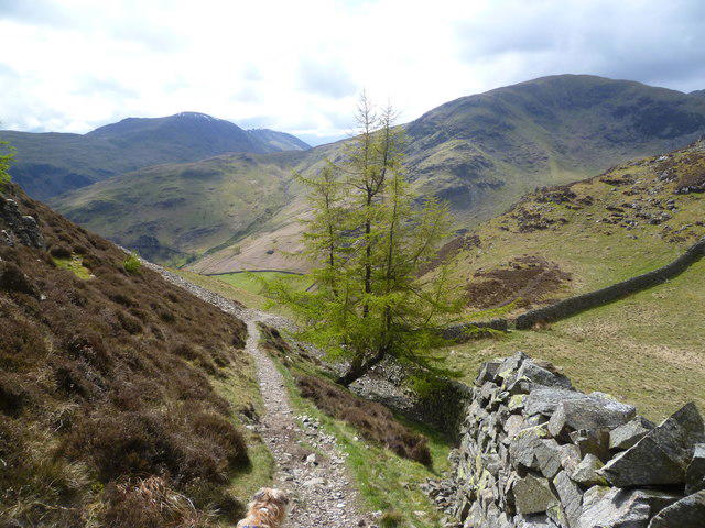 Photo could not load
NY3717 : Descending Glenridding Dodd
Michael Graham
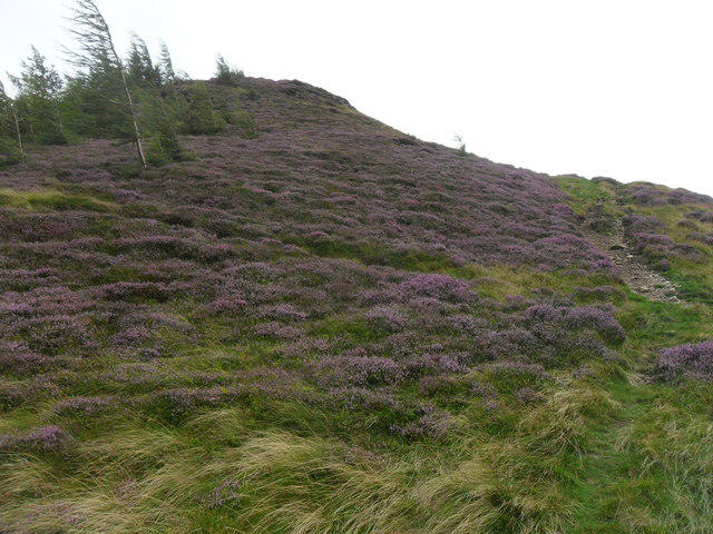 Photo could not load
NY3717 : Approaching Glenridding Dodd
Anthony Foster
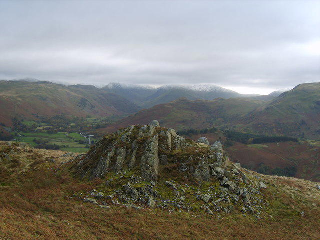 Photo could not load
NY3817 : On Glenridding Dodd
Michael Graham
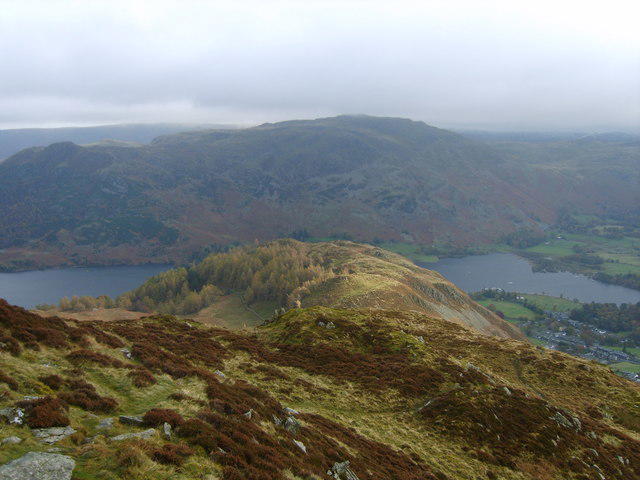 Photo could not load
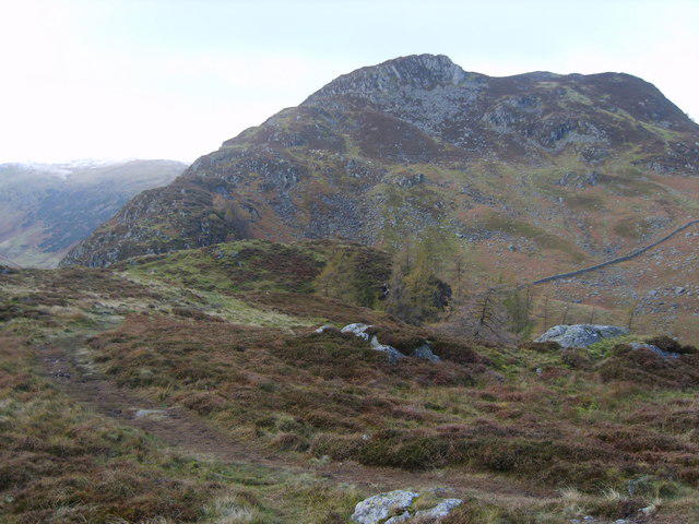
NY3717 : On Sheffield Pike
Michael Graham
NY3717 : On Glenridding Dodd
Michael Graham
Hill facts and local notes
Classifications
Elevation
442m
1,450 ft
Prominence
44m
Coordinates
54.5495, -2.9593
NY380175
OS Map
90
Explorer: OL5S
At the Summit
The summit is marked by a small rocky outcrop and a cairn. There's ample space to rest and enjoy the marvellous views.
Terrain & Geology
The area predominantly features volcanic rock formations known as rhyolite, which give it a rugged terrain. The distinctive geology makes it an interesting study for enthusiasts of earth sciences.
Views & Scenery
From the summit, you can see the iconic Helvellyn massif and the shimmering waters of Ullswater. The view extends to surrounding peaks and valleys, painting a picturesque landscape.
History & Heritage
Name Origin
The name 'Dodd' is derived from the Old Norse word 'dodd', meaning hill or knoll.
Historical Significance
Glenridding Dodd has been a popular hiking spot for years, often used as a training ground for more serious climbs in the Lake District.
Getting There & Facilities
Parking
The closest parking is at Glenridding village, where there are several car parks available. They may fill up quickly during peak seasons, so arriving early is recommended.
Public Transport
The nearest bus service operates from Penrith, with connections to Glenridding. Regular services run on weekends during the tourist season.
Nearby Facilities
In Glenridding, you’ll find a few cafes, a shop for supplies, and public toilets. Great for replenishing your energy after a hike!
Safety Information
Known Hazards
- Like many mountainous trails, be wary of sudden weather changes, loose rocks, and slippery surfaces. Make sure to check the weather before heading out.
General Safety Tips
- Check weather conditions before setting out
- Carry appropriate clothing and equipment
- Let someone know your planned route
- Take a map, compass, and GPS device
- Carry emergency supplies: food, water, first aid kit, torch
Hills
Some common questions about the hills answered
Are there group walks up Glenridding Dodd?
Many walkers use Walkmates to join or organise walks with others. You can check for group walks around Glenridding Dodd through the maps
Are there other walkers around Glenridding Dodd?
Activity varies by location and time, but Walkmates lets you see whether others have shared walks or shown interest in this area. Find other people through the walking friends search walking friends for Glenridding Dodd search or of course create your own walk for Glenridding Dodd
Can I organise a walk to Glenridding Dodd?
Yes. If there aren’t any walks listed already, you can create a walk and make it available for others to join.
If you're signed up to Walkmates, you can create a walk to Glenridding Dodd.
How do I find a walk up this hill?
There are often multiple ways to walk this hill, depending on experience and route preference. Walkmates helps you explore walks and routes that others have shared.
Can I suggest a new route up Glenridding Dodd?
Yes. You can suggest or create routes to share with others. Walkmates focuses on the social side of walking, so routes are used to help people organise walks and explore areas together, rather than as detailed navigation tools or route libraries.
Other uses really appreciate knowledgeable walkers sharing their routes. Share your favourite route to Glenridding Dodd here
The is an error or something incorrect about this hill. How do I let you know?
We always strive to keep the information on Walkmates as accurate as possible. If you find an error, please let us know through the contact form and we'll aim to correct it as quickly as possible
Community Discussion
Comments
Location
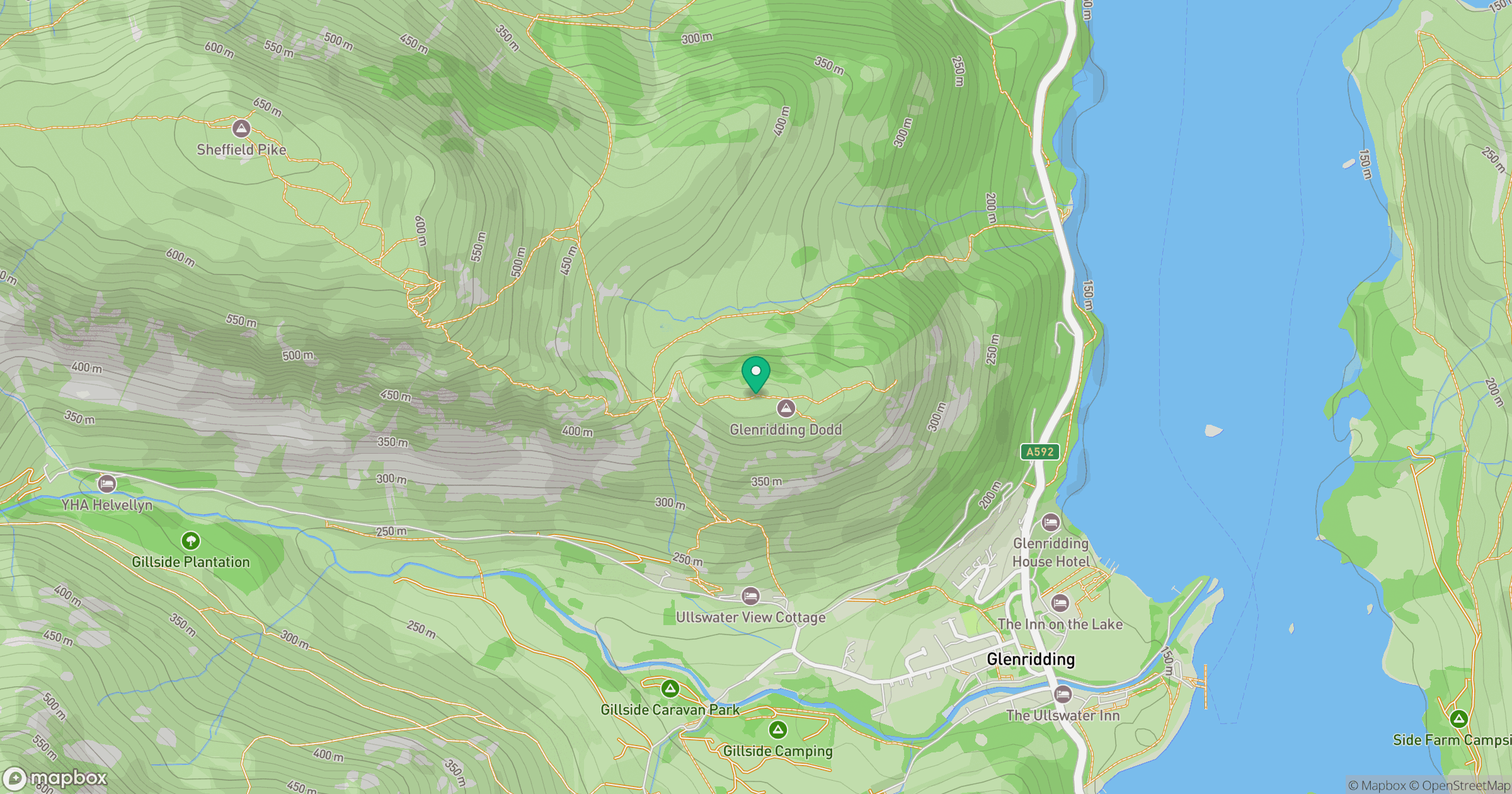
Grid reference: NY380175
View on OpenStreetMapOpens a map in a new tab, centred on the hill.

No comments yet. Be the first.