
Geal Charn
Good walks are even better shared.
Overview
Geal Charn
Overview
Geal Charn, standing tall at 813 meters, is a striking Munro in the heart of the Scottish Highlands. Its location just off the A86 makes it relatively accessible but don’t let that fool you - it offers a grand adventure!
Geology
As comprised mainly of granite and schist, Geal Charn showcases some of the finest geological features of the Scottish Highlands. The fascinating formations are reminders of a time long past, when different forces reshaped the Earth.
Routes
There are a couple of excellent routes to tackle Geal Charn, each offering its own unique flavour of the Highlands. The southern approach is a favourite among locals due to its scenic beauty and more gradual ascent. Meanwhile, the northern route via Loch Pattack provides a more gentle trek with scenic loch views.
Summit Features
Reward yourself at the top with a visit to the prominent cairn and the concrete trig point which marks the summit. Both spots are great for those celebrated summit selfies, just remember to hold your camera steady while you try to capture the view behind you!
Terrain
The terrain leading up to and around the summit is rocky with grassy patches. Beware of boggy areas especially after rain! Ideal for true adventurers - if mud splatters aren’t a badge of honour, what is?
Views
Once at the top, you’re treated to panoramic views across the Monadhliath mountains and breathtaking sights of Loch Pattack below. The best times to appreciate these vast landscapes are in spring when the flowers bloom or in autumn when the leaves roar in vibrant colours.
Hazards
Like all Scottish hills, weather can change in the blink of an eye. Make sure to check conditions before you go and always carry full waterproofs. Beware of rocky sections that can be slippery and muddy trails, as well as any lurking bogs waiting to swallow the unprepared.
Nearby Summits
Nearby highlights include Carn a' Chaoirne and Mullach Coire Mhic Fhearchair, both of which invite further exploration. For those keen on bagging Munros, why not tackle these in a day?
Access and Facilities
Easily accessed from the A86, parking is available at a layby. Don’t expect a multitude of amenities, but Laggan is close by for a meal or supplies. It’s a small but charming community where the kettle is always on!
History
The name 'Geal Charn', meaning 'White Cairn', nods towards the light-coloured granite rock around the summit. This mountain has ties to the local MacPherson clan, adding a rich layer of historical significance to your adventure.
Enjoy your hike up Geal Charn, take in the sights, and remember - the only thing better than standing on a summit is being able to say you’ve done it!
Explore routes near Geal Charn
Walks starting near this hill. Open a route to check its map, distance and full itinerary.
Rothiemurchus: Beaver Trail and Lochan Mor
View route
Aviemore: Loch an Eilein and the Croft Track from Rothiemurchus
View route
Cairngorms night walk and stargazing (event meeting)
View route
Cairngorms night walk and stargazing (event meeting)
View route
Route planning notes
These notes describe possible approaches. Check a route's map and access information when planning your walk.
Southern Approach from the A86
A popular route that offers stunning views as you climb, starting from the A86 road, passing through heather-clad slopes and finally up to the summit.
Northern Approach via Loch Pattack
This route meanders around the beautiful Loch Pattack before ascending to the summit, rewarding hikers with tranquil waters and lush scenery.
Make a day of it, together
Find someone to share the walk with, or organise a day out along a route you like.
Hill facts and local notes
Classifications
Elevation
878m
2,881 ft
Prominence
51m
Coordinates
56.9310, -3.5920
NO032833
OS Map
43
Explorer: OL52N 387N
At the Summit
The summit features a prominent cairn as well as a trig point, which is perfect for the obligatory summit selfie (don't forget to check your hair!).
Terrain & Geology
Geal Charn is primarily composed of granite and schist, typical of the dramatic geology found in the Highlands. The rugged terrain offers a peek into the geological history that has shaped these mountains over millennia.
Views & Scenery
On a clear day, the views extend across the Monadhliath mountains, as well as the southern slopes of the Cairngorms. Look out for the shimmering Loch Pattack below.
History & Heritage
Name Origin
The name 'Geal Charn' translates to 'White Cairn' in Gaelic, which likely refers to the natural light-coloured granite outcrops found near the summit.
Historical Significance
This mountain is a part of the traditional territory of the local MacPherson clan and holds cultural significance for the Highland community.
Getting There & Facilities
Parking
Parking is available at the A86 layby, approximately 3 km from the starting point of the southern approach.
Public Transport
Public transport options are limited, but buses do run to the nearest towns of Laggan and Newtonmore.
Nearby Facilities
While there are no facilities directly on the mountain, the nearest village, Laggan, has a small shop and café where you can grab a bite or a brew before you head out onto the hill.
Safety Information
Known Hazards
- Beware of sudden weather changes, slippery terrain, and deep bogs in the vicinity. Take care in winter as the conditions can be quite treacherous.
General Safety Tips
- Check weather conditions before setting out
- Carry appropriate clothing and equipment
- Let someone know your planned route
- Take a map, compass, and GPS device
- Carry emergency supplies: food, water, first aid kit, torch
Hills
Some common questions about the hills answered
Are there group walks up Geal Charn?
Many walkers use Walkmates to join or organise walks with others. You can check for group walks around Geal Charn through the maps
Are there other walkers around Geal Charn?
Activity varies by location and time, but Walkmates lets you see whether others have shared walks or shown interest in this area. Find other people through the walking friends search walking friends for Geal Charn search or of course create your own walk for Geal Charn
Can I organise a walk to Geal Charn?
Yes. If there aren’t any walks listed already, you can create a walk and make it available for others to join.
If you're signed up to Walkmates, you can create a walk to Geal Charn.
How do I find a walk up this hill?
There are often multiple ways to walk this hill, depending on experience and route preference. Walkmates helps you explore walks and routes that others have shared.
Can I suggest a new route up Geal Charn?
Yes. You can suggest or create routes to share with others. Walkmates focuses on the social side of walking, so routes are used to help people organise walks and explore areas together, rather than as detailed navigation tools or route libraries.
Other uses really appreciate knowledgeable walkers sharing their routes. Share your favourite route to Geal Charn here
The is an error or something incorrect about this hill. How do I let you know?
We always strive to keep the information on Walkmates as accurate as possible. If you find an error, please let us know through the contact form and we'll aim to correct it as quickly as possible
Community Discussion
Comments
Location
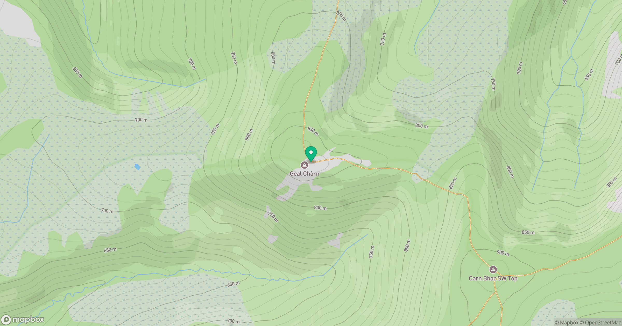
Grid reference: NO032833
View on OpenStreetMapOpens a map in a new tab, centred on the hill.
Nearby Hills
Beinn a' Ghlo - Carn nan Gabhar
1,122m
![Ben Macdui [Beinn Macduibh]](https://cdn.walkmates.com/gallery-images/e60cf32aeb394c3282fcdd14a63368f0.jpg)
Ben Macdui [Beinn Macduibh]
1,309m
Beinn Mheadhoin
1,183m
Beinn a' Ghlo - Braigh Coire Chruinn-bhalgain
1,070m
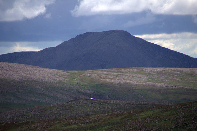
Cairn Toul
1,292m
No comments yet. Be the first.