

Freebrough Hill
Good walks are even better shared.
NZ6912 : Freeborough Hill
T Eyre Photo source
Overview
Freebrough Hill
Nestled within the scenic expanse of the North York Moors, Freebrough Hill presents an inviting challenge for walkers and nature lovers alike. Standing at a respectable 205 meters, this Marilyn, though modest in height, holds its own with remarkable views and a friendly atmosphere.
Geology
Freebrough Hill is primarily composed of sandstone, giving the ground a solid yet pleasant footing as you make your ascent. The surrounding landscape features intriguing glacial deposits, remnants of the Ice Age, which help tell the geological story of the region.
Routes
For those looking to stretch their legs, the Freebrough Hill Circular Walk is a popular choice. Spanning approximately 5 km, this moderate hike offers not only delightful scenery but also a chance to embrace the fresh moorland air—just watch out for the occasional sheep crossing your path!
Summit Features
Reaching the summit is marked by a small stone cairn, which doubles as a great backdrop for that all-important summit selfie. A trig point sits nearby, standing tall and proud, as if to say, "You made it!".
Terrain
The terrain is mostly grassy, with a few rocky patches here and there. It’s an easy-going hike, though do keep an eye out for slippery spots after rain—nobody enjoys an unplanned slip and slide!
Views
Once at the top, you're rewarded with sweeping panoramic vistas of the North York Moors—nothing short of breathtaking! On a clear day, expect views stretching to Embleton Bay and the North Sea. The best times to appreciate these views are late spring and early autumn when vibrant heather covers the landscape, creating an unforgettable tapestry of colours.
Hazards
As with any hike, it’s essential to be aware of potential hazards. Be cautious of muddy or slippery paths post-rain and watch out for any grazing livestock who may see you as an intruder in their territory.
Nearby Summits
If you're feeling adventurous, consider tackling nearby peaks such as Carlton Bank at 409 meters or Black Hambleton, which tops out at 464 meters. Both provide excellent opportunities for additional exploration.
Access
Getting to Freebrough Hill is straightforward. There’s a small parking area at the base, easily reachable via the B1257 road. Alternatively, if you're relying on public transport, the closest bus stop is in Great Ayton, a quaint village about 4 km away.
Facilities
After your hike, why not treat yourself to a well-deserved cuppa? Great Ayton boasts several cafes and public toilets to refresh and refuel.
History
The name Freebrough is thought to derive from Old English, meaning 'the hill near the free lands'. Historically, this area was significant to ancient Britons and has seen agricultural activity for centuries.
In summary, Freebrough Hill is a charming destination that captivates hikers with its stunning views and rich history. So lace up your boots, grab your walking stick, and prepare for a day of adventure!
Explore routes near Freebrough Hill
Walks starting near this hill. Open a route to check its map, distance and full itinerary.
Commondale and Hob Cross
View route
Grosmont to Beck Hole, Esk Valley Circular
View route
Whitby to Stainsacre on the Cinder Track
View route
River Tees industrial heritage
View route
Route planning notes
These notes describe possible approaches. Check a route's map and access information when planning your walk.
Freebrough Hill Circular Walk
A delightful circular route starting from a nearby car park that offers scenic views and gentle gradients.
Make a day of it, together
Find someone to share the walk with, or organise a day out along a route you like.
Photo Gallery
View all Photo could not load
NZ6912 : Freeborough Hill
T Eyre
 Photo could not load
NZ6912 : Freebrough Hill
Colin Grice
 Photo could not load
NZ6912 : The eastern flanks of Freeborough Hill
Garry Smales
 Photo could not load
NZ6912 : Freeburgh Hill
Eirian Evans
 Photo could not load
NZ6812 : Freebrough Hill
Mick Garratt
 Photo could not load
NZ6812 : Freebrough Hill and Dimmingdale
Mick Garratt
 Photo could not load
NZ6812 : Freebrough Hill
Mick Garratt
Hill facts and local notes
Classifications
Elevation
250m
820 ft
Prominence
44m
Coordinates
54.5045, -0.9364
NZ689126
OS Map
94
Explorer: OL26N
At the Summit
The summit is marked by a small stone cairn and offers a trig point for those keen on collecting summit selfies.
Terrain & Geology
Freebrough Hill is primarily composed of sandstone, which provides a firm footing for hikers. The surrounding area showcases interesting glacial deposits, characteristic of the North York Moors.
Views & Scenery
Panoramic views of the North York Moors and beyond, including Embleton Bay and distant coastal scenery.
History & Heritage
Name Origin
The name 'Freebrough' is thought to derive from Old English, meaning 'the hill near the free lands'.
Historical Significance
Historically, the area has ties to ancient Britons, and it's believed to have been used for agricultural purposes since prehistoric times.
Getting There & Facilities
Parking
There is a small parking area at the foot of Freebrough Hill, accessible via the B1257 road, with space for a handful of cars.
Public Transport
The nearest bus stop is in the village of Great Ayton, approximately 4 km away. Buses run regularly from nearby towns.
Nearby Facilities
Public toilets and cafes can be found in Great Ayton, perfect for a post-hike cuppa.
Safety Information
Known Hazards
- Potentially slippery paths after rain, as well as the occasional livestock grazing nearby.
General Safety Tips
- Check weather conditions before setting out
- Carry appropriate clothing and equipment
- Let someone know your planned route
- Take a map, compass, and GPS device
- Carry emergency supplies: food, water, first aid kit, torch
Hills
Some common questions about the hills answered
Are there group walks up Freebrough Hill?
Many walkers use Walkmates to join or organise walks with others. You can check for group walks around Freebrough Hill through the maps
Are there other walkers around Freebrough Hill?
Activity varies by location and time, but Walkmates lets you see whether others have shared walks or shown interest in this area. Find other people through the walking friends search walking friends for Freebrough Hill search or of course create your own walk for Freebrough Hill
Can I organise a walk to Freebrough Hill?
Yes. If there aren’t any walks listed already, you can create a walk and make it available for others to join.
If you're signed up to Walkmates, you can create a walk to Freebrough Hill.
How do I find a walk up this hill?
There are often multiple ways to walk this hill, depending on experience and route preference. Walkmates helps you explore walks and routes that others have shared.
Can I suggest a new route up Freebrough Hill?
Yes. You can suggest or create routes to share with others. Walkmates focuses on the social side of walking, so routes are used to help people organise walks and explore areas together, rather than as detailed navigation tools or route libraries.
Other uses really appreciate knowledgeable walkers sharing their routes. Share your favourite route to Freebrough Hill here
The is an error or something incorrect about this hill. How do I let you know?
We always strive to keep the information on Walkmates as accurate as possible. If you find an error, please let us know through the contact form and we'll aim to correct it as quickly as possible
Community Discussion
Comments
Location
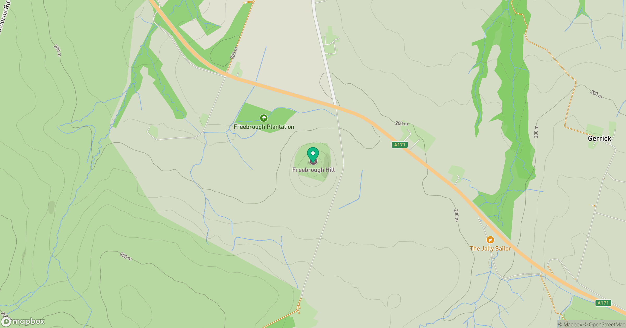
Grid reference: NZ689126
View on OpenStreetMapOpens a map in a new tab, centred on the hill.
Nearby Hills
Rombalds Moor [Ilkley Moor]
402m
Buckden Pike
702m
Nine Standards Rigg
662m
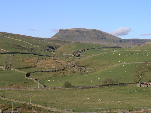
Pen-y-ghent
694m
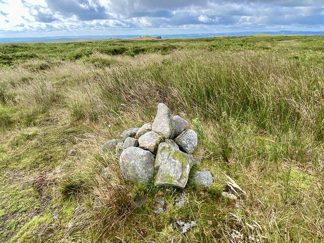
Kinder Scout
636m
No comments yet. Be the first.