

Foel Cae'rberllan
Good walks are even better shared.
SH6708 : Foel Cae'rberllan
Rude Health Photo source
Explore routes near Foel Cae'rberllan
Walks starting near this hill. Open a route to check its map, distance and full itinerary.
Cadair Idris - Pony Path
View route
Mawddach Trail: Penmaenpool to Dolgellau Riverside Return
View route
Mawddach Trail: Penmaenpool to Arthog Estuary Return
View route
Coed y Brenin: Pont Ty'n-y-groes and Mawddach Forest Trail
View route
Route planning notes
These notes describe possible approaches. Check a route's map and access information when planning your walk.
Bwlch Trewyn Route
A gentle ascent from the Bwlch Trewyn pass, offering stunning views of surrounding valleys.
Llanfihangel Glyn Myfyr Route
Starts from the quaint village, this route winds through lush, green pastures before ascending.
Make a day of it, together
Find someone to share the walk with, or organise a day out along a route you like.
Photo Gallery
View all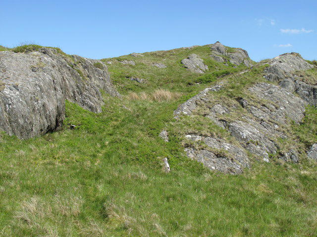 Photo could not load
SH6708 : Foel Cae'rberllan
Rude Health
Hill facts and local notes
Classifications
Elevation
380m
1,247 ft
Prominence
211m
Coordinates
52.6554, -3.9584
SH676082
OS Map
124
Explorer: OL23W
At the Summit
The summit is marked by a small but sturdy stone cairn. On a clear day, keep your eyes peeled for the distant peaks of Snowdonia.
Terrain & Geology
Foel Cae'rberllan is primarily composed of volcanic rock formations, mainly rhyolite and andesite, which lend to its rugged terrain. The mountain's geology provides fascinating insights into the tectonic activities that shaped this part of Wales millions of years ago.
Views & Scenery
Panoramic views of the surrounding peaks, including the towering peaks of Snowdon and the picturesque valleys below.
History & Heritage
Name Origin
The name 'Foel Cae'rberllan' translates to 'Hill of the Field from the Cae'rberllan', indicating its agricultural past.
Historical Significance
This area has historical significance as it has been inhabited since prehistoric times, with various archaeological findings nearby.
Getting There & Facilities
Parking
There is a small lay-by along the A5 at Bwlch Trewyn, suitable for 3-4 cars. Arrive early during peak seasons to secure a spot.
Public Transport
Bus services run intermittently from nearby towns, with the nearest stop being in Llanfihangel Glyn Myfyr.
Nearby Facilities
The nearest facilities, including cafes and toilets, are located in the village of Llanfihangel Glyn Myfyr, approximately 6 km away from the mountain.
Safety Information
Known Hazards
- Wet and boggy ground can be treacherous, especially in autumn and winter. Always be sure to wear appropriate boots and follow marked paths.
General Safety Tips
- Check weather conditions before setting out
- Carry appropriate clothing and equipment
- Let someone know your planned route
- Take a map, compass, and GPS device
- Carry emergency supplies: food, water, first aid kit, torch
Hills
Some common questions about the hills answered
Are there group walks up Foel Cae'rberllan?
Many walkers use Walkmates to join or organise walks with others. You can check for group walks around Foel Cae'rberllan through the maps
Are there other walkers around Foel Cae'rberllan?
Activity varies by location and time, but Walkmates lets you see whether others have shared walks or shown interest in this area. Find other people through the walking friends search walking friends for Foel Cae'rberllan search or of course create your own walk for Foel Cae'rberllan
Can I organise a walk to Foel Cae'rberllan?
Yes. If there aren’t any walks listed already, you can create a walk and make it available for others to join.
If you're signed up to Walkmates, you can create a walk to Foel Cae'rberllan.
How do I find a walk up this hill?
There are often multiple ways to walk this hill, depending on experience and route preference. Walkmates helps you explore walks and routes that others have shared.
Can I suggest a new route up Foel Cae'rberllan?
Yes. You can suggest or create routes to share with others. Walkmates focuses on the social side of walking, so routes are used to help people organise walks and explore areas together, rather than as detailed navigation tools or route libraries.
Other uses really appreciate knowledgeable walkers sharing their routes. Share your favourite route to Foel Cae'rberllan here
The is an error or something incorrect about this hill. How do I let you know?
We always strive to keep the information on Walkmates as accurate as possible. If you find an error, please let us know through the contact form and we'll aim to correct it as quickly as possible
Community Discussion
Comments
Location
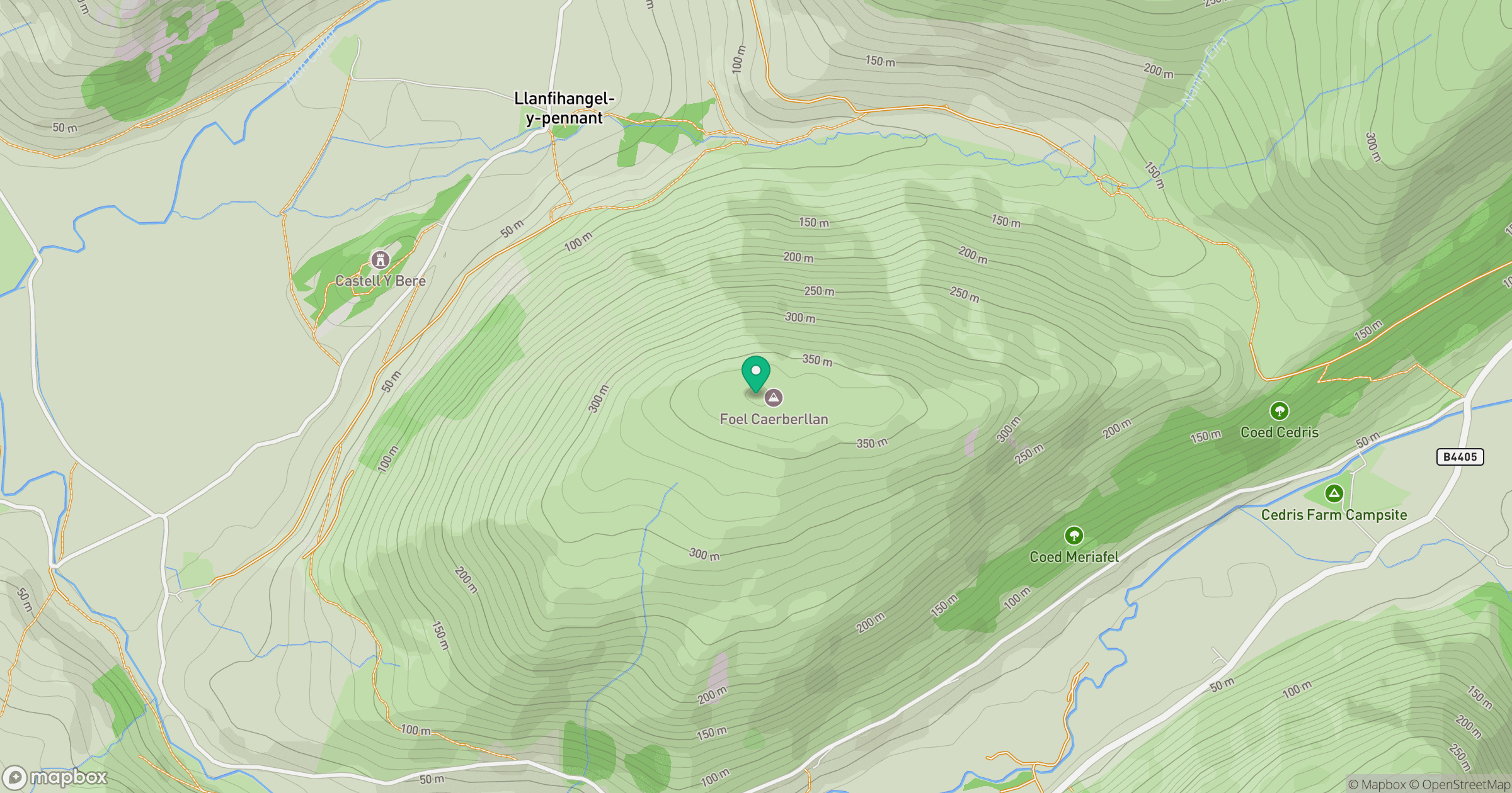
Grid reference: SH676082
View on OpenStreetMapOpens a map in a new tab, centred on the hill.
Nearby Hills
Cadair Idris - Penygadair
893m
Y Garn
629m
Rhinog Fawr
720m
Pumlumon Fawr [Plynlimon]
752m
Aran Fawddwy
906m
No comments yet. Be the first.