

Eglwyseg Mountain
Good walks are even better shared.
SJ2346 : Cairn on Ruabon Mountain
John Haynes Photo source
Overview
Eglwyseg Mountain: The Jewel of Clwyd
Nestled within the Clwydian Range, Eglwyseg Mountain stands proudly at 462 meters tall and boasts a prominence of 80 meters. This Marilyn offers not just a physical challenge but a feast for the senses, making it a favourite among walkers.
Geology
Eglwyseg is primarily composed of limestone, formed during the Carboniferous period, offering fascinating geological features. The striking cliffs and rocky outcrops provide both a challenge for climbers and a unique ecosystem for flora and fauna.
Routes
There are several routes to tackle Eglwyseg. The Sustrans Route 5 is particularly popular, weaving through woodland and open land, while Offa's Dyke Path connects history and nature, tracing the ancient border between England and Wales. Regardless of the path you choose, be sure to wear sturdy boots!
Summit Features
Reaching the summit, you’ll find a sturdy trig point that invites all walkers to pause and take in the views. Here, feel free to strike a pose for your social media followers!
Terrain
Expect a variety of terrain types; rocky patches can catch you off guard, and boggy areas seem to have a lovely obsession with collecting your boots. A word of warning: don't wear your best shoes!
Views
On a clear day, the views from the summit are utterly breathtaking. Highlights include the rolling hills of the Clwydian Range and the distant peaks of Snowdon. Spring and autumn are best for these vistas; just pray the weather gods are in your favour!
Hazards
While hiking is a delightful pastime, there are hazards to consider. Be mindful of loose rocks, and be prepared for sudden changes in weather—fog has a habit of sneaking in when least expected!
Nearby Summits
If you’re feeling adventurous, consider exploring nearby summits such as Moel y Parc and Mynydd Ffridd. These peaks complement your Eglwyseg adventure and provide additional views and terrain to enjoy.
Access
Eglwyseg is easily accessible, with the nearest parking located in Llangollen. Public transport options also service this beautiful area.| So, no excuses; let the bus whisk you away!
Facilities
After your hike, Llangollen has lovely cafes where you can recharge with tea and scones. Remember, calories don’t count after a hike!
History
The name Eglwyseg hints at its ecclesiastical heritage; 'eglwys' means church in Welsh. This mountain has stood as a witness to the overlapping cultures of the Welsh and English.
With its stunning views, varied terrain, and interesting history, Eglwyseg Mountain invites all to explore its beauty. So lace up those boots, grab your mates, and let’s get hiking!
Explore routes near Eglwyseg Mountain
Walks starting near this hill. Open a route to check its map, distance and full itinerary.
World’s End and back
View route
Llangollen to Horseshoe Falls: Canal Towpath from Market Street
View route
Oswestry Walk with Men Walking & Talking
View route
Ellesmere Walk with Men Walking & Talking
View route
Route planning notes
These notes describe possible approaches. Check a route's map and access information when planning your walk.
Sustrans Route 5
This popular route starts from the car park at the base and climbs steadily through wooded areas before reaching open pasture lands.
Offa's Dyke Path
Following the ancient border path, this route offers breathtaking views and a mix of terrain, ideal for those who enjoy historic landscapes.
Make a day of it, together
Find someone to share the walk with, or organise a day out along a route you like.
Photo Gallery
View all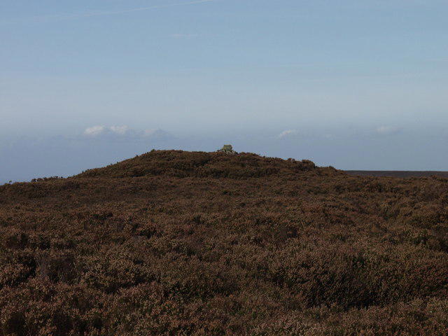 Photo could not load
SJ2346 : Cairn on Ruabon Mountain
John Haynes
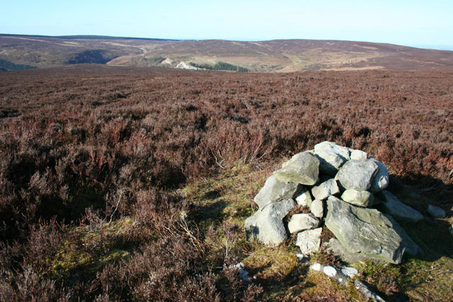 Photo could not load
SJ2346 : Cairn on 511 m summit of Ruabon Mountain
Espresso Addict
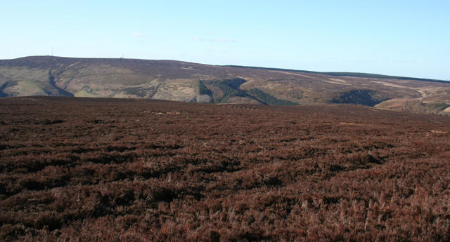 Photo could not load
SJ2346 : View towards Cyrn-y-Brain from Ruabon Mountain
Espresso Addict
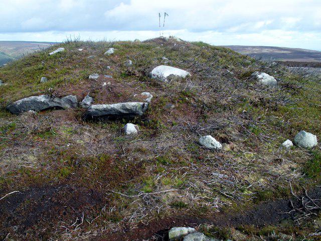 Photo could not load
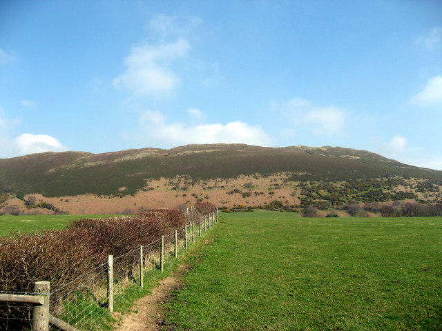
SJ2346 : Eglwyseg Mountain
Rude Health
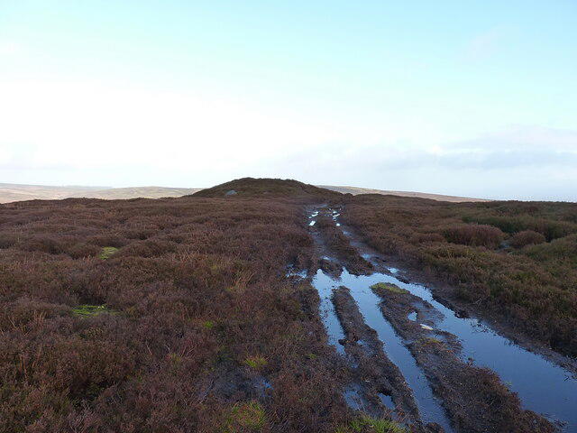 Photo could not load
SJ2346 : Summit cairn on Ruabon Mountain
Richard Law
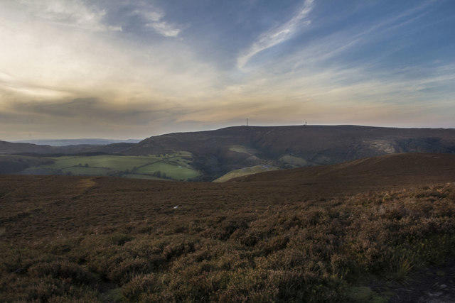 Photo could not load
SJ2346 : Eglwyseg Mountain
Geraint Roberts
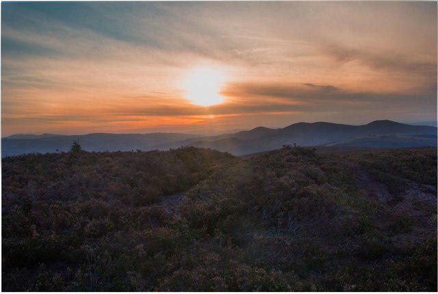 Photo could not load
SJ2346 : View of Maesyrychen Mountain from Eglwyseg
Geraint Roberts
Hill facts and local notes
Classifications
Elevation
512m
1,680 ft
Prominence
88m
Coordinates
53.0096, -3.1467
SJ231464
OS Map
117
Explorer: 255 256
At the Summit
At the summit, you're greeted by a substantial stone trig point which is a perfect spot for a well-deserved rest (and a cheeky selfie).
Terrain & Geology
The mountain is primarily composed of limestone with notable carboniferous rock formations that contribute to its rugged terrain and unique aesthetic.
Views & Scenery
From the summit, you can take in sights including the rolling hills of the Clwydian Range and the majestic sight of Snowdon in the distance, if you’re lucky with the weather.
History & Heritage
Name Origin
The name Eglwyseg derives from the Welsh word for 'church' (eglwys), likely referring to the historical presence of ecclesiastical areas.
Historical Significance
The area has significant historical roots, being part of the old borderlands which influenced local culture and politics.
Getting There & Facilities
Parking
The nearest parking is located at the community centre in the village of Llangollen, a short drive from the base of Eglwyseg Mountain.
Public Transport
Several bus services run to Llangollen from nearby towns, making it accessible without a car.
Nearby Facilities
There are various cafes and pub options in Llangollen where you can grab a delicious scone and a cup of tea after your hike.
Safety Information
Known Hazards
- Loose rocks, especially in wet conditions; watch your footing! Fog can roll in suddenly, reducing visibility quickly.
General Safety Tips
- Check weather conditions before setting out
- Carry appropriate clothing and equipment
- Let someone know your planned route
- Take a map, compass, and GPS device
- Carry emergency supplies: food, water, first aid kit, torch
Hills
Some common questions about the hills answered
Are there group walks up Eglwyseg Mountain?
Many walkers use Walkmates to join or organise walks with others. You can check for group walks around Eglwyseg Mountain through the maps
Are there other walkers around Eglwyseg Mountain?
Activity varies by location and time, but Walkmates lets you see whether others have shared walks or shown interest in this area. Find other people through the walking friends search walking friends for Eglwyseg Mountain search or of course create your own walk for Eglwyseg Mountain
Can I organise a walk to Eglwyseg Mountain?
Yes. If there aren’t any walks listed already, you can create a walk and make it available for others to join.
If you're signed up to Walkmates, you can create a walk to Eglwyseg Mountain.
How do I find a walk up this hill?
There are often multiple ways to walk this hill, depending on experience and route preference. Walkmates helps you explore walks and routes that others have shared.
Can I suggest a new route up Eglwyseg Mountain?
Yes. You can suggest or create routes to share with others. Walkmates focuses on the social side of walking, so routes are used to help people organise walks and explore areas together, rather than as detailed navigation tools or route libraries.
Other uses really appreciate knowledgeable walkers sharing their routes. Share your favourite route to Eglwyseg Mountain here
The is an error or something incorrect about this hill. How do I let you know?
We always strive to keep the information on Walkmates as accurate as possible. If you find an error, please let us know through the contact form and we'll aim to correct it as quickly as possible
Community Discussion
Comments
Location
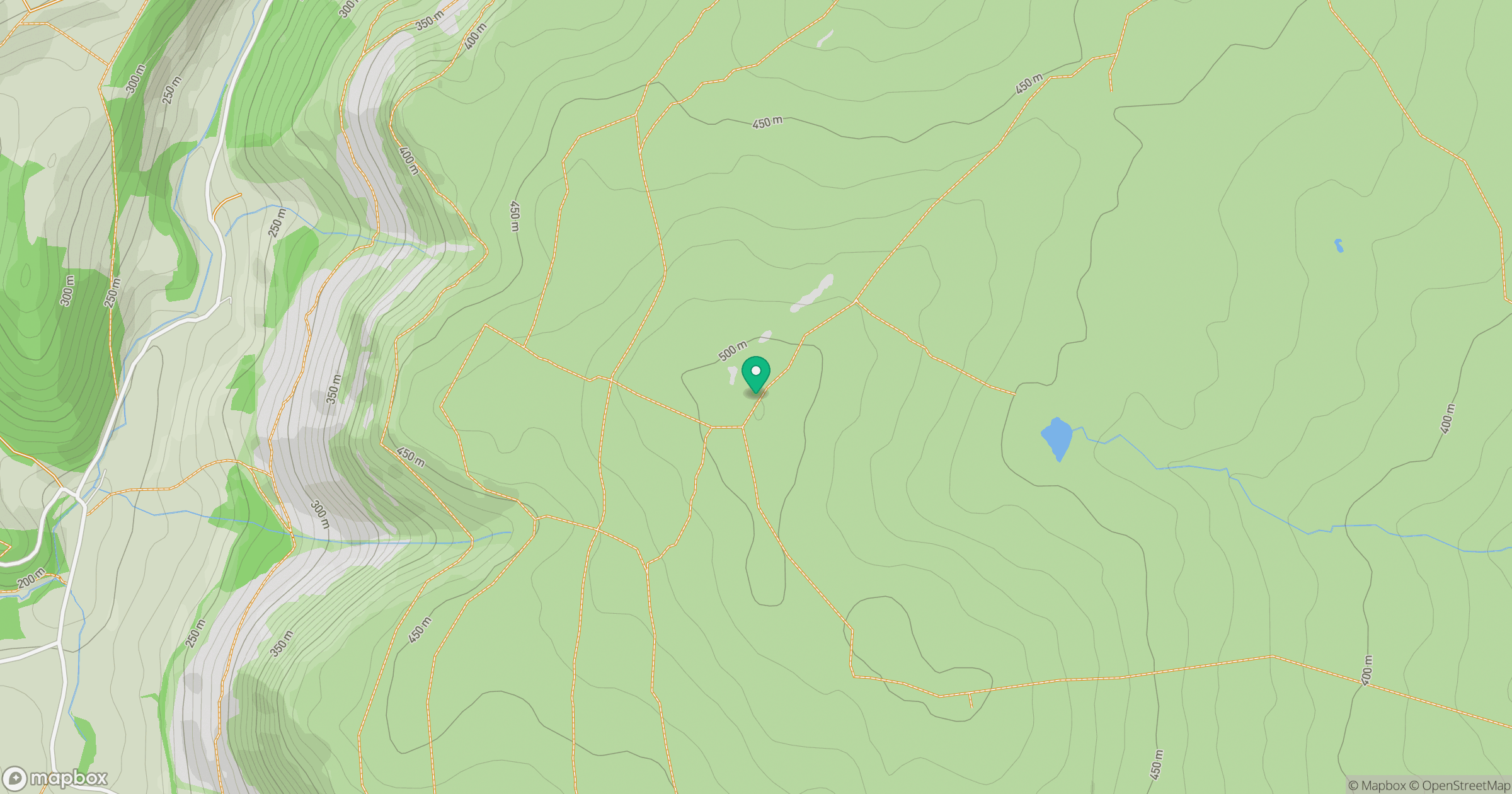
Grid reference: SJ231464
View on OpenStreetMapOpens a map in a new tab, centred on the hill.
No comments yet. Be the first.