

Castle Crag (Shoulthwalte)
Good walks are even better shared.
NY2919 : Ruined sheepfold, Shoulthwaite Gill
Mick Garratt Photo source
Overview
Castle Crag (Shoulthwalte)
Castle Crag, perched at an elevation of 290 meters, is a striking feature within the picturesque Lake District. This unique Marilyn promises both adventure and gorgeous scenery ideal for hikers and outdoor enthusiasts alike.
Geology
The geological composition of Castle Crag is primarily volcanic, formed from ash and tuff from ancient eruptions. The rocks here create fascinating topographical features, making it a stellar spot for rock aficionados who enjoy exploring the history written in the land.
Hiking Routes
Styhead Pass Route
For those looking to access Castle Crag with a bit more challenge, the Styhead Pass Route offers a distance of 6 km and takes approximately 2.5 hours. This popular trail showcases stunning views and the pleasure of walking amidst nature’s beauty.
Borrowdale Trail
Alternatively, the Borrowdale Trail is perfect for a leisurely day out with friends or family. At 4.5 km and about 2 hours, this route is forgiving for those of all hiking abilities. It winds gently to the crag, letting you soak in the beauty without racing against the clock.
Summit Features
Upon summiting Castle Crag, visitors are greeted with a well-trodden stone cairn that enhances the traditional mountain charm. The panoramic views from the top are nothing short of breathtaking; on a clear day, you might just forget you have a return journey to make!
Terrain Type
The terrain consists of rocky pathways interspersed with grassy patches, though you may find yourself tiptoeing around the occasional bog. Good footwear is essential to keep you upright through the various textures!
Views
As for the views, prepare your camera for the sight of Derwentwater, Skiddaw, and surrounding fells. The best seasons for these picturesque scenes are spring and autumn, when vibrant colours create a contrast against the serene backdrop.
Hazards
Be sure to keep an eye on the weather, as conditions can change rapidly in this region. Loose stones along the paths can be troublesome, so tread carefully to avoid unexpected tumbles!
Nearby Summits
You can combine your adventure with nearby peaks like Catbells (451 meters) and Walla Crag (381 meters) for a full day of exploration.
Access
Nearest Parking
Parking is conveniently available at the Great Wood car park, just off the A66, where you can gear up for your hike.
Public Transport
If you're relying on public transport, peaceful bus rides will bring you close from Keswick—the nearest town with all the amenities one could ask for, including cafes and shops to refuel post-hike.
Facilities
Remember to pack a lunch before setting off, as facilities may be sparse near the mountain.
History
As for a bit of trivia, the name Castle Crag hints at its castle-like formation, while historically, these lands have served as ancient routes filled with rich scenes of nature’s drama and human activity.
Now lace up those boots and prepare for a splendid day out at Castle Crag—an adventure awaits!
Explore routes near Castle Crag (Shoulthwalte)
Walks starting near this hill. Open a route to check its map, distance and full itinerary.
Helvellyn via Striding Edge
View route
Striding Edge, Helvellyn and Catstye Cam
View route
Scafell Pike from Seathwaite via the Corridor Route
View route
Whinlatter dark skies walk
View route
Route planning notes
These notes describe possible approaches. Check a route's map and access information when planning your walk.
Styhead Pass Route
A popular and scenic route starting from the Styhead Pass car park; this path takes you through lush landscapes with delightful views.
Borrowdale Trail
An easily accessible circular trail that meanders around Borrowdale, providing gentle slopes before the final ascent up to Castle Crag.
Make a day of it, together
Find someone to share the walk with, or organise a day out along a route you like.
Photo Gallery
View all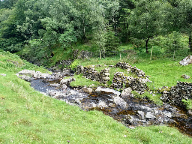 Photo could not load
NY2919 : Ruined sheepfold, Shoulthwaite Gill
Mick Garratt
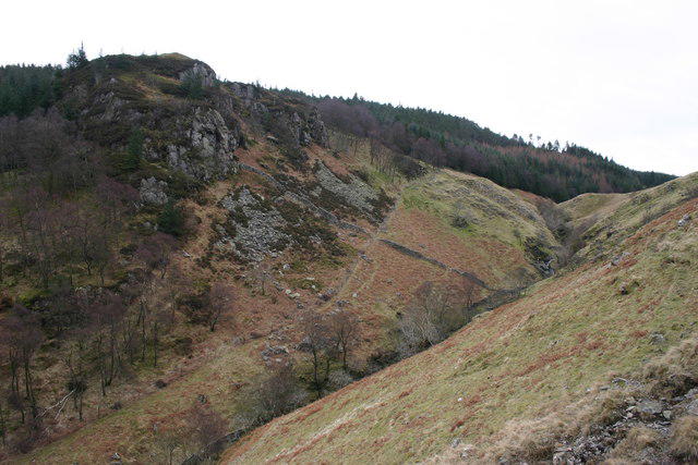 Photo could not load
NY2918 : Shoulthwaite Gill, High Seat
Bob Jenkins
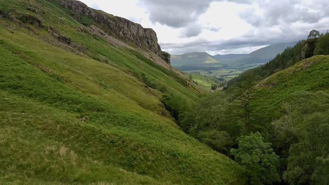 Photo could not load
NY2918 : Shoulthwaite Gill
Mick Garratt
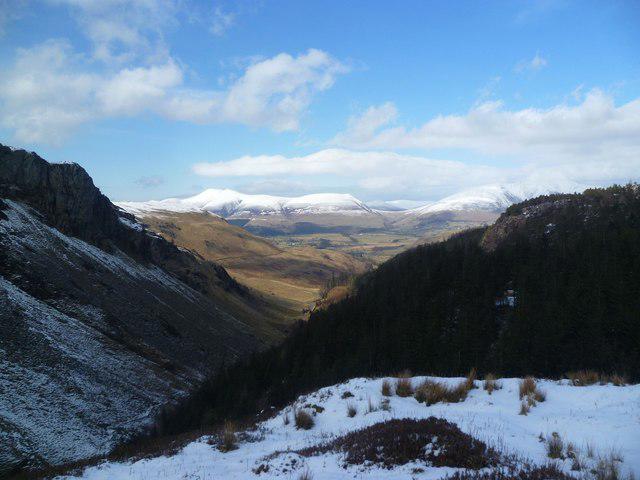 Photo could not load
NY2918 : On Castle Crag
Michael Graham
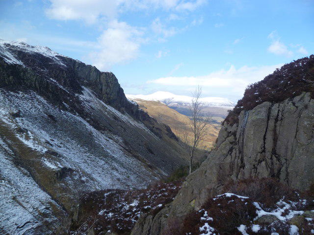 Photo could not load
NY2918 : On Castle Crag
Michael Graham
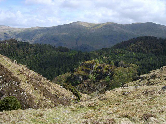 Photo could not load
NY2918 : Above Mere Gill
Michael Graham
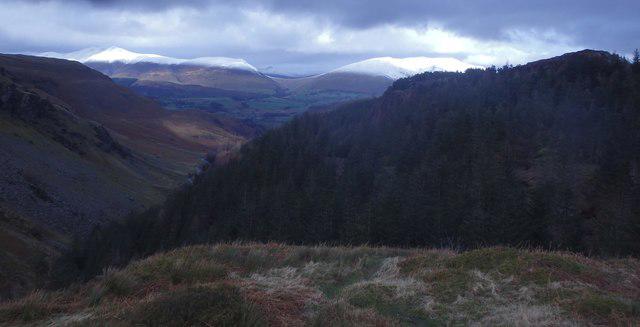 Photo could not load
NY2918 : On Castle Crag
Michael Graham
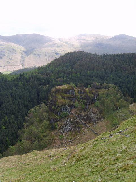 Photo could not load
NY2918 : Castle Crag
Michael Graham
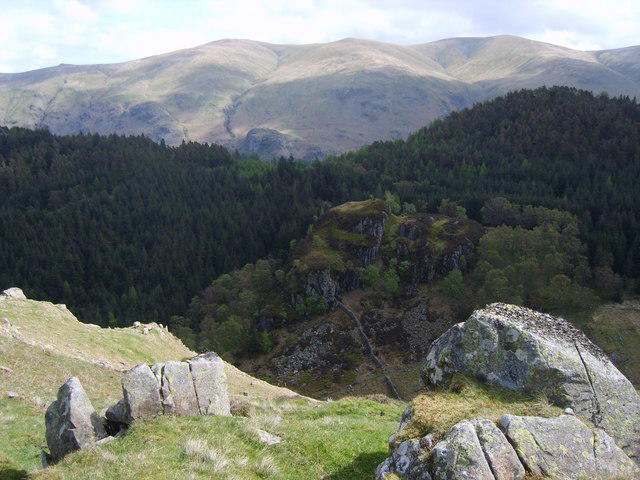 Photo could not load
NY2918 : Castle Crag
Michael Graham
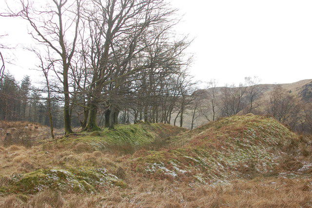 Photo could not load
NY2918 : Castle Crag Fort
Trevor Harris
Hill facts and local notes
Classifications
Elevation
404m
1,325 ft
Prominence
12m
Coordinates
54.5602, -3.0842
NY299188
OS Map
89 90
Explorer: OL4S
At the Summit
The summit is adorned with a prominent stone cairn and offers a splendid panoramic view of the surrounding valleys and peaks.
Terrain & Geology
The rock formations around Castle Crag are primarily comprised of volcanic ash and tuff, resulting from ancient eruptions. The crag displays fascinating features such as smooth ridges and exposed rock faces, providing a rich natural history.
Views & Scenery
From the summit, one can enjoy breathtaking views of Derwentwater, Skiddaw, and the northern fells of the Lake District, making it a photographer's paradise.
History & Heritage
Name Origin
The name 'Castle Crag' is thought to derive from its castle-like appearance and the craggy peaks that dominate the skyline.
Historical Significance
Historically, this area was significant as a part of ancient trade routes and offers numerous archaeological insights into the region's past.
Getting There & Facilities
Parking
The nearest parking is at the Great Wood car park, located off the A66, offering ample space and easy access to the trails.
Public Transport
Regular buses operate from Keswick to villages nearby, with further connections available from Penrith railway station.
Nearby Facilities
Keswick offers a variety of facilities including cafes, restaurants, and public toilets. Bring a packed lunch to enjoy at the summit!
Safety Information
Known Hazards
- Beware of loose stones along the paths and sudden weather changes; proper footwear is highly recommended.
General Safety Tips
- Check weather conditions before setting out
- Carry appropriate clothing and equipment
- Let someone know your planned route
- Take a map, compass, and GPS device
- Carry emergency supplies: food, water, first aid kit, torch
Hills
Some common questions about the hills answered
Are there group walks up Castle Crag (Shoulthwalte)?
Many walkers use Walkmates to join or organise walks with others. You can check for group walks around Castle Crag (Shoulthwalte) through the maps
Are there other walkers around Castle Crag (Shoulthwalte)?
Activity varies by location and time, but Walkmates lets you see whether others have shared walks or shown interest in this area. Find other people through the walking friends search walking friends for Castle Crag (Shoulthwalte) search or of course create your own walk for Castle Crag (Shoulthwalte)
Can I organise a walk to Castle Crag (Shoulthwalte)?
Yes. If there aren’t any walks listed already, you can create a walk and make it available for others to join.
If you're signed up to Walkmates, you can create a walk to Castle Crag (Shoulthwalte).
How do I find a walk up this hill?
There are often multiple ways to walk this hill, depending on experience and route preference. Walkmates helps you explore walks and routes that others have shared.
Can I suggest a new route up Castle Crag (Shoulthwalte)?
Yes. You can suggest or create routes to share with others. Walkmates focuses on the social side of walking, so routes are used to help people organise walks and explore areas together, rather than as detailed navigation tools or route libraries.
Other uses really appreciate knowledgeable walkers sharing their routes. Share your favourite route to Castle Crag (Shoulthwalte) here
The is an error or something incorrect about this hill. How do I let you know?
We always strive to keep the information on Walkmates as accurate as possible. If you find an error, please let us know through the contact form and we'll aim to correct it as quickly as possible
Community Discussion
Comments
Location
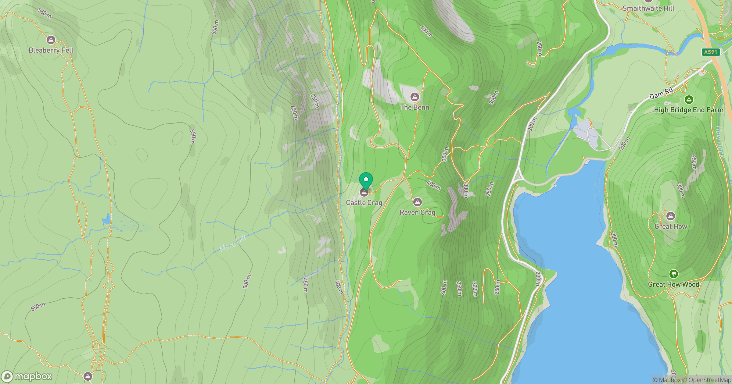
Grid reference: NY299188
View on OpenStreetMapOpens a map in a new tab, centred on the hill.


No comments yet. Be the first.