

Carn Dearg Beag
Good walks are even better shared.
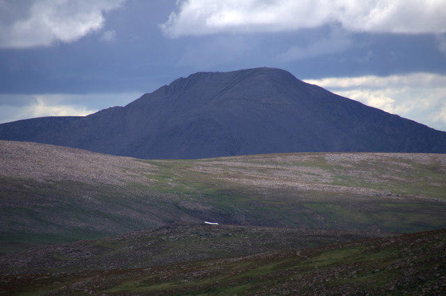
NN8393 : Summit of Carn Dearg Beag
Jim Barton Photo source
Overview
Carn Dearg Beag: The Little Red Hill
Nestled in the heart of the stunning Scottish Highlands, Carn Dearg Beag stands proudly at 915 meters. It's a Munro with plenty of character and a slightly cheeky name, meaning 'Little Red Hill'. This mountain promises not just a workout, but breathtaking views that would make even the most jaded hiker pause to appreciate.
Geology
Constructed primarily of granite, this hill boasts rugged terrain shaped by ancient glacial movements. The rocky outcrops and occasional grassy patches offer a delightful mix for anyone eager to tackle the slopes. Besides being a feast for the eyes, the geology is a stepping stone—quite literally—into understanding this region's past.
Routes
There are a couple of feasible routes to the summit:
- East Ridge Route: An accessible climb where hikers can enjoy lovely views while burning those calories! Approximately 7.2 km long and taking about 3.5 hours, this route is rated moderate.
- West Ridge Route: For those wanting to stray off the beaten path, this is the challenge for you. Slightly longer at 8.0 km and taking about 4 hours, it offers solitude and stunning scenery, all while making your legs sing.
Summit Features
Arriving at the summit, you’ll find a stone cairn proudly marking the spot. It might not be the most grandiose structure you've ever seen, but it certainly invites a selfie or two!
Terrain
Expect a mix of rocky paths interspersed with grassy stretches and the occasional bog to remind you you're in Scotland. Patience is key—take your time and soak in the experience!
Views
The summit views are nothing short of spectacular. You’ll spot Ben Nevis looming to the south, Loch Ness’s glimmering surface to the east, and an expanse of rugged terrain that makes you feel like you’re on top of the world.
Best times to ascend? Spring and autumn are ideal for taking in the sights without too much chill in the air. However, if you’re a winter adventurer, you'd find it equally appealing, just ensure to bring your thermals!
Hazards
Mind the uneven ground and watch out for that infamous Scottish weather; it might surprise you. In essence, if hiking up, ensure you give a thought to your descent!
Access
The nearest parking can be found at the end of the B862, approximately 5 km from the starting point of your adventure. Do arrive early as the sunny days tend to attract more than just a few hikers! If you're relying on public transport, check bus schedules between Fort William and Spean Bridge, and keep a friendly wave ready for passing cars.
The closest village, Spean Bridge, is worth a visit for local amenities and perhaps a relaxing cup of tea post-hike.
Facilities
Spean Bridge hosts several cafes and toilets to refresh and refuel. Perfect for a hot beverage before you tackle the ascent!
History
The name 'Carn Dearg Beag' encapsulates its charm and allure. With a lovely translation to 'Little Red Hill', this majestic summit reflects its Scandinavian-named neighbors across the way. The region is rich in folklore with tales of faeries and folklore waiting around every corner.
In conclusion, Carn Dearg Beag offers a delightful mix of challenge, majesty, and history. Bring your boots, your adventurous spirit, and maybe a snack or two. After all, a happy hiker is a well-fed hiker! Enjoy your adventure, and may your camera capture the beauty that surrounds you.
Explore routes near Carn Dearg Beag
Walks starting near this hill. Open a route to check its map, distance and full itinerary.
Rothiemurchus: Beaver Trail and Lochan Mor
View route
Aviemore: Loch an Eilein and the Croft Track from Rothiemurchus
View route
Aberfeldy: Glassie Woodland and River Tay Circular
View route
Kenmore: Drummond Hill Black Rock Trail above Loch Tay
View route
Route planning notes
These notes describe possible approaches. Check a route's map and access information when planning your walk.
East Ridge Route
This is a popular route that ascends from the east side, offering a moderately challenging trek with beautiful scenery along the way.
West Ridge Route
A less trodden route that provides a peaceful alternate ascent, this path is slightly more challenging but rewards hikers with stunning landscape views.
Make a day of it, together
Find someone to share the walk with, or organise a day out along a route you like.
Photo Gallery
View all Photo could not load
NN8393 : Summit of Carn Dearg Beag
Jim Barton
 Photo could not load
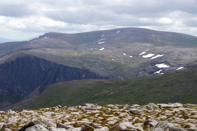
NN8393 : Carn Dearg Beag Trig Point Flush Bracket 10749
thejackrustles
 Photo could not load
NN8393 : At last Carn Dearg Beag Trig Point finally getting closer!
thejackrustles
Hill facts and local notes
Classifications
Elevation
695m
2,281 ft
Prominence
20m
Coordinates
57.0179, -3.9247
NN832935
OS Map
35 43
Explorer: OL56 402
At the Summit
The summit features a well-constructed stone cairn which serves as the main marker. It’s not quite the size of Everest's base camp, but it’s still deserving of a photograph or two!
Terrain & Geology
Carn Dearg Beag is primarily composed of granite, which is typical of the region and contributes to its rugged beauty. The surrounding hills have been shaped by glacial activity, offering fascinating insights into geological processes.
Views & Scenery
From the summit, you can see Ben Nevis to the south, the vast expanse of Loch Ness to the east, and the rugged terrain of the surrounding highlands. It's the perfect spot for those who appreciate a good view.
History & Heritage
Name Origin
The name 'Carn Dearg Beag' translates to 'Little Red Hill', likely referencing the reddish hue of the granite under certain light conditions. Watch for those sunset hues!
Historical Significance
The mountain is a popular destination among hillwalkers and has been featured in various hiking guides. Local folklore may include tales of the Faerie folk, so keep an eye out for any mystical encounters!
Getting There & Facilities
Parking
There's a designated parking area at the end of the B862 road, about 5km from the trailhead. It fills up fast on a sunny day, so arrive early to avoid parking wars!
Public Transport
Buses run from Fort William to Spean Bridge, but check local schedules. Alternatively, your best bet might be to hitch a ride with a friendly local, just avoid mentioning the weather!
Nearby Facilities
There are no facilities on the mountain itself, but Spean Bridge has cafes, restaurants, and public toilets to cater to weary hikers. Stock up on hot chocolate before the ascent.
Safety Information
Known Hazards
- The terrain can be uneven and rocky, so watch your step. Weather conditions can change rapidly, leading to poor visibility. As always, what goes up must come down; don't forget your knees!
General Safety Tips
- Check weather conditions before setting out
- Carry appropriate clothing and equipment
- Let someone know your planned route
- Take a map, compass, and GPS device
- Carry emergency supplies: food, water, first aid kit, torch
Hills
Some common questions about the hills answered
Are there group walks up Carn Dearg Beag?
Many walkers use Walkmates to join or organise walks with others. You can check for group walks around Carn Dearg Beag through the maps
Are there other walkers around Carn Dearg Beag?
Activity varies by location and time, but Walkmates lets you see whether others have shared walks or shown interest in this area. Find other people through the walking friends search walking friends for Carn Dearg Beag search or of course create your own walk for Carn Dearg Beag
Can I organise a walk to Carn Dearg Beag?
Yes. If there aren’t any walks listed already, you can create a walk and make it available for others to join.
If you're signed up to Walkmates, you can create a walk to Carn Dearg Beag.
How do I find a walk up this hill?
There are often multiple ways to walk this hill, depending on experience and route preference. Walkmates helps you explore walks and routes that others have shared.
Can I suggest a new route up Carn Dearg Beag?
Yes. You can suggest or create routes to share with others. Walkmates focuses on the social side of walking, so routes are used to help people organise walks and explore areas together, rather than as detailed navigation tools or route libraries.
Other uses really appreciate knowledgeable walkers sharing their routes. Share your favourite route to Carn Dearg Beag here
The is an error or something incorrect about this hill. How do I let you know?
We always strive to keep the information on Walkmates as accurate as possible. If you find an error, please let us know through the contact form and we'll aim to correct it as quickly as possible
Community Discussion
Comments
Location
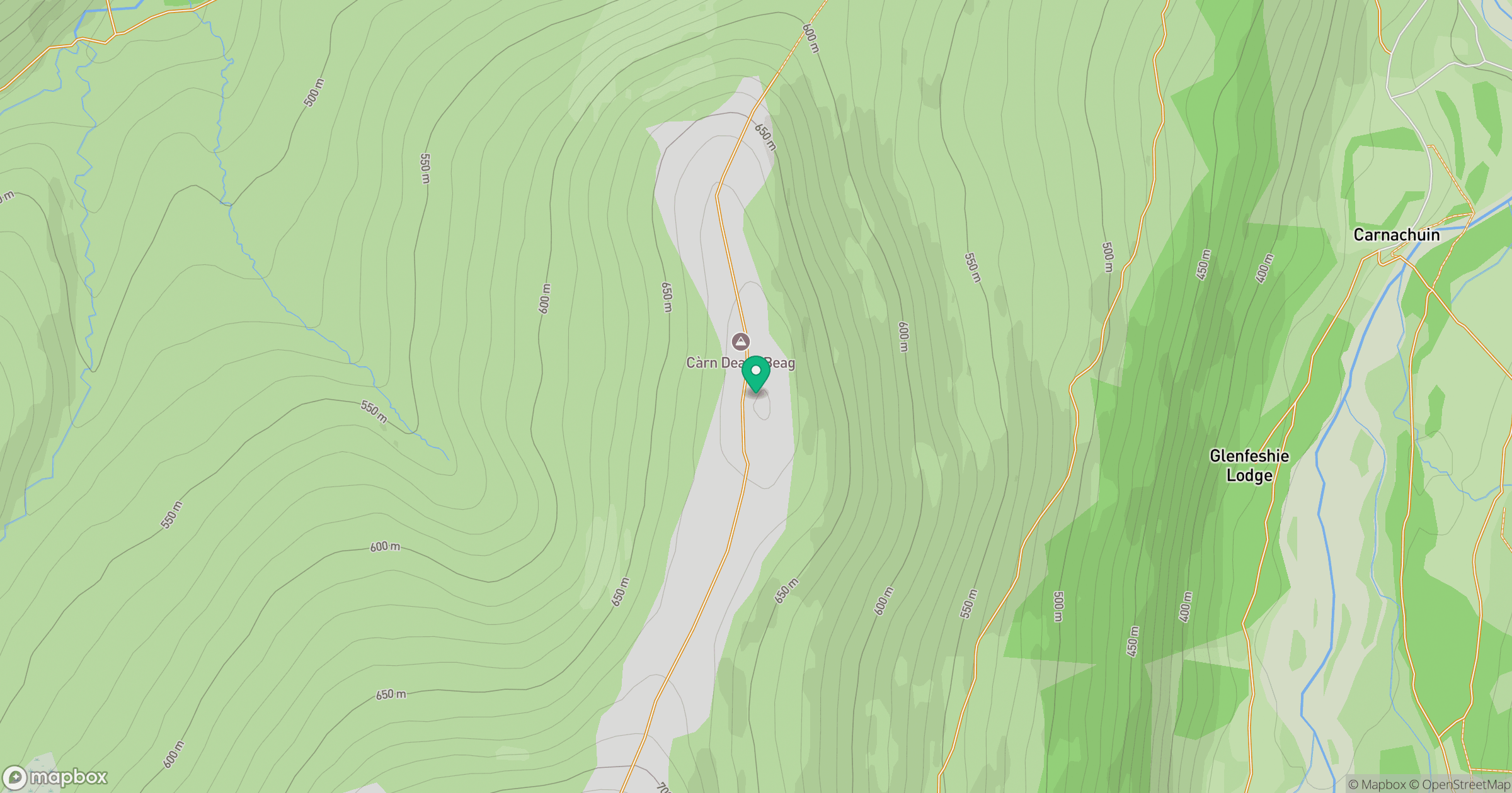
Grid reference: NN832935
View on OpenStreetMapOpens a map in a new tab, centred on the hill.
No comments yet. Be the first.