

Carn Bheadhair
Good walks are even better shared.
Overview
Carn Bheadhair: The Guardian of the Scottish Highlands
Overview
Nestled in the rugged beauty of the Scottish Highlands, Carn Bheadhair stands proudly at an elevation of 814 meters. A Munro in its own right, this peak offers both challenge and reward to those who dare tread its slopes.
Geology
Carn Bheadhair is a fine example of ancient Scottish geology. Composed mainly of granite, this mountain is characterised by its steep, rocky outcrops and patches of rich heather. Underfoot, you'll find a mix of schists and peaty ground, giving hikers an authentic feel of the rugged landscape shaped by millennia of glacial activity.
Routes
The most popular routes to the summit include a challenging loop starting from Beinn a' Chroin and a more moderate trek from Inverlochlarig. The former offers breathtaking vistas, while the latter allows for a gentler ascent, making it accessible to a wider range of walkers. Either way, don’t forget to bring your sense of adventure!
Summit Features
Atop Carn Bheadhair, you'll discover a modest cairn that marks the summit, surrounded by a blend of rocky terrain and vibrant heather. Bring your camera; this spot is perfect for that dramatic wind-swept selfie!
Terrain
The terrain is a delightful mix ranging from rocky patches to grassy slopes, with some stunning views along the way. However, be prepared to navigate boggy areas, especially if you’re hiking after a rain.
Views
From the summit, the panoramic views are nothing short of spectacular. Keep your eyes peeled for towering peaks like Ben More and expansive vistas across the southern Highlands. The sight of Loch Awe glimmering in the distance is a particularly rewarding view. Optimal viewing seasons are from late spring to early autumn, when the landscape is alive with the colours of blooming heather.
Hazards
As with any Highland hike, watch for sudden shifts in weather—what starts as a sunny day can turn into a storm in the blink of an eye. Prepare for slippery trails and potential encounters with bogs.
Access
Parking is available at nearby Inversnaid or at scenic lay-bys along the A84, with options to take public transport from Crianlarich to reach the trailhead. Be sure to bring along some snacks from the local shops in Crianlarich!
Facilities
While there are no facilities on the mountain itself, nearby Crianlarich has a café and shops to cater to your needs. Remember, a well-fed hiker is a happy hiker!
History
The name 'Carn Bheadhair' translates to 'Mound of the Old Man,' adding a touch of myth and legend to your hiking experience. This peak, like many in the Highlands, carries historical significance for both hiking enthusiasts and local lore.
In conclusion, whether you are a seasoned Munro-bagger or a newcomer to the outdoors, Carn Bheadhair offers an experience that is both challenging and incredibly rewarding. Lace up your boots, grab your walking pole, and get ready to explore the best that the Scottish Highlands have to offer!
Happy hiking!
Explore routes near Carn Bheadhair
Public walks starting within 80 km of this hill. Nearby does not mean a route reaches the summit; check its map and access before setting out.
Rothiemurchus: Beaver Trail and Lochan Mor
View route
Aviemore: Loch an Eilein and the Croft Track from Rothiemurchus
View route
Cairngorms night walk and stargazing (event meeting)
View route
Cairngorms night walk and stargazing (event meeting)
View route
Route planning notes
These notes describe possible approaches, not verified navigable routes or permission to cross land. Check current paths, local access rules and conditions before setting out.
Beinn a' Chroin to Carn Bheadhair Loop
A scenic loop that includes a trail from Beinn a' Chroin, offering beautiful vistas along the way and an exhilarating summit push.
Start from Inverlochlarig
This route provides a gentler ascent with well-defined paths that lead you through lush glens and moorland.
Make a day of it, together
Find someone to share the walk with, or organise a day out along a route you like.
Photo Gallery
View all Photo could not load
NJ0511 : Carn Bheadhair
Richard Webb
 Photo could not load
NJ0511 : Rocks on Carn Bheadhair
Richard Webb
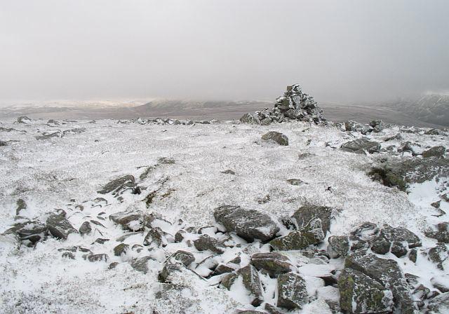 Photo could not load
NJ0511 : Carn Bheadhair
Richard Webb
Hill facts and local notes
Classifications
Elevation
804m
2,638 ft
Prominence
133m
Coordinates
57.1860, -3.5651
NJ054116
OS Map
36
Explorer: OL57N OL58N 403N 404N
At the Summit
The summit features a modest cairn marking the highest point, surrounded by a mix of heather and rocky outcrops. Perfect for a photo op—just don't forget to pose.
Terrain & Geology
Primarily composed of granite, with underlying schists that give way to scattered patches of rich heather, creating a vibrant landscape. The area is part of the ancient Caledonian mountain range.
Views & Scenery
Stunning views extend towards the southern highlands, with Ben More and Ben Klibreck dominating the horizon. On a clear day, you might even catch a glimpse of Loch Awe shimmering in the distance.
History & Heritage
Name Origin
The name 'Carn Bheadhair' is thought to translate to 'Mound of the Old Man,' evoking images of a wise figure watching over the land.
Historical Significance
As a Munro, it holds importance for both hikers and the local culture, often luring mountain enthusiasts with its rewarding summit and natural beauty.
Getting There & Facilities
Check current local access restrictions, parking rules and transport timetables before travelling. These notes do not confirm public access to the summit.
Parking
There is limited parking at Inversnaid near Loch Lomond, approximately 10km away. Alternatively, scenic lay-bys along the A84 provide ample parking, but be sure to arrive early.
Public Transport
The nearest bus service runs from Crianlarich, providing access to the A84 with a short walk to the trailheads.
Nearby Facilities
There are no facilities on the mountain itself. However, Crianlarich has a café and basic shops. Be sure to stock up on snacks and drinks before heading out.
Safety Information
Known Hazards
- Beware of sudden changes in weather, especially in the Highland region where conditions can shift from sunny to stormy in the blink of an eye. Slippery paths and bogs can challenge even the most seasoned hikers.
General Safety Tips
- Check weather conditions before setting out
- Carry appropriate clothing and equipment
- Let someone know your planned route
- Take a map, compass, and GPS device
- Carry emergency supplies: food, water, first aid kit, torch
Hills
Some common questions about the hills answered
Are there group walks up Carn Bheadhair?
Many walkers use Walkmates to join or organise walks with others. You can check for group walks around Carn Bheadhair through the maps
Are there other walkers around Carn Bheadhair?
Activity varies by location and time, but Walkmates lets you see whether others have shared walks or shown interest in this area. Find other people through the walking friends search walking friends for Carn Bheadhair search or of course create your own walk for Carn Bheadhair
Can I organise a walk to Carn Bheadhair?
Yes. If there aren’t any walks listed already, you can create a walk and make it available for others to join.
If you're signed up to Walkmates, you can create a walk to Carn Bheadhair.
How do I find a walk up this hill?
There are often multiple ways to walk this hill, depending on experience and route preference. Walkmates helps you explore walks and routes that others have shared.
Can I suggest a new route up Carn Bheadhair?
Yes. You can suggest or create routes to share with others. Walkmates focuses on the social side of walking, so routes are used to help people organise walks and explore areas together, rather than as detailed navigation tools or route libraries.
Other uses really appreciate knowledgeable walkers sharing their routes. Share your favourite route to Carn Bheadhair here
The is an error or something incorrect about this hill. How do I let you know?
We always strive to keep the information on Walkmates as accurate as possible. If you find an error, please let us know through the contact form and we'll aim to correct it as quickly as possible
Community Discussion
Comments
Location
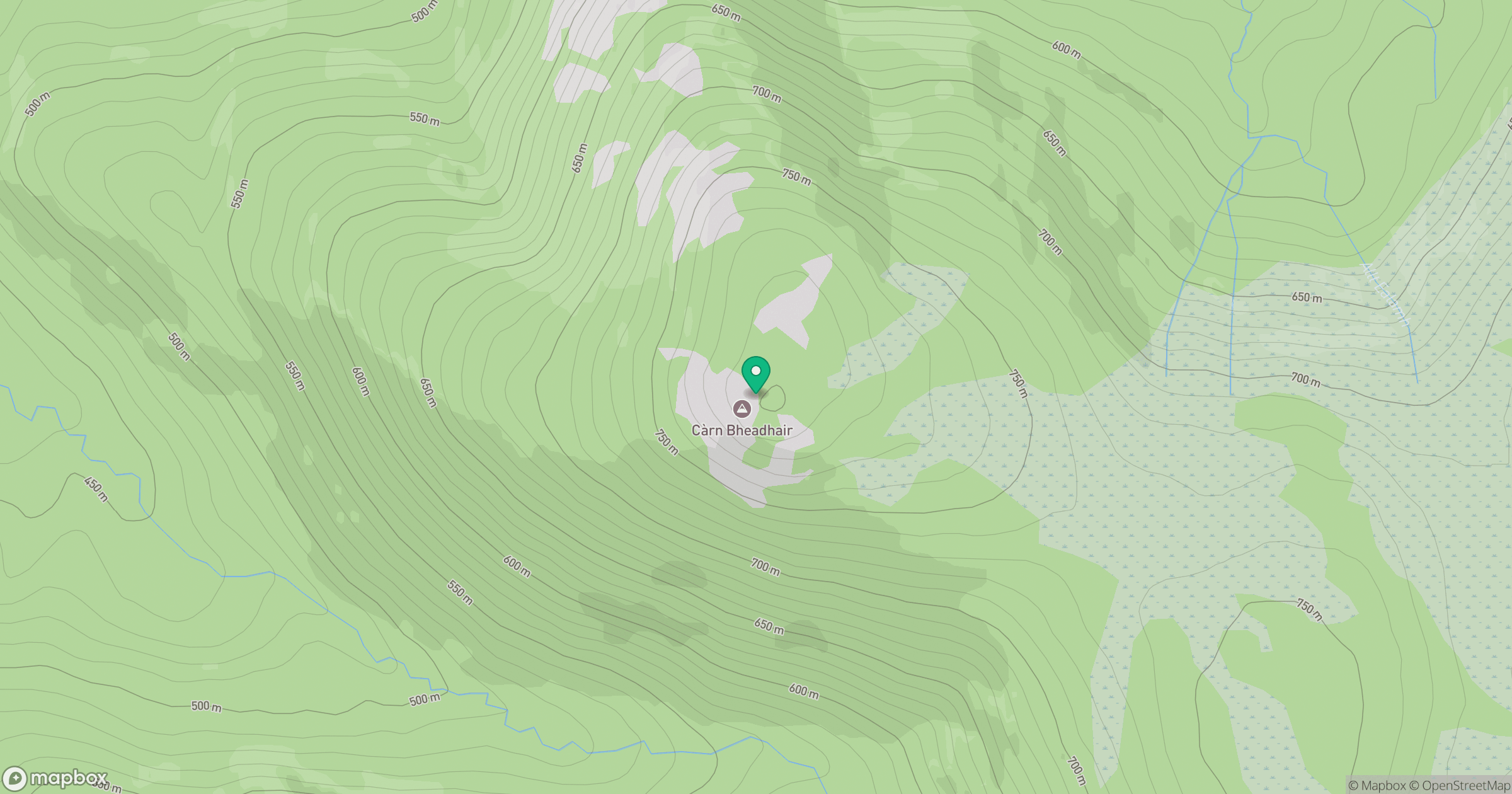
Grid reference: NJ054116
View on OpenStreetMapOpens a map in a new tab, centred on the hill.
Hills within 30 km
Straight-line distance, not a walking route or confirmation of access.
Bynack More
1,090m
Beinn Mheadhoin
1,183m
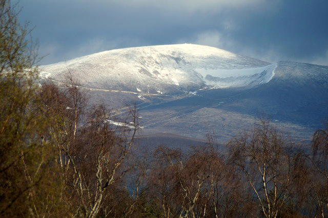
Cairn Gorm
1,245m
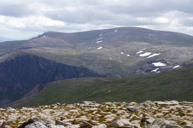
Ben Macdui [Beinn Macduibh]
1,309m
Ben Avon - Leabaidh an Daimh Bhuidhe
1,172m
No comments yet. Be the first.