

Carn Bad nan Luibhean
Good walks are even better shared.
Overview
Carn Bad nan Luibhean
Introduction
Carn Bad nan Luibhean, often affectionately called simply 'Carn Bad', is a Marilyn situated in the beautiful Scottish Highlands. This charming peak not only offers spectacular views but also a taste of the diverse geology and rich history that characterises this region.
Geology
The mountain's structure is primarily schist, giving it its distinctive appearance. The gradual formation we see today is a testament to the powerful glacial forces that shaped this area eons ago. As you ascend, keep an eye out for fascinating rock formations that make for great photo opportunities – just don't get too distracted or you might find yourself on the wrong side of a steep drop!
Routes
The Carn Bad nan Luibhean Circuit is a popular route, covering about 11 km with a time frame of 4.5 hours if you take your time enjoying the views. The circuit is moderate in difficulty, making it manageable for fit hikers. The path meanders through diverse landscapes, showcasing the beauty of the highlands and including some challenging rocky ascents.
Summit Features
At the summit, you’ll find a sturdy cairn that has seen many adventurers rest upon its stones. The views, as you might expect, are out of this world, with a 360-degree panorama that includes the captivating Cairngorms and the serene Loch Morlich below.
Terrain
Expect a mix of grassy slopes and rocky outcrops as you make your way up, with occasional boggy patches that will keep you on your toes – or on your backside if you're not careful! A good pair of hiking boots is essential.
Views
Visibility is best in the late spring to early autumn. After a rain shower, the scenery is particularly breathtaking as the heather blooms in vibrant colours. From the summit, look out for the landmark peaks in the distance; they are your friends along the way.
Hazards
Although Carn Bad doesn't pose significant risks, hikers should remain mindful of rapidly changing weather conditions. Loose rocks and slippery areas may add a little extra thrill to your ascent, so tread carefully.
Access
The nearest parking spot is at NH855230, just off the A95 road. However, for those relying on public transport, the closest bus station is located in Aberlour, about 8 km away.
Nearby Facilities
Don't forget to replenish after your hike! Aberlour is only a stone's throw away, offering local cafés and pubs where you can celebrate your conquest of Carn Bad with a warm drink and maybe a slice of cake or two.
Conclusion
Carn Bad nan Luibhean is not just a hike; it's an experience steeped in natural beauty, rich culture, and a sense of achievement. Whether you’re a seasoned hiker or just looking for a leisurely stroll, this mountain welcomes all. Grab your gear, don your boots, and make some memories that you won't forget!
Explore routes near Carn Bad nan Luibhean
Public walks starting within 80 km of this hill. Nearby does not mean a route reaches the summit; check its map and access before setting out.
Aviemore: Loch an Eilein and the Croft Track from Rothiemurchus
View route
Rothiemurchus: Beaver Trail and Lochan Mor
View route
Inverness: River Ness and Caledonian Canal circuit
View route
Culbin Forest: Hill 99, Gravel Pit Ponds and Dragonfly Pool
View route
Route planning notes
These notes describe possible approaches, not verified navigable routes or permission to cross land. Check current paths, local access rules and conditions before setting out.
Carn Bad nan Luibhean Circuit
A scenic loop that takes in the varied landscapes around Carn Bad nan Luibhean, offering a mix of gentle slopes and challenging ascents.
Make a day of it, together
Find someone to share the walk with, or organise a day out along a route you like.
Photo Gallery
View all Photo could not load
NH8523 : Carn Bad nan Luibhean
Richard Webb
Hill facts and local notes
Classifications
Elevation
471m
1,545 ft
Prominence
103m
Coordinates
57.2860, -3.9032
NH853233
OS Map
35 36
Explorer: OL60 418
At the Summit
The summit is crowned with a simple but sturdy cairn, offering excellent resting grounds for weary hikers. The panoramic views from the top are the real treasure.
Terrain & Geology
The mountain is primarily composed of schist, which gives way to striking rock formations and steep slopes characteristic of the Highlands. The area also features glacial deposits owing to its past glacial activities.
Views & Scenery
From the summit, one can see the rugged landscape of the surrounding Cairngorms, including the towering peaks of Ben Macdui and the glimmering waters of Loch Morlich.
History & Heritage
Name Origin
The name 'Carn Bad nan Luibhean' translates to 'Hill of the Badger of the Curves', an intriguing reference reflective of its indigenous fauna and the nature of the landscape.
Historical Significance
The region is steeped in history, with ancient paths and stories of clans intertwining with the rugged terrain of the Highlands.
Getting There & Facilities
Check current local access restrictions, parking rules and transport timetables before travelling. These notes do not confirm public access to the summit.
Parking
There is a small parking area at NH855230, just off the A95 road, which serves as the starting point for your ascent.
Public Transport
The nearest bus stop is in Aberlour, about 8 km away, accessible through regional bus services.
Nearby Facilities
Facilities are limited on the mountain itself, but nearby Aberlour offers cafés, pubs, and toilets for pre-hike or post-hike refreshments.
Safety Information
Known Hazards
- Watch for sudden weather changes typical of the Highlands. Loose rock on ascents can add to the challenge, and boggy areas may lead to a damp surprise.
General Safety Tips
- Check weather conditions before setting out
- Carry appropriate clothing and equipment
- Let someone know your planned route
- Take a map, compass, and GPS device
- Carry emergency supplies: food, water, first aid kit, torch
Hills
Some common questions about the hills answered
Are there group walks up Carn Bad nan Luibhean?
Many walkers use Walkmates to join or organise walks with others. You can check for group walks around Carn Bad nan Luibhean through the maps
Are there other walkers around Carn Bad nan Luibhean?
Activity varies by location and time, but Walkmates lets you see whether others have shared walks or shown interest in this area. Find other people through the walking friends search walking friends for Carn Bad nan Luibhean search or of course create your own walk for Carn Bad nan Luibhean
Can I organise a walk to Carn Bad nan Luibhean?
Yes. If there aren’t any walks listed already, you can create a walk and make it available for others to join.
If you're signed up to Walkmates, you can create a walk to Carn Bad nan Luibhean.
How do I find a walk up this hill?
There are often multiple ways to walk this hill, depending on experience and route preference. Walkmates helps you explore walks and routes that others have shared.
Can I suggest a new route up Carn Bad nan Luibhean?
Yes. You can suggest or create routes to share with others. Walkmates focuses on the social side of walking, so routes are used to help people organise walks and explore areas together, rather than as detailed navigation tools or route libraries.
Other uses really appreciate knowledgeable walkers sharing their routes. Share your favourite route to Carn Bad nan Luibhean here
The is an error or something incorrect about this hill. How do I let you know?
We always strive to keep the information on Walkmates as accurate as possible. If you find an error, please let us know through the contact form and we'll aim to correct it as quickly as possible
Community Discussion
Comments
Location
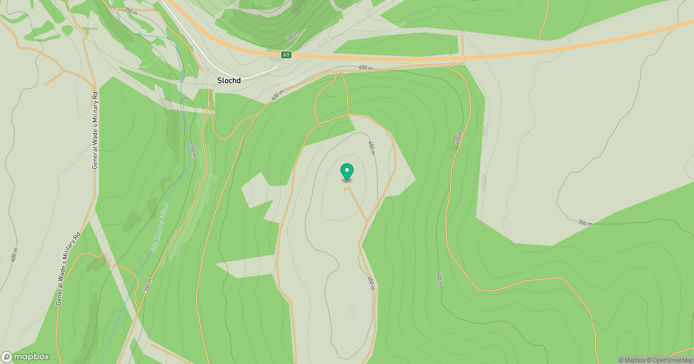
Grid reference: NH853233
View on OpenStreetMapOpens a map in a new tab, centred on the hill.
Hills within 30 km
Straight-line distance, not a walking route or confirmation of access.
Sgor Gaoith
1,116m
Braeriach
1,296m
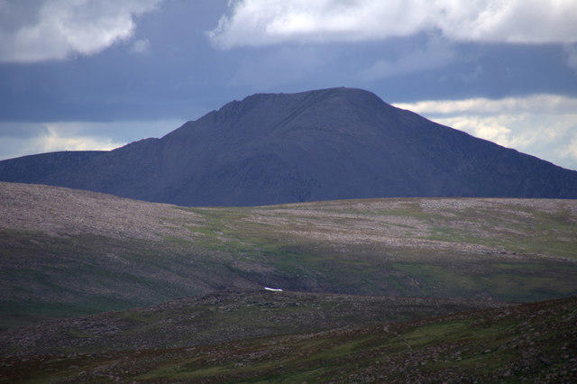
Cairn Toul
1,292m
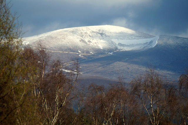
Cairn Gorm
1,245m
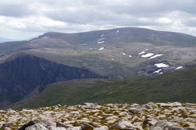
Ben Macdui [Beinn Macduibh]
1,309m
No comments yet. Be the first.